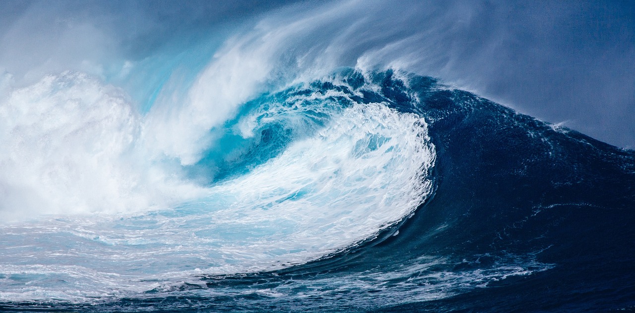
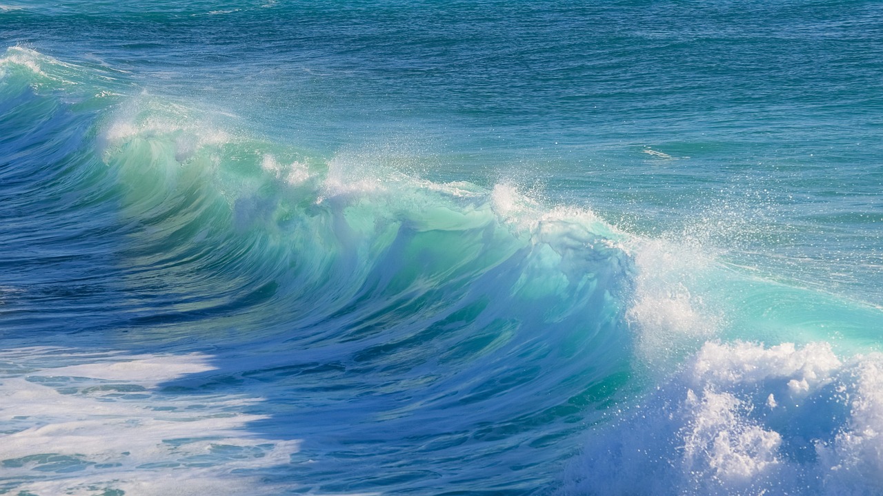
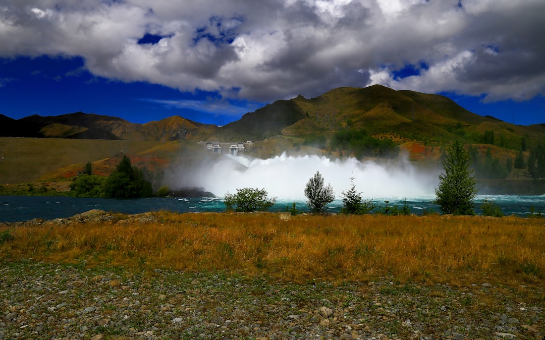
Picture this: you’re enjoying a perfect summer day at a Great Lakes beach when suddenly, the water starts behaving strangely. The waves grow larger than they should during calm weather, and within minutes, a wall of water crashes onto the shore with devastating force. This isn’t science fiction or a disaster movie plot.
Scientists have confirmed that tsunamis do occur in the Great Lakes, though they’re not caused by earthquakes but by weather conditions. These fascinating yet potentially dangerous phenomena challenge everything you thought you knew about inland water safety. Let’s explore what experts have discovered about Great Lakes tsunamis and why they’re capturing the attention of researchers worldwide.
The Surprising Reality of Great Lakes Tsunamis
The answer to whether tsunamis occur in the Great Lakes is actually yes, even though the region has low seismic activity. This revelation has stunned both scientists and the public alike. Research published in 2018 found that tsunamis have occurred in all five Great Lakes, but not one formed from earthquake activity – rather, they’re caused by gathered groups of thunderstorms.
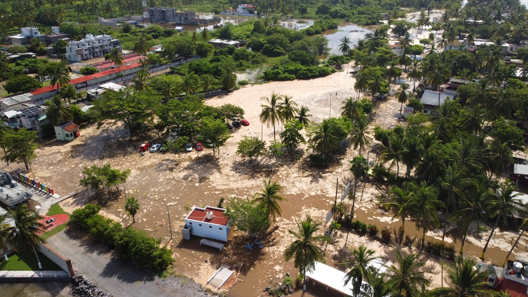
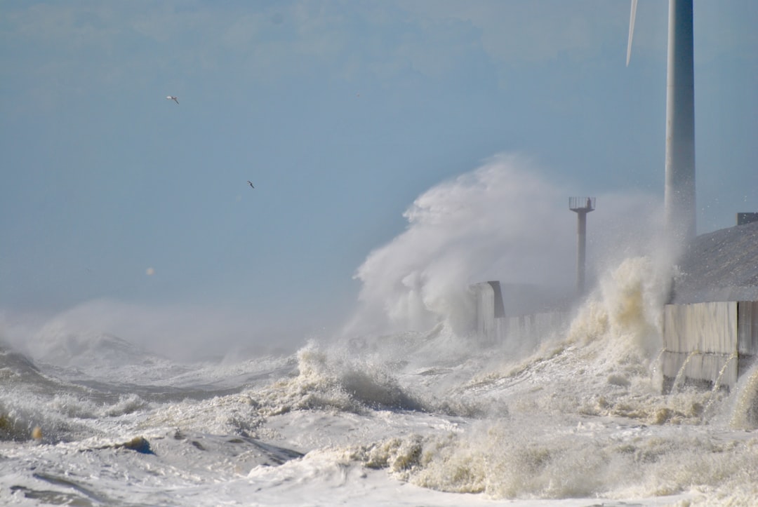
These Great Lakes tsunamis are technically called meteotsunamis, defined as rapidly moving waves generated by quickly changing air pressure or high wind speeds. The phenomenon represents a completely different type of tsunami than the seismic events we typically associate with ocean disasters. While smaller than their oceanic counterparts, these waves can still pack a deadly punch that catches people completely off guard.
How Meteotsunamis Actually Form
The conditions that create meteotsunamis typically involve long line formations of thunderstorms or organized groupings of long-lasting thunderstorms. Think of it like nature’s perfect storm brewing over the vast expanse of freshwater. The highest probability occurs during late spring to mid-summer, with April and May being peak months.
The physics behind meteotsunami formation involves a delicate balance of atmospheric conditions. Scientists at NOAA’s Great Lakes Environmental Research Laboratory have been monitoring lake waters with experimental buoys originally designed to warn Pacific Ocean populations of earthquake-induced tsunamis. For a meteotsunami to form, a thunderstorm must move at just the right speed, with precise changes in pressure and wind, sustained long enough to transfer energy from air to water.
Historical Evidence That Will Shock You
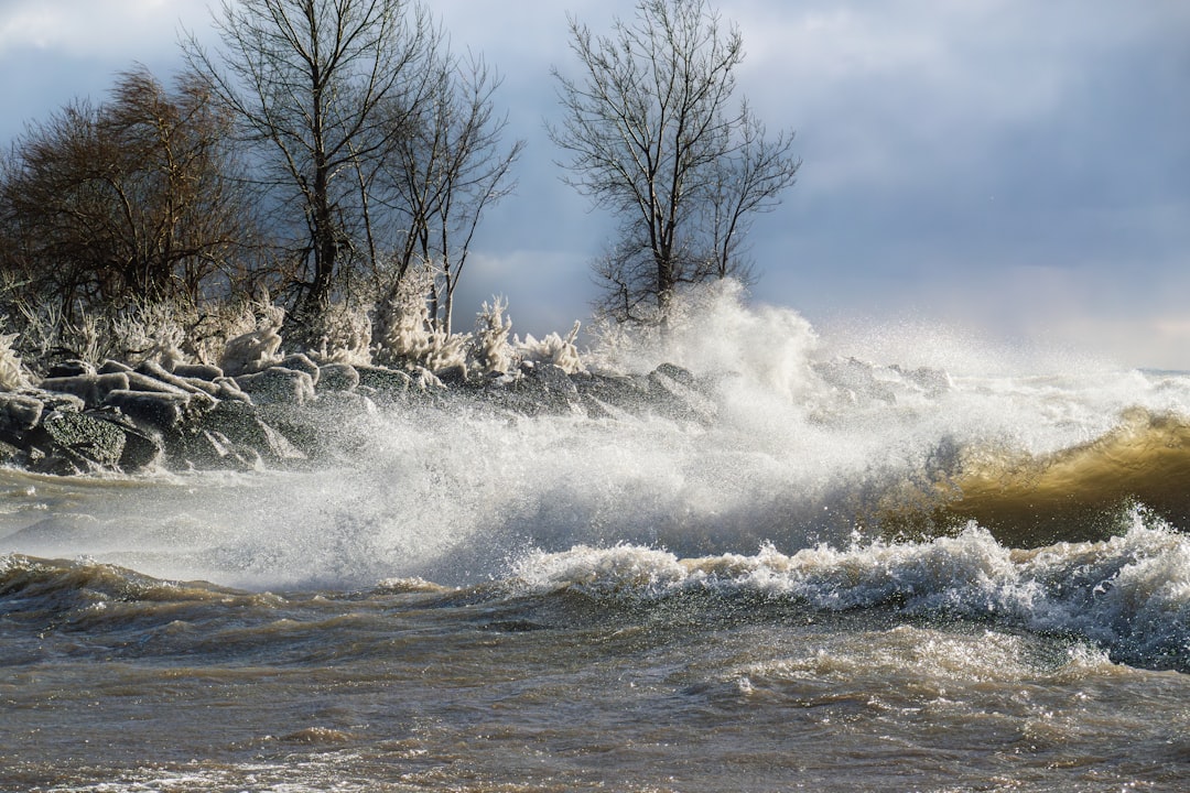
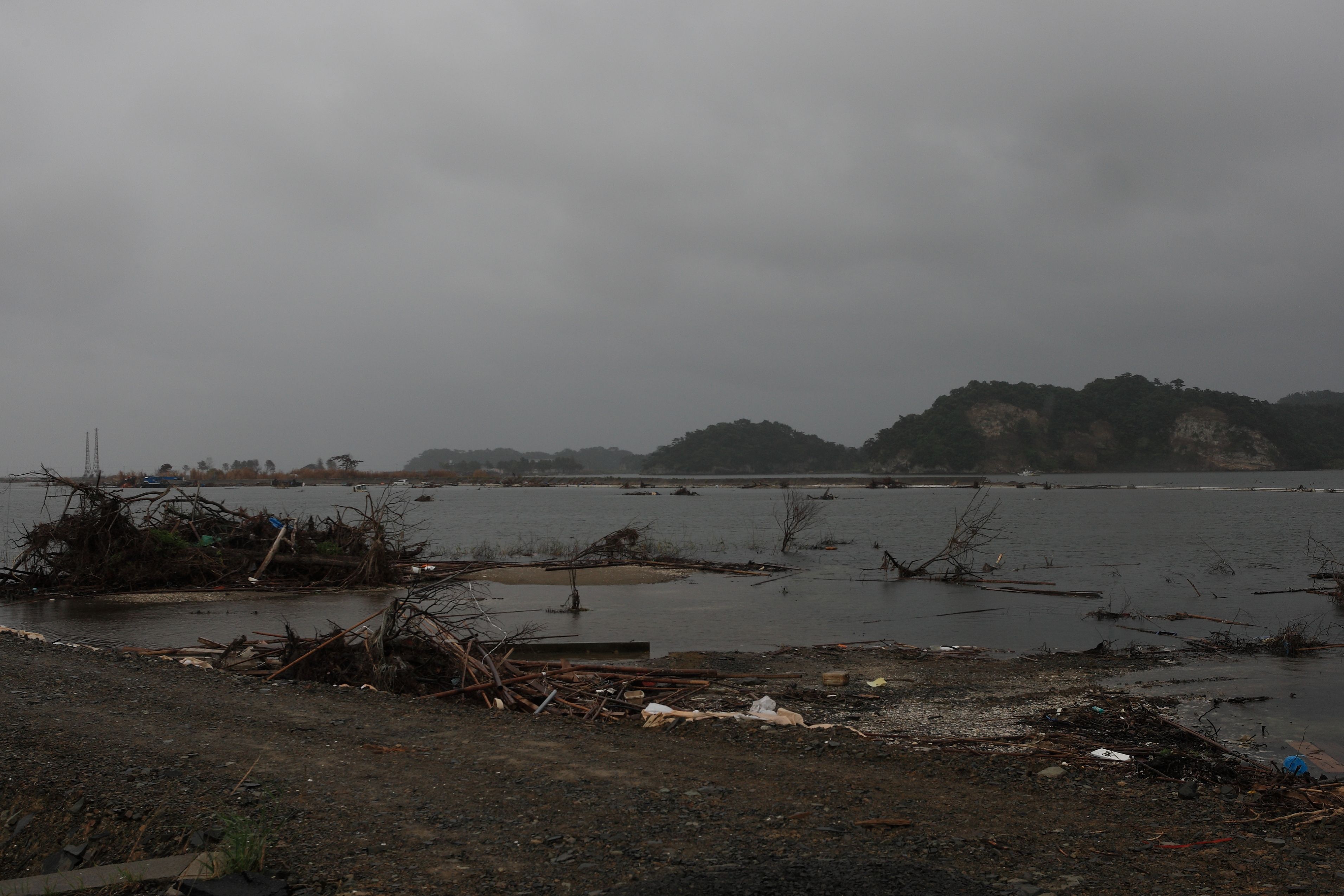
NOAA reports that in June 1954, a “freak wave” killed 8 people along the Chicago lakeshore. This tragic event wasn’t isolated. On July 4, 1929, a large wave killed 10 people swept off a pier in Grand Haven, Michigan, while in June 1954, a “freak wave” killed 8 people along the Chicago lakeshore.
More recently, a July 4 storm at Warren Dunes State Park in Michigan in 2003 caused a meteotsunami that killed seven swimmers caught in resulting rip currents. These historical accounts paint a sobering picture of the real danger these weather-driven tsunamis pose to Great Lakes communities. The pattern of July 4th incidents highlights how these events often strike during peak recreational periods when beaches are most crowded.
Recent Devastating Events
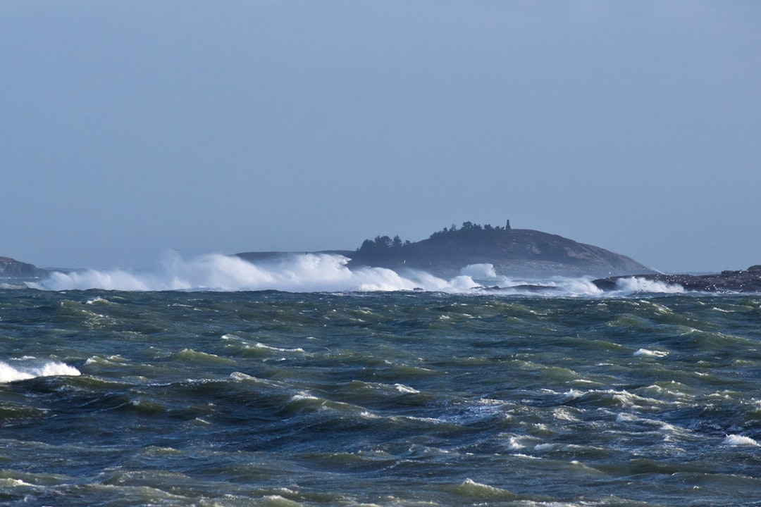
In 2014, a Lake Superior meteotsunami overtopped the Soo Locks, impacted shipping operations, and caused evacuation of homes in Sault Ste. Marie, Ontario. Another event in 2012 off Cleveland, Ohio, knocked people off their feet and swamped boats in harbors. These recent incidents prove that meteotsunamis remain an active threat across all the Great Lakes.
The research work intensified after a 2018 wave surged onto Lake Michigan’s beach near Ludington, Michigan, damaging homes and boat docks during calm weather conditions. This event marked the first time experts successfully reproduced a meteotsunami through modeling, opening doors for enhanced understanding. The Ludington incident became a watershed moment for Great Lakes tsunami research.
Which Lakes Face the Greatest Risk
Research indicates Lake Michigan experiences the highest frequency of meteotsunamis at 51 per year, followed by Lake Erie with 27 annually. Lake Huron sees 17 per year, Superior 6 per year, and Ontario 5 per year. Based on limited research, southern Lake Michigan and Lake Erie are considered the lakes most at risk.
Specific locations show even more dramatic patterns, with Calumet Harbor, Illinois on Lake Michigan recording the most frequent events at 29 per year, followed by Buffalo, New York on Lake Erie at 17 per year. These statistics reveal that certain geographic areas face significantly higher meteotsunami risks than others. The concentration of events in southern portions of these lakes correlates with atmospheric patterns and topographic features that amplify wave formation.
The Startling Frequency of These Events
Meteotsunami events of potentially dangerous magnitude occur an average of 106 times per year throughout the Great Lakes region. This number far exceeds what most people would imagine for inland waters. These tsunami-type events happen an average of 106 times annually, making them far more common than the occasional dramatic incidents that make headlines.
These results reveal that meteotsunamis are much more frequent than historic anecdotal reports suggested. Many smaller events likely go unnoticed or get misclassified as other weather phenomena. The frequency data suggests that anyone spending significant time on or near the Great Lakes will inevitably encounter meteotsunami conditions, even if they don’t recognize them as such.
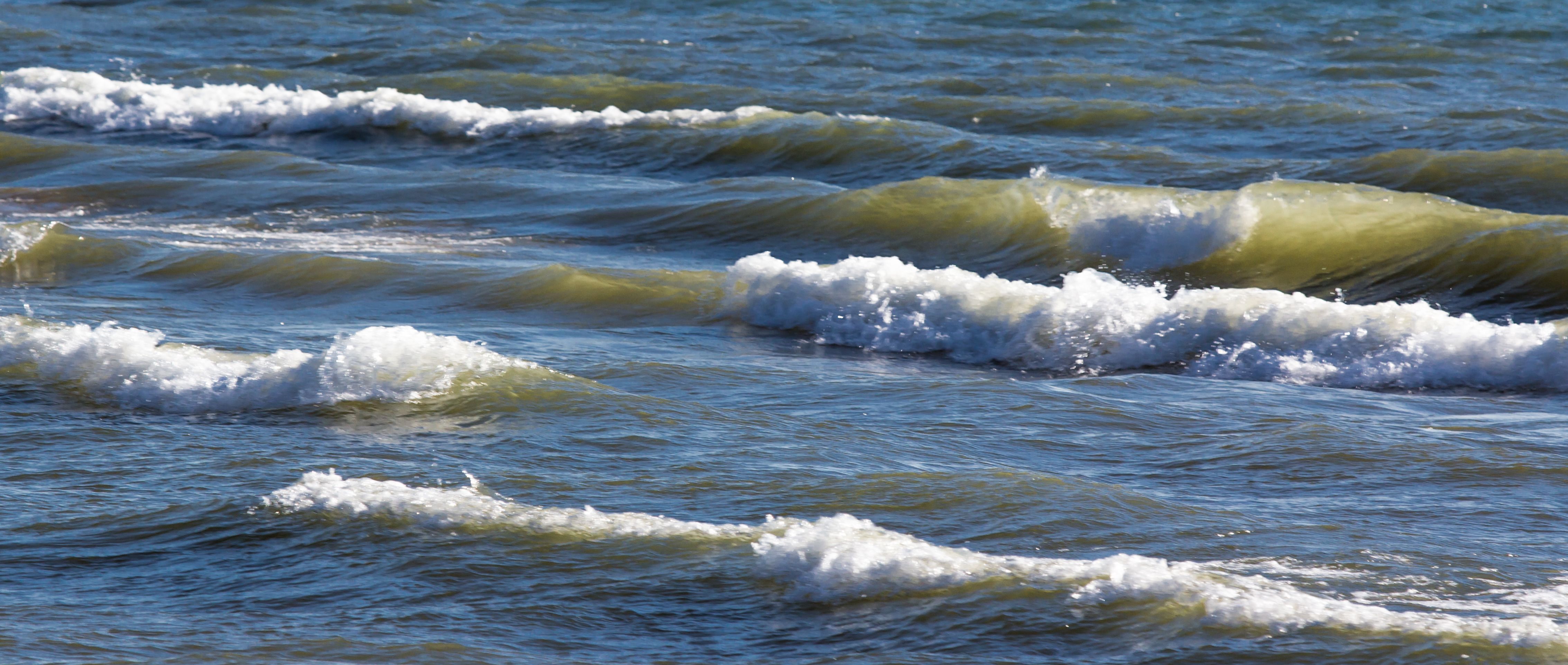
How Meteotsunamis Differ From Regular Storm Waves
Seiches result when strong winds push water from one lake end to another, causing water to rebound and oscillate for hours or days with periods between highs and lows lasting four to seven hours. In contrast, meteotsunamis generate waves in a matter of minutes. This timing difference creates distinct hazard profiles.
A meteotsunami generally appears as one to a few waves spaced only minutes apart, impacting a localized lake area, while seiches are standing waves that oscillate within the entire lake. Unlike seiches that exist across whole lakes, meteotsunamis are finite in size and length, and may appear more like sudden rises in water level or flooding events rather than recognizable waves.
The Earthquake Connection That Experts Debate
It is possible for an earthquake to cause a tsunami in the Great Lakes, as tsunamis can occur in large lakes like the Great Lakes. However, most tsunamis require earthquakes with magnitudes over 7.0 occurring near the lake, and earthquakes deeper than 100 kilometers below Earth’s surface are unlikely to displace lake floors sufficiently.
The Great Lakes region is mostly immune to earthquakes, which significantly reduces seismic tsunami risk. Magnitudes below 6.5 are very unlikely to trigger meteotsunamis, and a 5.0 earthquake would have minimal chance of causing one. This geological reality means that weather-driven meteotsunamis pose a far greater threat than earthquake-generated tsunamis in the Great Lakes region.
Cutting-Edge Monitoring Technology
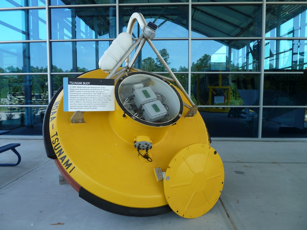
Scientists at NOAA’s Great Lakes Environmental Research Laboratory have begun monitoring lake waters with an experimental buoy originally designed for Pacific Ocean tsunami warnings, first deployed in Lake Michigan in June 2023. The buoy anchors to Lake Michigan’s floor and monitors water levels for anomalies suggesting meteotsunami passage, potentially providing real-time detection capabilities.
Advanced warning through buoy observations and experimental modeling efforts could improve rip current detection and provide better beach safety warning systems. This technological advancement represents a crucial step toward protecting Great Lakes communities from meteotsunami hazards. The monitoring system adapts ocean-based tsunami detection technology for freshwater environments, creating unprecedented situational awareness.
The Alarming Gap in Emergency Planning
Research found that waves generated by meteotsunamis are not considered in planning or design along Great Lakes coasts, and available forecast models are insufficient for public safety efforts. This represents a significant vulnerability in regional disaster preparedness. The U.S. Coast Guard isn’t familiar with meteotsunami terminology, often misclassifying these conditions as storm surge, seiche, or freak waves.
Developing a warning system for meteotsunamis is literally a matter of life and death. Experts are working to develop real-time meteotsunami warning systems that would reduce coastal flooding risks, prevent swimmer drowning, and increase nuclear power plant operational safety. The planning gap represents years of overlooked hazard assessment that communities are now scrambling to address.
Conclusion
The evidence is clear and somewhat unsettling: tsunamis absolutely can and do hit the Great Lakes with remarkable frequency. These meteotsunamis have been an overlooked hazard that poses real dangers to millions of people living and recreating around these massive freshwater bodies. While they differ from ocean tsunamis in their weather-driven origins, they share the same potential for destruction and loss of life.
The good news is that scientists and emergency management officials are finally taking these threats seriously. With new monitoring technology, improved research understanding, and growing awareness among coastal communities, we’re better positioned than ever to prepare for and respond to these inland tsunami events.
What do you think about these surprising Great Lakes tsunami risks? Have you ever experienced unusual wave conditions that might have been a meteotsunami? Share your thoughts and experiences in the comments below.

Hi, I’m Andrew, and I come from India. Experienced content specialist with a passion for writing. My forte includes health and wellness, Travel, Animals, and Nature. A nature nomad, I am obsessed with mountains and love high-altitude trekking. I have been on several Himalayan treks in India including the Everest Base Camp in Nepal, a profound experience.