What if the most powerful climate allies in the United States aren’t towering forests, but shadowy swamps and tide-laced marshes that squelch underfoot? Fresh analyses from federal datasets highlight a striking reality: wetland soils, often overlooked and underfoot, can lock away carbon at rates that rival or surpass tree-covered landscapes on a per‑acre basis. That flips the usual script and reframes wetlands as quiet engines of climate stability, not just wildlife havens. Drawing on insights consistent with EPA greenhouse gas accounting and NOAA coastal blue carbon maps, a clearer picture is emerging – one where soggy ground is doing heavy lifting. The stories below trace that science across ten places where mud matters as much as wood.
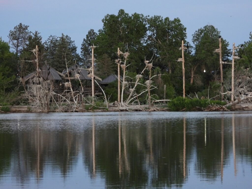
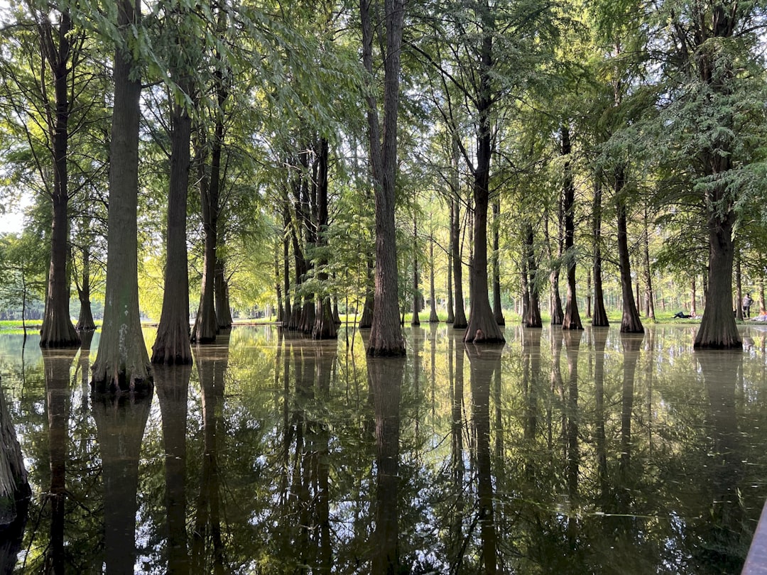
Great Dismal Swamp (Virginia–North Carolina)
You can feel the carbon under your boots here, held in peat layers built grain by grain over centuries. As long as water levels stay high, decay slows to a crawl and the swamp becomes a vault, storing more in soils than many forests store in trunks and branches. EPA accounting emphasizes that soils are the dominant carbon reservoir in many ecosystems, and Dismal’s peat makes that point in dramatic fashion.
When the swamp is drained or burns, that vault can open and pulse carbon back to the air. That is why restoration – plugging ditches, rewetting peat, reducing fire risk – doubles as climate policy. Compared with upland pines nearby, the soil carbon below this swamp’s knees tells a bigger, deeper story.
Okefenokee Swamp (Georgia–Florida)
The Okefenokee’s tea‑colored waters hint at a chemistry that keeps carbon in place. Thick peat mats and cypress domes mean the bulk of the carbon is underground, where oxygen is scarce and microbes work slowly. NOAA’s habitat inventories flag such peat‑rich wetlands as exceptional long‑term sinks.
Forests store a lot aboveground where storms, pests, and fires can flip the balance quickly. Here, the ledger is buried, so the system’s carbon security depends on hydrology. Keep the water high and steady, and this sprawling swamp continues to outpace many forests on a per‑acre basis.
Everglades Mangrove Fringe (Florida)
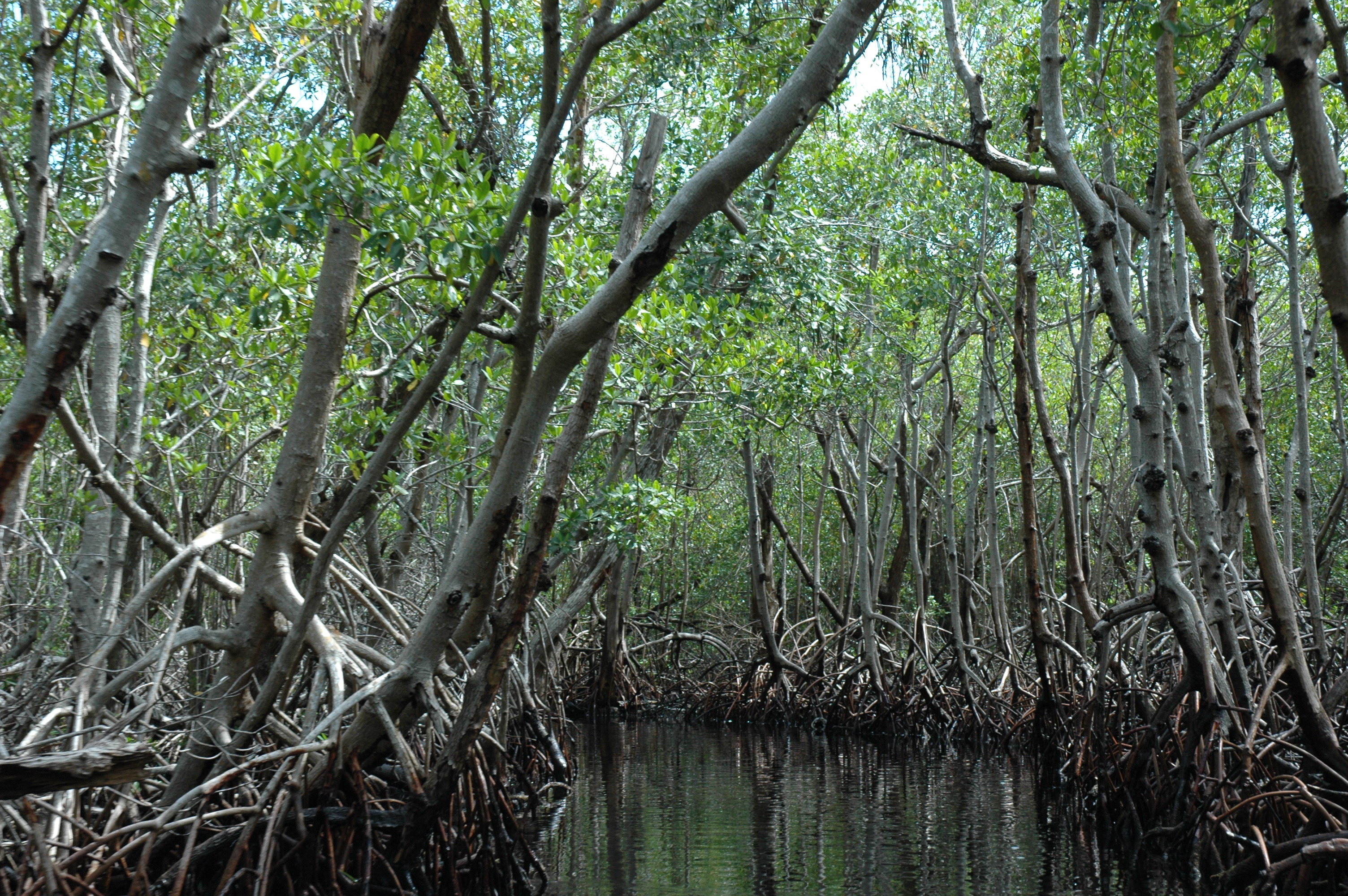
Along the southern fringe of the Everglades, mangroves trap tides and build soil, stacking carbon in dark layers beneath their roots. Blue carbon science, championed across NOAA coastal programs, shows these tree‑lined marshes bury carbon at impressive rates while also buffering storms. In contrast, nearby upland forests rely more on living biomass, which can be lost in a single hurricane season.
What surprised me on a field visit wasn’t the height of the mangroves but the depth of the soil – they’re gardeners of their own foundations. As those foundations rise, they keep pace with moderate sea‑level rise and keep the carbon out of circulation. It’s climate resilience you can stand on.
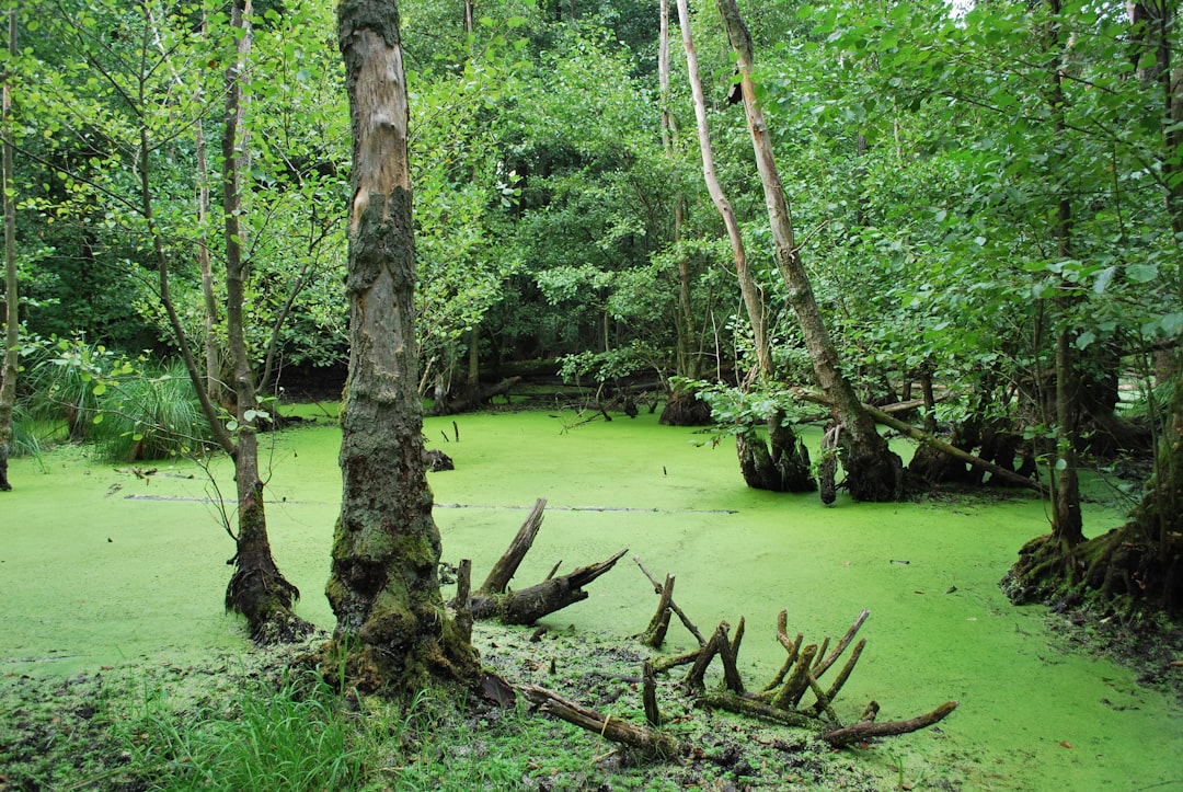
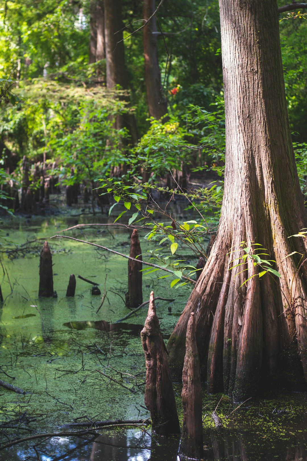
Atchafalaya Basin (Louisiana)
America’s largest river swamp is a tangle of backwaters where sediments, leaves, and flood pulses build thick organic soils. EPA’s ecosystem accounting underscores that such water‑logged soils are carbon‑heavy, even when the canopy is patchy or disturbed. Compared with nearby bottomland forests on higher ground, the Basin’s flooded soils hang onto carbon longer because decomposition slows when oxygen is scarce.
That doesn’t mean the Basin is invulnerable. Altered flood timing and prolonged drought can flip the switch on soil processes, releasing stored carbon. The lesson here is simple: water management is carbon management.
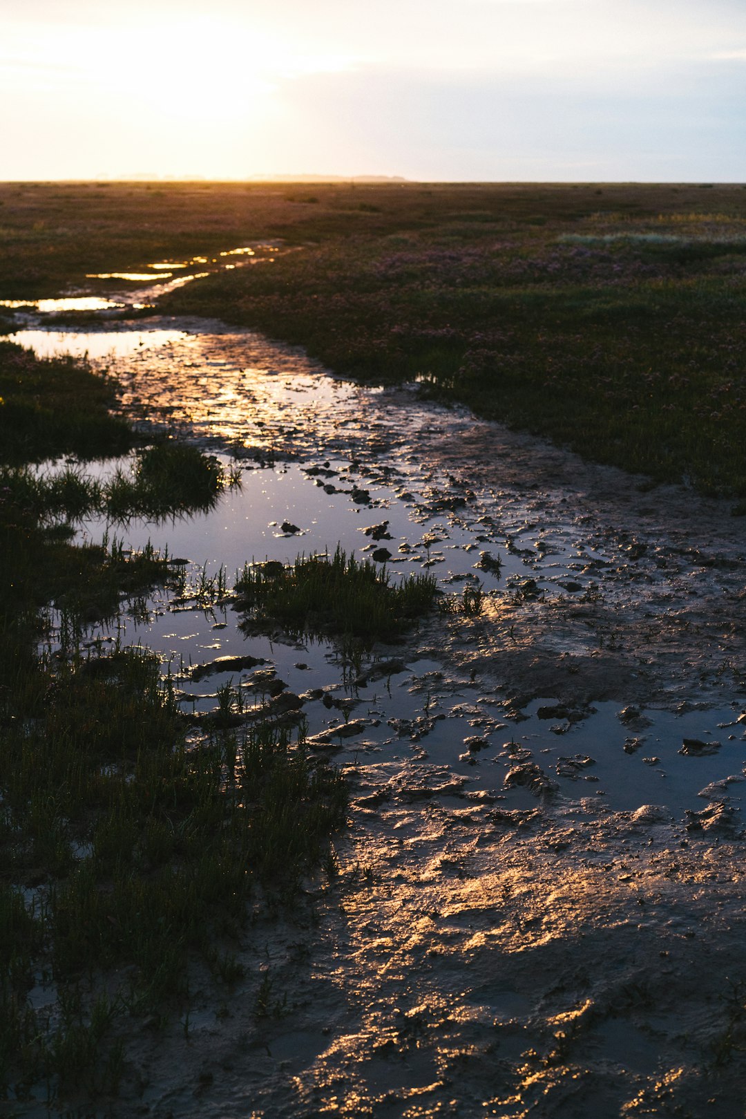
Barataria–Terrebonne Marshes (Louisiana)
South of New Orleans, salt and freshwater braid together into mats of marsh grass that are deceptively tough. Each tide leaves organic crumbs that sink, settle, and lock into place, adding to a thickening carbon bank underfoot. NOAA’s coastal datasets spotlight these marshes as blue‑carbon standouts in the Gulf.
Forests fix carbon rapidly in leaves and wood, but marshes excel at burial – nature’s secure storage. The catch is subsidence and sea‑level rise, which can drown marshes if sediment supply is cut. Reconnecting rivers to deliver sediment is a climate strategy as much as a restoration one.
Blackwater National Wildlife Refuge (Maryland, Chesapeake Bay)
Blackwater’s broad marsh platforms hold carbon like a quiet ledger book, page after page of fine‑grained peat. Over the last century, erosion and rising seas have gnawed at that ledger, exposing and oxidizing old carbon. That vulnerability has sparked an era of living‑shoreline projects that aim to slow the loss and keep carbon in place.
In the forested uplands nearby, carbon is stored mostly aboveground in wood that can be felled or burned. Here, the mass lives in the mud, and that shifts how risk is managed. Stabilize shorelines, rebuild marsh edges, and you defend both habitat and climate benefits.
Suisun and San Francisco Bay Tidal Marshes (California)
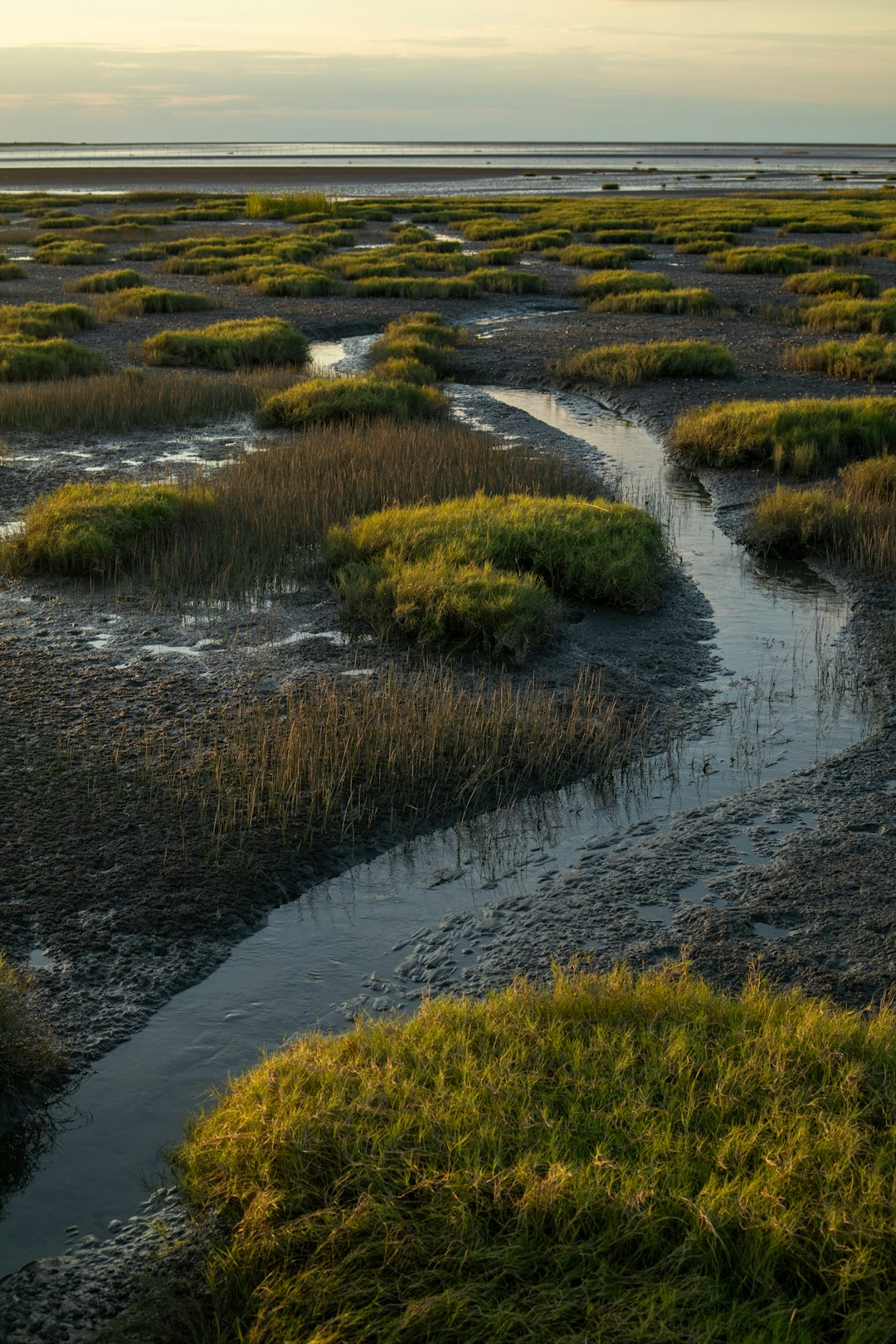
On the Pacific coast, restored tidal marshes from Suisun to the South Bay are showing how quickly carbon burial can resume once tides return. NOAA restoration tracking and state monitoring document soils thickening as roots stitch new structure into mud. Compared with coastal forests of the region, these marshes tuck away more in sediments relative to their footprint.
There’s a practical angle too: urban marshes buffer flood peaks for millions of people. When cities invest in levees with marsh toes or horizontal levees, they also invest in carbon storage that builds itself. It’s infrastructure that grows stronger with time, not weaker.
Yukon–Kuskokwim Delta (Alaska)
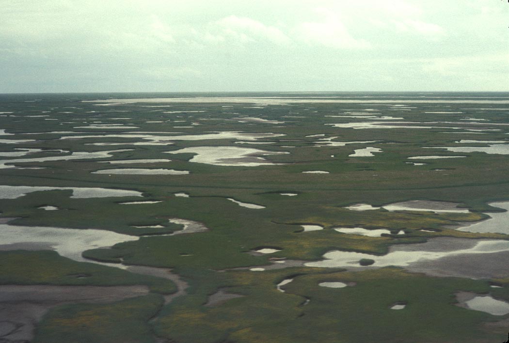
Vast, treeless, and wet for much of the year, this delta is a continental‑scale carbon bank. The chilled, saturated soils slow decay to a near standstill, allowing organic layers to stack up over millennia. EPA climate inventories recognize northern peat and tundra wetlands as massive soil reservoirs.
Forests in the Lower 48 may cycle carbon faster, but this wet Arctic engine plays the long game. Thaw and drying, however, could swing the pendulum and mobilize what’s been locked away. Protecting hydrology and insulating permafrost is as much about climate as it is about wildlife.
Red Lake Peatlands (Minnesota)
Stretching across the north, these peatlands are quiet, sponge‑like landscapes that keep water and carbon in. I remember the springy feel underfoot – like walking a memory foam mattress stitched by sphagnum. Those mosses build peat centimeter by centimeter, a patience game forests can’t match belowground.
EPA’s accounting framework treats peat soils as long‑duration stores, provided they remain wet and cool. Drainage for timber or roads flips the script fast by inviting oxygen in. Keep the water table high and the climate benefit endures.
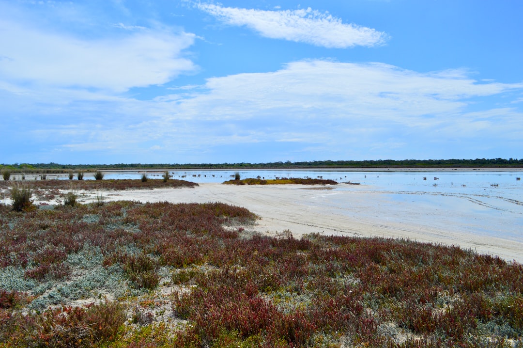
Great Salt Lake Wetlands (Utah)
Around the lake’s margins, briny marshes and deltas sequester organic matter in fine sediments. Even in saline settings, rooted plants shuttle carbon belowground where it becomes part of the lake’s stratified archive. NOAA habitat maps emphasize that these mosaic wetlands, though fragmented, deliver outsized storage per acre relative to many upland forests.
Low water levels increase dust and stress marsh plants, risking both habitat and carbon. Restoring inflows and protecting wetland mosaics here serve birds, people, and the climate ledger all at once. It’s a desert surprise with a climate dividend.
Prairie Pothole Wetlands (North Dakota–South Dakota) – How to Help
Scattered like sky mirrors across the plains, these shallow basins hide thick black soils under a gloss of water. Seasonal flooding slows decay, letting organic matter pile up beneath grasses and reeds. Compared with adjacent shelterbelt forests, the potholes’ soils often carry the bigger carbon load where they remain undisturbed.
Protecting them isn’t complicated. Small actions compound: keep drainage tiles out, restore buffers, and support easements that leave basins intact. If you want simple steps that matter locally, consider these:
– Back community wetland restorations with a small monthly donation.
– Learn where your county stands on drainage permits and speak up for retention.
– When recreating, stay on established paths to protect fragile rims.

Suhail Ahmed is a passionate digital professional and nature enthusiast with over 8 years of experience in content strategy, SEO, web development, and digital operations. Alongside his freelance journey, Suhail actively contributes to nature and wildlife platforms like Discover Wildlife, where he channels his curiosity for the planet into engaging, educational storytelling.
With a strong background in managing digital ecosystems — from ecommerce stores and WordPress websites to social media and automation — Suhail merges technical precision with creative insight. His content reflects a rare balance: SEO-friendly yet deeply human, data-informed yet emotionally resonant.
Driven by a love for discovery and storytelling, Suhail believes in using digital platforms to amplify causes that matter — especially those protecting Earth’s biodiversity and inspiring sustainable living. Whether he’s managing online projects or crafting wildlife content, his goal remains the same: to inform, inspire, and leave a positive digital footprint.