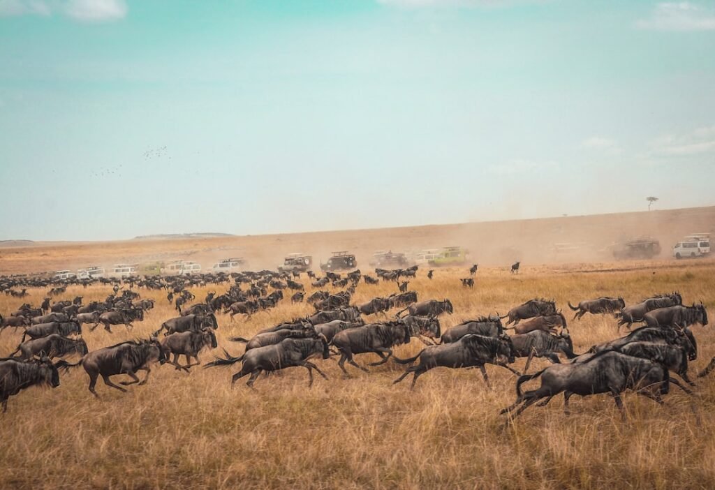
Across the United States, new wildlife overpasses and habitat corridors are quietly redrawing the routes animals take to survive. For decades, highways sliced through ancestral paths, turning migration into a gamble and biodiversity into a patchwork. Now, from the Cascades to the Everglades, engineered lifelines and restored linkages are stitching landscapes back together. These projects blend ecology with concrete and steel, translating animal behavior into design that actually works. The result is as practical as it is hopeful: fewer dead zones, safer roads, and migrations that once seemed doomed finding their way again.
Path of the Pronghorn, Wyoming: Trappers Point Overpass
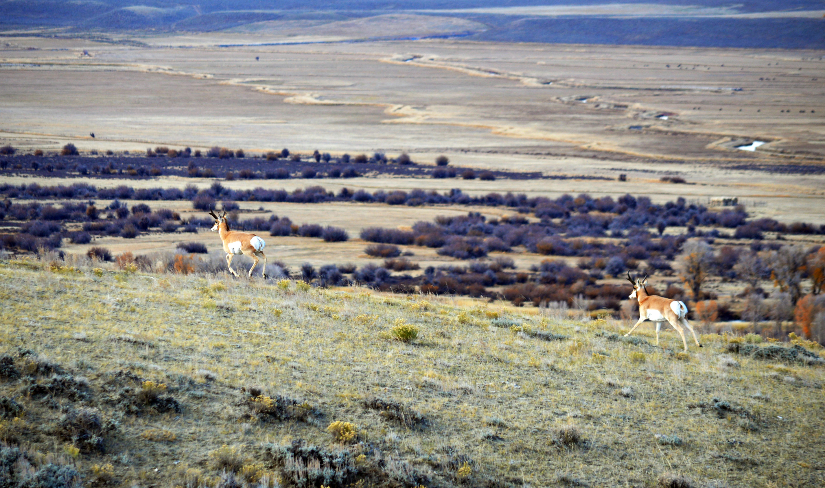
What happens when the fastest land mammal in North America meets a busy highway? In western Wyoming, pronghorn once funneled through a historic bottleneck near Pinedale, only to collide with traffic and fences. The Trappers Point overpass flipped that script by arching a naturalized bridge over the roadway, channeling movement with fencing that guides herds as if by riverbanks. Biologists followed with collar data, watching migrations snap back into focus across seasons.
The payoff reached beyond pronghorn: mule deer, coyotes, and small mammals also began using the structure, revealing a multi-species dividend. Local drivers noticed fewer nighttime surprises, while researchers mapped restored connectivity between summer ranges and winter refuge. It’s a simple lesson with big reach: when you build for behavior, biodiversity responds.
Colorado Highway 9, Blue River Valley: Safer Crossings, Wilder Valley
North of Silverthorne, a notoriously dangerous stretch of Highway 9 now reads like a handbook for modern wildlife design. Two vegetated overpasses and several underpasses, stitched together by miles of wildlife fencing, transformed a collision corridor into a functional migration pathway. The crossings are positioned where animals naturally wanted to move, turning deadly pinch points into green bridges.
Trail cameras and track beds tell the story in paw prints and hoof marks, not rhetoric. Elk and deer adopted the passages first; then carnivores, small mammals, and even wary species followed as vegetation matured. The valley didn’t just get safer – its ecological pulse became steadier, with seasonal movements reconnecting habitat patches that had been drifting apart.
I‑90 Snoqualmie Pass, Washington: Cascades Reconnected
At Snoqualmie Pass, the interstate once worked like a wall through the Cascades, splitting forest and alpine habitats. Over time, Washington reimagined the corridor with an expanding network of overcrossings and undercrossings, anchored by a broad, soil-topped bridge near Keechelus Lake. Designers mimicked local terrain and vegetation so the structure reads as habitat, not infrastructure, to wary wildlife.
The cascading benefits are tangible: elk herds flow, carnivores shadow those movements, and smaller species follow the sheltering vegetation. Snow, wind, and avalanches no longer seal the door on seasonal movement. Instead, the highway behaves more like a permeable seam, letting ecosystems breathe across the spine of the state.
Parleys Summit, Utah: The I‑80 Wildlife Bridge That Changed Minds
Utah’s Parleys Summit overpass became a cultural moment when early wildlife footage circulated, showing animals calmly padding over traffic. The design may look simple – soil, plants, gentle slopes – but it wraps decades of research on animal vision, noise sensitivity, and flight distance into a single span. Fencing and wing walls guide movement as reliably as canyon walls would.
Drivers now pass beneath a living roof that feels strangely calming, even at highway speed. For wildlife, the bridge is routine infrastructure, not a leap of faith. It is proof that public perception can shift quickly when people see a solution working in real time, not just in a planning document.
Liberty Canyon, California: A Lifeline for the Santa Monica Lions
Threaded between freeways and dense development, the Santa Monica Mountains host a celebrated yet isolated mountain lion population. The Liberty Canyon crossing over U.S.‑101 – designed as a broad, vegetated land bridge – aims to reopen genetic exchange with nearby ranges. Built to blend into the chaparral, the crossing counters fragmentation with native plants, sound buffers, and soft, natural edges.
It is more than a local fix; it’s a bet on long-term viability for a keystone predator and the web of species beneath it. By restoring a path across a notorious barrier, the project tackles inbreeding risk and reclaims landscape function. If big cats can roam again, many smaller lives will move more freely in their wake.
US‑93 on the Flathead Reservation, Montana: The Animals’ Bridge
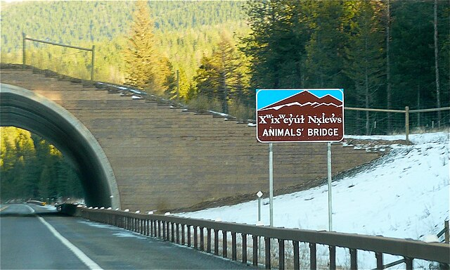
Along US‑93, a partnership with the Confederated Salish and Kootenai Tribes reframed a highway as a living corridor. Multiple structures – including an iconic overpass near Evaro – guide ungulates, predators, and even amphibians beneath and over traffic. Cultural respect and ecological design aligned: the road serves people while honoring the land’s original routes.
Monitoring shows steady adoption as vegetation fills in and animal memory resets to safer habits. Stream passages and culverts complement the big structures, letting fish and small wildlife move in concert with larger species. The result is grounded and durable, a corridor that works across seasons and generations.
Alligator Alley, Florida: Panther Pathways in the Everglades
Florida panthers navigate a labyrinth of canals, levees, and roads in the sprawling Everglades system. Underpasses along I‑75, paired with fencing, re-opened strands of habitat at ground level, turning drainage channels and embankments into guides instead of traps. These structures welcome black bears, bobcats, and deer as well, multiplying the conservation return.
Water management and wildlife management intertwine here; safe crossings reduce collisions while supporting broader restoration goals. Each successful passage safeguards not just a rare cat, but the food webs and marsh edges it relies on. In a flat, watery world, a shaded concrete vault can be the difference between isolation and connection.
I‑80, Pequop Range, Nevada: Mule Deer Over the Divide
In Nevada’s high desert, mule deer migrations hit hard barriers where steep terrain spills into interstate. Overpasses across the Pequop Range now arc above lanes like quiet mesas, guiding animals with fencing that funnels movement toward the safest route. The designs are wide, gently sloped, and planted – inviting rather than imposing.
As herds relearn seasonal passages, ecologists track rebounds in connectivity across winter and summer ranges. Fewer roadside carcasses, steadier migration timing, and cleaner data all point the same direction. When terrain and traffic collide, these bridges let the landscape win without slowing the economy.
SR‑260, Mogollon Rim, Arizona: Elk on the Move
High country forests along Arizona’s Mogollon Rim are home to heavy-bodied elk that don’t mix well with fast traffic. A suite of underpasses and fencing on SR‑260 channels movement away from curves and grades where visibility drops. The approach relies on predictability – animals learn the safe path, and motorists stop being surprised.
As usage builds, ecologists note improvements in habitat access on both sides of the highway, especially during seasonal shifts. The corridor functions like a hinge between summer cool and winter shelter, swinging open when animals need it most. By designing for elk, managers also help pronghorn, black bear, and countless smaller species slip through safely.
Why It Matters: Biodiversity Wins When Roads Breathe
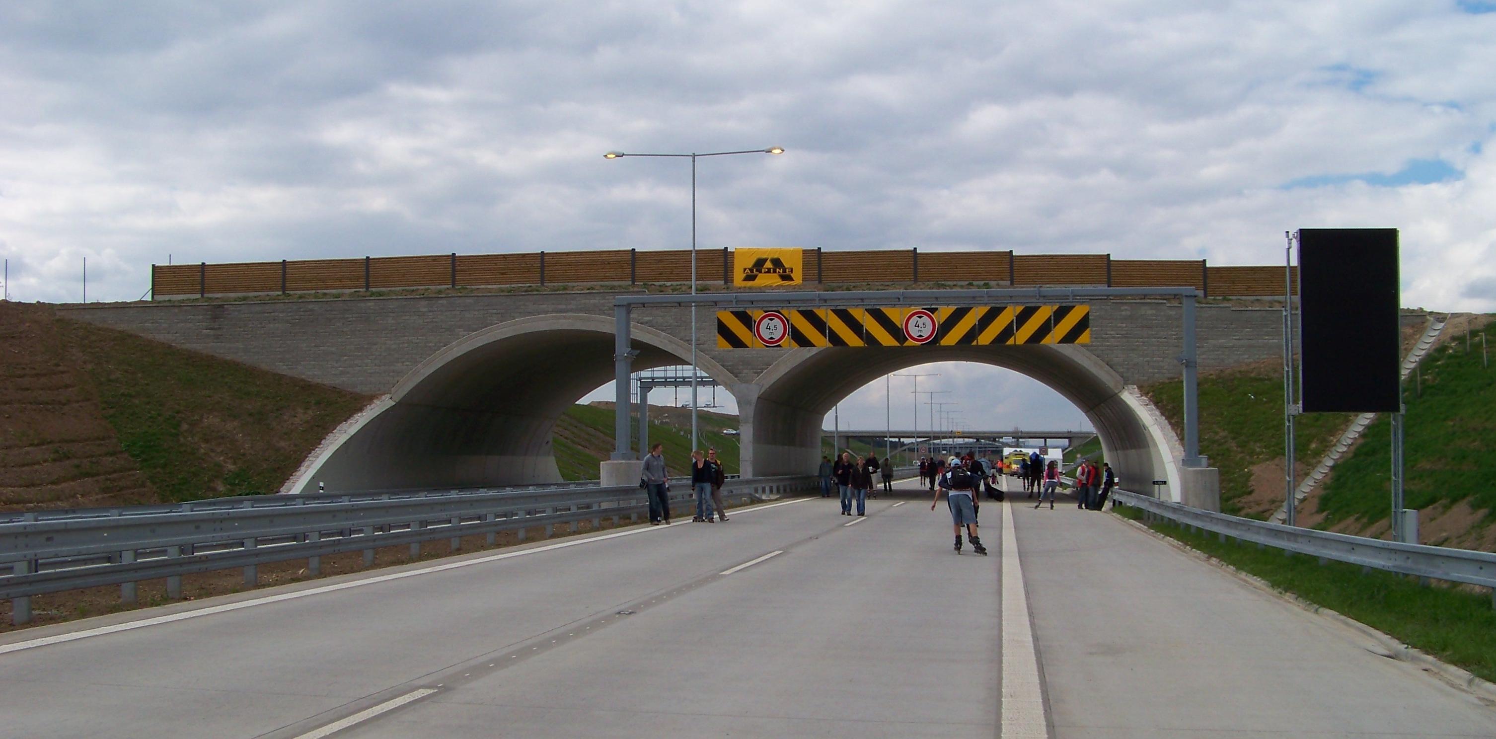
Wildlife crossings turn hard edges into permeable seams, and that shift echoes across entire ecosystems. Traditional road mitigation relied on signage and lower speeds, tools that rarely matched the scale of animal behavior. By contrast, modern overpasses and underpasses meet species where they move, translating migration maps into infrastructure.
The benefits stack quickly: safer roads for people, restored gene flow for wildlife, and resilient populations under climate stress. Corridors also future‑proof landscapes by letting animals adjust routes as precipitation and plant communities shift. In short, permeability is not a luxury add‑on; it is the operating system of living landscapes.
The Future Landscape: Sensors, Climate‑Smart Design, and Working Lands
Next‑generation corridors are pairing GPS collars, acoustic monitoring, and camera networks to learn in real time. Designers are tweaking soil depth, plant palettes, and sound barriers to fit wary species and hotter, drier conditions. In some places, bridges double as wildfire breaks or pollinator strips, stacking benefits onto a single footprint.
Ranchlands and tribal territories are central to this future, with easements and co‑management keeping private and working lands connected. The biggest challenge isn’t engineering – it’s weaving funding, policy, and public support into durable commitments. As data gets smarter, the map of where to build keeps sharpening, and the political will to act has a clearer target.
Conclusion: Small Steps That Keep Migrations Moving
Big bridges make headlines, but everyday choices keep them working. Support local bond measures or state programs that fund crossings and fencing, and speak up when transportation plans mention connectivity. Drive alert in known migration seasons, report wildlife collisions so data stay accurate, and volunteer with groups monitoring trail cameras.
If you steward land – whether a backyard or a pasture – reduce fence hazards, keep corridors open to creeks and draws, and plant native cover that links green spaces. Most importantly, stay curious: follow the science, celebrate the wins, and ask for more where gaps remain. If roads can learn to breathe, can’t our planning learn to listen too?

Suhail Ahmed is a passionate digital professional and nature enthusiast with over 8 years of experience in content strategy, SEO, web development, and digital operations. Alongside his freelance journey, Suhail actively contributes to nature and wildlife platforms like Discover Wildlife, where he channels his curiosity for the planet into engaging, educational storytelling.
With a strong background in managing digital ecosystems — from ecommerce stores and WordPress websites to social media and automation — Suhail merges technical precision with creative insight. His content reflects a rare balance: SEO-friendly yet deeply human, data-informed yet emotionally resonant.
Driven by a love for discovery and storytelling, Suhail believes in using digital platforms to amplify causes that matter — especially those protecting Earth’s biodiversity and inspiring sustainable living. Whether he’s managing online projects or crafting wildlife content, his goal remains the same: to inform, inspire, and leave a positive digital footprint.