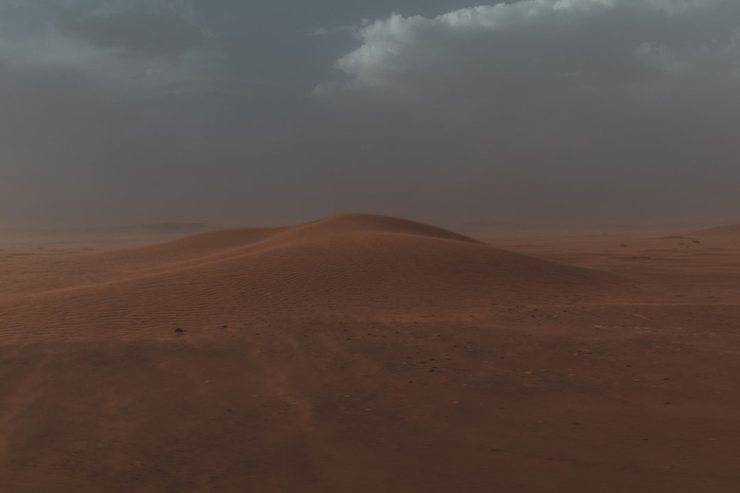
Every so often, a place that seems allergic to rain suddenly drowns in it. Think of the Atacama’s bone-dry valleys turning into brown rivers overnight, or salt flats swallowing themselves under sheets of muddy water. Scientists chase these rare storms not because they are frequent, but because they hold keys to past climates and future risks. The mystery is simple to state and hard to solve: why do some of the driest deserts on Earth go years without a cloud, then unleash catastrophic floods in a single, stunning burst? What flips the switch is a story that stretches from deep ocean currents to tiny dust grains, with consequences that travel far beyond the sand.
The Hidden Clues
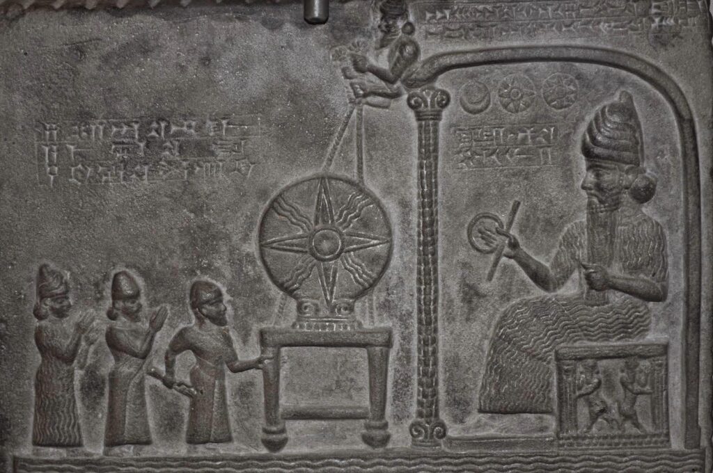
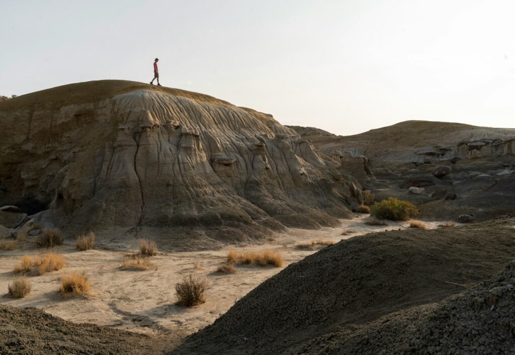
Here’s the shocker: the driest landscapes can be the best archivists of water. In the Atacama, pale shorelines etched on hillsides, abandoned channels stitched across alluvial fans, and layers of salt and nitrate quietly log centuries of almost-nothing punctuated by everything. I once stepped onto a small desert pavement and felt it give slightly underfoot, a reminder that beneath the varnished stones lay silt laid down by a long-gone torrent. These are not just pretty patterns; they are forensic traces, telling investigators how often water once had the upper hand. In a place where a single downpour can leave a mark for generations, the ground itself is a patient witness.
Biology leaves clues too. Seed banks lie dormant like tiny safes, opening only when rains arrive, triggering explosive blooms that paint valleys purple and gold. Microbial communities seal themselves into crusts, then reawaken to process nutrients the moment moisture returns. Even the chemistry of desert soils shifts, recording pulses of wetness in subtle mineral changes. When you add it up, the desert is not empty; it is poised.
From Ancient Tools to Modern Science
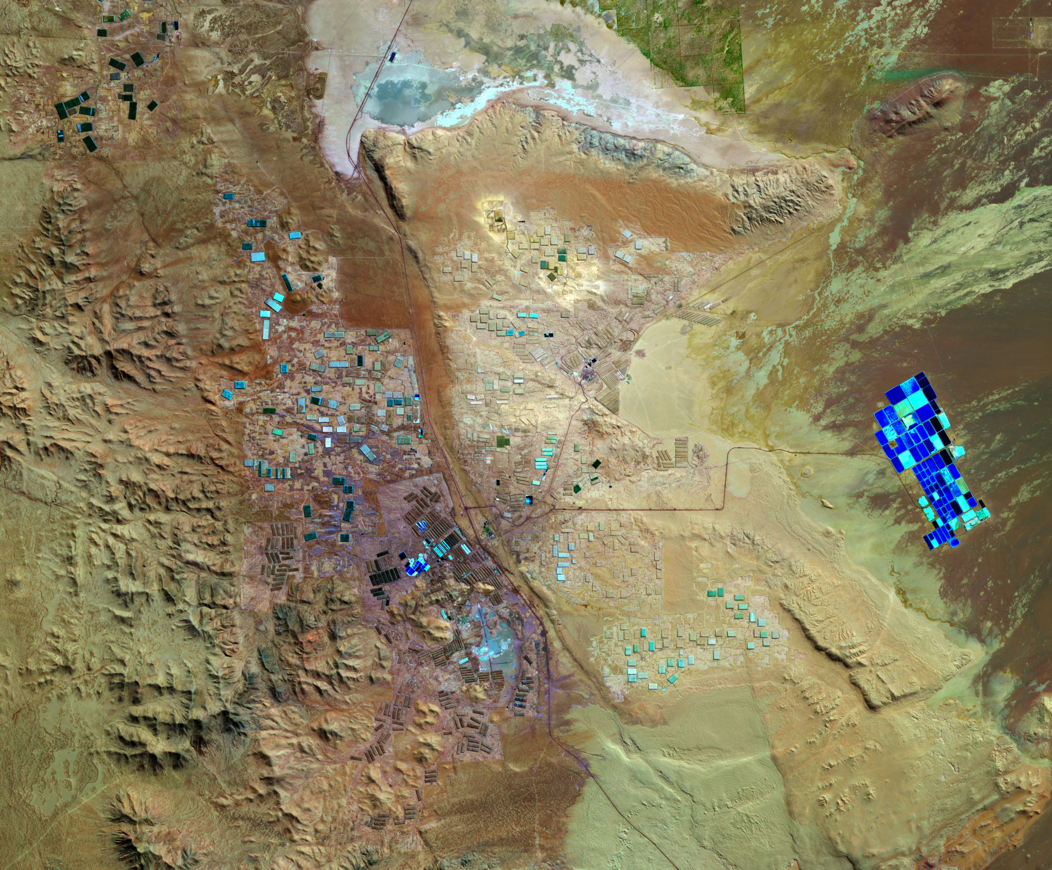
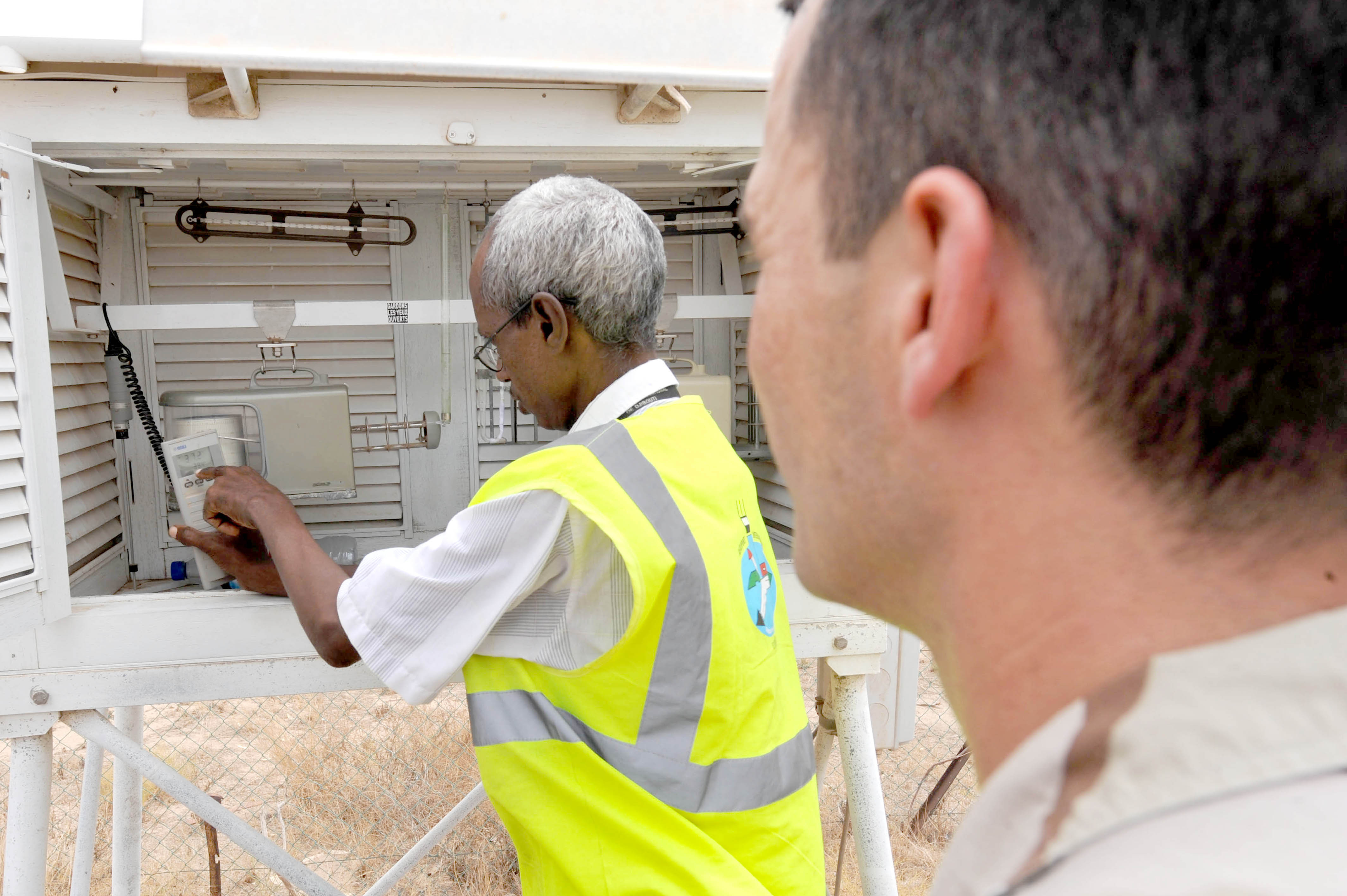
Early explorers guessed at the past by reading rocks, but today’s teams carry portable labs. Ground-penetrating radar maps buried channels, while cosmogenic isotopes time-stamp boulders moved by ancient floods. Optically stimulated luminescence dates the last sunlight grains of sand saw before water swept them into place, turning dunes and fans into timelines. High-resolution satellite imagery and drones stitch the puzzle together, revealing gullies so fresh they appear like new scars.
Weather reconstructions add the atmosphere’s handwriting. Reanalysis datasets pull threads from scattered observations to recreate winds and moisture transport, while machine learning highlights patterns that human eyes might miss. Together, these tools replace the old guesswork with testable narratives. The result is a sharper picture of rare deluges that likely recur on long, irregular clocks, sometimes approaching scales of 10-25 years in the most hyperarid cores.
The Triggers We Don’t See Coming
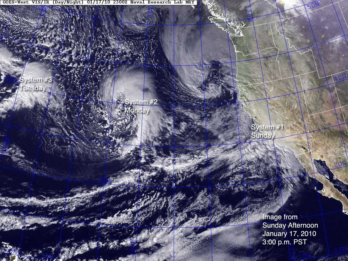
Most of the drama begins far out at sea. When the tropical Pacific warms during El Niño, it can redirect storm tracks and shift the subtropical jet, nudging moisture toward places that almost never feel it. Off the west coast of South America, unusually warm coastal waters supercharge evaporation, loading the air like a sponge about to be squeezed. Then a cutoff low or a wandering atmospheric river provides the squeeze, parking over the desert just long enough to turn dust into torrents.
In the highlands, the so-called altiplano summer pattern can feed storms that spill downslope, adding another route to rare flooding. None of this runs like a metronome; overlapping climate cycles and topographic quirks make exact timing infuriating. That uncertainty is why researchers pore over each event as if it were a once-in-a-lifetime case study. When the atmosphere stacks these factors just right, the desert’s long silence ends abruptly.
When the Sky Finally Opens
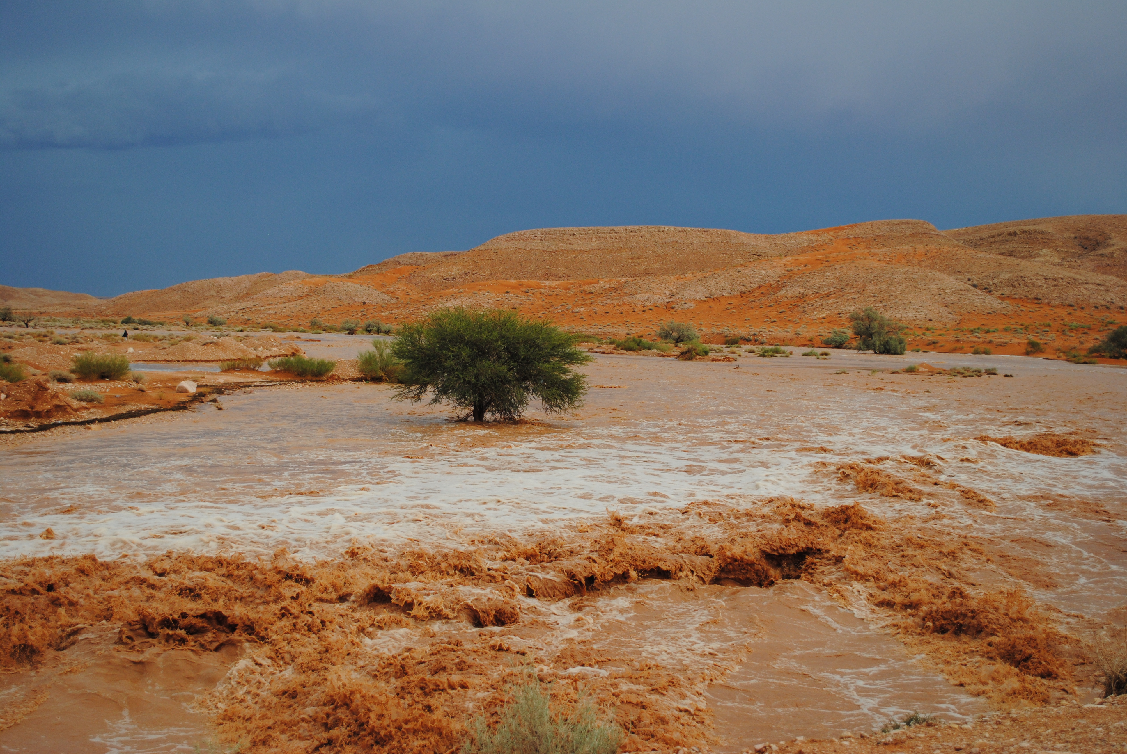
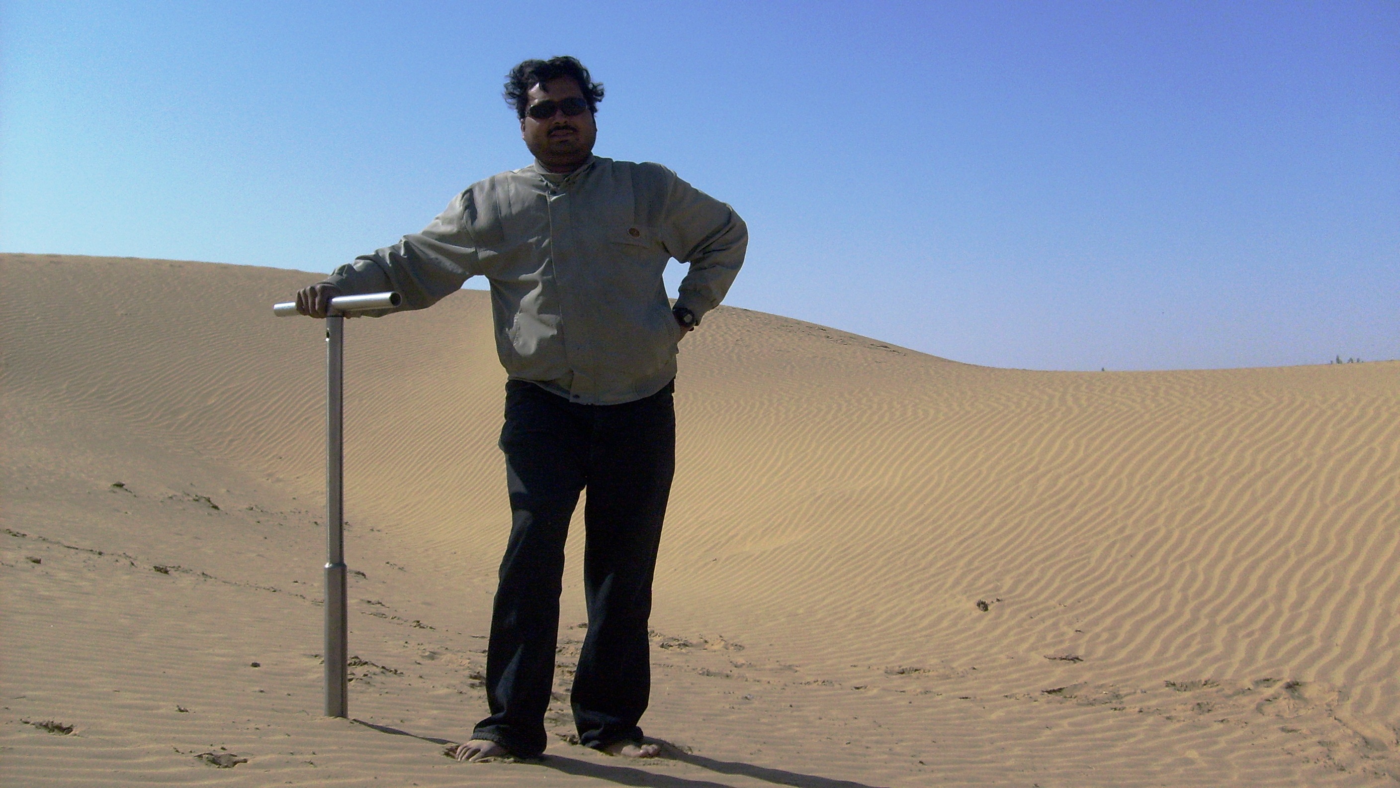
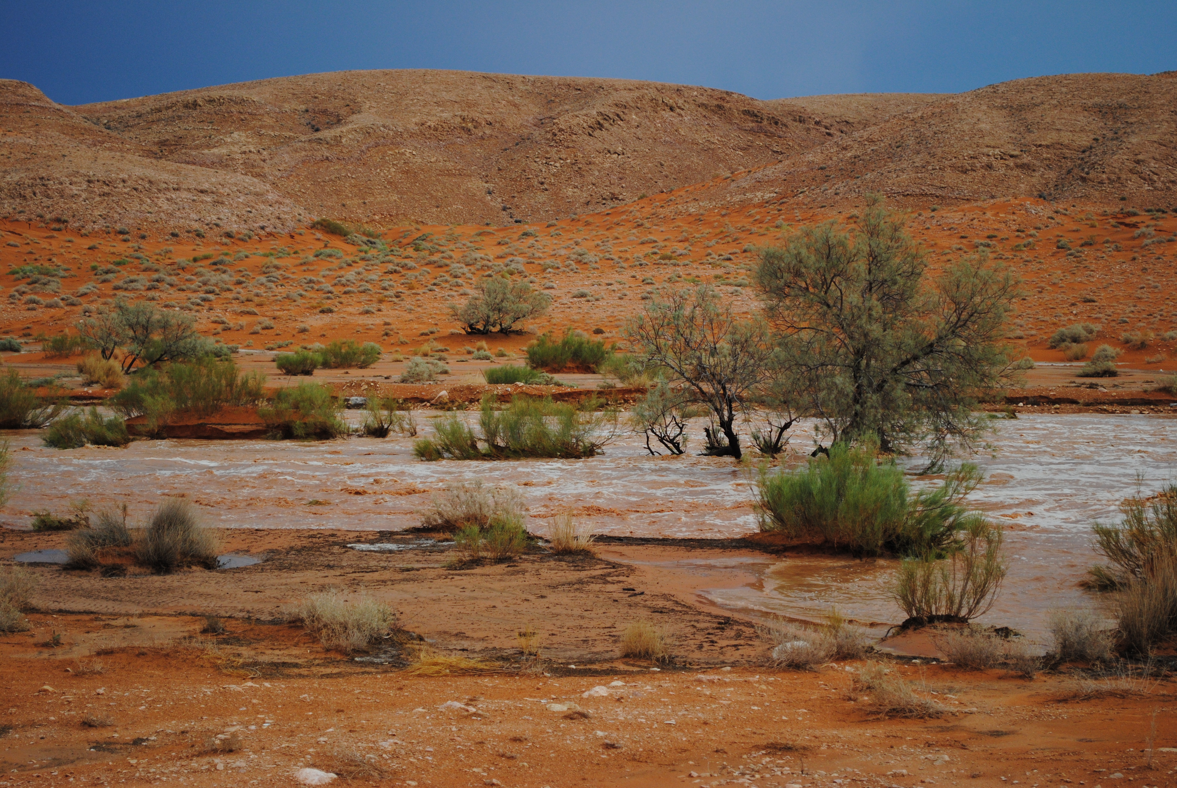
Floods in hyperarid terrain behave differently because the ground is a reluctant host. Sun-hardened clays repel water, slopes deliver speed, and bare channels lack vegetation to slow the surge, so sheets of runoff concentrate into fast, debris-laden flows. In the Atacama, villages built beside dry quebradas can see water rise from ankle deep to waist high in minutes, carrying boulders and broken infrastructure in a gritty slurry. Mining corridors and rail lines, lifelines for local economies, are especially exposed where they cross alluvial fans shaped by older, forgotten floods.
After the deluge, the landscape resets. Fans extend, channels reroute, and temporary lakes trap fine sediments that settle like pages in a book. On the surface, damage looks random, but to a geomorphologist it reads like cause and effect. Each rare event redraws the hazard map, often in the exact places people considered safest because nothing had happened there for decades.
Life Waiting in the Dust
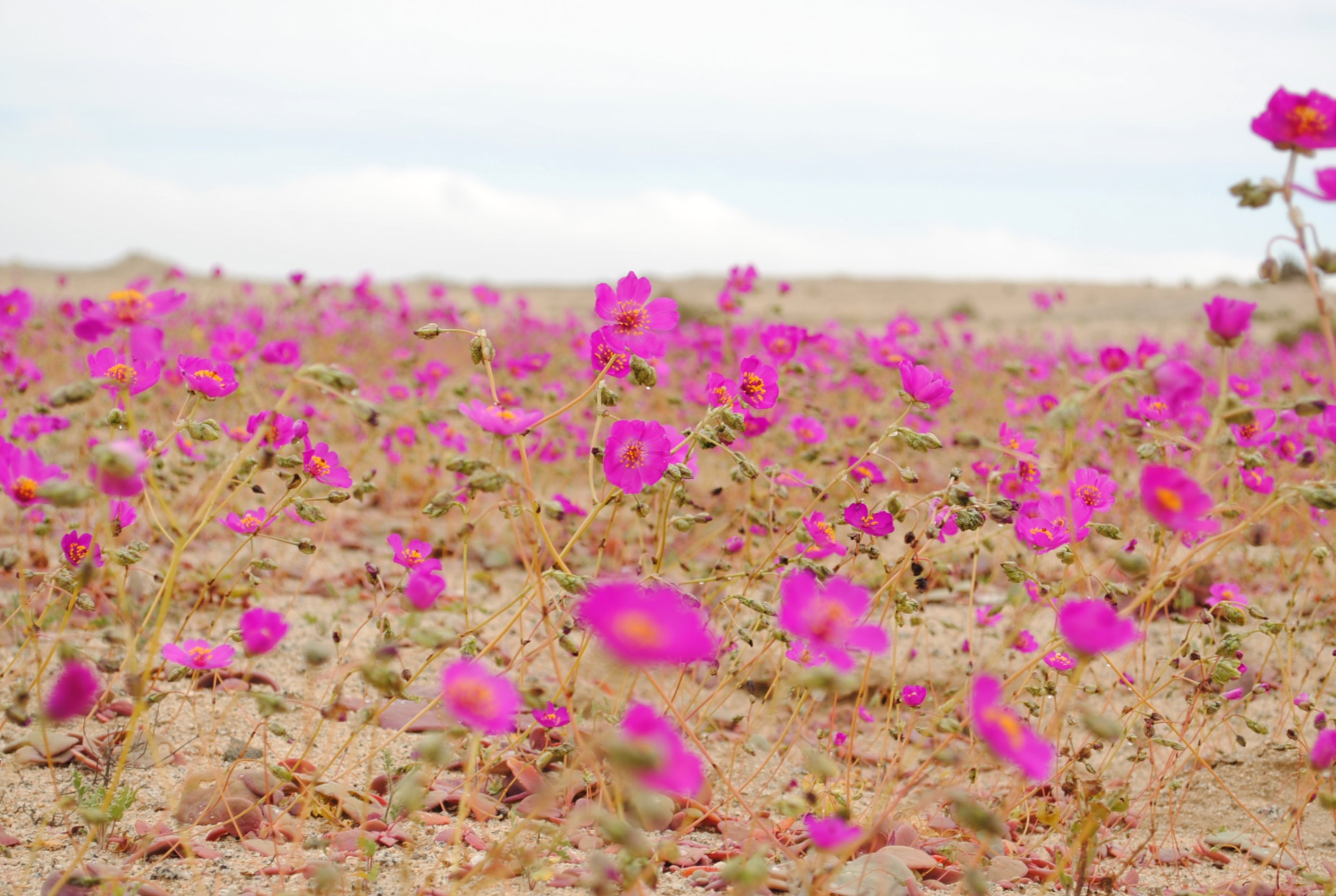
Deserts specialize in patience. Seeds of annuals can linger for years, then germinate en masse, creating the famous wildflower displays that follow unusual rains in northern Chile. In the microbial world, cyanobacteria and other extremophiles revive within hours, altering soil chemistry and briefly driving productivity that rivals temperate grasslands on a per-day basis. For wildlife and pastoralists, that pulse can offer short-term bounty and longer-term challenges as ephemeral grasses dry and vanish.
Paradoxically, sudden water can also be a stressor. Some salt-loving microbial communities suffer when brines are diluted, and crusts that took decades to form can fragment under trampling and runoff. The same storm that unleashes a bloom can destabilize slopes or expose cultural sites to erosion. It’s a reminder that life in these places is finely tuned to scarcity, not abundance.
Why It Matters
Rare floods are not just curiosities; they are stress tests for communities, infrastructure, and science itself. Conventional risk planning leans on recent memory, which in deserts is often a terrible guide because most living residents have never seen the worst the basin can deliver. A bridge designed for the last minor event can fail under a major surge that occurs , and a tailings pond engineered for average conditions can be overtopped by a brief, concentrated storm. Water managers face a similar trap when they count on ephemeral lakes to recharge aquifers that mostly depend on mountain snow and fog.
There is also a broader climate signal to parse. As oceans warm and atmospheric rivers intensify, the odds of rare alignments may shift, even if total rainfall stays low. That makes deserts frontline laboratories for understanding extreme-event physics. Learning to predict these floods better helps everyone, from farmers and miners to emergency planners and ecotourism guides, and the lessons transfer to semi-arid regions worldwide.
The Future Landscape
Forecasting is moving from weather to weeks-ahead guidance, the sweet spot known as sub-seasonal to seasonal. Blending dynamical models with machine learning trained on decades of reanalysis is improving how forecasters recognize the precursors of cutoff lows and moisture plumes. Small satellites and commercial radar constellations now watch narrow valleys daily, while low-cost pressure and rain sensors seeded in communities fill gaps left by distant stations. When a suspicious pattern emerges over the Pacific, alerting systems can escalate from quiet monitoring to targeted field campaigns.
But technology is not a cure-all. Models still struggle with topography at the scales that matter for a single village, and deep uncertainty persists around how overlapping climate oscillations will evolve. Responsible mining and infrastructure design must assume outlier floods will arrive faster than the historic record suggests. The safest future is one where forecasts, land-use planning, and community memory work together rather than alone.
What You Can Do
Start by staying weather-literate in a desert context. If you live in or visit arid regions, pay attention to seasonal outlooks and local hazard maps, and learn which dry channels feed your road, camp, or town. Support community networks that maintain rain gauges and share observations; a single well-placed report can sharpen a warning dozens of miles away. If you hike or drive after storms, respect closures, avoid fragile crusts, and keep clear of gullies that can flash long after skies clear.
Consider backing projects that blend conservation with science, from restoration in flood-prone washes to student-led monitoring of blooms following rare rains. Encourage local officials and companies to design for extremes, not averages, and to revisit plans after each event rewrites the landscape. Most of all, keep the story alive; deserts remember through their landforms, but communities remember through people. When the next rare but recurring storm darkens the horizon, that memory can save lives – would you be ready to read the sky?

Suhail Ahmed is a passionate digital professional and nature enthusiast with over 8 years of experience in content strategy, SEO, web development, and digital operations. Alongside his freelance journey, Suhail actively contributes to nature and wildlife platforms like Discover Wildlife, where he channels his curiosity for the planet into engaging, educational storytelling.
With a strong background in managing digital ecosystems — from ecommerce stores and WordPress websites to social media and automation — Suhail merges technical precision with creative insight. His content reflects a rare balance: SEO-friendly yet deeply human, data-informed yet emotionally resonant.
Driven by a love for discovery and storytelling, Suhail believes in using digital platforms to amplify causes that matter — especially those protecting Earth’s biodiversity and inspiring sustainable living. Whether he’s managing online projects or crafting wildlife content, his goal remains the same: to inform, inspire, and leave a positive digital footprint.