
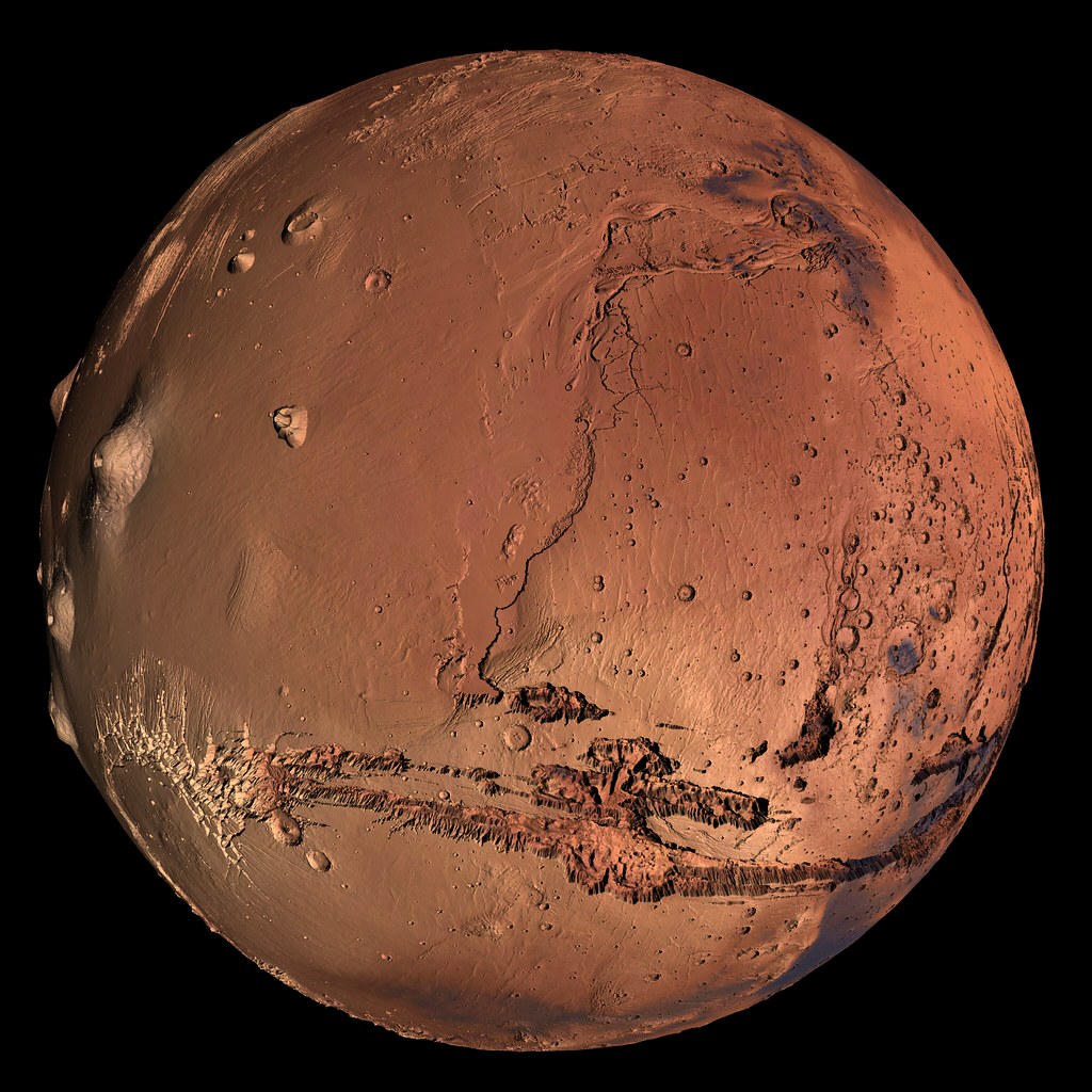
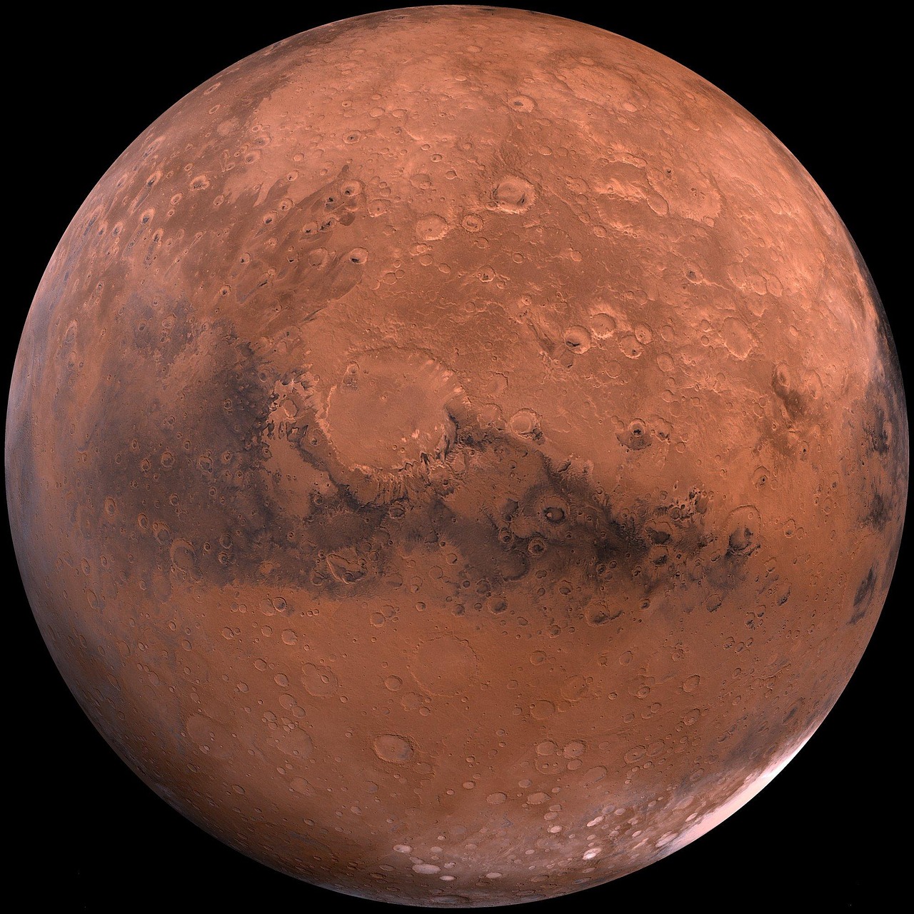
You’ve probably seen Mars in photographs as a dusty, rust-colored world that looks utterly lifeless. Yet beneath that barren facade lies one of the most compelling mysteries in planetary science. Recent satellite imaging has revealed an intricate web of ancient river systems that once flowed across the Red Planet’s surface, painting a radically different picture of Mars’ watery past.
These discoveries aren’t just academic curiosities. They’re fundamentally changing how we understand Mars and its potential to have supported life. From towering ridges that mark ancient riverbeds to underground reservoirs that may still exist today, the story unfolding beneath our robotic explorers is nothing short of extraordinary.
The Satellite Eyes Revealing Mars’ Secrets
You’re looking at images captured by NASA’s High Resolution Imaging Science Experiment (HiRISE) on the Mars Reconnaissance Orbiter spacecraft, along with data from the European Space Agency’s Mars Express. These orbital sentinels have revolutionized our understanding of Martian geology with unprecedented detail.
The advent of very high-resolution images from HiRISE, THEMIS and Context (CTX) satellite cameras as well as the Mars Orbital Laser Altimeter (MOLA) digital terrain models have drastically improved our understanding of the networks in the last decade. Think of it like having a magnifying glass that can peer across millions of miles to examine surface features smaller than a football field. A 200-metre-thick stack of layered rocks are visible within cliff walls, shown in enough detail that scientists could be sure they are sedimentary rocks, formed by running water.
Valley Networks: The Fingerprints of Ancient Streams
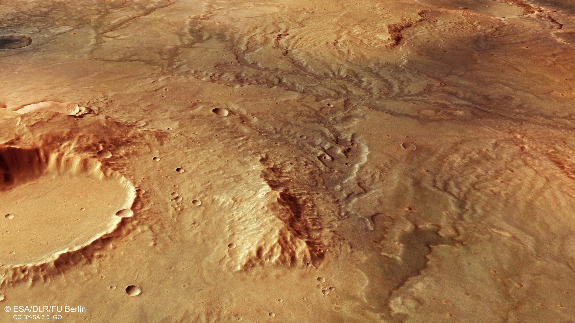
Satellite images from ESA’s Mars Express show a branching, desiccated system of trenches and valleys, signs of ancient water flow that hint at a warmer, wetter past for the Red Planet. These aren’t random cracks in the surface, they’re organized patterns that tell a story.
The valley system appears to branch out significantly, forming a pattern a little like tree branches stemming from a central trunk. This kind of morphology is known as ‘dendritic’ – derived from the Greek word for tree (dendron). Various channels split off from the central valley, forming little tributaries that often split again on their journey outwards. These branching channels were likely formed by surface water runoff from a once-strong river flow, combined with extensive rainfall.
Inverted Channels: When Riverbeds Become Ridges
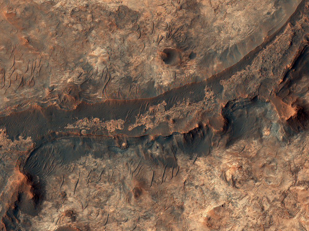
Here’s where Mars gets truly fascinating. When a river is flowing, the coarsest sediment settles at the bottom of the riverbed. Later, if the river dries up, the sediment is buried and becomes sandstone rock. Since this rock is harder than its surroundings, wind and rain will erode the surrounding material, leaving a standing ridge of rock. What was once a river valley is now “inverted” as a ridge.
Researchers looked at fluvial sinuous ridges, also known as inverted channels, across Noachis Terra – a region in Mars’ southern highlands. These are believed to have formed when sediment deposited by rivers hardened and was later exposed as the surrounding material eroded. It’s like nature’s own archaeological preservation system. The discovery of more than 17,000 kilometers of ancient riverbeds on Mars suggests that the Red Planet may once have been much wetter than previously thought.
The Noachis Terra Discovery: 9,000 Miles of Ancient Rivers
A sweeping orbital survey charted over 10,563 miles (17,000 kilometers) of riverbeds winding etched into Noachis Terra, a broad plateau in the planet’s southern highlands. To put that in perspective, that’s comparable to the length of the Amazon River system on Earth.
Studying Mars, particularly an underexplored region like Noachis Terra, is really exciting because it’s an environment which has been largely unchanged for billions of years. It’s a time capsule that records fundamental geological processes in a way that just isn’t possible here on Earth. The fact that the ridges form extensive interconnected systems suggests that the watery conditions must have been relatively long-lived, meaning Noachis Terra experienced warm and wet conditions for a geologically relevant period. These findings challenge existing theories that Mars was generally cold and dry.
Evidence from Hellas Crater and Beyond
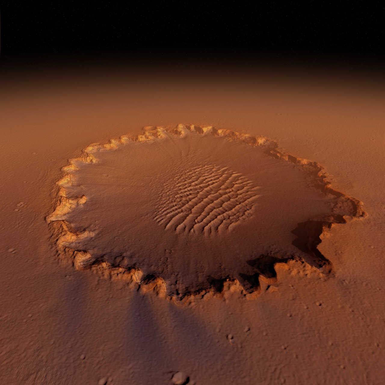
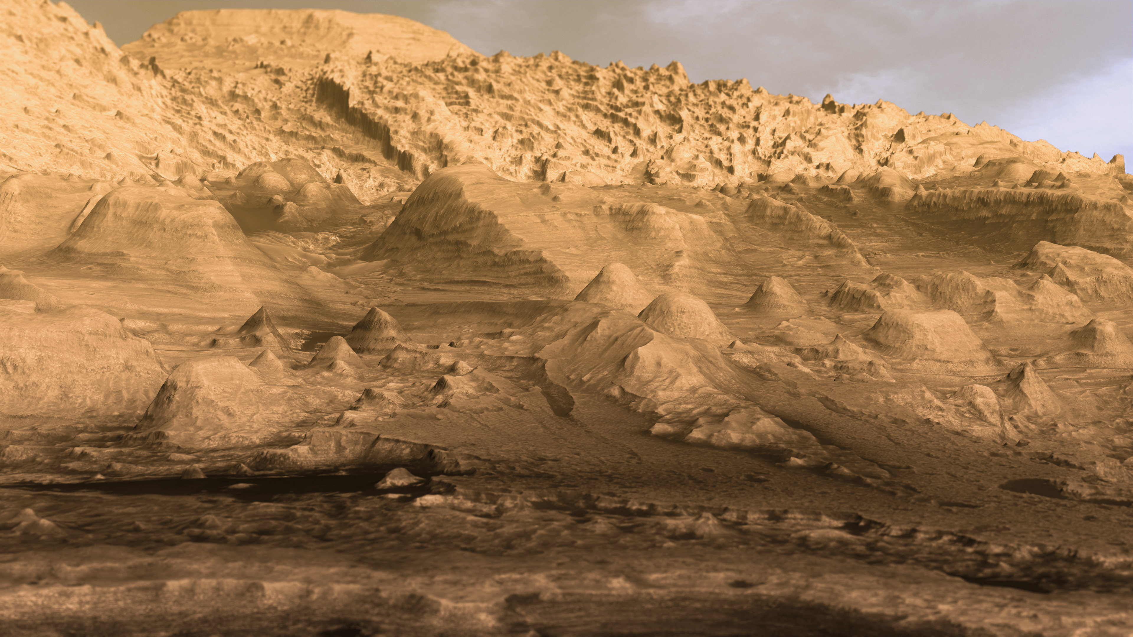
The images were taken inside the enormous Hellas impact crater in the southern Martian hemisphere, one of the largest impact craters in the solar system. This massive crater, stretching over 2,000 kilometers across, has become a treasure trove of geological evidence.
At 3.5 to four billion years old, the southern highlands are some of the oldest and most heavily cratered parts of Mars, with many signs of ancient water flow observed here. The topography of this region suggests that water flowed downhill from the north to the south, carving out valleys up to two kilometres across and 200 metres deep as it did so. The scale is breathtaking when you consider these features have been preserved for billions of years.
Jezero Crater: A Window into Martian Hydrology
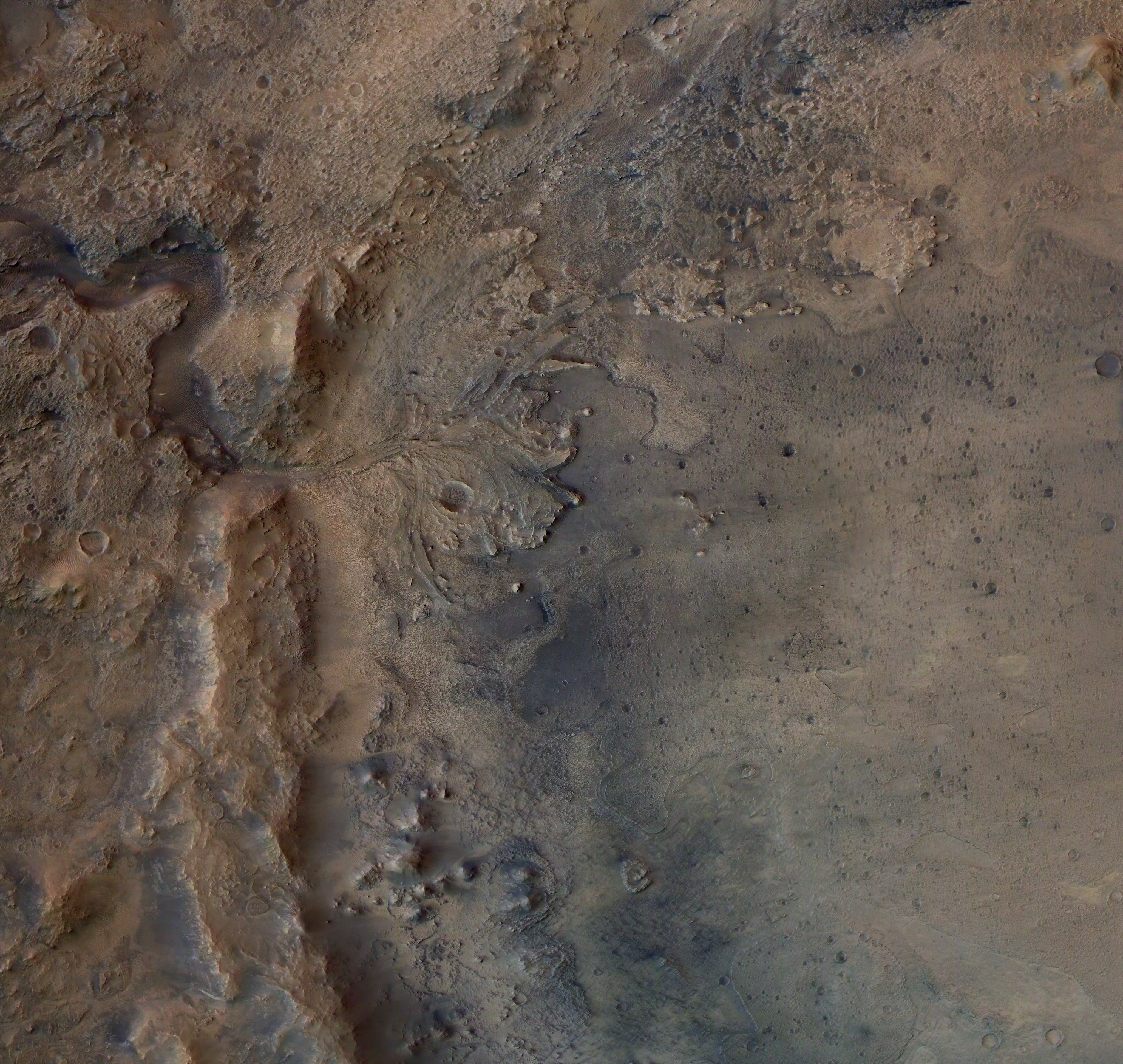
New images taken by NASA’s Perseverance rover may show signs of what was once a rollicking river on Mars, one that was deeper and faster-moving than scientists have ever seen evidence for in the past. The river was part of a network of waterways that flowed into Jezero Crater.
Perseverance is exploring the top of a fan-shaped pile of sedimentary rock that stands 820 feet (250 meters) tall and features curving layers suggestive of flowing water. These layers are anomalously tall for rivers on Earth, but at the same time, the most common way to create these kinds of landforms would be a river. The evidence is becoming undeniable that Mars once hosted powerful, sustained river systems.
Underground Water Reservoirs Today
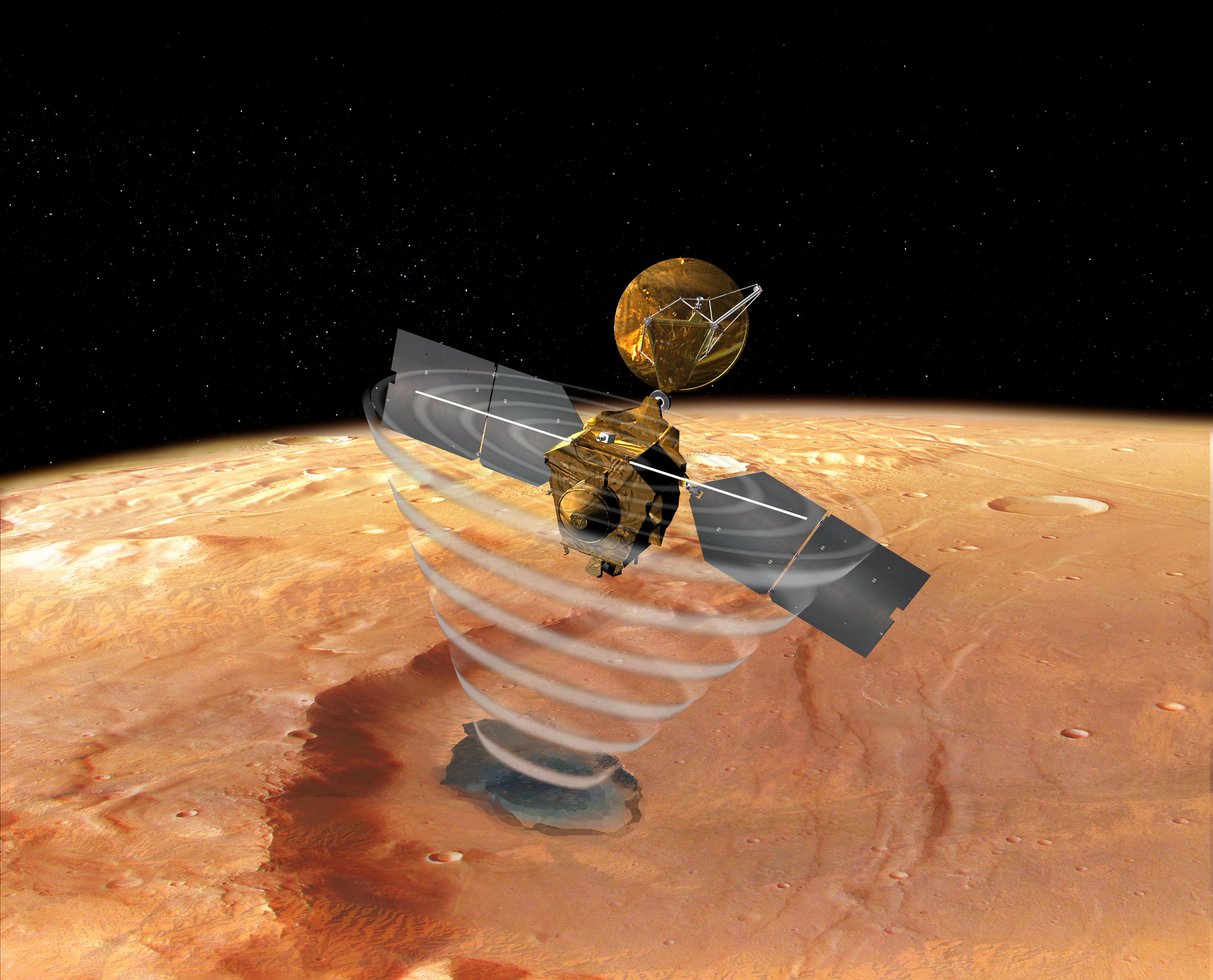
Perhaps most intriguingly, water may still exist on Mars today, just hidden far below the surface. According to a paper published in August 2024 in the journal Proceedings of the National Academy of Sciences, recordings of seismic waves from deep within the Red Planet indicate that a layer of liquid water may be in the Martian rocks in the mid-crust of Mars.
Data from NASA’s Insight lander allowed scientists to estimate that the amount of groundwater could cover the entire planet to a depth of between 1 and 2 kilometers, or about a mile. It’s located in tiny cracks and pores in rock in the middle of the Martian crust, between 11.5 and 20 kilometers below the surface. Establishing that there is a big reservoir of liquid water provides some window into what the climate was like or could be like. And water is necessary for life as we know it. I don’t see why [the underground reservoir] is not a habitable environment.
Implications for Ancient Martian Life

Billions of years ago, Mars was warmer and could have had enough liquid water to support life. In fact, experts think Mars is one of the most likely places we will find evidence of extraterrestrial life. The extensive river networks provide compelling evidence for sustained habitable conditions.
Scientists also spotted signs of minerals within five of the craters that are linked to the emergence of life on Earth: various clays, carbonates, and silicates. These new results demonstrate that liquid water does exist in the Martian subsurface today, not in the form of discrete and isolated lakes, but as liquid water-saturated sediments, or aquifers. On Earth, the subsurface biosphere is truly vast, containing most of the prokaryotic diversity and biomass on our planet.
Conclusion: Rewriting Mars’ Story
The ancient river networks represent one of the most significant discoveries in planetary science. These findings completely reshape our understanding of the Red Planet’s past, revealing a world that was once warm, wet, and potentially habitable for extended periods. Our work is a new piece of evidence that suggests that Mars was once a much more complex and active planet than it is now.
From satellite images revealing thousands of kilometers of dried riverbeds to underground reservoirs that may still harbor liquid water today, Mars continues to surprise us. The evidence points to a planet that experienced sustained periods of flowing rivers, rainfall, and complex hydrological cycles spanning millions of years. These discoveries don’t just satisfy scientific curiosity – they fundamentally change how we view Mars as a potential haven for ancient life and future human exploration.
What surprises you most about Mars’ watery past? Tell us what you think in the comments.

Hi, I’m Andrew, and I come from India. Experienced content specialist with a passion for writing. My forte includes health and wellness, Travel, Animals, and Nature. A nature nomad, I am obsessed with mountains and love high-altitude trekking. I have been on several Himalayan treks in India including the Everest Base Camp in Nepal, a profound experience.