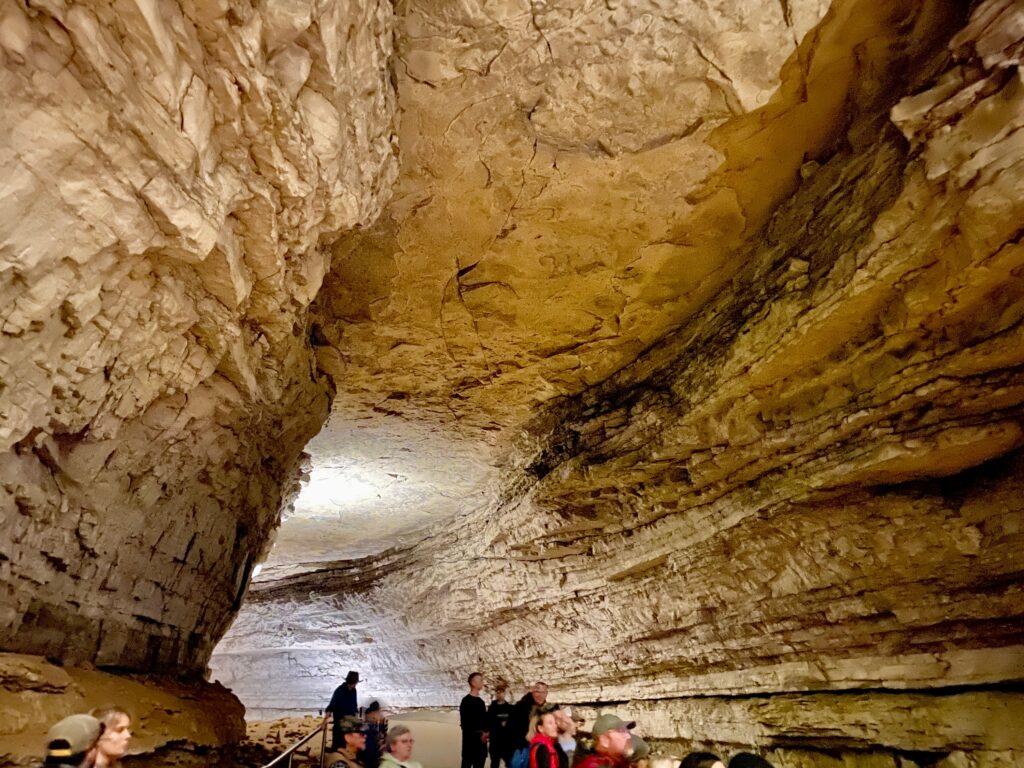
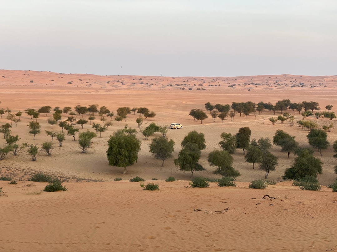
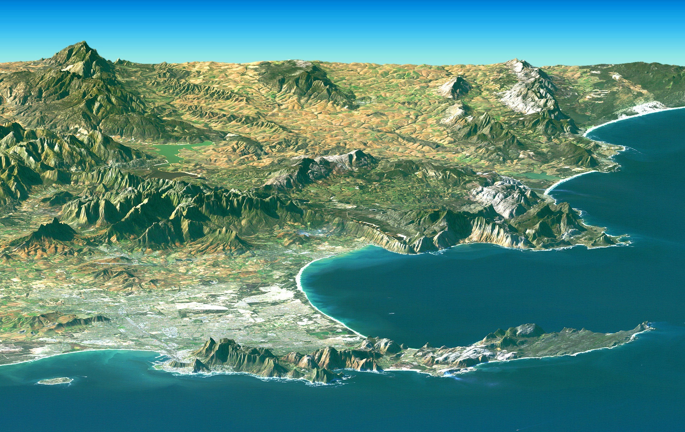
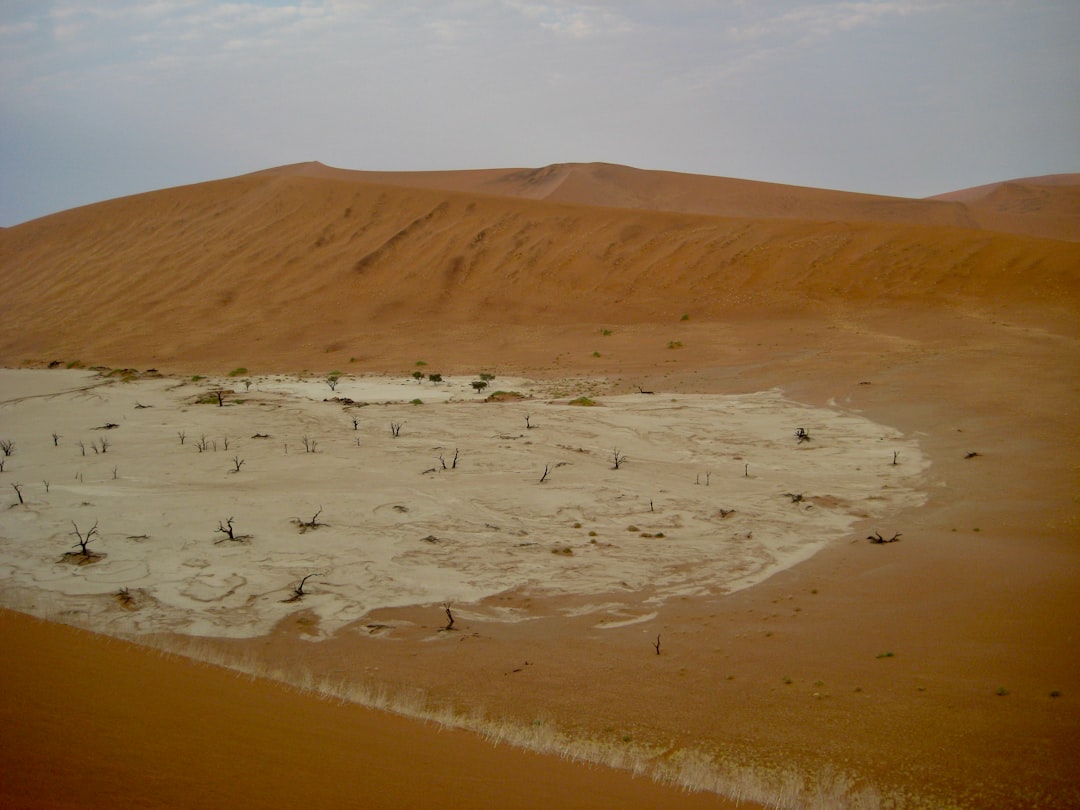
Picture yourself standing on the endless sand dunes of the world’s largest hot desert. The sun beats down mercilessly, the landscape appears lifeless, and water seems like nothing more than a distant dream. Yet beneath your feet lies one of Earth’s most extraordinary secrets. Scientists have uncovered a vast network of groundwater reservoirs hidden beneath the Sahara’s sands, containing trillions of gallons of freshwater formed millions of years ago when the region had a much wetter climate.
The Nubian Sandstone Aquifer System is the world’s largest known fossil water aquifer system, spanning just over two million square kilometers across four countries in northeastern Africa and containing an estimated 150,000 cubic kilometers of groundwater. This hidden ocean challenges everything you thought you knew about one of Earth’s most hostile environments. Let’s explore this remarkable discovery that’s rewriting the story of life beneath the desert.
The World’s Largest Hidden Water Reserve
You’re looking at something truly unprecedented in scale and scope. The Nubian Sandstone Aquifer System is the world’s largest known fossil water aquifer system, located underground in the eastern end of the Sahara desert and spanning the political boundaries of four countries in northeastern Africa, covering northwestern Sudan, northeastern Chad, southeastern Libya, and most of Egypt. To put this in perspective, the reserves are equivalent to about 500 years of Nile River discharge and are 20 times the size of the North American Great Lakes.
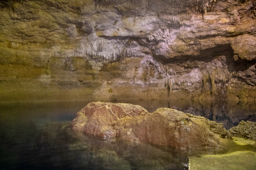
The largest of these aquifers provides a vital resource for agriculture and drinking water across Egypt, Sudan, and Libya. However, this isn’t just about one massive aquifer. Though the Sahara is one of the driest places on Earth today, beneath its sands lies a hidden water reservoir consisting of vast aquifers, or underground lakes, buried beneath the desert’s surface. Think of it as an underground ocean that rivals some of the world’s most famous water bodies.
Ancient Waters from a Green Sahara
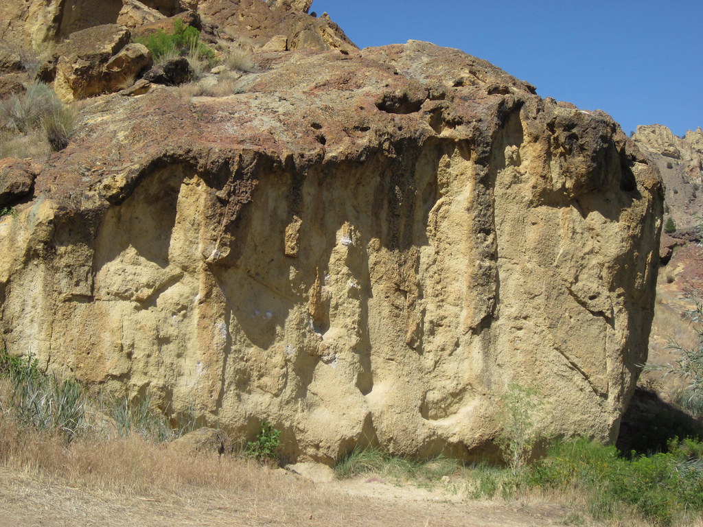
The story of this underground ocean begins millions of years ago, when the Sahara looked nothing like today’s barren landscape. The Sahara Desert was once a lush, green landscape dotted with lakes and ponds, with evidence of this past verdancy lying hidden beneath the sands of Egypt and Libya in the form of a huge aquifer of fresh groundwater. Roughly 11,000 to 5,000 years ago, during the African Humid Period, the Sahara Desert was likely far wetter and greener, with geologic and archaeological evidence indicating that vegetation, wetlands, and perhaps even large lakes covered areas that are now oceans of sand.
Geochemistry and isotope hydrology have shown that these ancient waters were fed by rainfall during periods of wetter climates in the Holocene and late Pleistocene than those of today. An international team of geologists and physicists has found that this groundwater has been flowing slowly northward at about the rate grass grows for the past million years. Isotopic characteristics of the water itself indicate that it was transported by air masses traveling long distances over North Africa from the Atlantic Ocean, reflecting climate conditions much different from the present during the past million years, before changing climate patterns turned this green oasis into today’s desert.
Breakthrough Detection Technologies
You might wonder how scientists can detect water buried so deep beneath one of the most inhospitable places on Earth. The answer lies in cutting-edge satellite technology and radar systems that can peer through sand and rock. Scientists estimated the variations in the volume of water lying under the northern Sahara desert using a method based on data obtained by satellite, analyzing data from NASA’s GRACE satellite mission to deduce aquifer recharge patterns.
The project seeks to put a satellite in Earth orbit to map the distribution of shallow aquifers beneath the desert’s surface in North Africa and the Arabian Peninsula, with scientists planning to use the satellite’s radar instrument to study how those aquifers originated and how groundwater moves beneath the deserts through a complex system of subsurface fractures. The instrument under consideration for the OASIS project, a 50 megahertz sounding radar, is expected to see through up to 1.8 miles of ice and nearly 330 feet of sand. This technology represents a revolutionary leap in our ability to map underground water resources across vast desert areas.
The OASIS Mission: Space-Based Water Detection
The future of underground water detection looks even more promising with NASA’s ambitious OASIS project. Researchers with the Orbiting Arid Subsurfaces and Ice Sheet Sounder study project are designing a satellite mission to probe the sand dunes of some of Earth’s driest places with radar technology similar to that used by NASA’s Mars Reconnaissance Orbiter. The scientific community is excited about this mission because OASIS would be the first spaceborne radar specifically designed to detect directly subsurface water on Earth.
The radar signal is sensitive to changes in the electrical properties beneath Earth’s surface caused by rocks, sediments, waterlogged soils, ice, and pools of water, with some of these substances absorbing more of the signal than others. The OASIS study project will expand the scope of initial efforts for a more global picture, providing an innovative tool that will bring key responses in the field and support decision-making processes in terms of water resources. This mission could revolutionize how we understand and manage water resources in the world’s most arid regions.
Evidence of Ancient Civilizations and Rivers
The underground water tells a fascinating story of human adaptation and survival. New research describes how a series of serendipitous environmental factors allowed an ancient Saharan civilization, the Garamantian Empire, to extract groundwater hidden in the subsurface, sustaining the society for nearly a millennium until the water was depleted. The Garamantes lived in the southwestern Libyan desert from around 500 BCE to 700 CE under nearly the same hyper-arid conditions that exist there today and were the first urbanized society to become established in a desert that lacked a continuously flowing river, with water stored underground in a large sandstone aquifer.
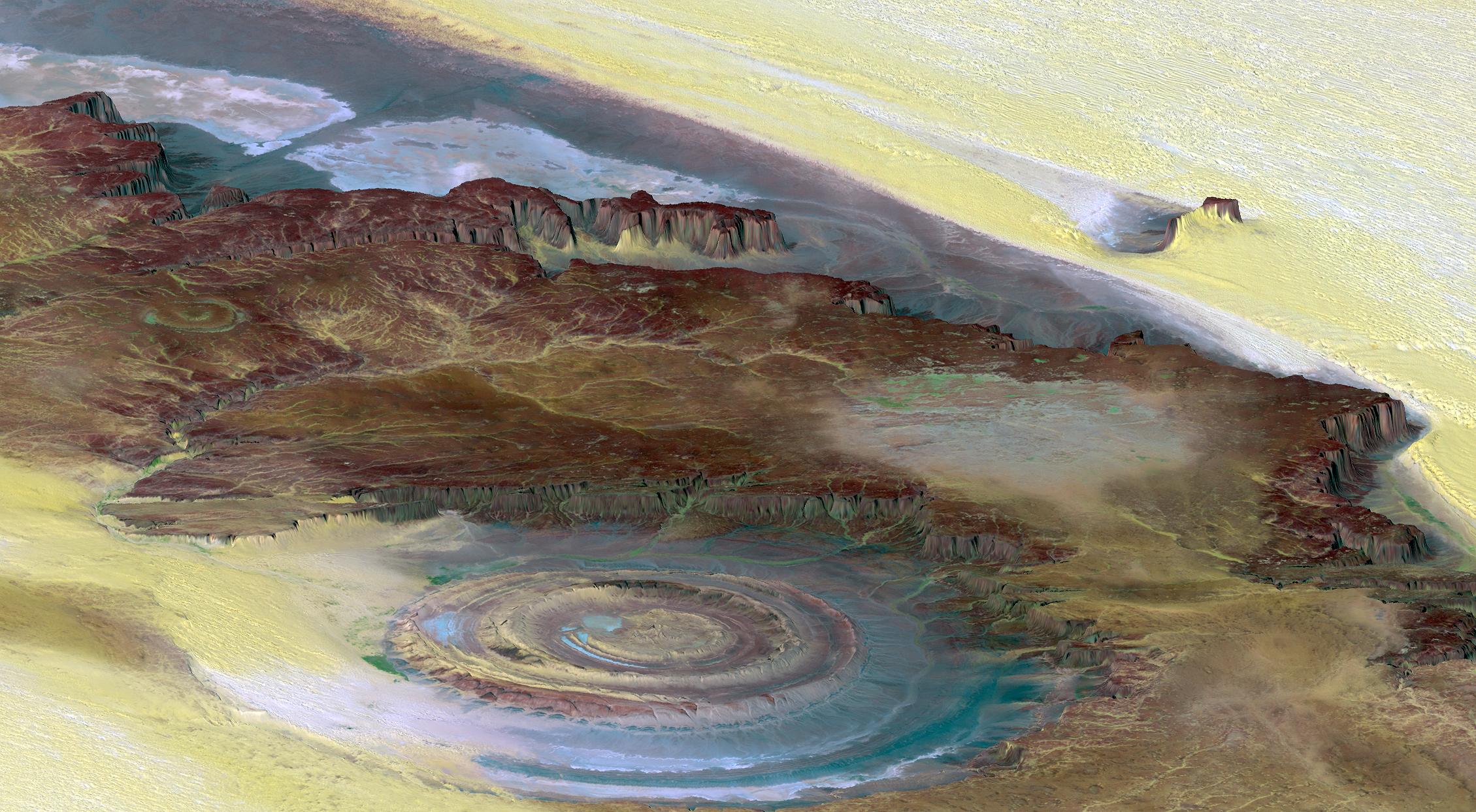
The Garamantes dug a total of 750 kilometers of underground tunnels and vertical access shafts to harvest groundwater, with the greatest construction activity occurring between 100 BCE and 100 CE. One of the most significant discoveries is the Tamanrasset River, believed to have flowed through the center of the Sahara connecting it to the Atlantic Ocean more than 5,000 years ago, with recent satellite imagery revealing this ancient river bed that once ran through Algeria to the Atlantic Ocean, larger than today’s Nile.
Modern Water Extraction and Management
Today’s approach to accessing this hidden ocean involves sophisticated engineering projects that dwarf ancient efforts. The Great Man-Made River project in Libya makes use of the system, extracting substantial amounts of water from this aquifer and removing an estimated 2.4 cubic kilometers of fresh water for consumption and agriculture per year. Since 2001, the Nubian Sandstone aquifer situated between the Toshka and Abu Simbel areas of Egypt has undergone intensive drilling and development as part of a land reclamation project, with drilling information used to conduct various studies regarding the hydrogeological setting.
Scientists estimated the current rate of recharge is on average 1.4 cubic kilometers per year for the period 2003-2010, and scientists have shown that groundwater in the northern Sahara aquifer system is still being fed today. However, the average recharge corresponds to 40% of the total withdrawn every year in the region, meaning the Northern Sahara Aquifer System remains overexploited despite significant recharge.
The Challenge of Sustainable Use
While the discovery of this underground ocean offers hope, it also presents significant challenges for sustainable management. While the quantity of useable groundwater is plentiful, it is also irreplaceable because the fossil reserves are not an active part of the surrounding hydrological cycle, meaning the water cannot be replenished. Wells and boreholes have multiplied and annual withdrawals have risen from 0.5 cubic kilometers in 1960 to 2.75 cubic kilometers in 2010, leading to a general drop in water levels, in some places reaching 25 to 50 meters, with numerous artesian wells and natural springs around which oases developed having already run out.
Scientists warn that unsustainable extraction could deplete this underground water supply within the next few centuries. Studies led to models estimating a total recharge volume and putting forward different exploitation scenarios to 2050, with all showing a significant impact of exploitation on the aquifer, representing up to eight times the renewable resources. The challenge lies in balancing immediate water needs with long-term conservation of this irreplaceable resource.
Advanced Mapping Technologies
The quest to better understand and map these hidden water resources continues with increasingly sophisticated tools. New techniques will map the top of the aquifer, called the water table, spanning areas as large as hundreds of kilometers using a radar mounted on a high-altitude aircraft, allowing water scientists to assess the sustainability of these aquifers without the limitations associated with in-situ mapping in harsh and inaccessible environments. Current shallow groundwater maps in several parts of arid deserts, such as the Sahara, rely on data from wells that are tens, hundreds, and sometimes even thousands of miles apart, which could lead to inaccurate estimates of their volume and dynamics, like finding out data about groundwater in the entire United States solely by looking at data from a well in New Jersey.
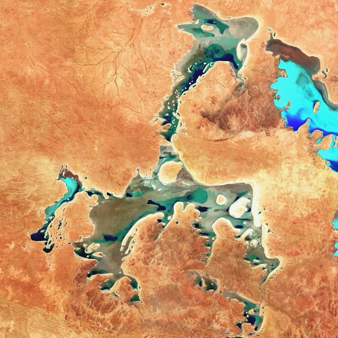
Over the last few decades, remote sensing has revealed buried river channels in a number of regions worldwide, with orbital radar satellite imagery mapping a major paleodrainage system in eastern Libya that could have linked the Kufrah Basin to the Mediterranean coast, revealing a 900-kilometer-long river system starting with three main tributaries.
Climate Change and Future Implications
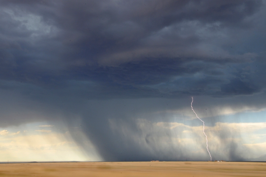
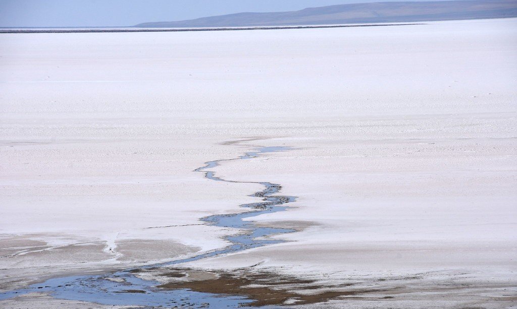
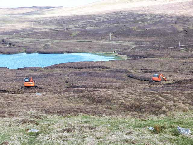
The relationship between these underground water reserves and climate change presents both opportunities and concerns for future water security. In September 2024, hints of a more watery past emerged after an extratropical cyclone dropped a deluge of rainfall on parts of northern Africa, with runoff from the storm partially filling several ephemeral desert lakes in normally dry areas. Of the hundreds of rainfall events that affected watersheds since 2000, only six delivered enough water to start filling ephemeral lakes, all involving long-lasting extratropical cyclones that produced especially heavy rainfall.
The findings emphasize that climate change will bring more frequent extreme climatic events and call for continuous monitoring of aquifers every year. The discovery of vast underground reservoirs of fresh water beneath the Sahara offers hope that modern technology could make the desert fertile again long before the next natural climatic shift, with these findings reminding us of the dynamic nature of our planet and the potential for future transformations.
A Window into Earth’s Dynamic Past and Future
This hidden ocean beneath the Sahara represents far more than just a water source. It’s a geological time capsule that reveals the dramatic climate changes our planet has experienced over millions of years. A recent study showed that the Sahara becomes a green woodland roughly every 20,000 years as a result of the wobbling of Earth’s axis causing changes to monsoon seasons, and as well as containing the world’s largest fossil water aquifer system, the desert contains other surprises. Looking at fish fossils found 400 kilometers west of the Nile as well as radar data, researchers found evidence that around 250,000 years ago the Nile flooded the east of the Saharan desert, covering more than 108,800 square kilometers.
The discovery of this underground ocean challenges our understanding of one of Earth’s most extreme environments and offers crucial insights into water resource management in an era of increasing climate uncertainty. What began as scientific curiosity about the world’s largest hot desert has unveiled a hidden world that could reshape how we think about water scarcity and survival in arid regions worldwide.
What do you think about this remarkable discovery? Tell us in the comments.

Hi, I’m Andrew, and I come from India. Experienced content specialist with a passion for writing. My forte includes health and wellness, Travel, Animals, and Nature. A nature nomad, I am obsessed with mountains and love high-altitude trekking. I have been on several Himalayan treks in India including the Everest Base Camp in Nepal, a profound experience.