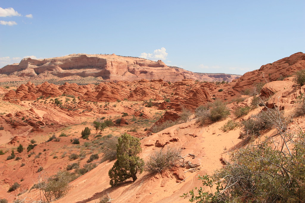
Imagine walking across the scorching desert floor of Nevada or Utah, surrounded by endless stretches of sand and stark rock formations. The bone-dry landscape seems utterly hostile to marine life, yet beneath your feet lies one of geology’s most remarkable secrets. You’re standing on what was once the bottom of a vast ancient sea, teeming with creatures that existed long before the first dinosaurs roamed the Earth.
This isn’t science fiction or wishful thinking. During the Precambrian, Arizona was home to a shallow sea which was home to jellyfish and stromatolite-forming bacteria, while what is now Utah has been covered by oceans and inland seas as well as completely dry land. The American Southwest holds geological evidence of multiple ancient seas that covered this region for hundreds of millions of years, leaving behind fossilized proof of their marine origins.
The Ancient Phosphoria Sea: America’s Forgotten Ocean
The Phosphoria Formation of the western United States is a geological formation of Early Permian age. The Phosphoria Formation was deposited under marine conditions in a foreland basin located between the Paleozoic continental margin and the North American cratonic shelf. This ancient sea stretched across what is now eastern Idaho, western Wyoming, northern Utah, northeastern Nevada, and southwestern Montana, an area of about 300,000 km².
The Permian Phosphoria Formation, a petroleum source rock and world-class phosphate deposit, was deposited in an epicratonic successor basin on the western margin of North America. The Phosphoria Sea wasn’t just a shallow pond but a thriving marine ecosystem. These hydrographic properties supported a mean rate of primary productivity of 0.87 g m⁻² d⁻¹ of carbon in the uppermost few tens of meters of the water column (the photic zone).
Picture this ancient ocean as a nutrient-rich environment where marine life flourished. The upwelling of cold, nutrient-rich marine water at that time stimulated the growth of plankton and nekton, resulting in the accumulation of organic matter on the sea floor. This wasn’t just any ordinary sea – it was a biological hotspot that would leave behind some of the richest fossil deposits in North America.
Marine Fossils Buried in Desert Sand
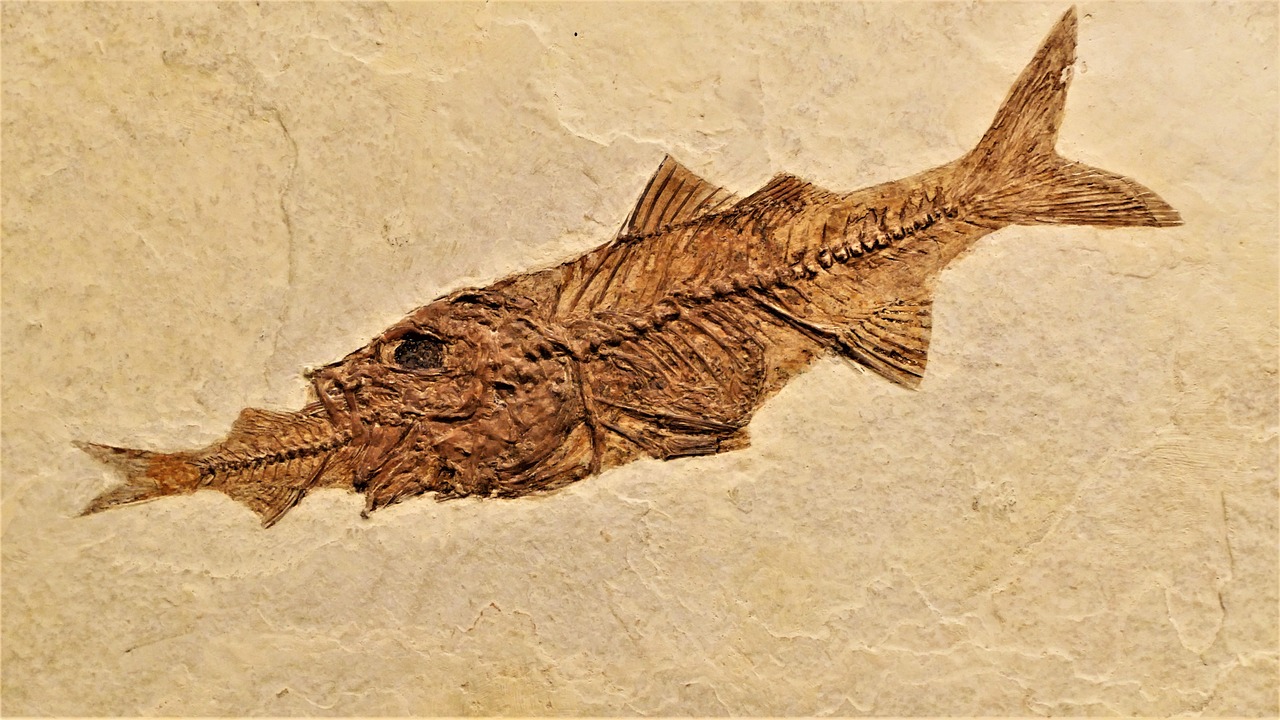
Today’s desert landscape conceals an underwater graveyard of epic proportions. Fossils recovered from the Phosphoria Formation include brachiopods, sponge spicules, crinoid stems, conodont elements, and fish scales and bones. Most “tooth whorls” of the enigmatic cartilaginous fish Helicoprion are known from the formation, including the only known specimen with preserved cranial remains.
These aren’t just random scattered fossils. These elements, including Ag, Cd, Cr, Cu, Mo, Ni, Se, V, and Zn, were associated with the marine plankton that comprised much of the organic fraction of the sediment when it was originally deposited in a shallow marginal sea. The chemistry tells the story of a bustling marine ecosystem.
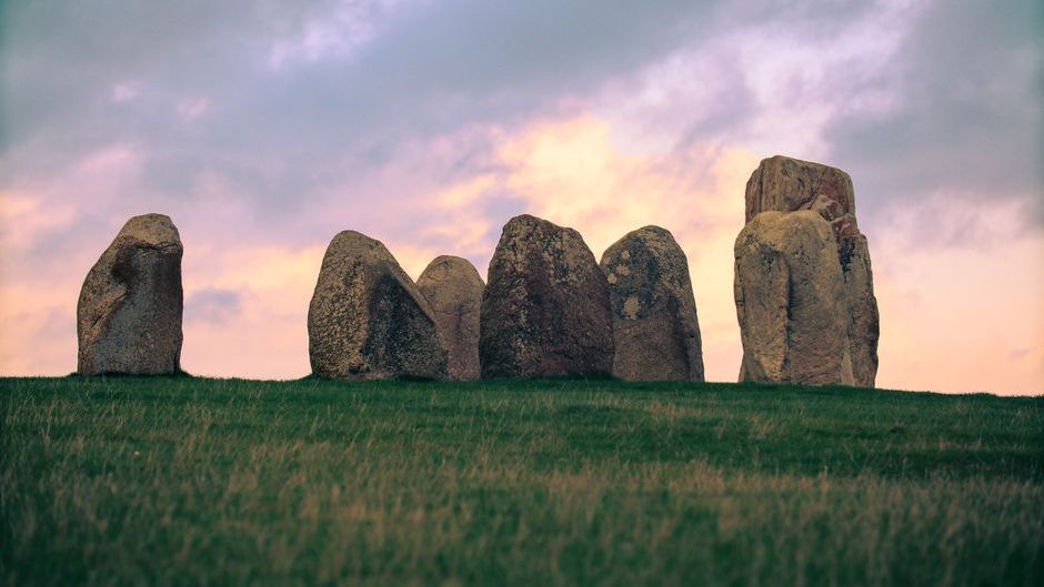
What’s truly remarkable is that you can still find evidence of this ancient ocean life today. Coral reefs, now exposed as thick limestone rocks in the Wasatch Range, are evidence of shallow seas that led to deep oceans in the west. These limestone formations serve as monuments to the prehistoric sea that once covered the region.
The Great Tethys Ocean Connection
The Phosphoria Sea wasn’t the only ancient ocean to cover parts of what’s now the American West. The Tethys Ocean was an ancient sea that emerged out of Pangea in the Triassic period. For millions of years, it was filled with aquatic animals like ammonites, plesiosaurs, and ichthyosaurs.
Think of the Tethys as the Mediterranean’s ancient ancestor, but much larger and more extensive. During the Jurassic Period, the shifting continents compressed the Tethys to form an equatorial seaway stretching from today’s Caribbean Islands to what is now the Himalayas. This Jurassic seaway split the land and allowed the continents to take the shapes we know today.
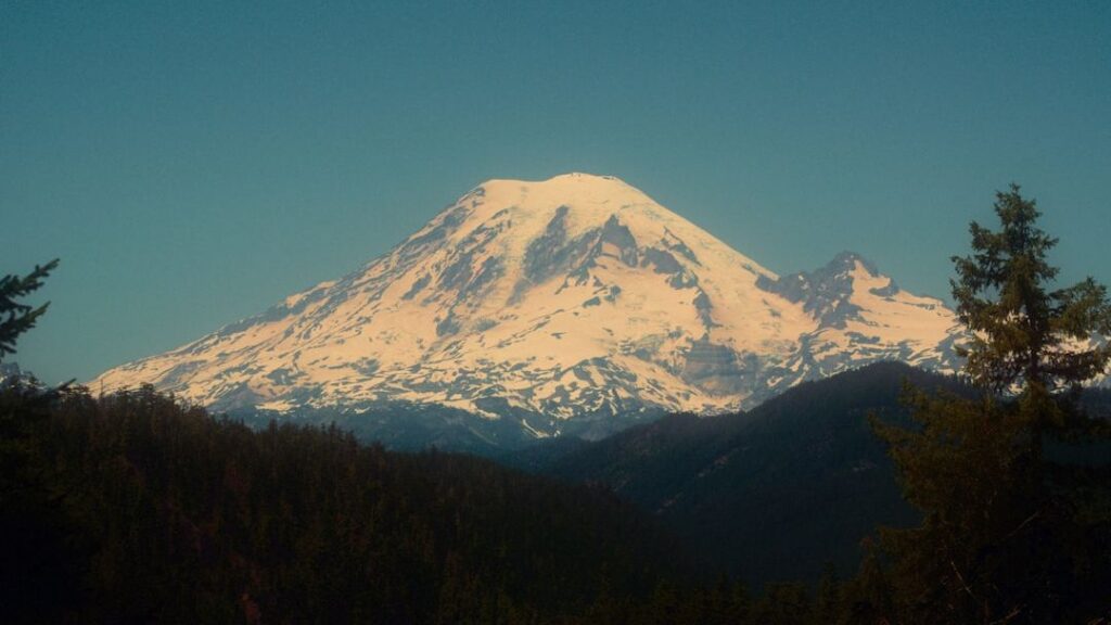
The evidence of this ancient ocean system can be found in the most unexpected places. The summit of Mount Everest, now 8,848.86 meters (29,031.7 feet) above sea level, was once beneath the Tethys Ocean, a vibrant seaway 485–443 million years ago. Its limestone rocks, part of the Qomolangma Formation, formed in a shallow sea teeming with trilobites and crinoids. If marine fossils can be found at the top of the world’s highest mountain, imagine what lies beneath the American deserts.
When the Desert Floor Was an Ocean Floor
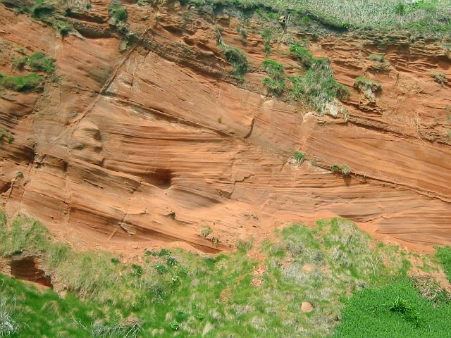
Zion National Park was once both a saltwater sea and a desert of towering sand dunes approximately 190 million years ago. The sand dunes became what are now the breathtaking 2,000-foot cliffs of Zion National Park when movements in the Earth’s crust caused the world’s largest sand dunes to sink below sea level.
This geological story reads like something from a fantasy novel. This allowed the sand to mix with minerals and calcium carbonate from the shells of sea animals to form sandstone. The Earth’s movement then caused the land to uplift and drain the sea away, and rivers began to carve the sandstone, forming the deep canyons now found in Zion National Park.
The transformation wasn’t instant. The elevation of the land surface has changed as well, ranging from sea level to over two miles above sea level. There have been periods where the topography has been relatively flat and also periods of mountain building and valley formation. What you see today in places like Zion is the end result of millions of years of geological drama.
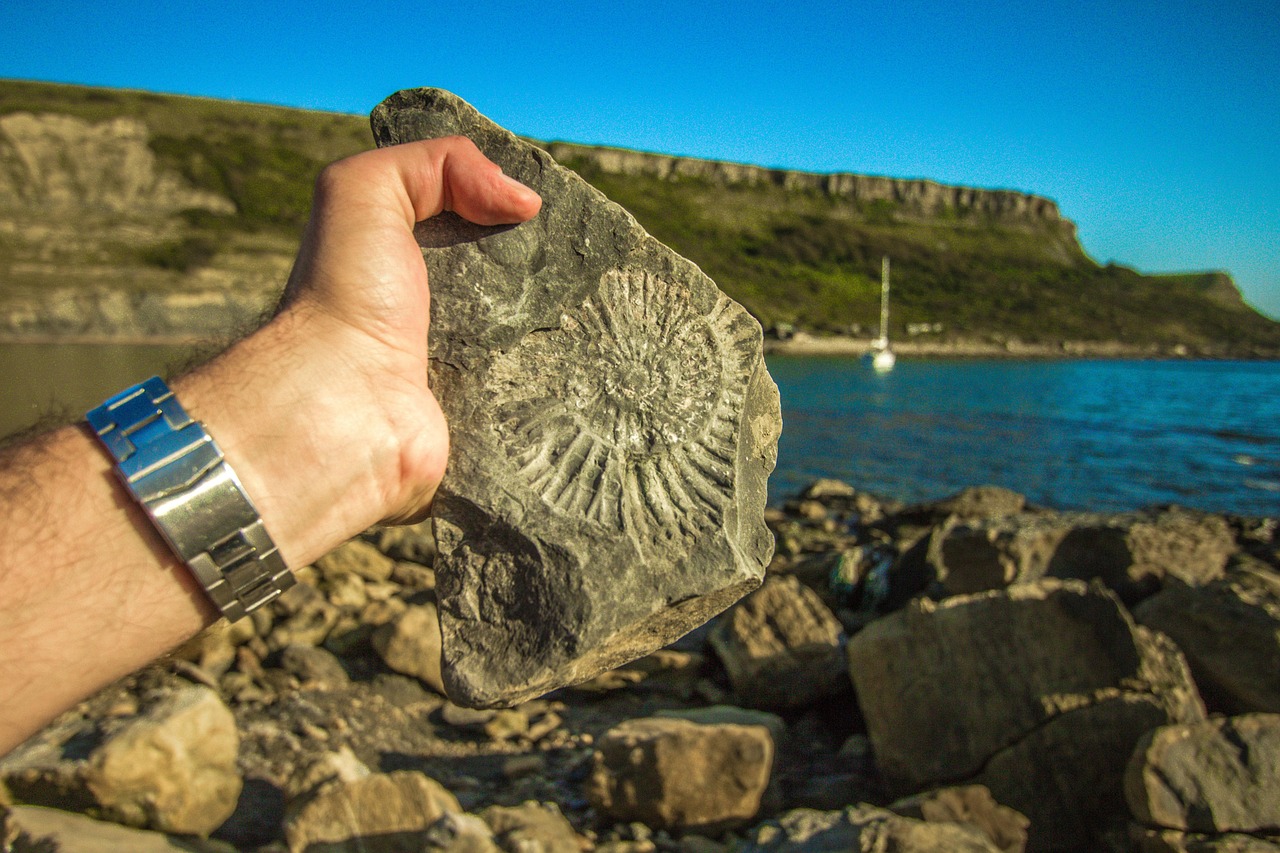
Crinoid Gardens in Stone
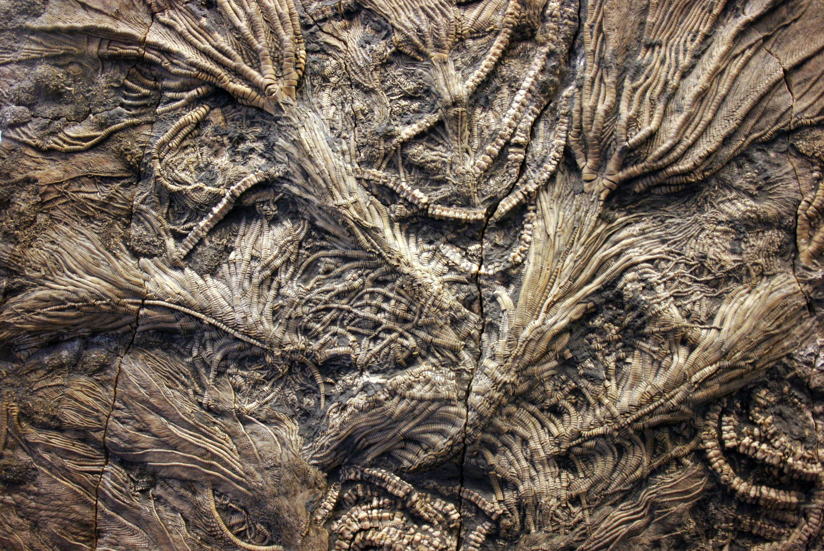
Among the most spectacular fossils found in these former ocean beds are crinoids, often called sea lilies. Crinoids, also known as sea lilies, are related to starfish, sea urchins, and sea cucumbers. They are still alive today, though they are not as common or as large as they were during the Paleozoic.
Crinoids flourished during the Paleozoic Era, carpeting the seafloor like a dense thicket of strange flowers, swaying this way and that with the ocean currents. They peaked during the Mississippian Subperiod, when the shallow, marine environments they preferred were widespread on several continents. Massive limestones in North America and Europe, made up almost entirely of crinoid fragments, attest to the abundance of these creatures during the Mississippian.
Picture underwater forests of these elegant creatures waving in ancient currents. By far the most common crinoid fossils are the stem pieces. These are abundant in eastern Kansas limestones and shales. These fossils are so common that entire rock layers in the American West are composed almost entirely of their remains, creating what geologists call crinoidal limestone.
The Great Western Interior Seaway
During the Cretaceous period, the ancient Farallon and Kula tectonic plates were in the process of subducting beneath the North American Plate. This caused the overlying land to warp and form a large back-arc basin. Ocean waters began to fill in the basin during a series of sea level increases (or, transgressions) during the Cretaceous. This produced the Western Interior Seaway.
This wasn’t just another small sea – it was massive. The Western Interior Seaway stretched from the Gulf of Mexico all the way to the Arctic Ocean, effectively splitting North America in half. These included bony fish (including the monstrous Xiphactinus, or X-fish), sharks, marine reptiles such as mosasaurs and plesiosaurs, birds, mollusks (including ammonites, bivalves, and snails), and echinoderms (including echinoids and crinoids).
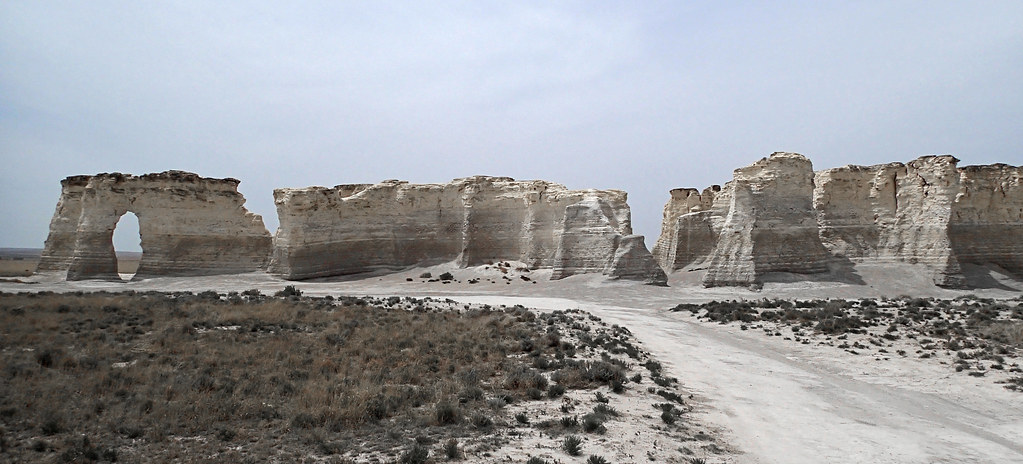
Imagine standing where Kansas is today and looking out over an endless expanse of ocean. These fossils, which were discovered in the Niobrara Chalk of western Kansas, lived during the later part of the Cretaceous Period, roughly 75 million years ago. Uintacrinus is a stemless crinoid, and specimens of these beautifully preserved crinoids from Kansas are on display in many of the major museums of the United States and Europe.
Trilobite Highways Across Ancient Seafloors
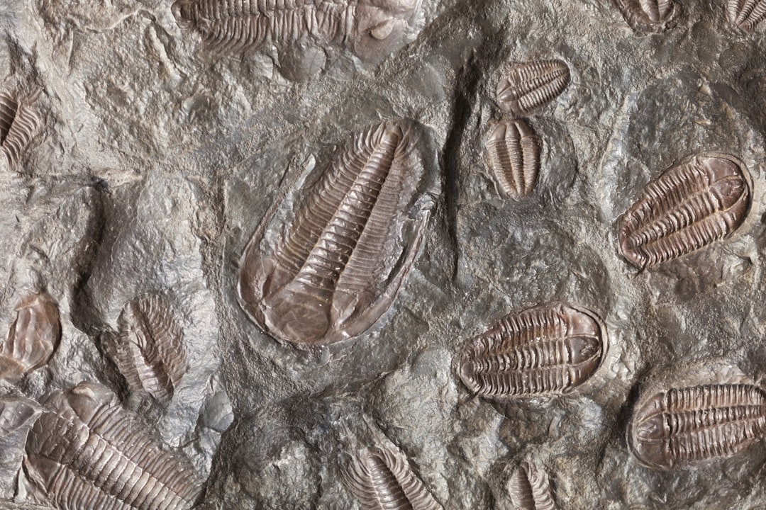
These fossil assemblages are nearly always dominated by brachiopods, but also contain trilobites, graptolites, corals, clams, crinoids, Skolithos trace fossils, and many others. Trilobites were some of the most successful creatures ever to inhabit these ancient seas, living for nearly three hundred million years.
Ordovician limestones in the area around Strasburg, Virginia, contain abundant trilobites. The fossils are preserved as silica (SiO₂), and can therefore be extracted from the surrounding carbonate rock by treating it with dilute acid. This allows for the examination of delicate fossils that would otherwise be impossible to study.
These arthropods were the rulers of the ancient seafloor, and their fossils tell us about the environments they inhabited. Fossils of trilobites, crinoids, brachiopods, and corals have been found in the summit limestone, though they are often fragmented due to exposure. Trilobites: Extinct arthropods with segmented exoskeletons that roamed early marine environments, their presence indicates a diverse and thriving ecosystem on the ancient seafloor.
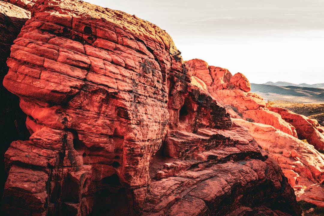
Coral Reefs in the High Desert
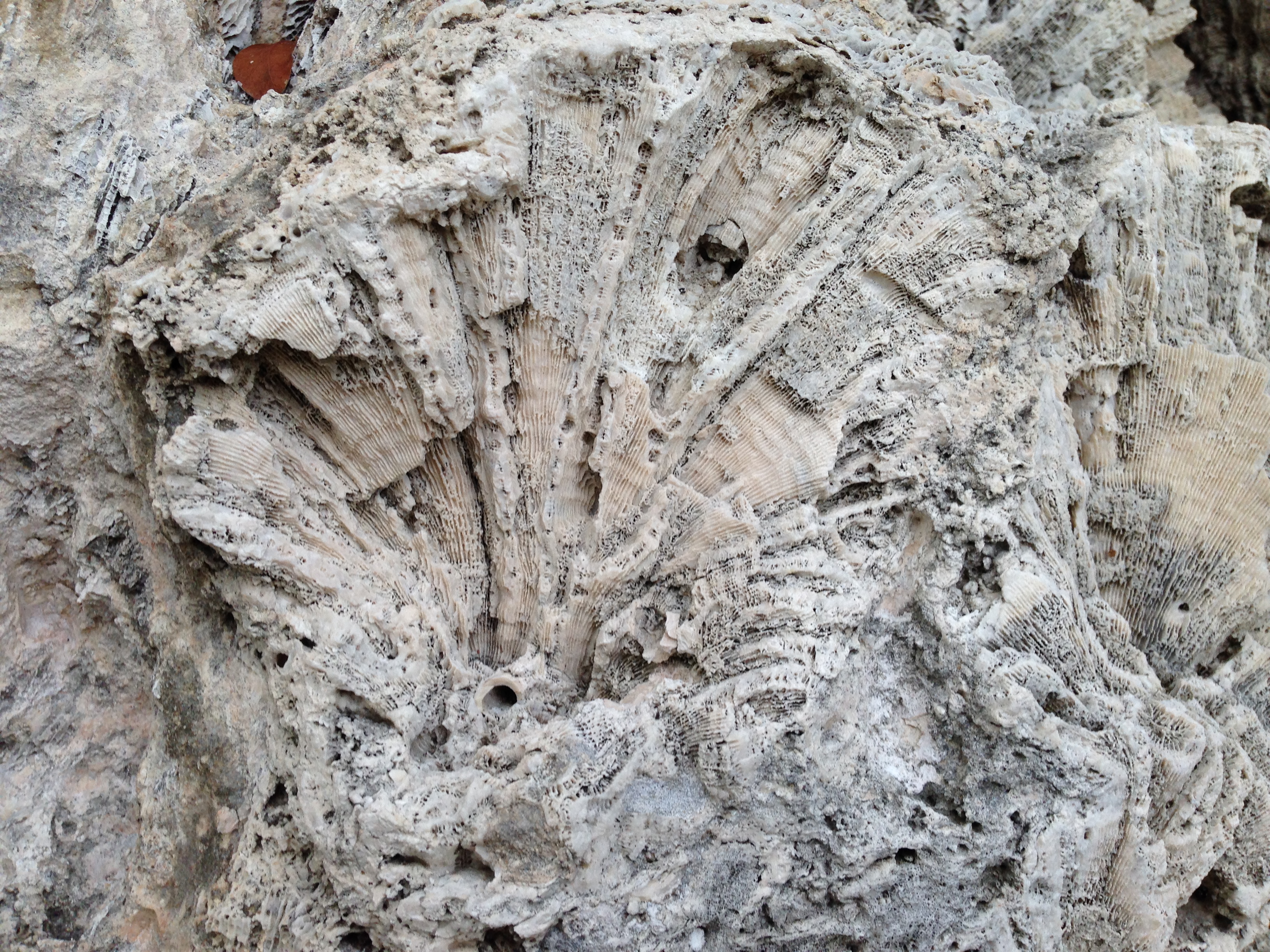
The best example is the Redwall Limestone, which commonly contains fossil brachiopods (a clam-like organism), corals, bryozoans (lace corals), crinoids (sea lilies), bivalves (types of clams), gastropods (marine snails), trilobites, cephalopods, and even fish teeth. These marine fossils are found haphazardly preserved in this limestone bed.
The Grand Canyon’s Redwall Limestone tells a particularly dramatic story. The crinoids, for example, are found with their columnals (disks) totally separated from one another, while in life they are stacked on top of one another to make up their “stems.” Thus, these marine creatures were catastrophically destroyed and buried in this lime sediment.
This suggests that these ancient reefs weren’t gradually buried over time but were rapidly entombed, preserving a snapshot of life in these prehistoric seas. The limestone itself is made largely from the compressed remains of countless marine organisms, their shells and skeletons forming the very foundation of what’s now high desert terrain.
The Southwestern Ocean’s Chemical Signature
The seawater-derived marine fraction identifies bottom water in the Phosphoria Sea as O₂-depleted, denitrifying (suboxic) most of the time, and seldom sulfate-reducing (anoxic). This interpretation is supported by earlier research that showed progressively greater ratios in the marine sediment fraction of Cr:Ni>V:Ni⪢Mo:Ni, relative to their ratios in seawater.
These aren’t just random chemical traces – they’re the fingerprints of an ancient ocean. The model gives the exchange rate of water between the Phosphoria sea and the open ocean to the west in terms of an upwelling rate (84 m yr⁻¹) and residence time (4.2 yr) of seawater in the basin. Scientists can actually calculate how the ancient Phosphoria Sea circulated, how long water stayed in the basin, and how it connected to the broader ocean system.
The chemistry also reveals the biological productivity of these waters. However, the mean rate of deposition of marine Ni, a trace nutrient of algae, and PO₄³⁻, a limiting nutrient, indicate that primary productivity was probably high throughout the depositional history. This was a sea rich in life, supporting complex food webs from microscopic plankton to large marine predators.
The Great Transformation: From Sea to Desert
During the last ice age, the landscape of the American West was very different. Where now there are deserts and salt flats in the Southwest and Great Basin regions, there once were giant lakes and wetlands. The Great Salt Lake, for example, is a tiny remnant of the prehistoric Lake Bonneville, which at one time covered almost 20,000 square miles.
The transformation from ancient ocean to modern desert wasn’t a single event but a series of geological episodes spanning hundreds of millions of years. During the last ice age, powerful spring and summer storms poured into the region from the tropical Pacific, a system that contributes almost no moisture to the region today. As the glaciers receded, that moisture source was cut off and the lakes eventually dried.
There have been wet tropical periods, dry dusty desert environments, and cold times that caused alpine glaciers. The geographic position of Utah has changed through time as well. Due to plate tectonics, the state has moved from a position on the equator to its present location. In doing so, Utah has rotated nearly 90 degrees from an east-west orientation to its present north-south position.
The stunning beauty of today’s Southwestern deserts is actually the exposed skeleton of these ancient seas. Every mesa, every canyon wall, every strange rock formation tells part of the story of when this land lay beneath miles of ocean water, teeming with life that seems almost alien to us today.
The next time you stand in the desert Southwest, remember that you’re walking on one of Earth’s greatest geological libraries. Beneath your feet lies evidence of ancient worlds, of seas that teemed with life when our planet was young and strange. The desert may appear barren, but it’s actually one of the richest fossil repositories on Earth, preserving the story of America’s oceanic past in stone.
What would you have guessed if someone told you the driest parts of America were once underwater worlds? The evidence is literally carved in stone, waiting for anyone curious enough to look.