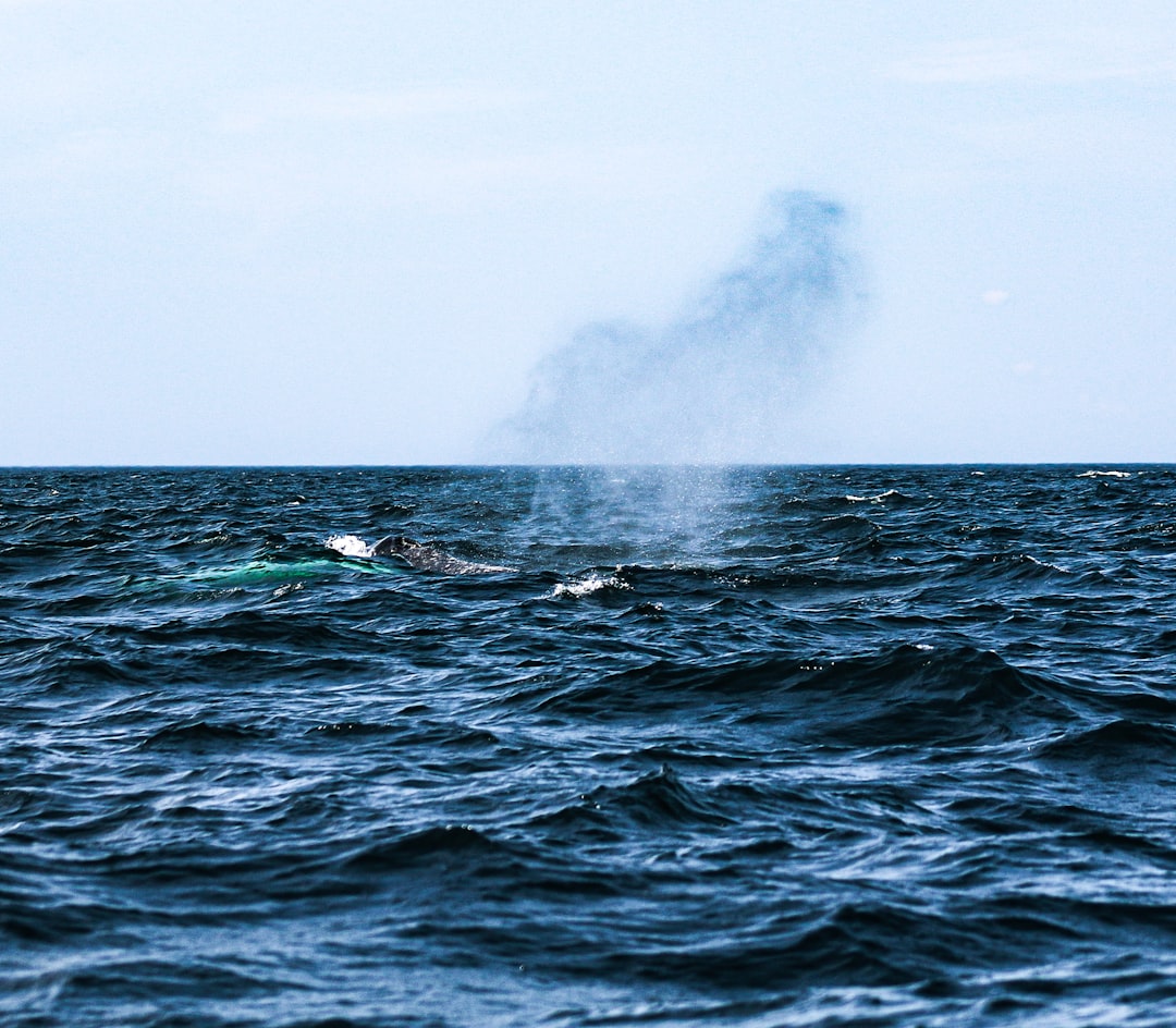
In the middle of a quiet Pacific night, a whisper ran through the seafloor and into a web of listening machines. No cameras caught it. No ship’s crew felt a shudder underfoot. Yet the instruments did not blink: a pulse of low, rolling sound, a rapid pressure wobble, a flurry of tiny quakes – the fingerprints of a deep-ocean eruption. That mystery is the story, and it’s unfolding now, miles below the surface where sunlight never reaches. The puzzle for scientists is simple to state and hard to solve: what exactly blew, how deep, and what does it mean for a planet that hides most of its fire under water?
The Hidden Clues
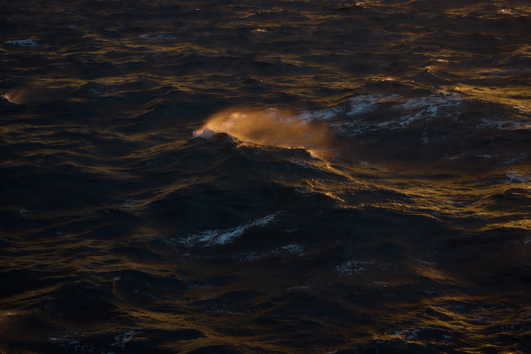
What tips you off when a volcano erupts in pitch-black water two or three miles down? The first clue is sound, racing through the ocean faster than any news alert, curled into long, low “T-waves” that hydrophones record like a heartbeat gone wild. Paired with a subtle pressure ripple on faraway tsunami sensors, the pattern reads like a crime scene sketch: start time, rough location, probable depth. I still remember hearing a T-wave playback for the first time in a lab; it felt like listening to the planet breathe. This week’s signal had that same hollow, powerful tone, the kind you feel more than hear.
Then there’s the seismic side, where a swarm of small, short-lived quakes often lines up like breadcrumbs pointing to a magma ascent. The quakes were modest, but clustered in time, as if something underground opened and then sealed again. No ash cloud, no satellite glow, no telltale pumice raft – too deep for that theater. Instead, the ocean carried the message for hundreds of miles, a whispered confession from the Earth’s molten interior. Reading it is patient work, but the language is getting clearer.
From Ancient Tools to Modern Science
Long before hydrophones, sailors learned to trust the sea’s odd moods: water that boiled without wind, sudden sulfur smells, or a ribbon of pale-green water snaking across the blue. Those clues led to charts dotted with “discolored water” notes – primitive, but surprisingly useful. Today’s toolkit is a different world, tuned to the ocean’s physics and the internet’s speed. Arrays of bottom seismometers grab vibrations, while deep-pressure buoys watch for the faintest nudge in the overlying water. Even fiber-optic cables, meant for your streaming shows, can double as experimental sensors that feel passing seismic waves.
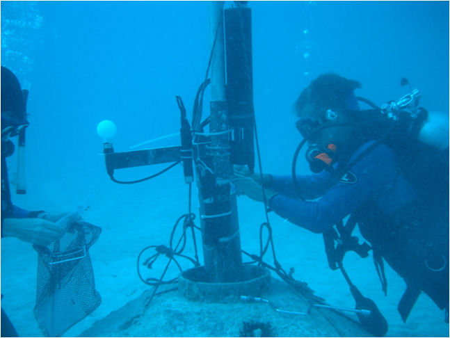
When something extraordinary happens, scientists stack these streams like layers in a cake. Timing ties one instrument to another; waveforms hint at the type of fracture; pressure data constrains depth. After the alarms, ships and autonomous vehicles get the slow, careful job: mapping fresh lava with multibeam sonar, sniffing hydrothermal plumes, and sampling water for metals and gases. It’s a choreography that spans months, but the opening notes – the ones we have now – often tell the main story. The trick is turning scraps into a map before the ocean erases the footprints.
Inside the Seafloor: How Deep-Ocean Eruptions Unfold
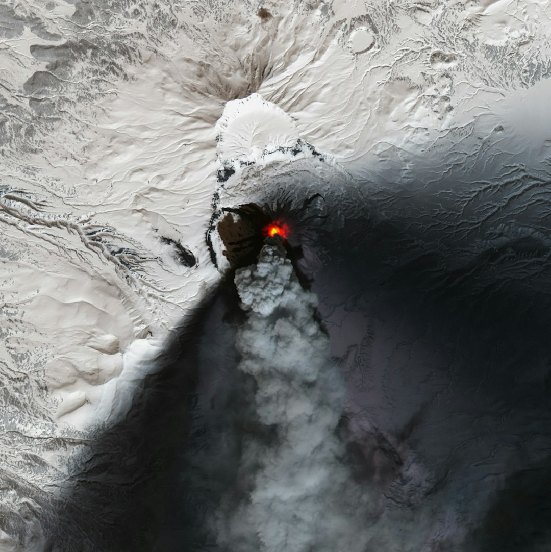
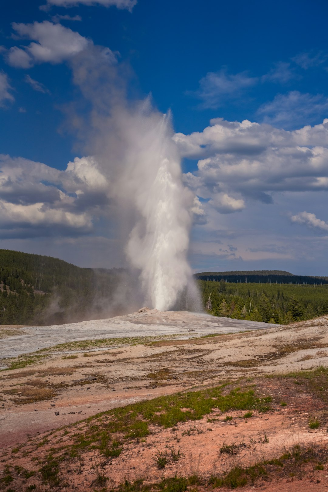
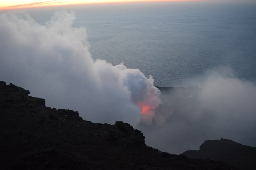
At great depth, pressure makes lava behave differently than the cinematic explosions we imagine on land. Gas stays dissolved longer, like a soda that refuses to fizz, so eruptions tend to be quieter, tighter, and more effusive. Lava pours into frigid water and skins over into pillow-like lobes, each one swelling and cracking as heat bleeds into the abyss. If magma encounters trapped seawater in the crust, you can still get blasts, but they’re often muffled – sound first, spectacle never. Think of it as a forge behind a thick wall: furious heat, discreet noise, lasting change.
The plumbing is a maze, too. Mid-ocean ridges tap long stripes of melting mantle; island arcs draw from water-laced rock above subduction zones; hotspots punch more vertically from deep within. Each setting leaves a signature in the sound and quake patterns we recorded. This week’s fingerprint looks like a confined outburst, fast and relatively brief, possibly at a ridge segment or back-arc rift where the crust is young and breakable. That narrows the map, and it tells us to look for fresh pillows and warm plumes, not ash blankets.
The Data Behind the Drama
Hydrophones caught the first act: a burst of low-frequency energy that ramped up over minutes, peaked, then decayed in a ragged tail. That shape often signals magma forcing a pathway, then draining as pressure equalizes. Minutes later, pressure sensors registered a tiny, coherent pulse – too small for hazard, large enough to prove the energy reached the surface as a fast-moving wave. The local seismic swarm tightened into a neat cluster, with quakes shallowing slightly before fading, a pattern that fits a magma injection dying down. None of this screams certainty, but together it sings consistency.
Follow-up will hinge on the water column. Researchers will hunt for hydrothermal plumes rich in iron, manganese, and helium-3, a noble-gas tracer that practically stamps “from the mantle” on the package. Autonomous gliders can ride density layers to chase those plumes, sampling chemistry and temperature while mapping where the water is young and rising. Multibeam sonar will sketch the seafloor in high relief, searching for a new, crisp flow draped over older, rougher terrain. If the maps change between now and the next survey, we’ll have concrete before-and-after proof.
Why It Matters
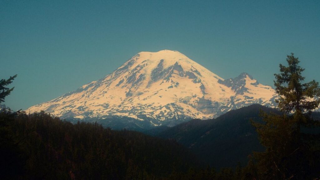
Most of Earth’s volcanic action happens out of sight beneath the sea, quietly rebuilding the crust and cycling elements that feed life. That alone is reason to care; it’s the engine room of the planet we live on. Deep eruptions also stir nutrients and trace metals into the water, fertilizing some regions while stressing others, a push-pull that can ripple through fisheries and carbon cycles. On the safety side, the deepest events rarely raise tsunamis, but they can shake submarine cables, reroute shipping, and complicate deep-sea operations. Understanding what just happened helps us forecast what might happen next, which is exactly what communities and industries near the Pacific need.
There’s also the bigger scientific picture. Every event like this tests our models of how magma moves, how ocean pressure alters eruptions, and where the next rupture might open. Each clean detection-and-confirmation loop makes the monitoring network smarter and the false alarms fewer. When we invest in the blind spots, we shrink them. That’s the quiet kind of resilience that pays off when the not-so-quiet events occur closer to shore.
Global Perspectives
The Pacific is not a single story; it’s a quilt of ridge seams, arc volcanoes, and hotspot trails stitched across a third of the planet. Countries scattered around its rim share the same underwater hazards but face very different capacities to monitor them. Regional data centers swap signals in real time, yet ship time to confirm eruptions is precious and scarce. A deep event like this one exposes that unevenness: the sensors may sit in international waters, but the impacts drift across borders. When the ocean speaks, it speaks to everyone, and the response only works when the network does.
There’s a practical angle, too. Cable routes, shipping lanes, and planned offshore projects now intersect with zones of known submarine unrest. Better mapping reduces nasty surprises, like an unexpected lava flow scarring a cable corridor that was never surveyed at modern resolution. Fisheries managers care because hydrothermal nutrients can shift productivity in ways you can’t see from space. Even climate modelers pay attention, since deep fluxes of heat and carbon can tweak local circulation. A single eruption won’t rewrite the climate story, but it’s part of the footnotes we have to read.
From Signal to Seafloor: The Hunt for Proof
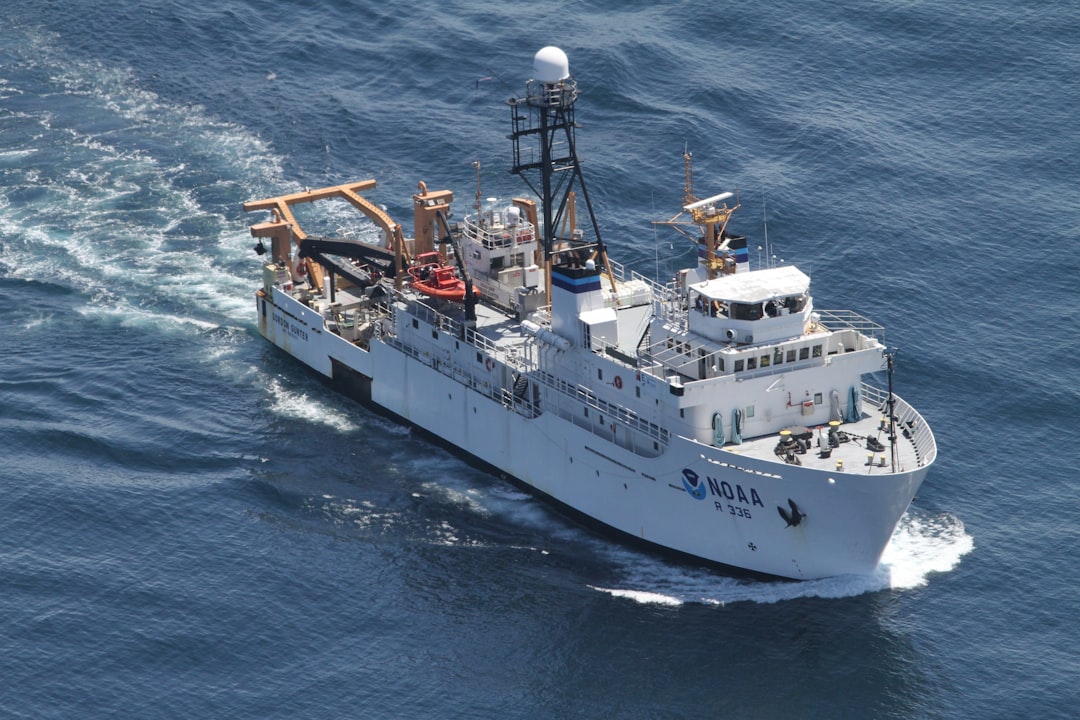
Right now, the to-do list is clear: refine the location, mobilize a ship, and ground-truth the anomaly. Triangulation with more hydrophones will tighten the error box, and any new quakes will sharpen it further. With luck and good weather, a research vessel will steam out with an autonomous sub in tow, ready to map, measure, and sample. The first sonar swaths are always tense; a new flow looks strangely smooth, like draped taffy against a jagged background. If they find that, the debate shifts from if to how big, how hot, and how long.
Sampling tells the rest. Water chemistry can fingerprint the magma’s source, while short-lived isotopes clock the eruption’s age down to days or weeks. Fluid temperatures and flow rates reveal how vigorously the crust is still venting. If there’s a new hydrothermal field, cameras might finally get their moment, recording pale chimneys and shimmering water where there was none before. Until then, the instruments will keep listening, because the seafloor often mutters before it speaks again.
The Future Landscape
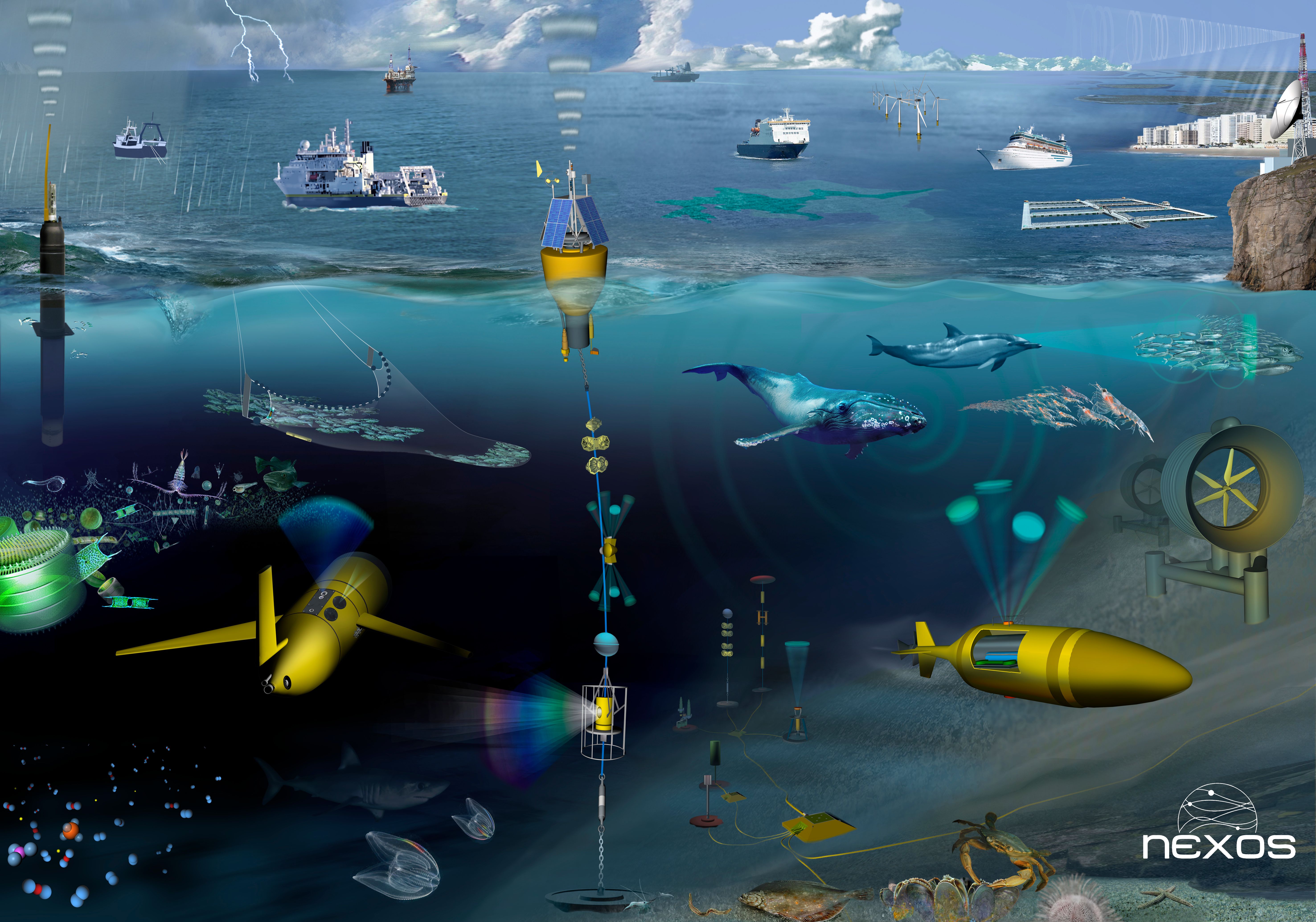
The monitoring game is changing fast. Distributed acoustic sensing on existing seafloor cables is moving from experiment to potential backbone, turning thousands of miles of glass into continuous ears. Smarter buoys now blend pressure, acoustics, and GPS to flag anomalies with far fewer false positives. Autonomous vehicles can loiter for weeks, sipping power and phoning home when chemistry spikes. Together, those upgrades promise fewer mysteries and faster confirmations, even in brutal weather and remote waters.
But challenges remain. Data sharing still stalls on policy and bandwidth, ship time is expensive, and deep dives are unforgiving on equipment. We also need better models for how deep eruptions couple to the ocean, from turbulence to biogeochemistry. The long view is practical: map likely sources, protect critical infrastructure, and practice the handoff from sensor alert to seafloor proof. If we do that, the next “nobody saw it” eruption will still be unseen – but not unknowable.
Field Notes From a Restless Ocean

I keep a small notebook of “first sounds,” and deep-ocean eruptions rank among the most eerie entries. They lack the crack and pop of air; they roll, calm and implacable, like distant thunder that never quite arrives. That quality is why they’re easy to miss and hard to doubt once you’ve learned the tune. Listening is a discipline, and the ocean rewards it with stories that cameras can’t capture. This week’s story feels familiar and new at once, a reminder that most of Earth’s action happens where our senses don’t reach.
That’s also why patience matters. Days from now, a ship may find a fresh, glassy flow where maps showed only wrinkles and scars. Or it may find only heat, proof that the eruption was brief and tight, already cooling into quiet rock. Either result is a win for the method and a lesson for the next event. The ocean seldom shouts; it leans in and whispers, and you have to meet it halfway.
How You Can Help
You don’t need a research vessel to make a difference. Support open ocean data initiatives that keep hydrophone and buoy streams public and funded. If you live on a coast, learn your local tsunami and earthquake alerts; deep eruptions rarely cause big waves, but the same networks warn for the ones that do. Encourage responsible seafloor mapping and cable planning – those charts protect both science and the internet you rely on. And if you’re lucky enough to visit a science museum or aquarium, seek out the deep-sea exhibits; your ticket helps fuel the instruments that hear the next unseen eruption.

Suhail Ahmed is a passionate digital professional and nature enthusiast with over 8 years of experience in content strategy, SEO, web development, and digital operations. Alongside his freelance journey, Suhail actively contributes to nature and wildlife platforms like Discover Wildlife, where he channels his curiosity for the planet into engaging, educational storytelling.
With a strong background in managing digital ecosystems — from ecommerce stores and WordPress websites to social media and automation — Suhail merges technical precision with creative insight. His content reflects a rare balance: SEO-friendly yet deeply human, data-informed yet emotionally resonant.
Driven by a love for discovery and storytelling, Suhail believes in using digital platforms to amplify causes that matter — especially those protecting Earth’s biodiversity and inspiring sustainable living. Whether he’s managing online projects or crafting wildlife content, his goal remains the same: to inform, inspire, and leave a positive digital footprint.