It’s a strange feeling to realize the most disruptive natural hazard in America may not roar – it may whisper first. Across the country, from Alaska’s island arc to the Hawaiian hot spot and the Cascades spine, subtle signals are stacking up in 2025. Scientists aren’t sounding panic; they’re tightening their focus on a handful of restless systems where history, monitoring, and fresh activity intersect. The problem is simple and unnerving: you don’t get a calendar invite for an eruption. The solution is patient vigilance, sharper instruments, and communities that know what to do before ash, lava, or mud makes the first move.
The Hidden Clues
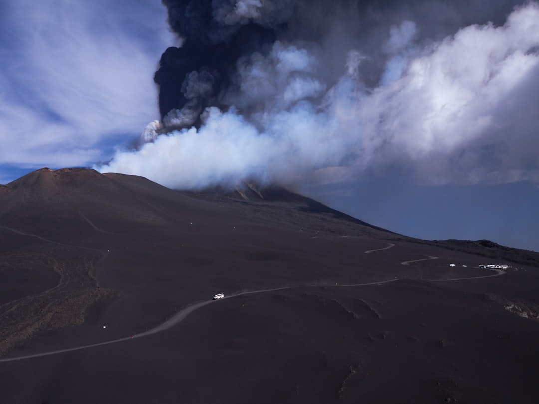
Every volcano tells on itself, just not in plain language. Microquakes tap out patterns under the surface, the ground rises by inches you can’t see, and wafts of sulfur tilt from background to louder-than-usual. In 2025, much of the work is decoding these changes in real time and deciding whether they’re the geologic equivalent of a deep breath – or the start of a sprint.
Think of a volcano as a living reservoir with valves, fractures, and leaky seams. When magma pushes upward, GPS stations creep, satellite radar brightens, and gas sensors catch shifts that, stitched together, trace a story arc. The trick is context: a week of jitters means one thing at a frequently active cone and something else entirely at a quiet caldera.
Hawaii’s Restless Duo: Kīlauea and Mauna Loa
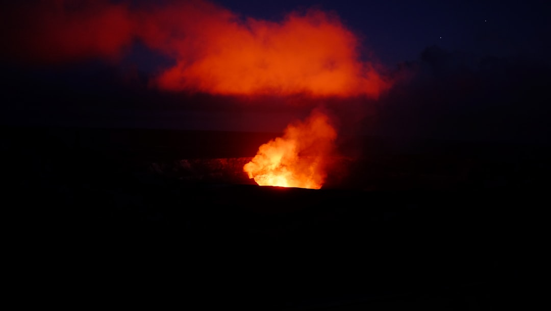
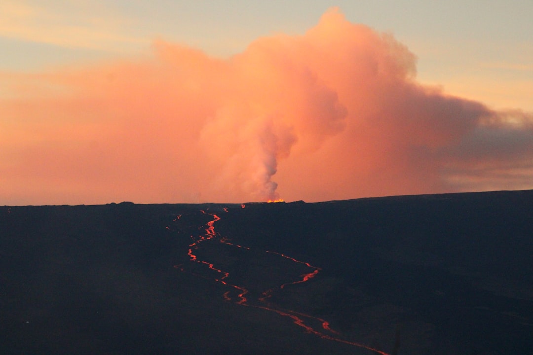
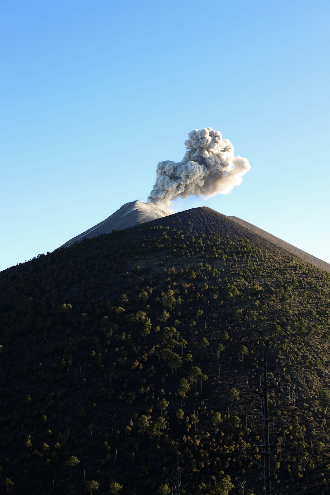
Kīlauea remains the most closely watched for good reason: it cycles between calm and activity on human timescales. Even during pauses, magma keeps moving at depth, reshaping the plumbing and setting the stage for the next act. For nearby communities, the real concern isn’t surprise lava on swing sets – it’s how lava or gas could cut roads, disrupt power, and stress water supplies.
Mauna Loa, after its recent reawakening, stays on scientists’ short list because its eruptions can evolve quickly. Long, fast-moving flows on the flanks can redraw access routes in hours, not days. I still remember standing on a cooled pāhoehoe field years ago and feeling how young it was – shiny, glassy, and unsettlingly new – proof that Hawaiʻi writes fresh chapters often.
Pacific Northwest Watchlist: Mount St. Helens, Rainier, and Neighbors
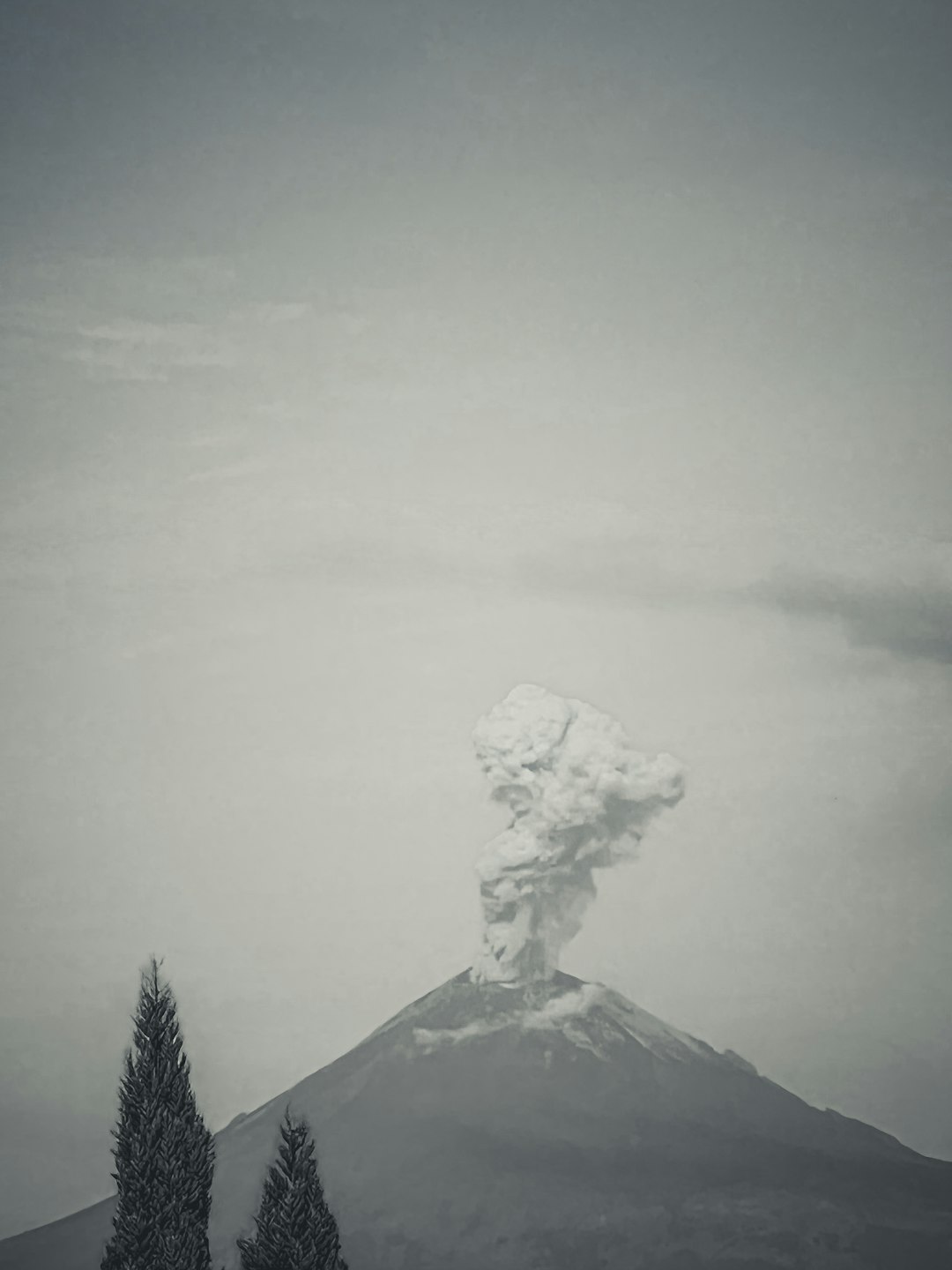
Mount St. Helens is the Cascades’ tinkerer – periodically rebuilding its dome, rumbling with small swarms, and reminding everyone it learns fast. Scientists have watched magma recharge there for years, a slow, steady drumbeat rather than a siren. It’s the volcano most likely to produce the next Cascade eruption, and that clarity helps shape drills, maps, and public messaging.
Mount Rainier is a different kind of worry: its icy flanks can feed gigantic mudflows even without a major eruption. Towns downstream sit atop old lahar deposits, and evacuation routes are now mapped, signed, and drilled with increasing precision. Add in Mount Hood and the central Oregon centers of unrest, and you get a region where readiness is as critical as raw probability.
Big-Caldera Questions: Long Valley and Yellowstone
Long Valley Caldera in California and Yellowstone in Wyoming are the poster children for misunderstanding. Both breathe in slow-motion cycles of uplift and subsidence, punctuated by swarms that spark breathless rumors. The measured view in 2025 is firm: unrest does not equal imminent eruption, but neither system earns a free pass.
At Long Valley, warm springs, CO2-rich soils, and occasional swarms are reminders that heat still percolates through a vast, complex system. Yellowstone’s hydrothermal features – geysers, pools, and steaming ground – are monitored by dense networks that catch small shifts long before they become big news. The stakes are high, yes, but the instruments are sharper than they’ve ever been.
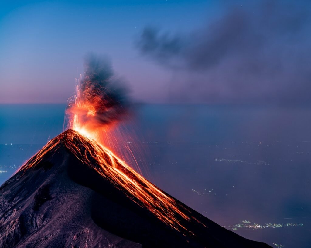
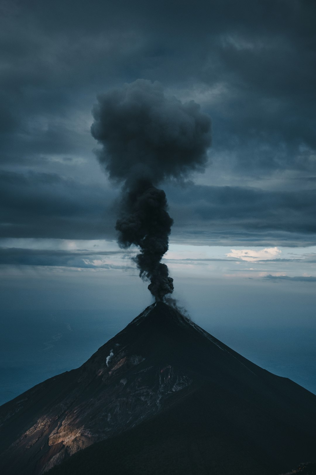
Alaska’s Fast Movers: Shishaldin, Pavlof, Cleveland, and Great Sitkin
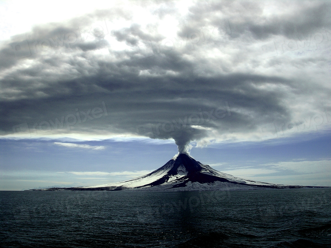
Alaska hosts the busiest U.S. cluster, where steep basaltic cones can ramp from quiet to ash-producing in short order. Shishaldin and Pavlof have a habit of throwing tantrums that send ash high enough to nudge flight routes. Cleveland and Great Sitkin might not trend on social feeds, but they matter immensely to aviation managers and mariners.
The challenge in 2025 is distance and weather: remote stations get hammered by storms, and aircraft confirmation isn’t always immediate. That’s why satellite eyes, infrasound, and lightning detection matter so much here. These tools turn far-flung volcanoes into data-rich sites, shrinking the state’s vastness into something scientists can watch minute by minute.
From Ancient Tools to Modern Science
People once read volcanoes by watching springs, animal behavior, and odd smells – clues that still matter as human-scale hints. Modern science layers on dense arrays of seismometers, gas sensors, thermal cameras, and continuous GPS, building a 3D picture of magma on the move. Fiber-optic cables even double as vibration sensors, turning buried glass into miles-long ears.
In 2025, the frontier is fusing these streams into clearer forecasts without crying wolf. Machine-learning models flag patterns we might miss, then humans step in to ask the hard questions: is this real, repeatable, and meaningful? That back-and-forth is how you turn whispers into warnings with enough lead time to help.
Why It Matters
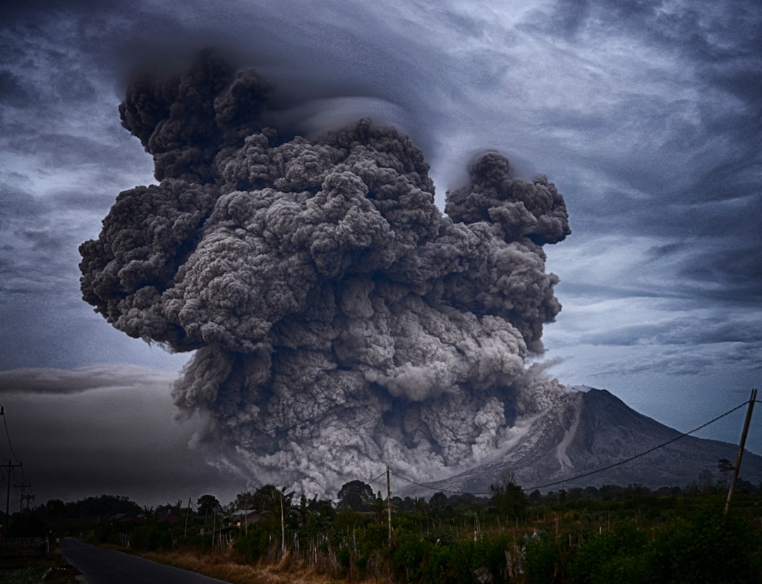
Volcano hazards are not just about lava postcards – they’re about ash on runways, mudflows through suburbs, and gases that can harm vulnerable lungs. The economic ripple is stark: disrupted shipping, delayed flights, and power interruptions can spread far beyond the eruption footprint. That’s why the most worrisome volcanoes are often the ones near people, roads, and critical utilities.
History is the guidepost: a single Cascade eruption in the late twentieth century reshaped policy, science, and public memory for generations. In 2025, we’ve traded surprise for surveillance, but the margin for error is still thin. Preparing now costs less – in dollars and stress – than scrambling later.
Global Perspectives
U.S. scientists coordinate daily with counterparts across the Pacific Rim, because ash clouds don’t recognize borders. Lessons from eruptions abroad inform models here – how basaltic cones pulse, how calderas breathe, how ice and fire mingle. In exchange, U.S. networks share data standards, satellite workflows, and rapid alert practices that other regions can adopt.
This cross-pollination matters for aviation corridors that link Asia and North America. A burst of ash in the Aleutians can reroute flights and ripple through global schedules. The safer the forecasting net, the smoother the world’s arteries of travel and trade.
The Future Landscape
Tomorrow’s toolkit is arriving today: AI-assisted detection combs through noisy seismic waves while satellite constellations tighten revisit times to hours, not days. Drones sample gases above dangerous vents, and new spectrometers tease out subtle chemical shifts that hint at deeper changes. Even consumer phones can contribute location stability data to refine ground deformation maps.
Climate adds a wrinkle: retreating glaciers on high peaks may alter loads on volcano flanks, potentially changing how magma moves. More people living in hazard valleys raises the stakes for clear, fast alerts. The future isn’t about predicting the exact hour – it’s about shaving uncertainty enough to move people and protect lifelines.
Conclusion
Know your map: if you live near a Cascade river valley or on Hawaiʻi Island’s flanks, look up lahar zones, lava flow paths, and shelter routes. Sign up for local and national hazard alerts, and practice the simplest drills – minutes count when roads choke. A small kit with masks, water, and a charger is not overkill; it’s peace of mind.
Support the science that supports you: community colleges, museums, and observatories run programs that turn curiosity into practical know-how. Ask officials about siren tests, signage, and school plans, and be the neighbor who treats practice like it matters. When the ground starts whispering, will you already know what to do?

Suhail Ahmed is a passionate digital professional and nature enthusiast with over 8 years of experience in content strategy, SEO, web development, and digital operations. Alongside his freelance journey, Suhail actively contributes to nature and wildlife platforms like Discover Wildlife, where he channels his curiosity for the planet into engaging, educational storytelling.
With a strong background in managing digital ecosystems — from ecommerce stores and WordPress websites to social media and automation — Suhail merges technical precision with creative insight. His content reflects a rare balance: SEO-friendly yet deeply human, data-informed yet emotionally resonant.
Driven by a love for discovery and storytelling, Suhail believes in using digital platforms to amplify causes that matter — especially those protecting Earth’s biodiversity and inspiring sustainable living. Whether he’s managing online projects or crafting wildlife content, his goal remains the same: to inform, inspire, and leave a positive digital footprint.