New land does not arrive politely; it explodes into being. In quiet corners of the ocean, pressure builds, magma rises, and a world we’ve never seen meets the surface in a rush of steam and ash. Mariners spot a stain on the water, satellites note a warm blush in the sea, and suddenly a dot appears on the map where none existed the day before. Scientists race to measure what the waves are already trying to erase, while nearby communities weigh wonder against risk. This is Earth at its rawest and most democratic – land made before our eyes, open to anyone willing to watch carefully.
The Hidden Clues
What if the first hint of a newborn island is not a plume of ash but a strange change in the sea’s color? Discolored water can reveal volcanic gases bubbling up, tiny glassy shards of ash, and fine minerals spreading like smoke beneath the waves. Birds may gather over fish stunned by sudden heat, while instruments on boats pick up a faint tremor under the hull. The clues look small at first, almost shy, but they’re the opening act to a show that can reroute shipping lanes and redraw coastlines. I remember refreshing satellite images one dawn and seeing a faint oval that wasn’t there the night before; it felt like catching the planet in a secret.
A keen eye pairs with hard data. Thermal sensors track rising heat, radar peers through clouds, and acoustic networks listen for low rumbles. Together, they turn scattered hints into a coherent alarm that something is building where sea once ruled.
From Ancient Tools to Modern Science
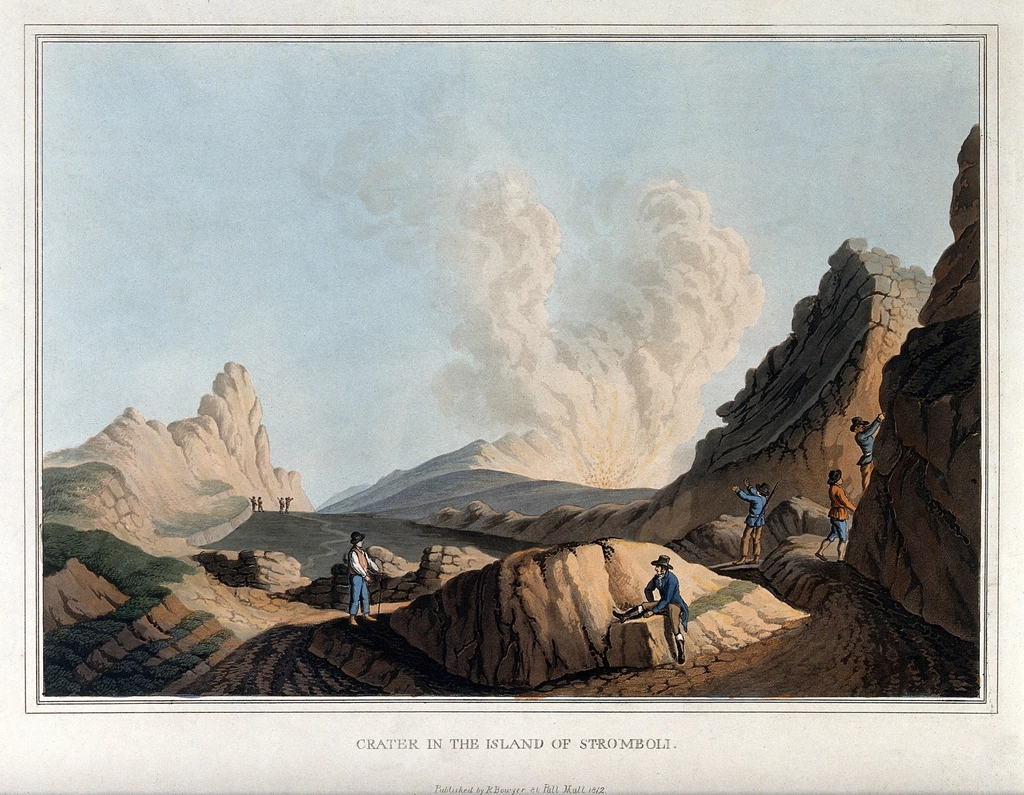
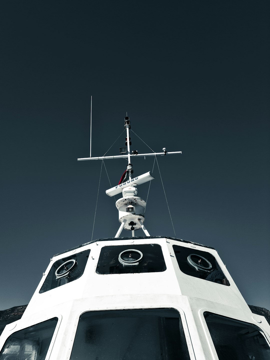
Sailors once mapped new islands with compass, log, and cautious loops around steaming water, sketching in the margins of charts. Their notes were part folklore, part field science, and sometimes the island they recorded had vanished by the time others came looking. Today, researchers stitch together shipboard sonar, drones that skim the blast zone, and satellites that pass overhead every few days. The instruments are precise, but the ocean still throws curveballs, hiding vents under surf and smothering details in foam. The core challenge remains the same: get close enough to learn, but not so close that you’re caught by a surprise surge.
What’s changed is speed. Data now arrives in near real time, letting scientists model growth hour by hour and warn mariners before the horizon blooms with ash. The result is a live feed of geology, captured while the world is still wobbling into shape.
From Magma to Shoreline: The Birth Sequence
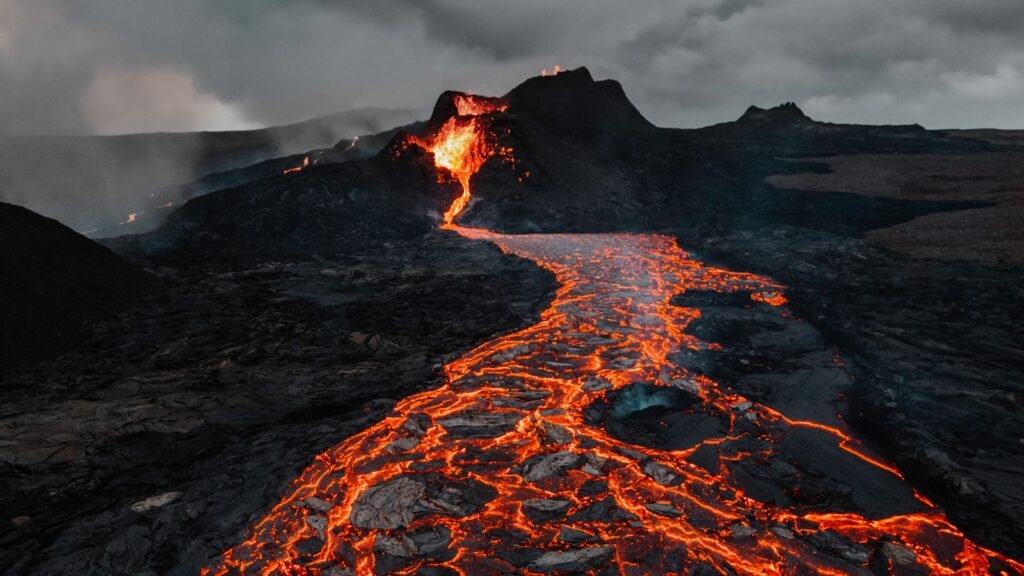
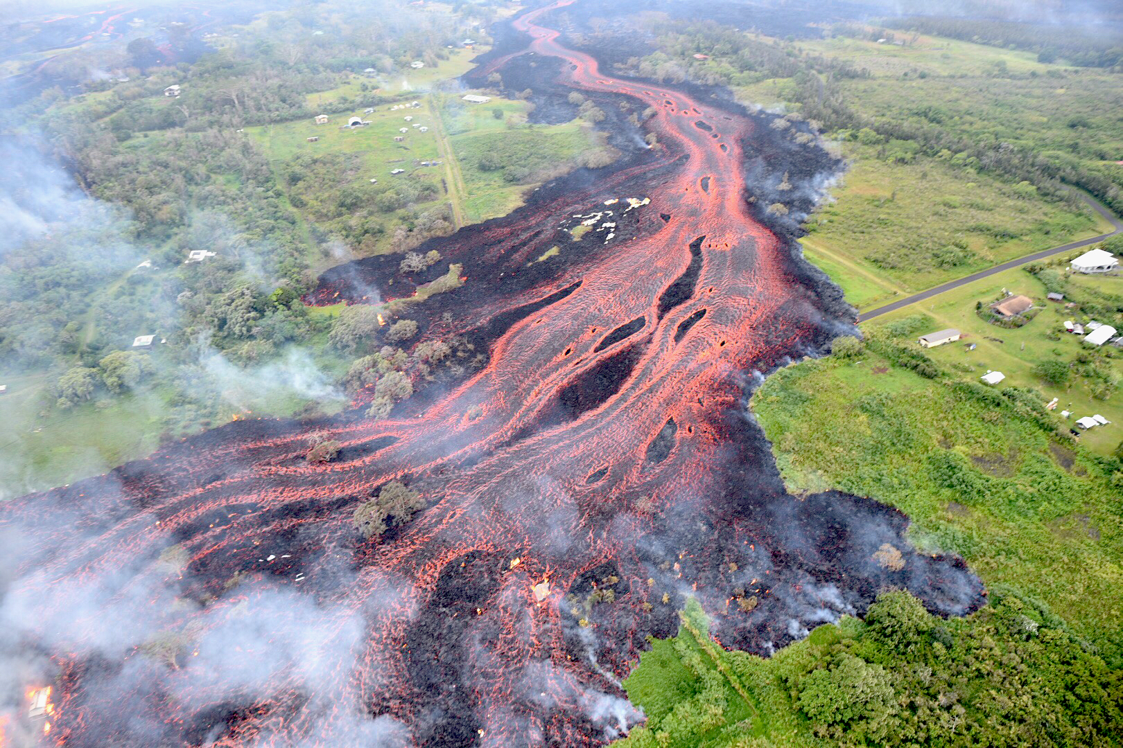
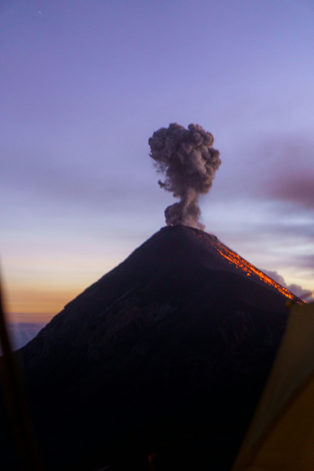
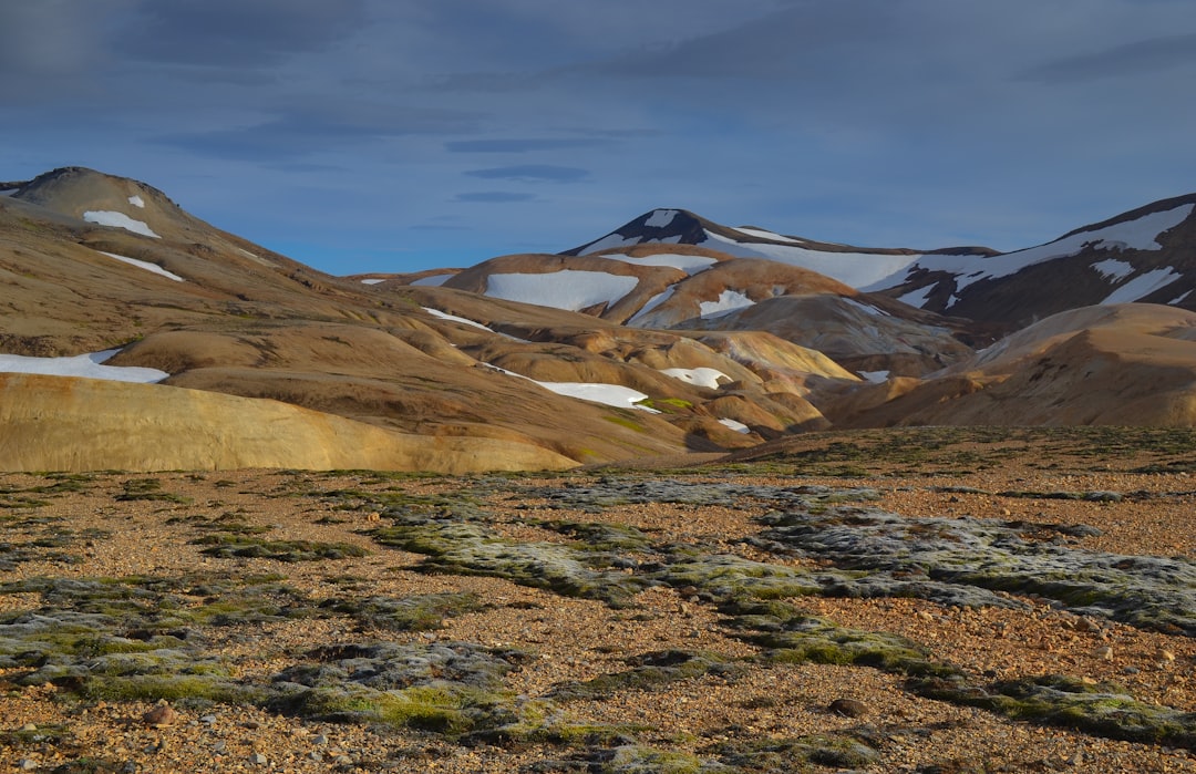
Most island births begin invisibly, as magma rises through fractures in the crust and meets cold seawater under pressure. At first, lava pillows inflate and shatter, stacking into a mound that pushes upward like a slow-breathing lung. As the summit nears the surface, explosions become more violent because water flashes to steam in an instant. When that boundary breaks daylight, the eruption’s personality flips; ash, bomb-sized fragments, and roiling plumes suddenly dominate. The sea hisses like a skillet, and a ring of debris starts to sketch the outline of future shores.
Only after repeated bursts does a true rim emerge. If lava can break through and cascade over loose ash, it chills into a sturdier cap that resists the waves. That’s when an island stops being a rumor and becomes a place.
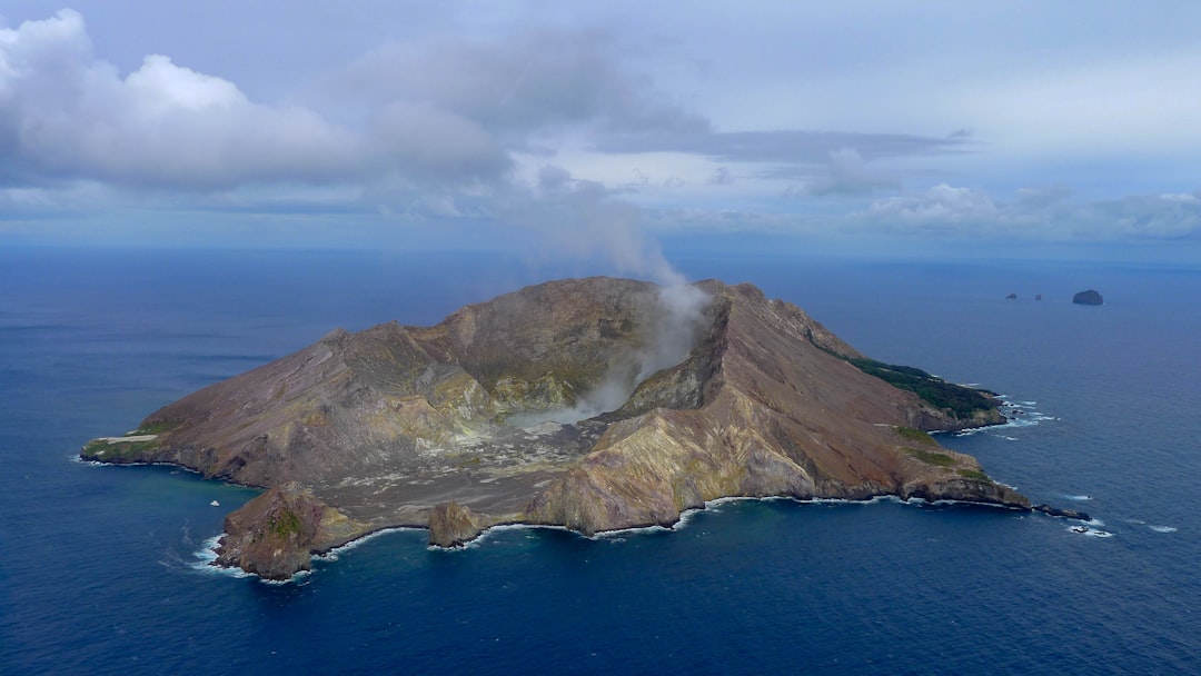
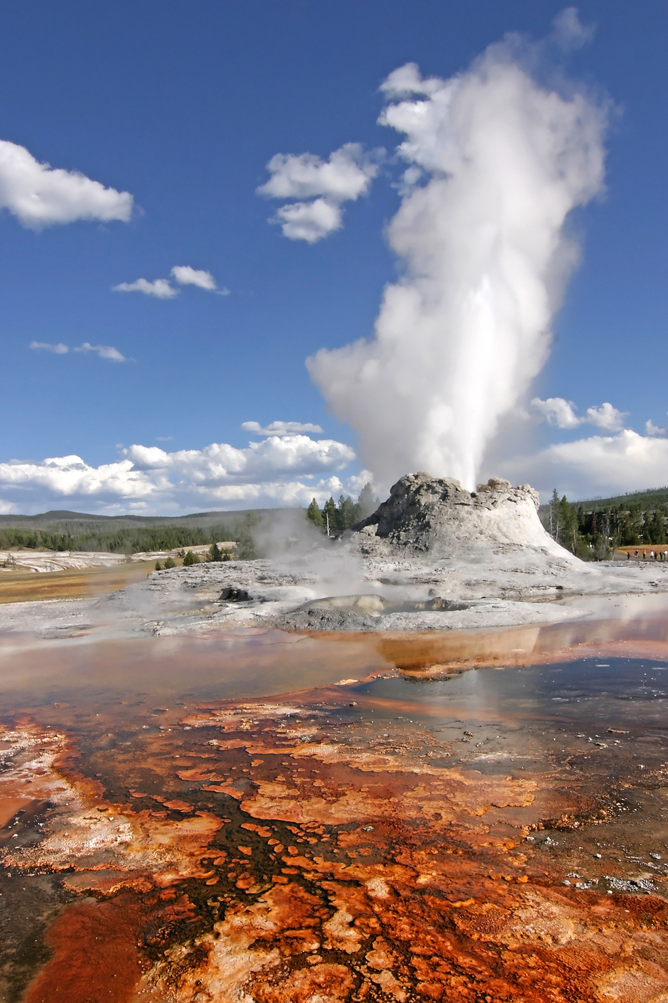
Surtseyan Moments: When Sea Meets Fire
The most dramatic island births are the so-called Surtseyan eruptions, named for a mid‑twentieth‑century Icelandic island that famously rose from the North Atlantic. In this style of eruption, jets of ash and steam burst from a vent only meters below sea level, lofting dark columns that can be seen for miles. Each blast tosses wet debris into arcs that fall back as tuff, building walls one breath at a time. Between bursts, waves claw at those fresh edges, collapsing them with the impatience of a storm. It’s a tug-of-war between construction and demolition, played out minute by minute at the waterline.
For island longevity, timing is everything. If the eruptive phase lasts long enough to raise the crater above surf attack, the chance of survival improves sharply. If it fizzles early, the sea takes its victory back in days.
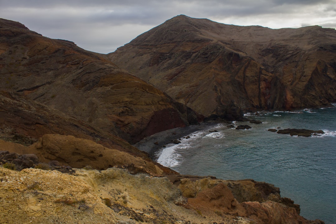
The Materials That Matter: Basalt, Ash, and Binder Waves
Not all newborn islands are created equal, because not all volcanic materials behave the same in the ocean. Loose ash compacts like wet flour and can be gnawed away by wave energy before the coastline even gets a name. Basaltic lava, in contrast, cools into dense, interlocking rock that can armor a shoreline against the first seasons of storms. Rainwater then plays alchemist, reacting with glassy ash to form tougher minerals that glue the pile together from within. If fresh lava returns to veneer the rim, it’s like pouring concrete over a shaky foundation.
Waves are the skeptical engineers in this story. They test every layer of the new structure, exploiting weak seams and tearing at talus slopes. Only after the ocean’s audit does an island graduate from temporary to tenacious.
Life Finds a Foothold: Ecology on New Land

Even while steam curls off black sand, life begins to poke around. Seabirds scout for resting spots and drop the first seeds in their feathers, while salt-tolerant plants ride the wind to colonize sterile slopes. Insects arrive as accidental passengers on driftwood, and their tiny burrows start to loosen and aerate the gritty soil. Over time, waste from birds and early pioneers enriches the surface, turning mineral crumbs into something that can cradle roots. The first green shoots on a fresh lava bench feel like a quiet encore after the thunder of eruption.
Humans, too, start to map and measure. Researchers set up no-go zones to keep the early ecosystem undisturbed, documenting how communities assemble from nothing. It is ecology sped up – a time-lapse of a world learning how to breathe.
Why It Matters
New volcanic islands aren’t just curiosities; they’re test beds that reveal how planets build crust, recycle heat, and evolve landscapes. By watching them, scientists verify models of eruption styles, wave erosion, and the chemistry that cements ash into stone. These lessons tighten hazard forecasts for coasts that live with fire, informing evacuation plans and flight routes during ash-rich phases. They also sharpen our search for life-friendly niches on other worlds, where water, heat, and rock might mingle in similar ways. Understanding island births is, in a real sense, understanding the engine room of Earth.
Consider a few takeaways that ripple beyond one shoreline: – New islands expose fresh rock that records the magma’s source and deep plumbing. – Rapid erosion rates teach engineers how materials fail under relentless wave attack. – Early colonizers offer a living lab for resilience in harsh, changing climates.
Global Perspectives
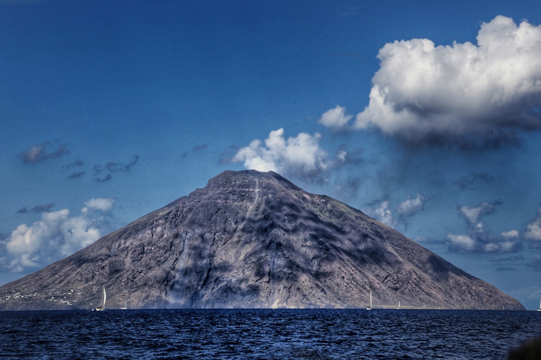
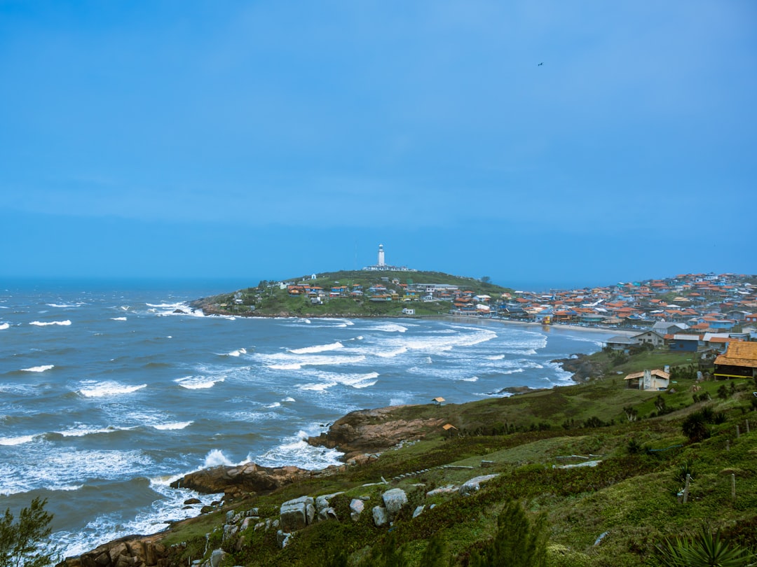
Volcanic island births cluster along arcs and rifts where plates meet, grind, or pull apart. In the Pacific, chains of submarine volcanoes seed pop-up cones that may endure for months or become permanent neighbors to existing islands. Along mid‑ocean ridges, the story is slower and broader, with long curtains of lava welling up to form vast, low profiles. Hotspots add their own rhythm, punching through plates and leaving trails of stepping‑stone islands behind. Each setting writes a local accent into the universal language of fire and water.
Communities adapt in different ways. Some celebrate new fishing grounds; others redraw hazard maps, watching for ash that can foul engines or heavy blocks that can generate local waves. The global picture is varied, but the stakes are shared: safety, livelihoods, and the health of coastal ecosystems.
From Instruments to Insight: How We Measure Change
It’s one thing to witness a blast; it’s another to quantify a coastline while it’s being built and dismantled. Multibeam sonar sweeps the seafloor between eruptions, revealing how cones grow and slump in the dark. Radar satellites track surface height even through ash clouds, logging subtle rises that precede new vents. Gas sensors sniff sulfur and other emissions, translating chemistry into clues about magma depth and vigor. Stitching these layers together turns raw excitement into reliable understanding.
Here’s the quiet revolution: open data and repeat coverage now let small teams punch far above their weight. I’ve watched students compare images from one week to the next and calculate erosion that would take decades on an older coast. The new science is faster, but it’s also more patient, returning again and again to let the island tell its story over time.
The Future Landscape
Tomorrow’s island monitoring will lean on fleets of nimble tools: autonomous boats that can sail into steam, small satellites blinking back hourly updates, and AI models spotting hazards before humans blink. The challenge is synthesis – turning torrents of data into clear guidance for pilots, fishers, and coastal planners. Another hurdle is access; eruptions don’t wait for budgets, and many nations shoulder the burden without the gear they need. Building partnerships that share instruments and expertise will matter as much as any new sensor. If we get it right, the next island won’t just surprise us; it will be a classroom everyone can enter safely.
The implications stretch beyond geology. New land can shift currents, create eddies that trap nutrients, and alter sediment routes along coasts. Those changes ripple into fisheries and coral health, demanding early eyes and honest communication.
Human Footprints: Navigation, Fisheries, and Risk
Brand‑new islands complicate maps, and that has real costs. Ships need updated charts to avoid shoals where a week ago only deep blue water lay, and pilots require clean air corridors when ash threatens engines. Fishers may find sudden bounty around cooling lava benches, where nutrients mix and baitfish gather, and then watch it fade as the seafloor settles. Emergency managers juggle community curiosity with safety, closing off areas even as tourists reach for cameras. The balancing act is messy but necessary, because the ocean does not grant second chances.
Resilience grows from clear routines. Rapid notices to mariners, temporary no‑sail zones, and simple public briefings can turn chaos into orderly caution. The island may be new, but the playbook doesn’t have to be improvised.
How You Can Engage
You don’t need a research vessel to be part of this unfolding story. Follow official geological surveys for alerts, and if you live near active coasts, learn evacuation routes before they’re needed. If you’re an educator, bring fresh satellite images into the classroom and let students trace a shoreline’s weekly shape-shifts. Support conservation zones around emerging islands so early ecosystems get room to evolve without footprints. Even sharing verified information during an eruption helps dampen rumor and keep neighbors safe.
If you have the means, back programs that place instruments in under‑served regions. Small grants can launch a drone, fuel a survey boat, or fund training that gives local teams ownership of their data. It adds up to a smarter, safer ocean neighborhood.
Conclusion
Every new volcanic island is a headline written by heat, water, and time, and we’re lucky to read it as it forms. The science is rigorous, but it’s also deeply human – mariners steering wide, families watching orange glows at dusk, students measuring coastlines on laptops. These places remind us that Earth is not finished, not even close, and that today’s map is a draft. I find that reassuring; change can be dangerous, but it’s also a promise that our planet keeps renewing itself. The work ahead is to watch with care, learn quickly, and share widely. Did you expect geology to feel this alive?

Suhail Ahmed is a passionate digital professional and nature enthusiast with over 8 years of experience in content strategy, SEO, web development, and digital operations. Alongside his freelance journey, Suhail actively contributes to nature and wildlife platforms like Discover Wildlife, where he channels his curiosity for the planet into engaging, educational storytelling.
With a strong background in managing digital ecosystems — from ecommerce stores and WordPress websites to social media and automation — Suhail merges technical precision with creative insight. His content reflects a rare balance: SEO-friendly yet deeply human, data-informed yet emotionally resonant.
Driven by a love for discovery and storytelling, Suhail believes in using digital platforms to amplify causes that matter — especially those protecting Earth’s biodiversity and inspiring sustainable living. Whether he’s managing online projects or crafting wildlife content, his goal remains the same: to inform, inspire, and leave a positive digital footprint.