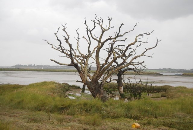
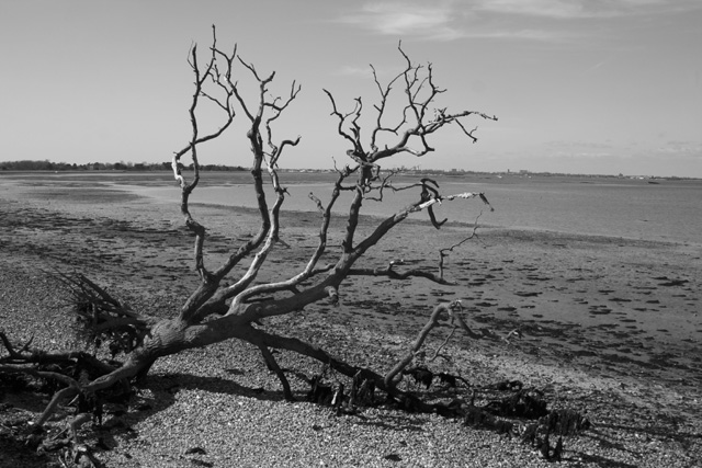
They stand like pale sentinels at the edge of the tide – bleached trunks, bark flaking like ash, roots half-swallowed by brackish water. Scientists call them ghost forests, and they’re spreading in low-lying wetlands where rising seas and sinking land squeeze trees past their limits. The mystery isn’t only why these forests die, but why their skeletons refuse to fall, lingering for years and sometimes decades as if holding a silent line. The answer, it turns out, lies in a mix of chemistry, hydrology, and time – nature’s own archive of a changing coast. What we read in these ed woods could reshape how communities prepare for a wetter future.
The Hidden Clues
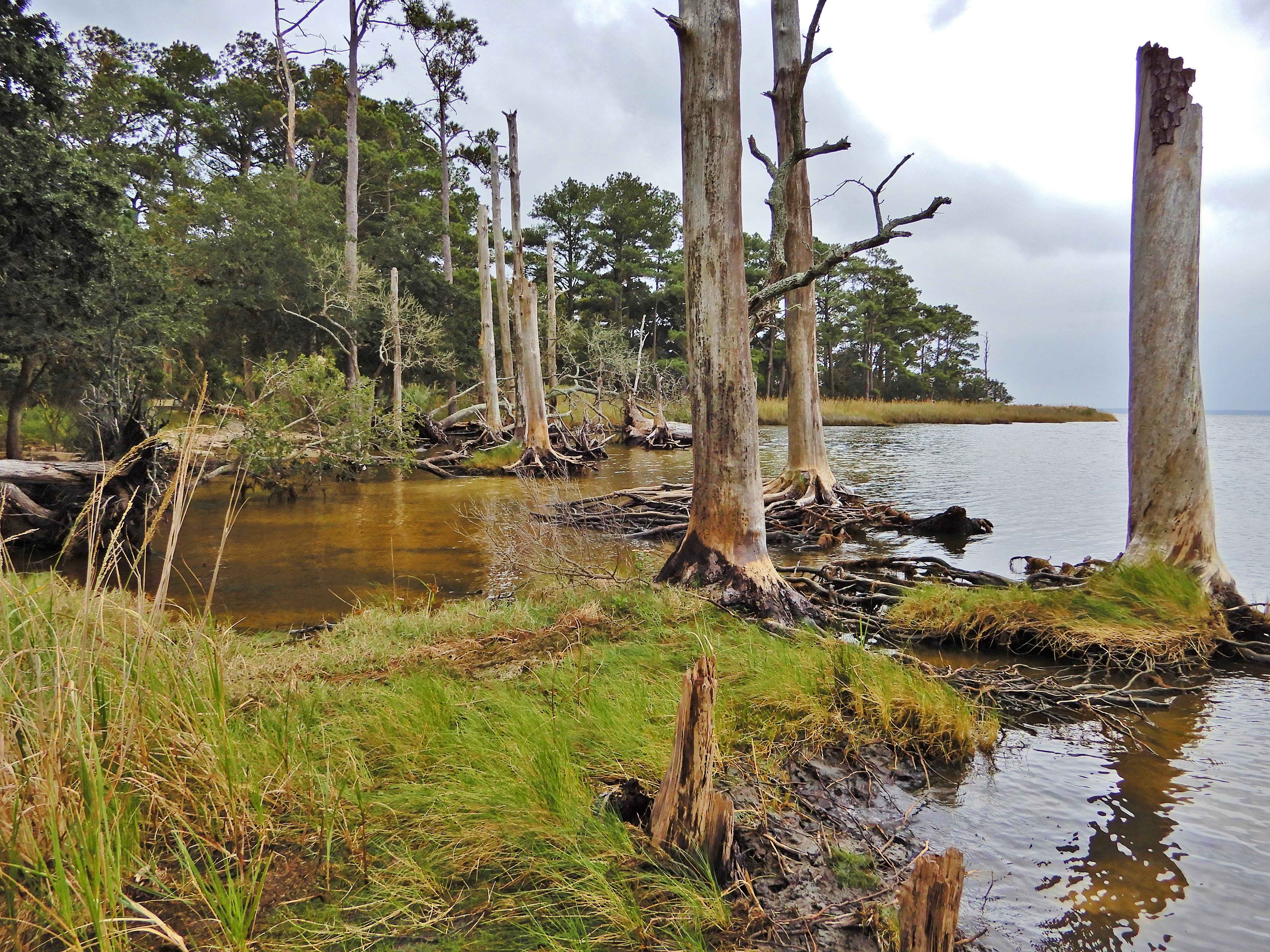
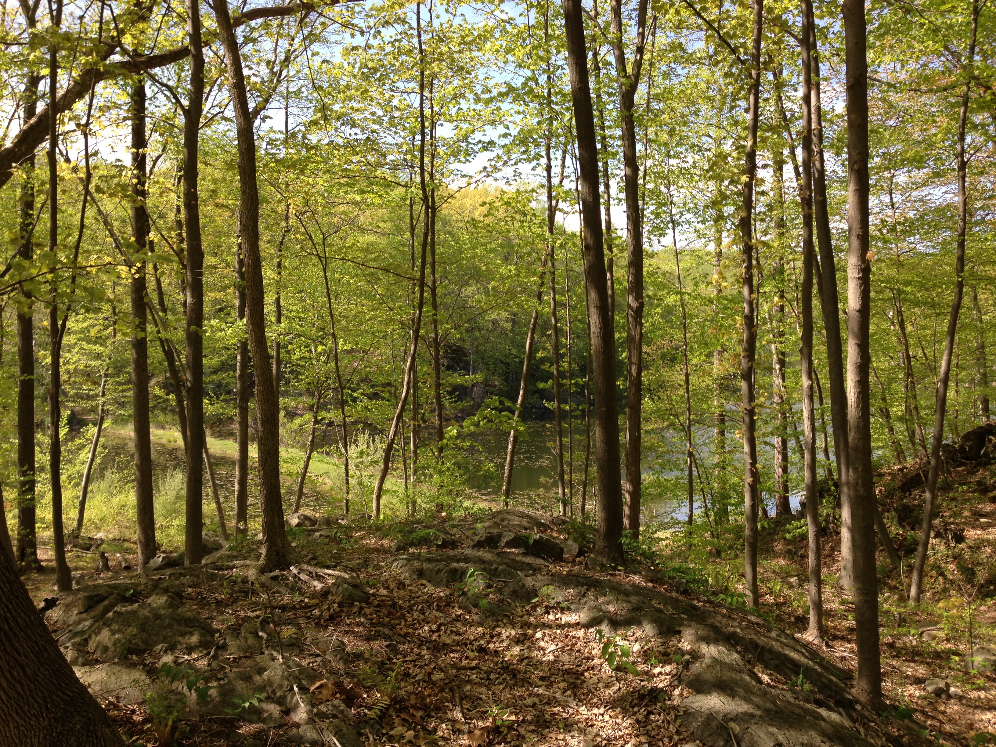
I remember stepping into a Carolina cypress stand where woodpeckers tapped on trunks as rigid as old ship masts, the air salty and sweet with peat. The living canopy had retreated upslope, but the dead remained, silver-gray and stubborn, marking former high ground like mileposts from another century. These trees are not just scenery; they’re evidence, revealing where the freshwater line used to be and how fast salt has advanced. Each snag is a signpost for the last set of tides that a forest could endure before crossing an invisible threshold. Together, they sketch a shoreline that moved, not in a storm’s day, but through years of creeping change.
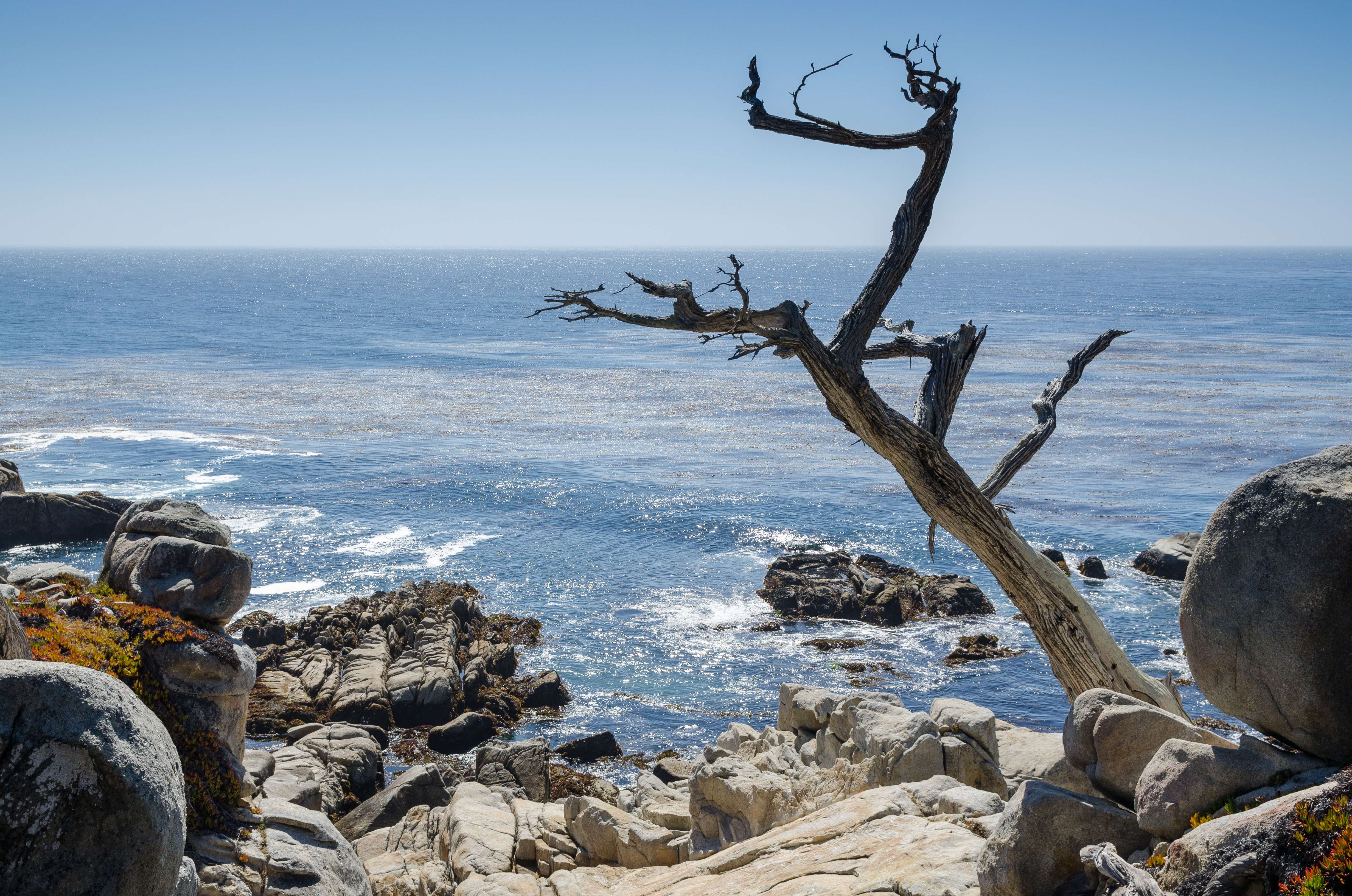
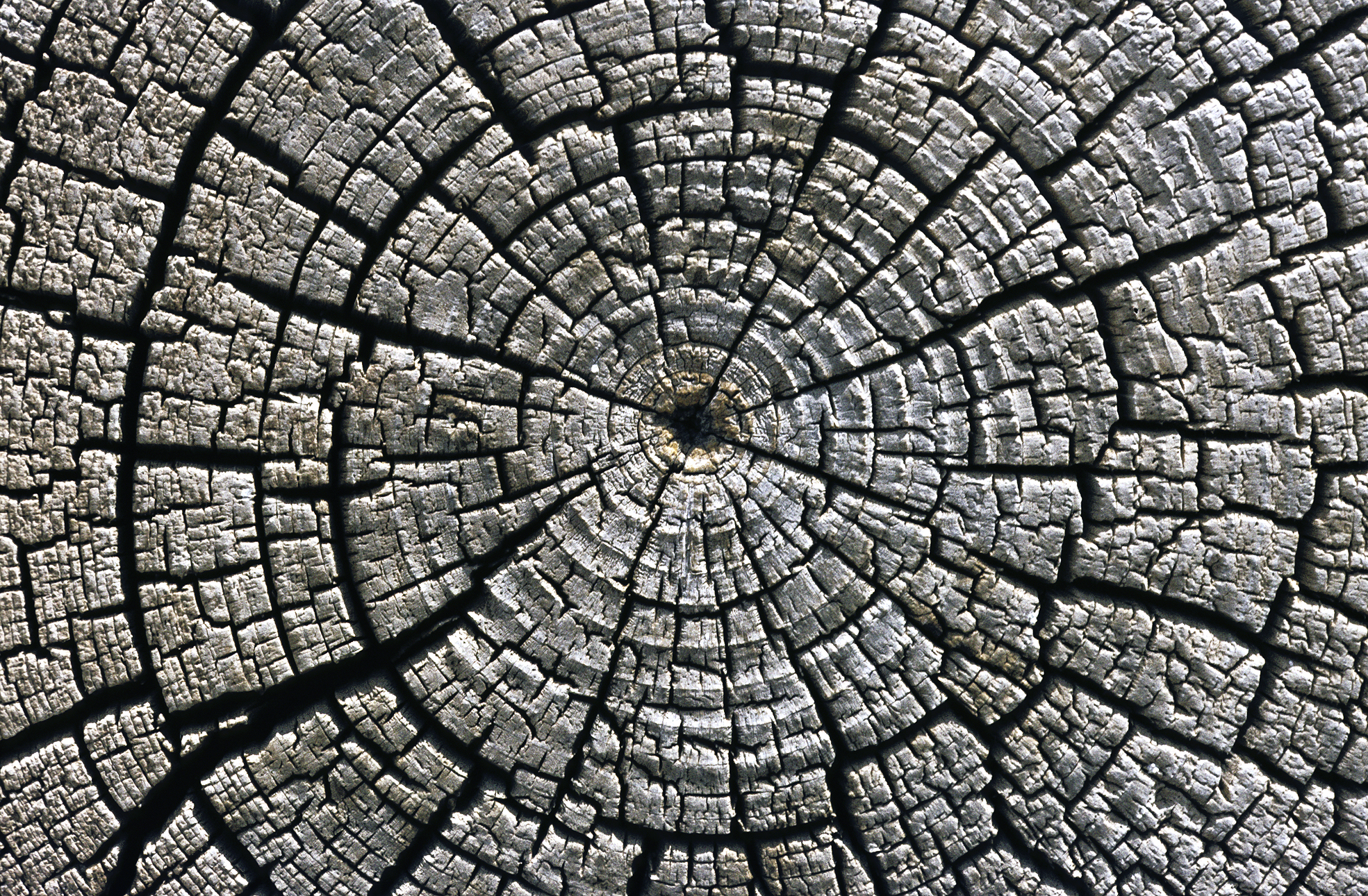
What keeps them upright is the paradox of decay slowed by water and salt – processes that turn fragile wood into durable markers. With fewer wood-boring insects and less oxygen to fuel fungi underground, the usual agents of rot struggle to finish their work. Species like bald cypress and Atlantic white cedar, already rich in decay-resistant compounds, hold shape even longer when saturated. In these edges where marsh meets forest, chemistry conspires with elevation to preserve what would normally fall. The result feels eerie and precise, like a chalk outline drawn by the sea.
Anatomy of a ing Forest
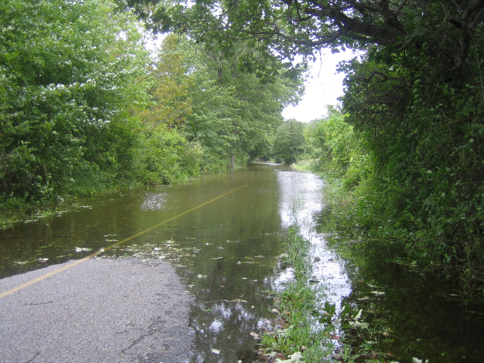
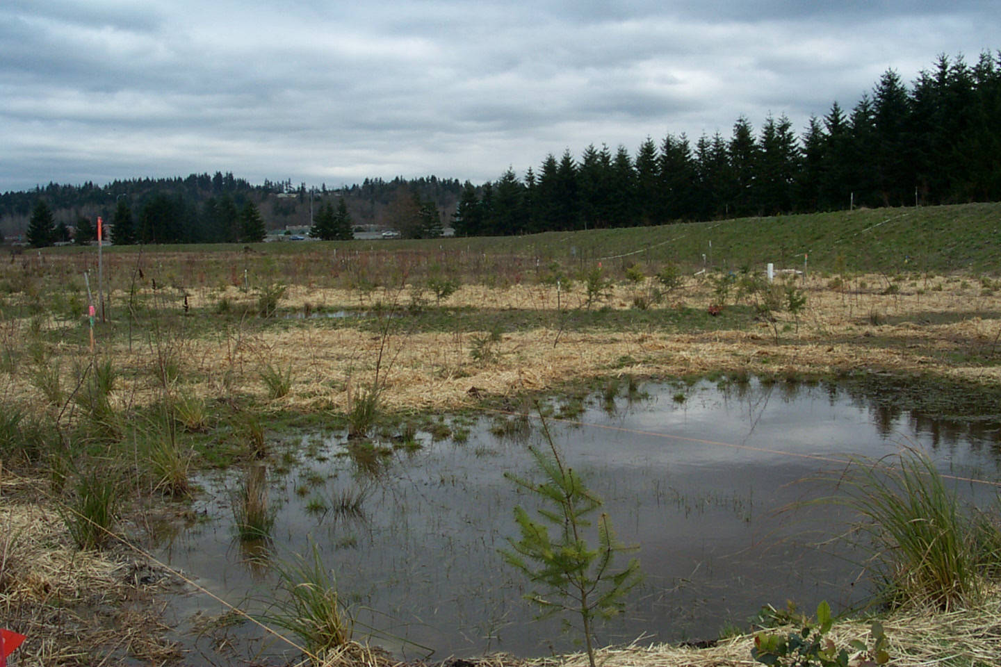
It starts in the roots, where freshwater trees quietly suffocate as salt pushes into groundwater and storm tides ride higher onto the land. Salt crystals interfere with water uptake, while prolonged flooding blocks oxygen exchange in root tissues, causing stress that slows growth and invites dieback. Needles yellow, leaves thin, and new cones or seeds become rare as trees shift energy from growth to survival. Then comes a tipping point: a surge, a season of high tides, or a drought that concentrates salt, and an entire stand turns at once. The living layer beneath the bark – once a highway for sugars – stalls and then stops.
After death, the burial begins in slow motion. Peat holds moisture like a sponge and, along with tannins leached from leaves and bark, creates acidic, low-oxygen pockets that stall decomposition. Salt further discourages many microbes and insects, trimming the cast of decomposers to a sparse few. In colder months, when microbial activity ebbs, the preservation window stretches even wider. Sediment-laden water occasionally lays a thin blanket over roots, tucking them away from hungry organisms. That’s why trunks can persist almost statue-straight while the forest floor subtly sinks and softens beneath them.
From Ancient Tools to Modern Science
The first scientists who mapped ed forests used compasses, boots, and notebooks, comparing old survey lines with where the marsh edge stood. Today the toolkit spans satellites, drones, and laser-based elevation maps that pick out knee-high ridges and shallow ditches with startling clarity. Airborne lidar traces the faint boundary where living canopy thins and dead crowns spike, letting researchers calculate how fast that line moves year to year. Paired with tide gauges and groundwater sensors, these maps turn a scattered cemetery of trunks into a time series of retreat. Add soil salinity probes and you can see the invisible: a salt front creeping inland beneath our feet.
Underwater, sonar can image submerged logs and paleo-stumps that predate written maps, confirming that coastlines have always shifted – even if today’s pace is unusual. Electrical resistivity surveys trace fresh versus saline groundwater, revealing where roots will be stressed next. On the water’s surface, small drones stitch together mosaics of seasonal change, catching a flush of marsh grass where forest stood the previous spring. Each instrument adds a layer, and together they draw a moving portrait with enough detail to guide real decisions. When the dead trees line up with rising salinity and lowering ground, the pattern becomes hard to ignore.
Reading the Rings and the Mud
Inside a ghost tree’s trunk, the final growth rings often narrow, a signature of stress that can pinpoint when salt or floods crossed a threshold. Dendrochronologists core the dead and the living nearby, aligning ring patterns to build a neighborhood timeline of decline. In the wood’s chemistry, stable isotopes can hint at drought years and changes in water sources, while the cellulose records the conditions under which it formed. Down in the soil, layers of peat and silt hold pollen and shells of tiny marsh creatures that reveal a switch from forest to brackish habitat. Stack these clues and you get not just a cause of death, but a narrative with place and date.
Those layers also show how some carbon stays put even as forests die. Waterlogged soils slow decay, trapping organic matter that might otherwise return to the air. Yet newly dead wood above the waterline can release carbon as it weathers, creating a complex ledger that scientists are still balancing. The shift from tree-dominated wetlands to marsh can, over time, build fresh stores of carbon-rich peat, even as the initial die-off pulses emissions. It’s a reminder that nature’s accounting rarely fits on a single page.
Why It Matters
Ghost forests are the clearest roadside billboards for rising water that most coastal communities will ever see. Traditional sea-level graphs and groundwater charts are essential, but a street of dead trees where children once played is unarguable. These stands tell emergency managers where the next flooding hot spots may emerge and show farmers where wells could grow too salty for crops. They alert utilities that wooden poles, septic fields, and access roads built for a drier past now sit in a moving target zone. And they help conservation planners decide where to let marshes migrate and where to reinforce critical infrastructure.
Compared with models alone, ghost forests offer ground-truth that resonates with decision-makers who must justify budgets and timelines. They add urgency without hype, translating millimeters per year into a horizon line you can touch. That clarity can bring disputes to the table sooner – about buyouts, building codes, and living shoreline designs – before the water settles the debate on its own. In practice, they’re both warning and guidepost, making the invisible creep of salt visible from the road. In a decade that favors proof you can point to, few proofs are stronger.
Global Perspectives
While the term took hold on the U.S. Atlantic Coast, similar die-offs are playing out wherever low-lying forests meet rising seas. In the Gulf Coast, freshwater swamps long buffered by river flows have thinned as subsidence and reduced sediment supply let salt intrude. Deltaic regions from the Bay of Bengal to the Mekong report forest-to-marsh transitions that echo the Carolinas, each shaped by local monsoons, dams, and tides. In parts of the Pacific Northwest, storm surges and river mouth changes have set off diebacks along estuarine fringes. Even Europe’s low coasts hold buried stumps revealed at low tide, reminders that the boundary has always wandered.
The drivers vary – land subsidence here, storm clustering there, altered river flows somewhere else – but the pattern feels familiar. Communities that document these changes gain a common language to compare options across continents. What works in one place, like reconnecting a river to its floodplain, may help a distant shore facing equally stubborn salt. And what fails in one delta can save others from repeating the mistake. When ghost forests become a shared dataset, adaptation becomes less guesswork and more exchange.
The Future Landscape
Tomorrow’s tools will watch these transitions with even finer eyes: satellite constellations measuring elevation shifts down to centimeters and radar tracking soil moisture day by day. New groundwater networks will capture the stealthy inland march of salinity that kills trees from below before the tides arrive from above. Machine learning already flags canopy dieback in aerial images, turning thousands of photographs into early-warning maps for counties and tribes. Better, cheaper sensors in ditches and wells will bring real-time data to the front seats of pickup trucks, not just to academic journals. And restoration teams will test designs that give marshes room to migrate while steering floodwaters away from homes.
Still, none of this is automatic. Funding cycles, permitting hurdles, and the natural urge to wait for one more season can slow responses until options shrink. Some places will choose strategic retreat; others will double down on elevating roads, hardening shorelines, or reshaping drainage. Forestry will adapt by planting salt-tolerant species upslope and protecting remaining freshwater refuges like vaults of genetic diversity. The likely outcome is a patchwork coast where forests cede ground in some corridors so that towns withstand storms in others. Ghost forests are the rough draft of that future map, sketched in stark, leafless lines.
Conclusion
You don’t need a PhD to read this landscape – start with your own coastline, river mouth, or back-bay road and look for the pale fence-lines of dead trunks. Share what you see with local planners or watershed groups, because photographs anchored to place and date become powerful records for funding and fixes. Support projects that open floodplains, rebuild wetlands, or replace failing culverts so freshwater can move and salt doesn’t linger where roots breathe. Back monitoring efforts at schools and community science hubs, where students can track salinity, groundwater levels, and canopy health month by month. And if you live inland, remember your vote and your voice shape the policies that set sea-level risk and restoration budgets at every scale.
Most of all, let these stark reminders change how you picture the coast – not as a line to hold at all costs, but as a living gradient that we can guide with care. A ed forest isn’t the end of nature; it’s an urgent margin note asking us to turn the page wisely. Will we read it in time?

Suhail Ahmed is a passionate digital professional and nature enthusiast with over 8 years of experience in content strategy, SEO, web development, and digital operations. Alongside his freelance journey, Suhail actively contributes to nature and wildlife platforms like Discover Wildlife, where he channels his curiosity for the planet into engaging, educational storytelling.
With a strong background in managing digital ecosystems — from ecommerce stores and WordPress websites to social media and automation — Suhail merges technical precision with creative insight. His content reflects a rare balance: SEO-friendly yet deeply human, data-informed yet emotionally resonant.
Driven by a love for discovery and storytelling, Suhail believes in using digital platforms to amplify causes that matter — especially those protecting Earth’s biodiversity and inspiring sustainable living. Whether he’s managing online projects or crafting wildlife content, his goal remains the same: to inform, inspire, and leave a positive digital footprint.


