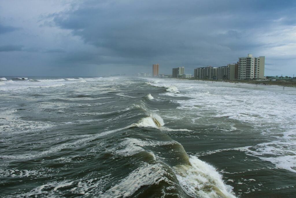
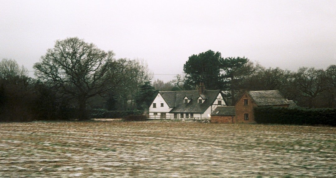
On September 28, 2022, Florida woke to a wall of water and wind that felt almost otherworldly. Hurricane Ian did not just arrive; it rearranged coastlines, rewrote flood maps, and forced a reckoning with how we live on the water’s edge. The mystery wasn’t whether a big storm would eventually come, but why this one became so punishing so fast. The answer lies in a chain of physical dominoes – ocean heat, track shifts, shelf geometry, and human choices – that lined up with unnerving precision. Understanding those links isn’t just postmortem analysis; it’s a survival manual for the next storm with our name on it.
The Hidden Clues
The roots of Ian’s power were planted in bath-warm Caribbean waters and the steamy Gulf, where the ocean stored energy like a charged battery. Far beneath the surface, heat wasn’t just skin-deep; it extended dozens of meters down, meaning churning winds could not easily cool the sea and starve the storm. Wind shear – those disruptive crosswinds that can shred hurricanes – stayed relatively tame at key moments, giving Ian the quiet airspace it needed to organize. Put simply, the atmosphere rolled out a runway, and the ocean fueled the takeoff.
Size mattered too: Ian’s sprawling wind field tapped a broader swath of ocean, pulling in more moisture and building more surge. I remember walking a post-storm street after a different hurricane years ago and noticing the smell – salt, pine, and gasoline – an eerie reminder that the ocean can spill into everyday life when the balance tilts. Ian tilts that balance by design: when deep heat, light shear, and wide circulation align, the result is a storm that can strengthen faster than most communities can adapt.
A Path That Shifted Overnight
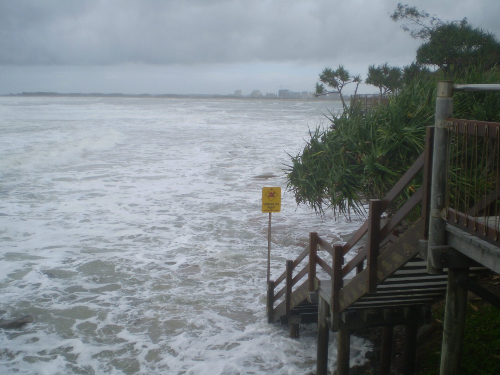
Track forecasts for Ian improved compared with past decades, yet small wobbles still had huge consequences for who took the hardest hit. As the storm neared Florida’s west coast, shifts of only a few dozen miles meant the difference between damaging winds and catastrophic surge. Residents watched the projected cone creep south, then north, then back again – a reminder that the cone outlines the center’s uncertainty, not the vast footprint of impacts. The storm also slowed near land, prolonging battering seas and piling water into bays and rivers with each relentless tide cycle.
That nearshore stall was a double punch: it extended the wind assault while letting surge find every weak point in seawalls, dunes, and back-bay neighborhoods. Evacuation timing became a tightrope because rapid changes collided with everyday constraints – traffic, caregiving, pets, and the maddening human tendency to wait for one more update. In these hours, Ian morphed from a powerful hurricane into a precision flood event aimed at low-lying, densely built coastline.
Surge Over Wind: Shallow Shelf, Deep Trouble
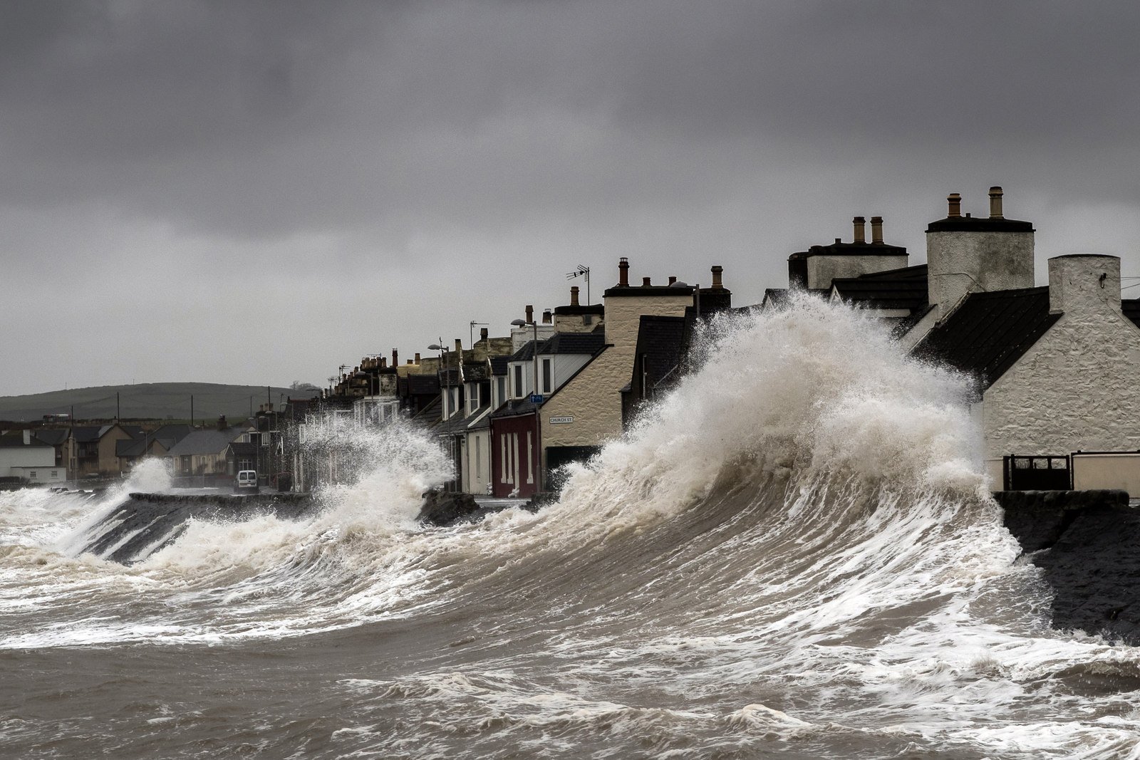
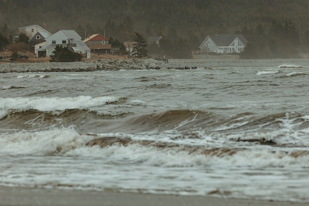
For many Floridians, the most shocking force wasn’t the screaming wind but the sudden rise of the sea. The eastern Gulf’s broad, shallow continental shelf acts like a giant ramp, letting storm-driven water stack up and push ashore more efficiently than on steeper coasts. Barrier islands – Florida’s beautiful but fragile front line – offered limited protection once channels and inlets opened pathways for water to invade back bays and canals. In places like the lower Caloosahatchee, surge moved like a fast tide with bad intentions, funneling through neighborhoods not built for such heights.
Wind still inflicted enormous damage, but water carried the knockout power because it goes everywhere gravity allows. Homes elevated for rainfall struggled when water arrived sideways, over land and through doors, not just down from the sky. The distinction matters: building for wind alone is like wearing a helmet without a life jacket when the field becomes a lake.
The Rain Machine and Inland Floods
Ian’s story did not end at the beach; it rolled inland as a prolific rainmaker. Tropical cyclones are heat engines that convert warm ocean moisture into torrents of rain, and Ian squeezed out deluges across central Florida’s rivers and swamps. When soils are saturated and rivers already high, even a few inches can tip the system, but Ian delivered far more in concentrated bands. That set up compound flooding – surge along the coast, river floods inland, and swollen backwaters in between – leaving communities stranded by water coming from every direction.
Roads failed where culverts clogged, and neighborhoods far from the surf line discovered they were part of the floodplain after all. This is the rain lesson many overlook: the hurricane category on the Saffir–Simpson scale says nothing about rainfall, yet rain often drives the greatest area of disaster. Ian turned that blind spot into a map of submerged interstates and isolated towns.
From Ancient Tools to Modern Science
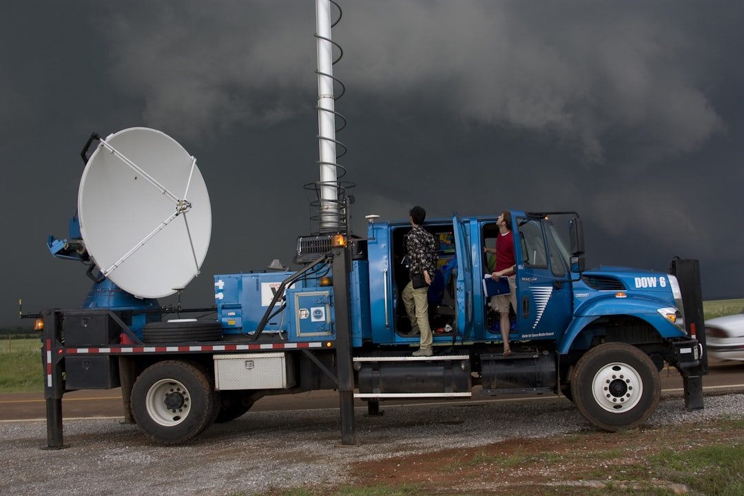
Centuries ago, people read storms in pressure drops and cloud halos; today, forecasters peer into hurricanes with satellites, radar, airplanes, and ocean robots. Specialized sensors called dropsondes parachute through the eyewall, sampling temperature, humidity, and wind, while microwave satellites measure rain structure hidden by clouds. High-resolution computer models digest those data, simulating billions of interactions between sea and sky to predict track and intensity. For Ian, the science captured the broad threat days ahead, but pinpointing surge in specific neighborhoods remained a thorny challenge.
Communication still lags the physics: many residents fixate on the cone and category, even though surge and rain lack a simple number. Risk messages that cling to wind speed miss the hazards that actually drown communities and decimate homes. The science is there, but the translation – turning probabilities into decisions at kitchen tables – remains the hardest part.
Why It Matters
Ian exposes a collision between climate, coasts, and choices. Sea level is higher than it was a generation ago, which quietly raises the floor for surge and nuisance flooding, even on bright blue days. Rapid coastal growth has placed more people and property in zones where retreating water has nowhere to go, turning routine storms into expensive disasters. Compared with historic landfalls like Charley or Andrew, Ian’s profile shows how water, not just wind, now drives the heaviest losses.
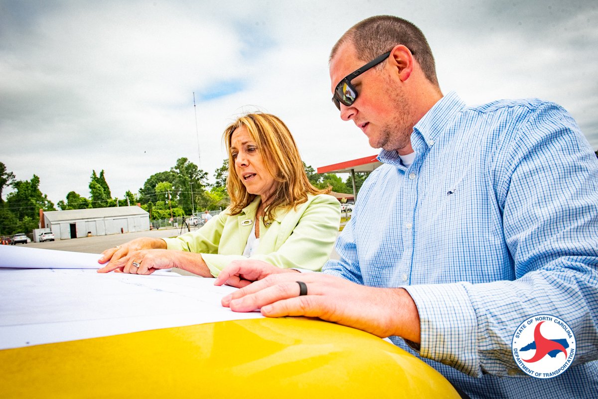
Florida’s building codes have improved, yet vast neighborhoods predate modern standards or sit low enough that elevation, not just stronger roofs, becomes the deciding factor. Insurance and infrastructure, from wastewater plants to substations, must be rethought for a world where water arrives from the front door, the back bay, and the sky at once. The cost of doing nothing isn’t abstract; it’s measured in months of displacement and the quiet erosion of local economies.
The Future Landscape
Looking ahead, warmer oceans and moister air increase the odds that some hurricanes will intensify quickly and wring out heavier rains. That does not mean more storms every year, but it does shift the distribution toward higher-impact outliers, especially when tracks angle into shallow-shelf coasts. Forecasting is racing to keep up: next-generation models blend physics with machine learning, while denser ocean observations aim to catch subsurface heat that primes storms. Street-level surge maps are becoming dynamic, updating as tides, wind direction, and rainfall evolve.
Adaptation will decide outcomes as much as forecasts. Elevating homes and utilities, restoring mangroves and dunes, and designing roads and pumps for compound floods can turn catastrophe into disruption. Microgrids and buried power lines shorten outages; voluntary buyouts open room for water to spread without wrecking lives. The smartest future is not armored against water; it is arranged to let water pass safely.
How You Can Help
Start by learning your risk beyond the hurricane category: check your evacuation zone, your elevation, and your flood history, then plan for surge and rain, not just wind. Review coverage closely because a standard policy often excludes flood, and consider where your car and critical documents will live if water rises. Talk with neighbors about evacuation triggers well before the season, and remember that leaving early is a transportation strategy, not just a safety choice. If you stay, think like water – seal low vents, lift valuables, and keep batteries and medication in dry, reachable places.
Support local resilience projects that make a difference at street scale, from mangrove plantings to improved drainage and raised walkways. Encourage leaders to pair modern building codes with equitable programs that help older homes adapt, not just new construction. And after the skies clear, share what worked and what failed so the next plan is better than the last – because the next plan always matters most. Did you expect that the smallest choices, stacked together, could bend the arc of a superstorm’s impact?

Suhail Ahmed is a passionate digital professional and nature enthusiast with over 8 years of experience in content strategy, SEO, web development, and digital operations. Alongside his freelance journey, Suhail actively contributes to nature and wildlife platforms like Discover Wildlife, where he channels his curiosity for the planet into engaging, educational storytelling.
With a strong background in managing digital ecosystems — from ecommerce stores and WordPress websites to social media and automation — Suhail merges technical precision with creative insight. His content reflects a rare balance: SEO-friendly yet deeply human, data-informed yet emotionally resonant.
Driven by a love for discovery and storytelling, Suhail believes in using digital platforms to amplify causes that matter — especially those protecting Earth’s biodiversity and inspiring sustainable living. Whether he’s managing online projects or crafting wildlife content, his goal remains the same: to inform, inspire, and leave a positive digital footprint.