When rivers in the American Midwest break their banks, the story isn’t just about water. It’s about memory, soil, engineering, and the quiet arithmetic of a changing climate adding up behind the scenes. For decades, towns have measured life by crests on gauges and marks on kitchen walls, yet the scale and speed of recent floods feel different. Scientists are decoding why, and the answers point to a complex mix of atmospheric shifts, land-use choices, and aging infrastructure. This is a tale of how floods carve themselves into maps and minds – and how we might redraw both.
The Long Memory of Water
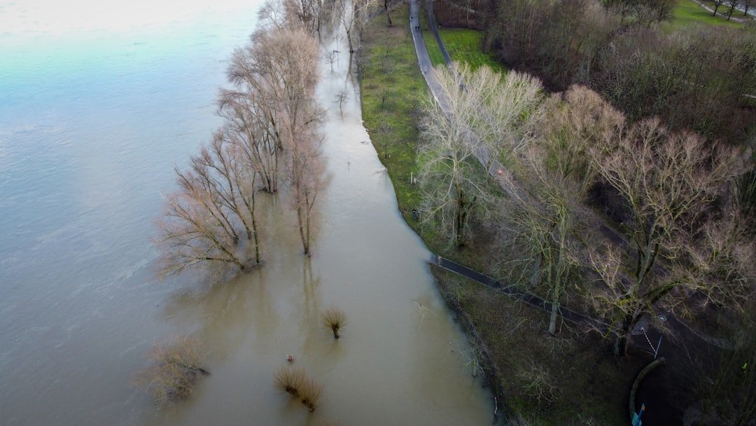
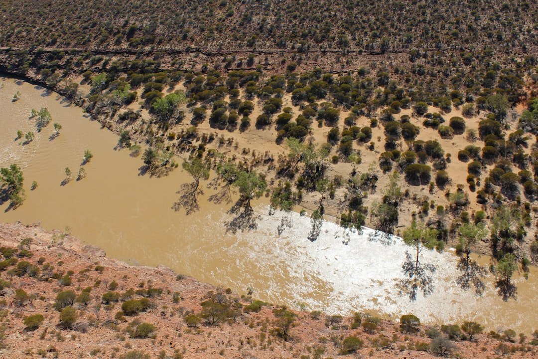
Floods in the Midwest don’t simply arrive; they accumulate, like a chorus repeating a theme in a rising key. Snowmelt stacks on saturated ground, then a stalled storm line drops torrents, and rivers knit those threads into a single surge. Along the Missouri and Mississippi, every bend, levee, and backwater remembers past flows, guiding the next one like a groove in vinyl. That’s why a “surprise” crest often follows a familiar path, even as it sets new records.
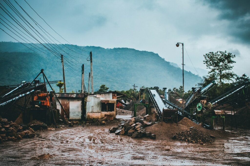
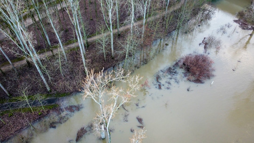
Geologists call this landscape a floodplain for a reason: periodic inundation is part of its operating manual. When we pave, drain, and confine it, we silence the parts of the system that once stored water like a sponge. The result is a sharper, faster hydrograph – peaks rising higher, windows to respond growing shorter. In plain terms, water that once lingered now lunges.
The Hidden Clues
To see the future, researchers read the past embedded in tree rings, buried sand layers, and abandoned oxbows. Cottonwoods record wet years as wider bands, while cores from riverbanks reveal stacks of old flood deposits, a stratified diary of big water. Even the geometry of meanders stores clues, with cutoff loops and point bars sketching centuries of channel change. These aren’t dusty artifacts – they are instruments, tuned to the tempo of rivers.
Satellites add a wide-angle lens, tracking soil moisture, snow cover, and storm clusters that act like conveyor belts. Lidar maps show where floodwater naturally wants to go, often disagreeing with painted lines on old maps. Step by step, these clues refine probabilistic flood estimates, transforming “hundred‑year” from a myth into a measurable, moving target. It’s detective work with mud under the fingernails.
From Ancient Tools to Modern Science
Sandbags and levees remain the Midwest’s old reliables, but the toolbox has expanded. Dual‑polarization radar now peers inside thunderstorm cores, sharpening rainfall estimates in real time. River models ingest these data alongside snowpack, temperature, and upstream storage to simulate where, when, and how high water will rise. The result is a living forecast rather than a static warning.
High‑resolution mapping, machine learning, and open river gauges push foresight to the neighborhood scale. Farmers tap tile‑drain sensors and soil probes to time fieldwork and reduce runoff, and some counties use smart gates to stage stormwater like a conductor pacing a symphony. It’s still hard, imperfect work, but the shift from reactive to anticipatory is unmistakable. In flood science, minutes matter; now we’re finding them.
When Levees Shift the Risk
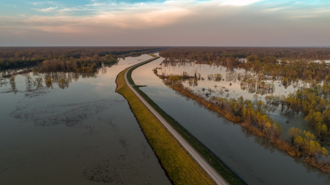
Levees save towns, but they also relocate danger, often downstream or across the river. By pinching rivers into narrower corridors, levees speed up flows and raise stages for the same volume of water. That creates the paradox of protection: the safer we feel inside the wall, the more catastrophic a breach or overtopping can be. The floodplain doesn’t disappear; it just waits on the other side of the levee.
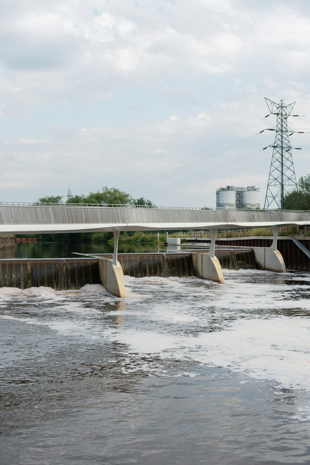
Engineers increasingly blend structural and nature‑based fixes – setback levees, side‑channel reconnections, and restored wetlands that bleed off peak flows. Think of it like widening the shoulders on a highway instead of only building taller guardrails. Such designs accept that some land will flood by choice so that neighborhoods don’t flood by surprise. It’s a trade, and it pays dividends when the rain doesn’t blink.
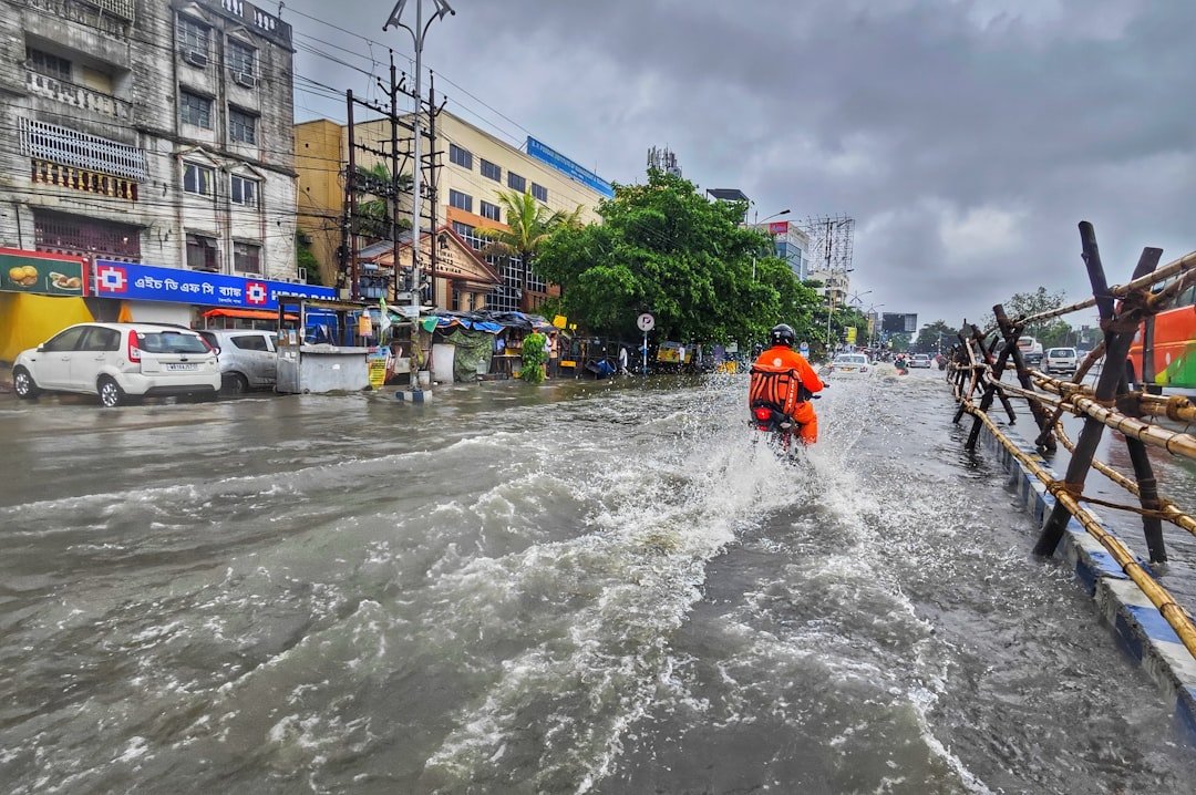
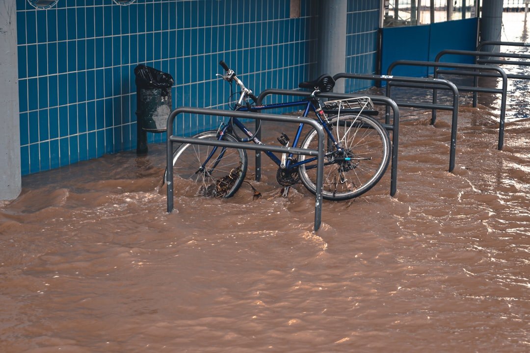
Communities on the Line
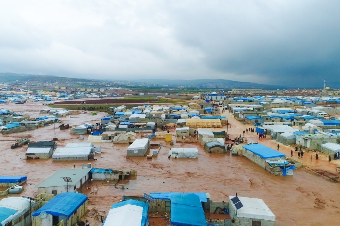
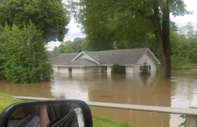
Every crest has a human texture: detours around washed‑out bridges, grain elevators idled by soggy fields, and schools turned into sandbag depots. Drinking‑water plants fight upstream turbidity; hospitals plan helicopter routes when roads vanish; small businesses face cleanups that outlast news cycles. Buyouts offer escape for some homeowners, while others anchor to place, patching drywall and soul in the same weekend. The burden rarely lands evenly, and that inequity shapes the region long after the water recedes.
I still remember standing on a levee at dusk, listening to the river thud against the riprap like a slow heartbeat. People passed buckets in a line, quiet and determined, while a storm shelf rolled in from the west. That moment distilled the Midwest’s resilience: practical, stubborn, and laced with neighborly grace. But resilience is not a plan; it’s the strength you bring to one.
Why It Matters
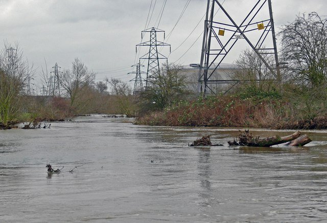
This isn’t only about river towns; it’s about food, freight, and the arteries of a continental economy. Barges move grain and fertilizer along these corridors, and when channels close, prices ripple outward to kitchen tables and global markets. Highways, rail spurs, and pipelines stitched along valleys become chokepoints when floodwater stretches over the map. The effects stack, turning a local disaster into a national headache.
Traditional flood control aimed to keep water out at all costs, emphasizing higher walls and straighter channels. Modern thinking adds risk reduction: mapping exposure more precisely, designing for failure, and letting water occupy safe places on purpose. It’s the difference between defiance and choreography. When we choose choreography, recovery starts before the rain falls.
Global Perspectives
The Midwest’s story echoes in far‑flung valleys where stalled storms and swollen catchments have rewritten flood records. Mountain snowpacks are melting earlier in many regions, showing how timing can be as dangerous as totals. Urban expansion onto floodplains is a shared vulnerability, from central Europe to South Asia, where concrete outruns planning. In each case, the physics stays consistent even as the politics change.
What travels well are solutions: early warnings that reach every phone, room for rivers carved back into plans, and insurance that reflects real risk rather than wishful lines on old maps. Exchanges between basin managers across continents are less about hero projects and more about thousands of small, practical moves. The Midwest learns, and it teaches, often in the same season. Rivers, after all, are global teachers with local dialects.
The Hidden Mechanics of Extreme Rain
Warm air stores more moisture, and the Midwest’s summer storm engines are running on a richer fuel mix. Soupy dew points feed nocturnal thunderstorm complexes that train over the same counties, wringing out inches before dawn. Add a sluggish jet stream that stalls storm tracks, and you get rainfall totals that once felt rare landing more often on calendars. Compounding hazards – rain on snow, saturated soils, or full reservoirs – turn heavy rain into historic flood.
Land use amplifies the signal: fast tile drains, compacted soils, and lost wetlands speed water into channels. By the time it arrives, the crest is a product of both sky and ground, atmosphere and engineering. Understanding that partnership is the key to breaking the cycle of surprise. It points us toward fixes that tackle both halves at once.
The Future Landscape
Expect flood risk to keep shifting, not only rising, as climate patterns, farming choices, and urban growth recalibrate basins. Return‑period language will grow less intuitive, nudging planners toward risk ranges and scenario playbooks rather than single thresholds. Forecasts will tighten as ensembles ingest better radar, more gauges, and citizen observations streaming from phones and low‑cost sensors. New maps will look dynamic, more like weather than a static atlas.
Meanwhile, green infrastructure will move from pilot projects to routine specifications: floodable parks, reconnected side channels, and farm programs that reward soil sponge power. Buyouts will cluster into connected open spaces instead of checkerboards of empty lots. And levee strategies will adopt a kinder geometry, stepping back where feasible to let rivers exhale. The goal isn’t control; it’s coexistence with fewer unpleasant surprises.
Conclusion
Start by knowing your real exposure: not just your address on a map, but where water naturally wants to go and how you’d get out if it did. Ask local officials how forecasts translate to street‑level plans, and support projects that store water in safe places – wetlands, floodable parks, and setbacks that tame peaks. If you farm, consider practices that keep soil open and thirsty; if you own a home, check pumps, elevate utilities, and treat flood insurance as a tool, not a luxury. Small steps add up when the whole watershed pitches in.
Most of all, vote for leaders and budgets that modernize the quiet infrastructure beneath warnings, from gauges to maps to maintenance. Rivers will keep telling their stories; we can choose how well we listen and how wisely we reply. The next crest is always writing itself upstream – will we be ready when it arrives?

Suhail Ahmed is a passionate digital professional and nature enthusiast with over 8 years of experience in content strategy, SEO, web development, and digital operations. Alongside his freelance journey, Suhail actively contributes to nature and wildlife platforms like Discover Wildlife, where he channels his curiosity for the planet into engaging, educational storytelling.
With a strong background in managing digital ecosystems — from ecommerce stores and WordPress websites to social media and automation — Suhail merges technical precision with creative insight. His content reflects a rare balance: SEO-friendly yet deeply human, data-informed yet emotionally resonant.
Driven by a love for discovery and storytelling, Suhail believes in using digital platforms to amplify causes that matter — especially those protecting Earth’s biodiversity and inspiring sustainable living. Whether he’s managing online projects or crafting wildlife content, his goal remains the same: to inform, inspire, and leave a positive digital footprint.