Storm stories have a way of outliving the storms themselves, and Atlantis is the loudest survivor of them all. The legend promises a lost super-civilization swallowed by the sea, a neat explanation for ruins and ridges glimpsed beneath blue water. Yet as archaeologists scan the seabed with millimeter precision, the picture that emerges is messier and far more interesting. Real cities did sink, stone causeways do lie offshore, and entire landscapes once walked by people now rest under waves. The mystery isn’t whether a single wonder vanished, but how oceans keep our past just out of reach – and how new science is dragging it back into the light.
The Hidden Clues
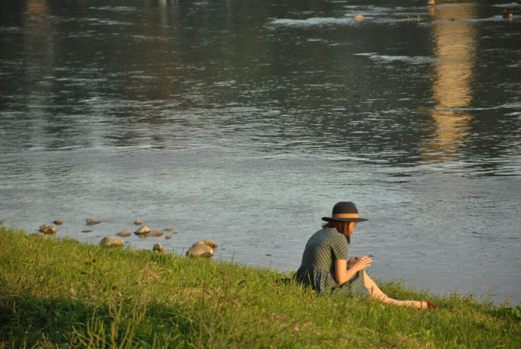
Start with this: a large portion of the world’s ancient coastlines are now underwater, shifted by post–Ice Age seas that climbed over 120 meters since the Last Glacial Maximum. If you stand on today’s beaches, you’re looking at a moving finish line, not a fixed stage, which means early harbors, homes, and sacred places often ended up offshore. That alone can make any diver’s discovery feel legendary, especially when stone blocks and straight edges appear through the haze.
But “straight” doesn’t always mean “human.” Currents can fracture and align rock into tidy benches, and microbial processes can sculpt pillars that mimic architecture. The art of solving Atlantis-like puzzles begins with separating geology’s tricks from humanity’s fingerprints, a job that blends careful fieldwork with patient skepticism.
From Ancient Tools to Modern Science
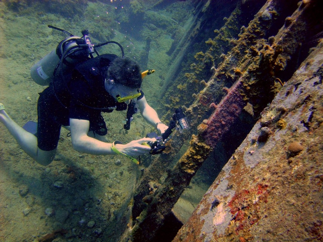
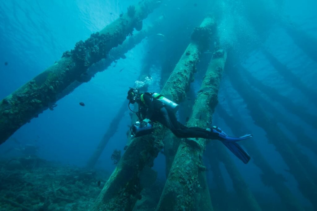
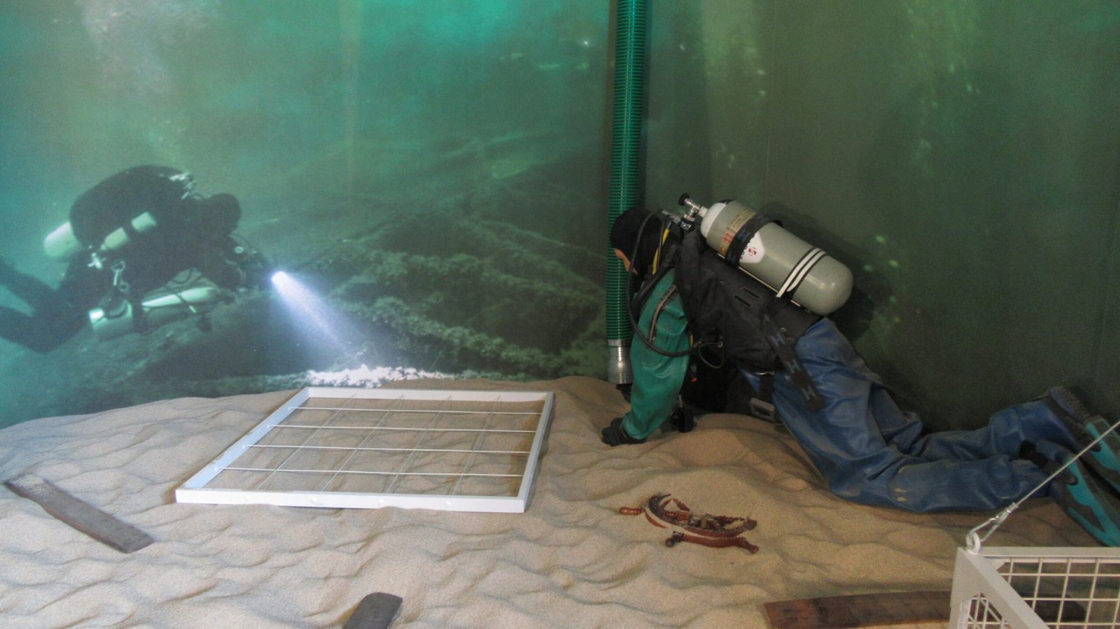
Today’s underwater archaeology is a symphony of sensors, not guesswork. Multibeam and side-scan sonar sweep the seafloor, sketching walls, ship hulls, and terraces in textured relief, while sub-bottom profilers peer below sediments for buried foundations. Autonomous and remotely operated vehicles then hover in, capturing photogrammetric imagery that lets researchers rebuild ruins stone by stone on a laptop.
Dating follows the images. Radiocarbon analysis pins down organic materials like wood or rope, while optically stimulated luminescence reveals when sand last saw sunlight. Add microfossils, ancient shore-level markers, and even the chemistry of Roman marine concrete, and investigators can place a site on the clock with striking confidence.
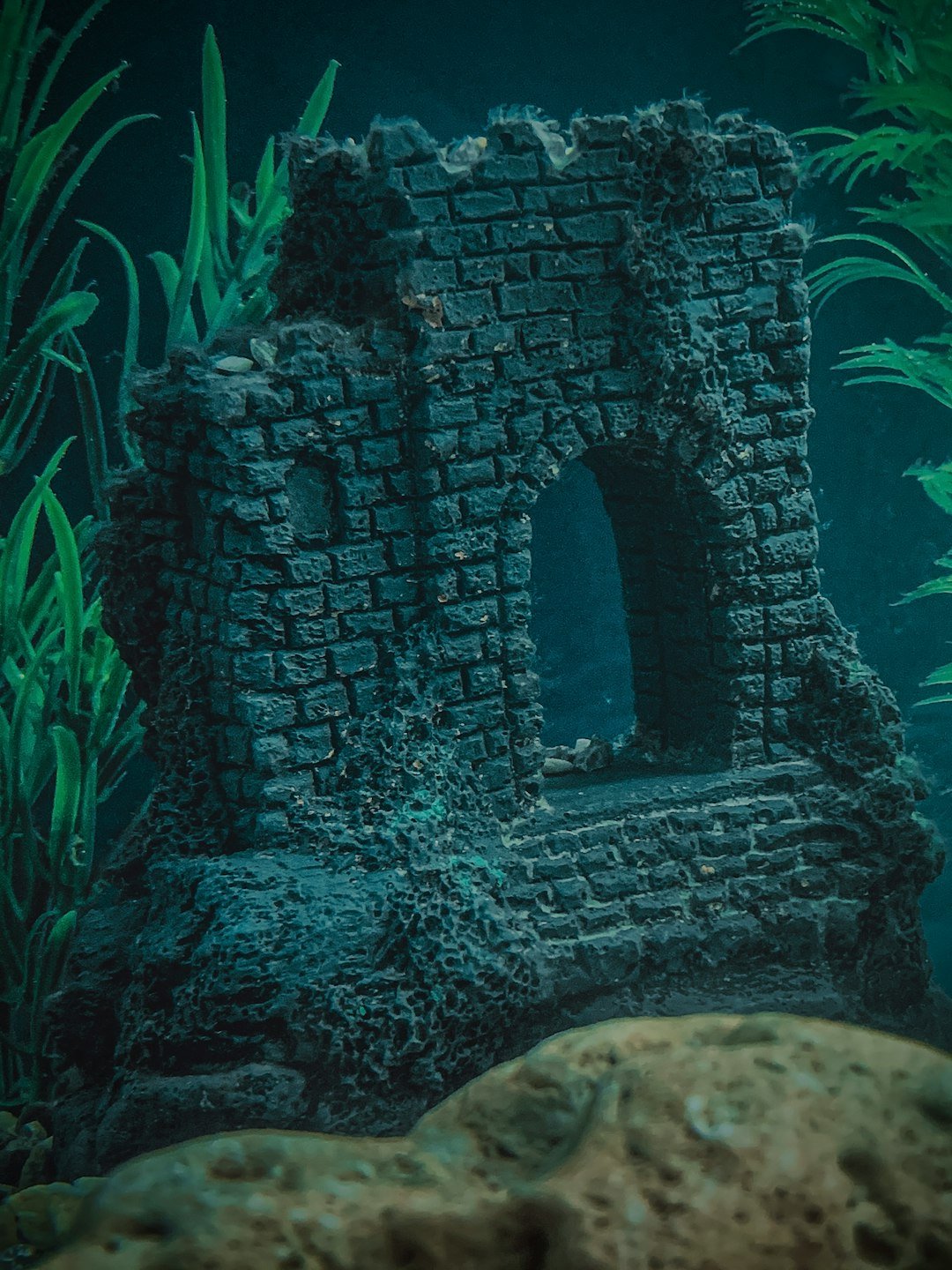
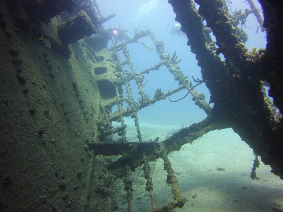
Stone Cities That Really Sank
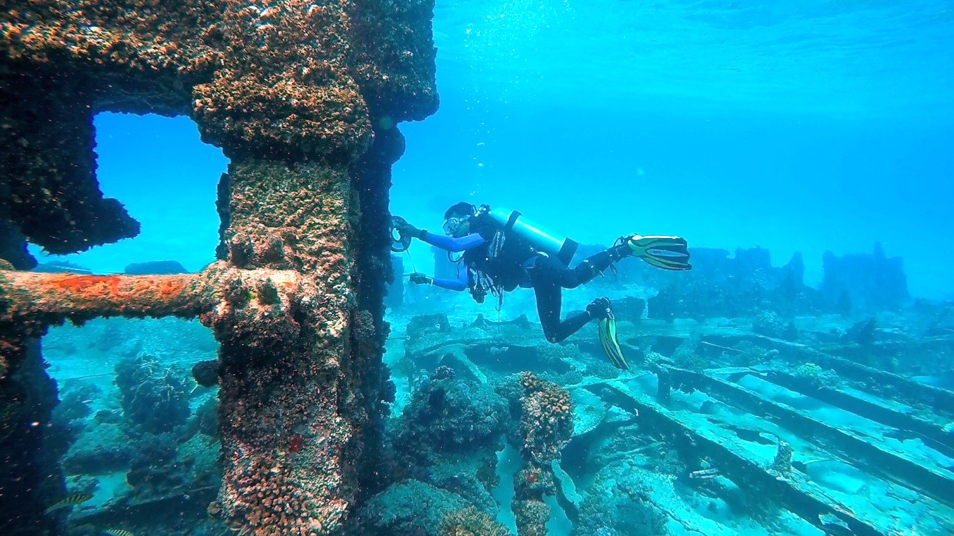
Several places prove that the sea can erase a town and leave its map intact. Off Greece, the settlement of Pavlopetri preserves streets, courtyards, and tombs, offering a remarkably crisp snapshot of daily life long before classical temples rose on shore. Near Naples, the lavish Roman resort of Baiae sits submerged, mosaics and villas now patrolled by fish instead of emperors.
Egypt’s Thonis-Heracleion – once a gateway to the Nile – sleeped for centuries in the bay’s silt until modern surveys picked out fallen statues and docks. And in the Caribbean, a portion of Port Royal slid into the water during a violent 17th-century earthquake, leaving a time-capsule cityscape that divers can still navigate. No single site unlocks Atlantis, but together they show how ordinary places can become extraordinary the moment the waterline moves.
Nature’s Lookalikes
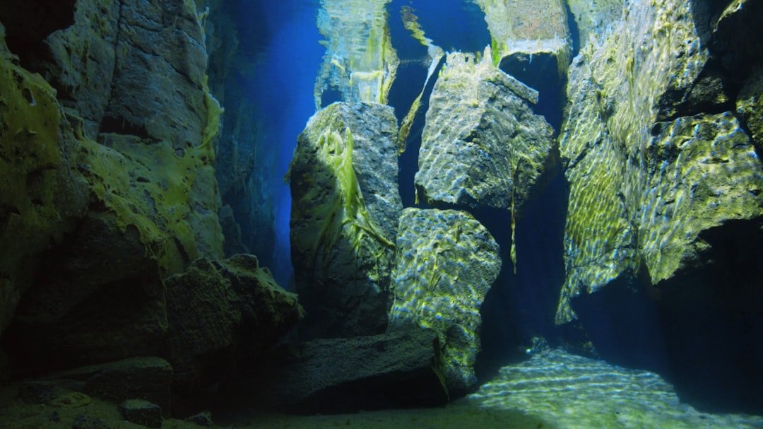
Some of the most hyped “Atlantis proofs” turn out to be beautiful geology wearing a human mask. The Bimini Road in the Bahamas – long touted as a causeway – matches the pattern of beachrock fractured and eroded into tidy, block-like slabs that naturally stack and step. Japan’s Yonaguni Monument, with its dramatic terraces and right angles, sits at a crossroads where tectonics, currents, and jointed sandstone can create striking shapes without a chisel.
Even in the Mediterranean, supposed columns off a Greek island were reinterpreted as formations built by microbes around gas seeps, not as marble castaways from a lost port. None of this kills the romance; it refines it. The more we learn to read the sea’s handwriting, the better we get at spotting where humans truly edited the page.
Global Perspectives
Look beyond the headlines and a quieter story spans continents. In the North Sea, researchers map the drowned plains of Doggerland – once rivers, lakes, and camps – now a fishing ground that occasionally snags ice-age tools. Under Lake Huron, stone alignments used for prehistoric hunting show how people engineered the landscape when present-day shorelines were miles away.
Around Australia, traces of ancient Aboriginal sites lie beneath shallow waters, keeping memory with rock art now near the tide line on land. In the Black Sea, oxygen-poor depths preserve shipwrecks with wood and rope intact, a museum without walls or opening hours. These places don’t solve Atlantis; they answer a deeper question: what did people do as the seas rose, and how did cultures adapt when coastlines turned to horizons?
Why It Matters
This isn’t just myth-busting; it’s a new chapter in understanding how humans handle environmental change. Submerged sites record relocation, trade reroutes, and the birth or death of ports, offering case studies for modern cities watching the water creep higher. Compared with land digs, underwater contexts can be startlingly well sealed, preserving fragile materials that would rot or burn ashore.
There’s also a hard-nosed policy angle. Coastal planning benefits when we can reconstruct ancient shorelines and storm behaviors, making risk maps smarter and infrastructure spending less blind. Heritage laws, meanwhile, must catch up to a world where treasure hunting, trawling, and climate stress can erase evidence faster than research ships can arrive.
The Future Landscape
What comes next looks like the ocean’s version of a planetary survey: fleets of affordable, autonomous robots quietly mowing the seafloor with sonar and cameras, then handing their data to machine-learning systems trained to spot walls, anchor stocks, and tool-littered workspaces. Light-based, shallow-water lidar will fill gaps along reefs and lagoons, while sub-bottom imaging grows sharper, teasing out buried streets beneath layers of sand. Low-disturbance sampling, from sediment cores to environmental DNA, will help match artifacts to species and climate signals without heavy excavation.
The challenges are as real as the tech is dazzling. Funding rarely keeps pace with coastline losses, looting scars sites, and warming seas alter chemistry in ways that threaten preservation. International collaboration – and common rules – will decide whether the next decade becomes a golden age of discovery or a catalogue of preventable disappearances.
From Ancient Tools to Modern Science
Ancient builders left fingerprints that technology now reads with surprising clarity. Tool marks on stone, alignments keyed to prevailing winds, and anchor points cut for boats help distinguish a quay from a rocky shelf. When drone-mapped coastlines link perfectly to offshore foundations, patterns click into place like the last pieces of a puzzle.
Material science has its say, too. Roman marine concrete, which uniquely strengthens in seawater, flags ports and breakwaters on contact, while volcanic ash signatures trace supply chains across the Mediterranean. Layer by layer, the myth narrows to the measurable, and the measurable opens a richer story than a single drowned utopia ever could.

Suhail Ahmed is a passionate digital professional and nature enthusiast with over 8 years of experience in content strategy, SEO, web development, and digital operations. Alongside his freelance journey, Suhail actively contributes to nature and wildlife platforms like Discover Wildlife, where he channels his curiosity for the planet into engaging, educational storytelling.
With a strong background in managing digital ecosystems — from ecommerce stores and WordPress websites to social media and automation — Suhail merges technical precision with creative insight. His content reflects a rare balance: SEO-friendly yet deeply human, data-informed yet emotionally resonant.
Driven by a love for discovery and storytelling, Suhail believes in using digital platforms to amplify causes that matter — especially those protecting Earth’s biodiversity and inspiring sustainable living. Whether he’s managing online projects or crafting wildlife content, his goal remains the same: to inform, inspire, and leave a positive digital footprint.