There is a weather drama going on all over the United States right now. A “heat dome” is making thunderstorms grow around it, and the Atlantic is waking up to its first named storm of the year. The fact that there is both high heat and unexpected tropical activity indicates how unpredictable modern weather patterns are since the climate is getting warmer. Here’s what’s going on and why it matters: record-high temperatures and a short but essential tropical storm.
The Heat Dome: A Pressure Cooker of Sweltering Air
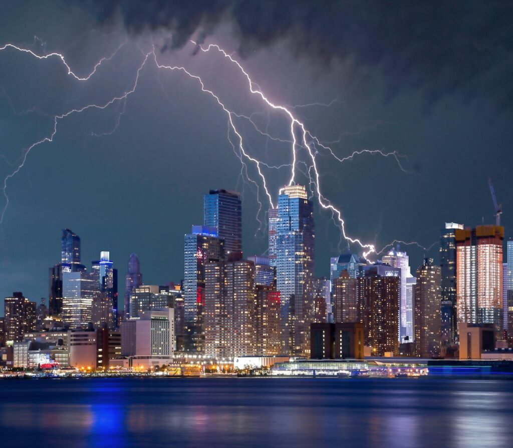
A huge high-pressure system has settled over the eastern U.S., keeping things from boiling over. This “heat dome” holds hot air below it, which stops clouds from forming and makes thermometers rise. Cities like New York have reached 100°F (38°C), a record high that hasn’t been seen since 2013. The humidity makes things even worse. The National Weather Service (NWS) says that this dome is to blame for the long, dangerous heat wave that is affecting the Midwest and East Coast.
But why does high pressure make the heat so bad? The answer is that air sinks, which makes it denser and hotter as it goes down. The sun shines brightly, and the temperatures keep going up. Climate scientists say that these events are happening more often and getting worse. A study in PNAS from 2024 showed that atmospheric patterns that cause heat have almost tripled since the 1950s.
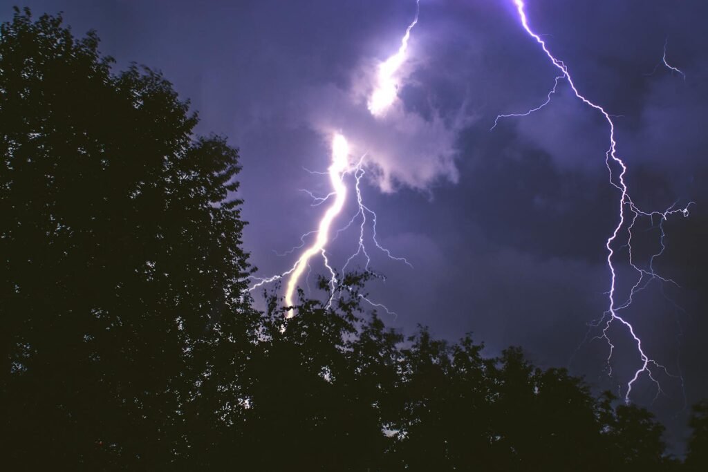
The ‘Ring of Fire’: Where the Heat Dome Meets Chaos
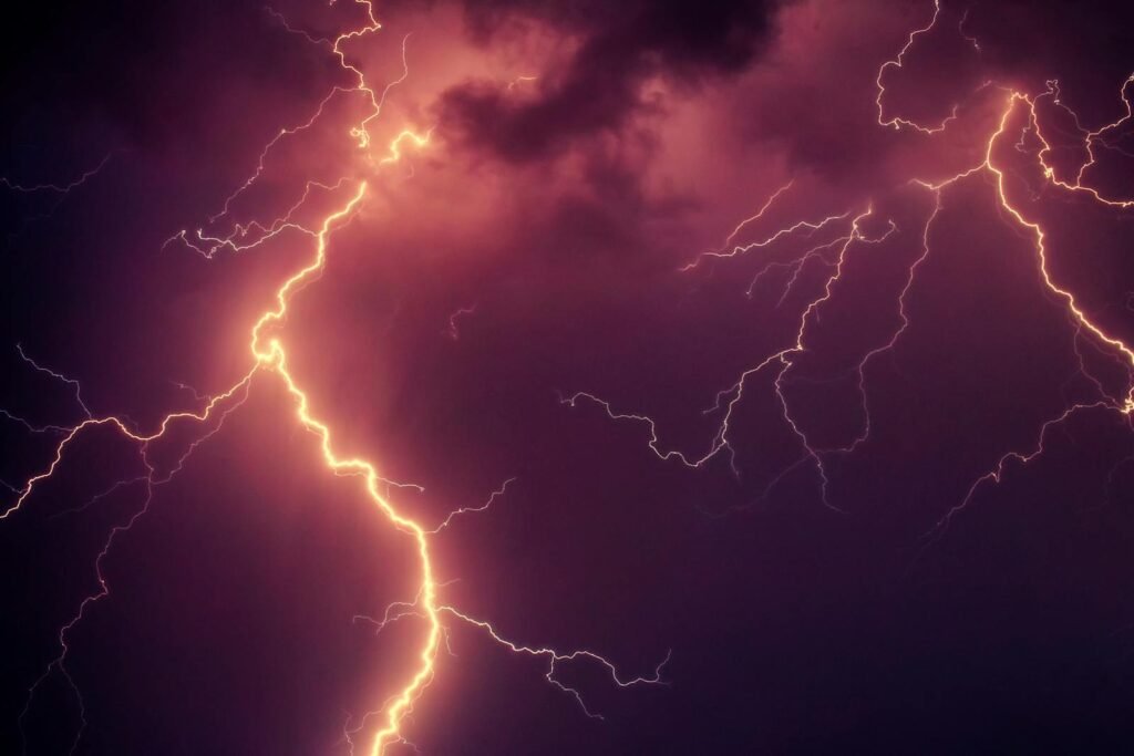
The dome’s core is baking in the sun, but violent thunderstorms are fighting on its edges. Meteorologists call this a “ring of fire,” which is a line of storms that forms on the edge of the dome’s hot, sinking air and the cooler, unstable air around it.
AccuWeather says that there is a 2,200-mile (3,500-km) arc of bad storms that runs from northern Mexico to New England. These storms bring heavy rain, hail, and flooding, which is ironic for areas that are already suffering from drought. The name “ring of fire” comes from the Pacific’s volcanic belt, but in this case, water, not lava, is the threat.
Tropical Storm Andrea: A Fleeting Herald of Hurricane Season
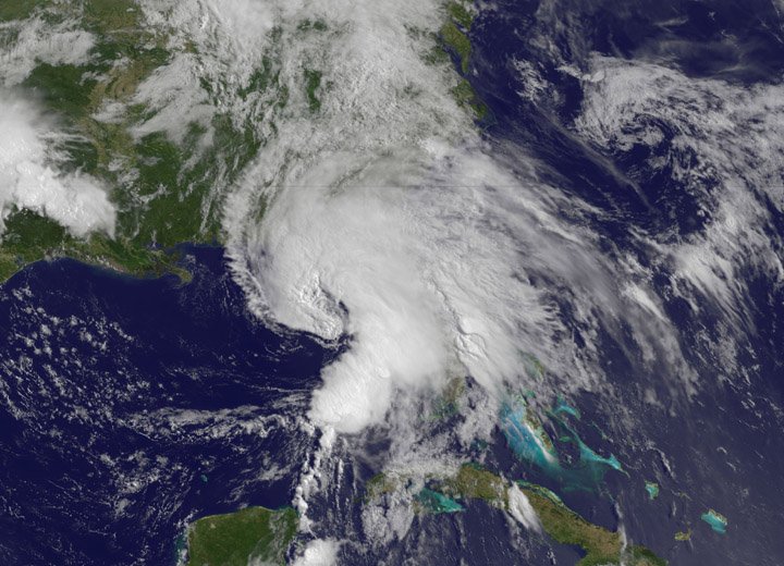
The Atlantic has already taken action. On June 24, 2025, the first named storm, Tropical Storm Andrea, formed. The U.S. is having a hard time with both storms and heat right now. The winds only got up to 39 mph (63 km/h), which is not very strong for a tropical storm. Then it safely faded away over open water.
Even though Andrea wasn’t dangerous, it came early, which corresponds with projections of a highly busy hurricane season. The National Oceanic and Atmospheric Administration (NOAA) says there is a 60% possibility that there will be greater activity than usual this year because ocean temperatures are at record highs and El Niño conditions are waning. Storms like Andrea that happen early in the season have been a portent of a long, harsh summer in the past.
Why Heat Domes and Hurricanes Are Growing More Extreme
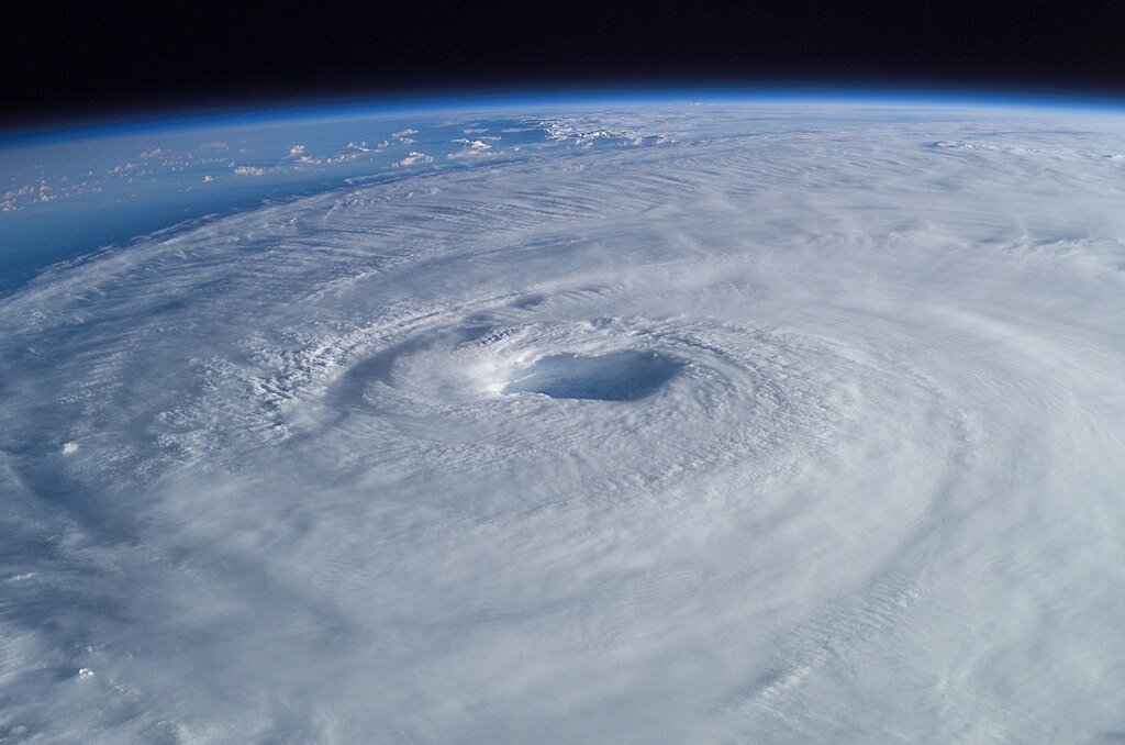
Tropical storms and heat domes both happen because of climate change. Heat waves last longer and are worse as the world gets hotter. Hurricanes also get more energy and rain when the oceans are warmer.
A NOAA report from 2025 says that hurricane winds could get 10–15% faster in the next few decades, and heat domes could get bigger and last longer. Cities are more likely to get heat waves because concrete and asphalt make it worse. There weren’t any “heat emergency” plans in cities like Chicago, St. Louis, and Philadelphia a generation ago.
What’s Next for the Heat Dome and Hurricane Season?
The NWS says that the current heat dome will likely weaken a little by the weekend, but that dangerous conditions will continue. Meteorologists are also keeping an eye on a few tropical waves in the Atlantic that could turn into the next named storms.
Getting ready is important for people who are in the storm’s path. Flood-prone areas should pay close attention to weather forecasts, and cities that are too hot should focus on cooling centers and staying hydrated. Adapting to climate change is no longer a choice; it’s a must.
A Warning from the Skies: The New Era of Extreme Weather
The fact that a heat dome, ring-of-fire storms, and a tropical storm all happened at the same time is a clear sign that the climate on Earth is changing. Scientists say that these things will happen more often and be more connected. For example, heat waves will make storms worse, and rising seas will make floods more likely.
For now, the U.S. is in for a summer of extremes, with the fight between hot skies and violent storms happening right now. What is certain? This is only the start.
Final Thought
The weather gets crazier as the Earth gets warmer. The question isn’t whether another record will be broken, but when and how badly. Stay up to date, stay ready, and keep an eye on the horizon.
Sources:

Jan loves Wildlife and Animals and is one of the founders of Animals Around The Globe. He holds an MSc in Finance & Economics and is a passionate PADI Open Water Diver. His favorite animals are Mountain Gorillas, Tigers, and Great White Sharks. He lived in South Africa, Germany, the USA, Ireland, Italy, China, and Australia. Before AATG, Jan worked for Google, Axel Springer, BMW and others.