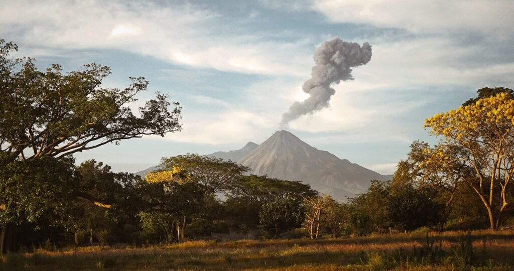
Magma stirs deep below the surface of the Earth, building pressure until at last it erupts with terrible power. But suppose nature herself could whisper a warning before the blast? Unusual sentinel discovered by scientists are trees. Rising volcanoes exhale carbon dioxide (CO₂), a gas that fuels surrounding flora, rendering leaves unnaturally green. NASA and the Smithsonian Institution are now using satellites to identify these minute changes in vegetation as an early warning system for eruptions, so harnessing this phenomena from space. This innovative method could transform our ability to forecast volcanic events particularly in isolated, difficult-to-monitor areas where conventional sensors are few.
The Hidden Signal: How CO₂ Turns Trees into Volcano Whisperers
Magma releases CO₂ long before lava finds the surface. While satellites fight to find these faint CO₂ plumes directly, trees absorb CO₂ by turbocharging photosynthesis and generating flushing greener leaves. Tracking this change using the Normalized Difference Vegetation Index (NDVI), a satellite-based indicator of plant health based on light reflectance, Scientists discovered sixteen distinct NDVI spikes at Mount Etna in Italy that matched movements of subterranean magma, so suggesting how trees respond to volcanic gas weeks before an eruption.
From Ground to Orbit: The Satellite Revolution
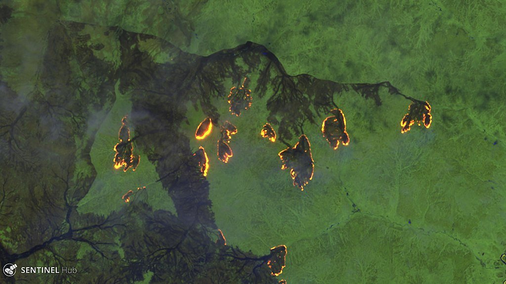
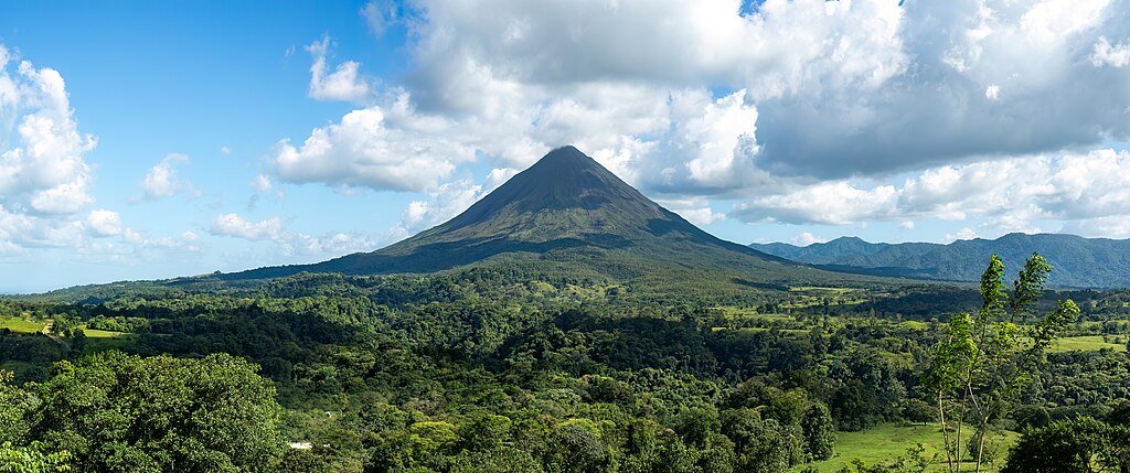
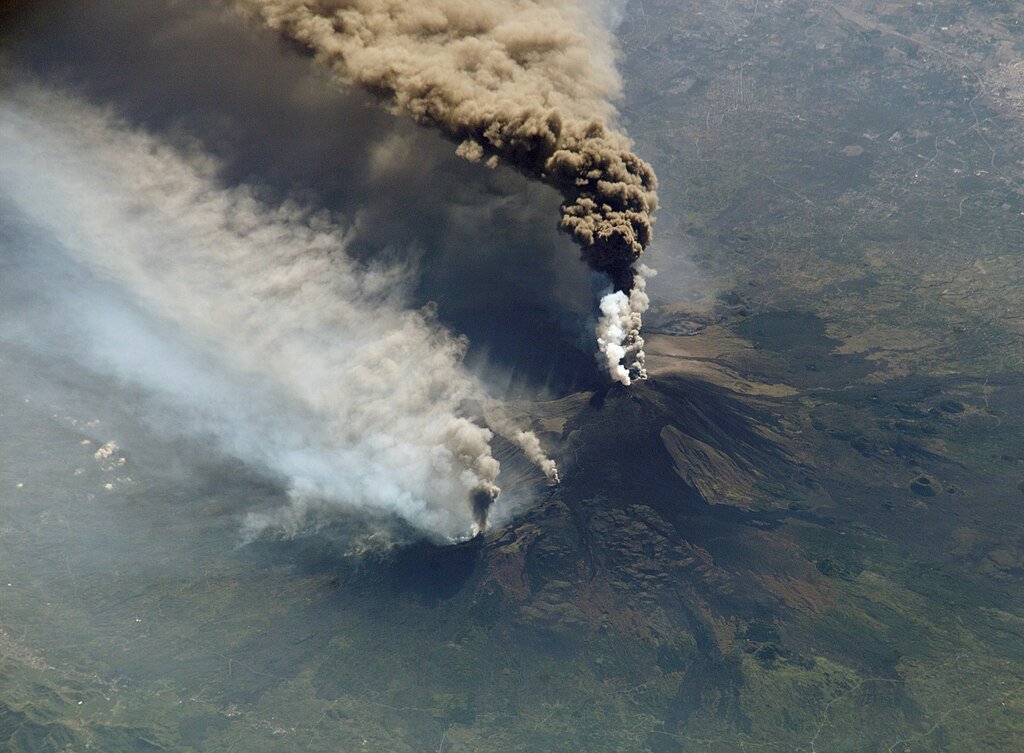
Monitoring CO₂ historically needed dangerous trips to install ground sensors, an almost impossible chore for far-off volcanoes like Costa Rica’s Rincón de la Vieja. These days, satellites like Landsat 8 and Sentinel-2 scan large areas looking for obvious greening. Validating the approach, a 2024 study found that NDVI changes at Etna matched exactly on-the-ground CO₂ measurements. “There are plenty of satellites we could use for this,” says study leader volcanologist Nicole Guinn. The method is not perfect, though; treeless volcanoes or burned forests could conceal these signals.
AVUELO: The Ambitious Mission Bridging Sky and Soil
To refine the science, NASA and the Smithsonian launched AVUELO (Airborne Validation Unified Experiment: Land to Ocean) in early 2025. The project combines airborne spectrometers, ground teams collecting leaf samples, and satellite data to cross-validate findings. In Panama and Costa Rica, researchers mapped CO₂’s effects on tropical trees a critical step toward global implementation. “We’re not just tracking eruptions,” says climate scientist Josh Fisher. “We’re studying how trees handle CO₂, which clues us into Earth’s future under climate change”.
Limitations: When Trees Can’t Sound the Alarm
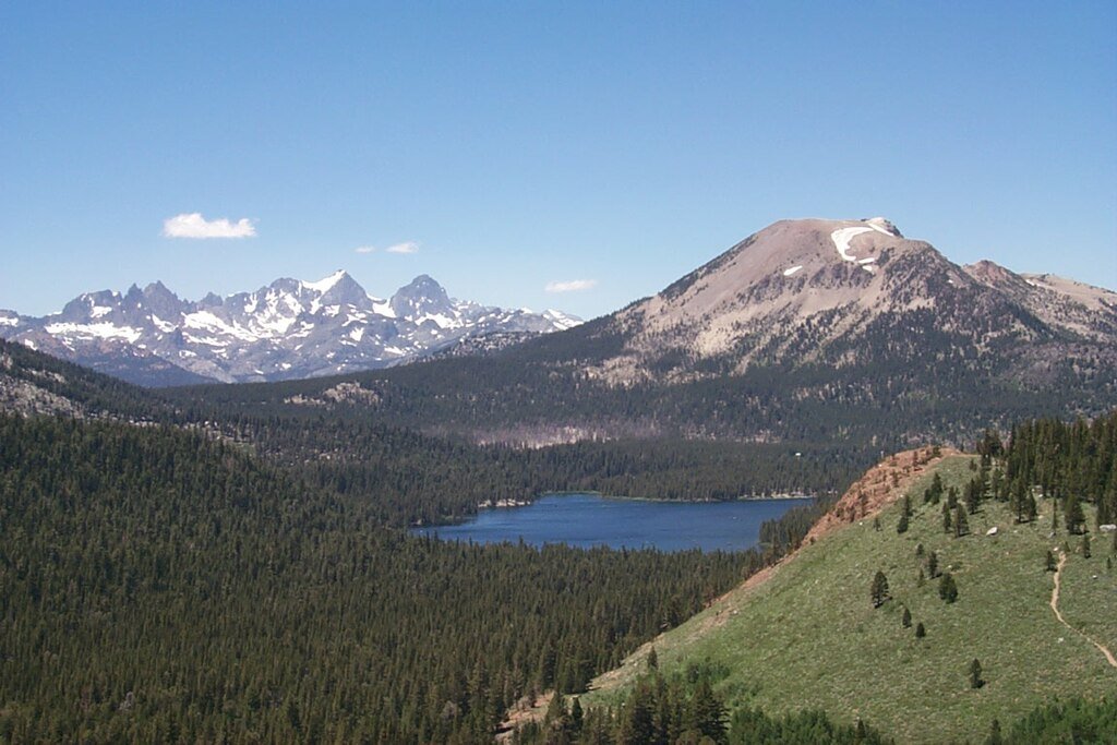
While promising, the method has gaps. At Mammoth Mountain in California, excessive CO₂ suffocates tree roots, creating “kill zones” instead of lush canopies. Similarly, volcanoes in icy or desert regions lack enough vegetation for monitoring. “This isn’t a silver bullet,” cautions NASA’s Florian Schwandner. But when paired with seismic sensors and gas detectors, tree-based warnings could fill critical gaps especially in developing nations with limited monitoring infrastructure.
A Life-Saving Success Story: Mayon Volcano’s Close Call
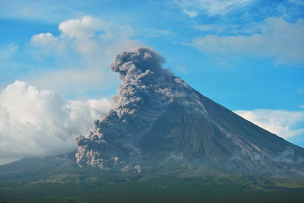
The stakes are staggering: 10% of the world’s population lives near active volcanoes. In 2017, Schwandner’s team upgraded CO₂ monitors at the Philippines’ Mayon Volcano. When levels spiked, officials evacuated 56,000 people days before a catastrophic eruption and zero lives were lost. Satellite-based tree monitoring could extend such alerts to regions lacking ground sensors, offering a lifeline for vulnerable communities.
The Future: A Global Early-Warning Network
Beyond eruptions, this research unveils how forests might buffer rising atmospheric CO₂. Projects like the Smithsonian’s GEO-TREES, a global forest biomass tracker, could integrate volcanic NDVI data to refine climate models. Meanwhile, scientists urge expanding satellite constellations to cover more volcanoes. As McGill’s Robert Bogue puts it: “Volcanoes are unpredictable, but trees might give us the warning we need”.
Conclusion
Trees have become quiet guardians in the dance between Earth’s wrath and her vegetation. Scientists are rewriting the rules of eruption forecasting one leaf at a time by decoding their vivid colors from space. Although problems still exist, this combination of volcanology and botany offers a safer future whereby satellites could see disaster developing long before the ground moves.
Sources:

Suhail Ahmed is a passionate digital professional and nature enthusiast with over 8 years of experience in content strategy, SEO, web development, and digital operations. Alongside his freelance journey, Suhail actively contributes to nature and wildlife platforms like Discover Wildlife, where he channels his curiosity for the planet into engaging, educational storytelling.
With a strong background in managing digital ecosystems — from ecommerce stores and WordPress websites to social media and automation — Suhail merges technical precision with creative insight. His content reflects a rare balance: SEO-friendly yet deeply human, data-informed yet emotionally resonant.
Driven by a love for discovery and storytelling, Suhail believes in using digital platforms to amplify causes that matter — especially those protecting Earth’s biodiversity and inspiring sustainable living. Whether he’s managing online projects or crafting wildlife content, his goal remains the same: to inform, inspire, and leave a positive digital footprint.