Have you ever stood atop one of Boston’s rolling hills or gazed at its winding harbor and wondered, “How did this all come to be?” Long before skyscrapers and Red Sox games, this land was locked in the icy grip of massive glaciers. These ancient rivers of ice sculpted every twist and rise we see today, leaving behind a city landscape that’s both surprising and awe-inspiring. The story of Boston’s glacial past isn’t just about stone and ice — it’s a saga of unimaginable forces, patient erosion, and a legacy that shapes our daily lives in ways most of us never realize. Let’s peel back the layers of time and step into a world where mammoths roamed, and the city itself was just a blank canvas under miles of frozen power.
The Mighty Laurentide Ice Sheet: Boston’s Ancient Architect
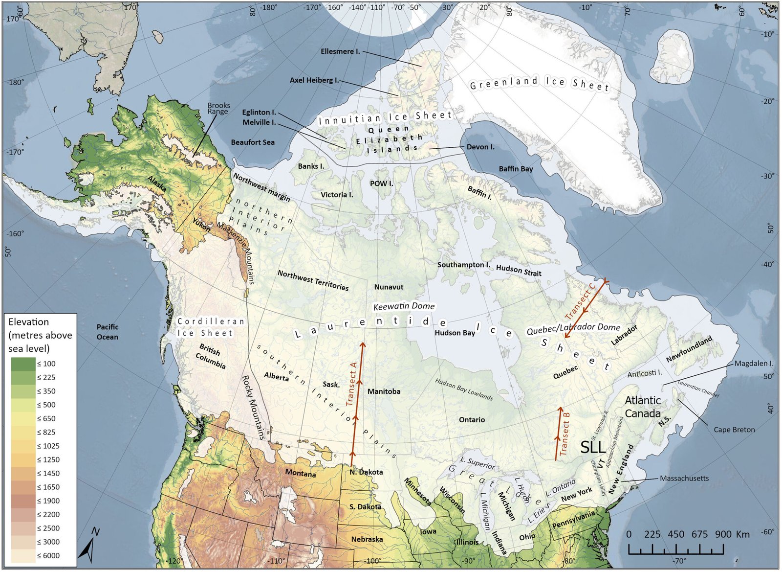
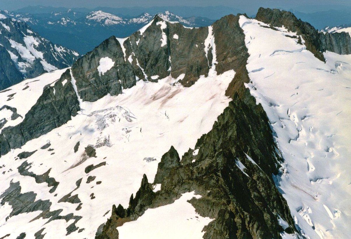
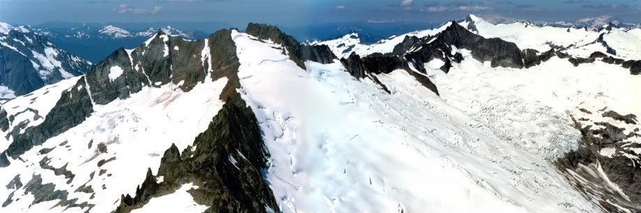
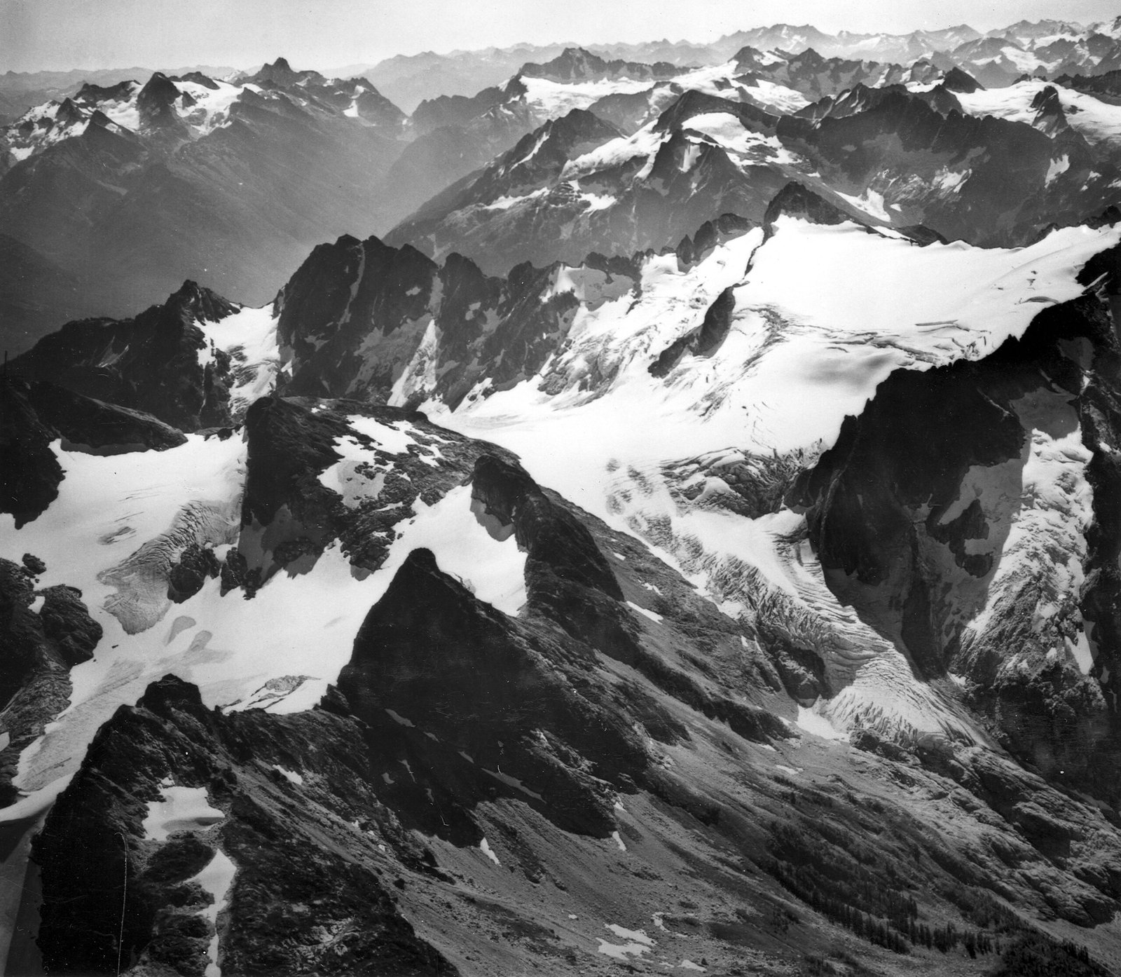
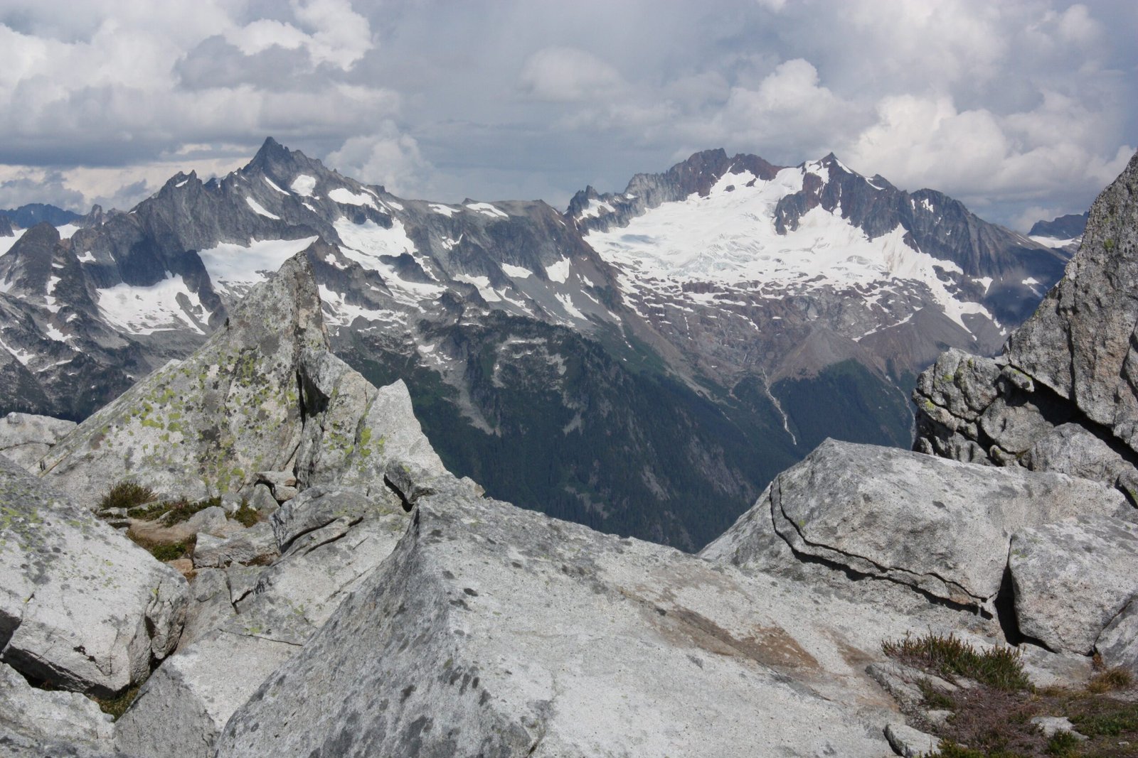
Imagine a sheet of ice taller than the tallest Boston skyscraper, stretching as far as the eye could see. This was the Laurentide Ice Sheet, a monstrous glacier that once smothered all of New England, including Boston. For thousands of years, this icy titan advanced and retreated, dragging rocks, soil, and even entire hills along with it. Its relentless movement bulldozed the land, flattening some areas and piling debris in others. The sheer weight of the ice pressed the earth beneath it, changing the very shape of the landscape. When the ice finally began to melt, it left behind a city forever marked by its chilling embrace.
The Birth of Boston’s Rolling Hills
If you’ve ever wondered why Boston isn’t flat like some other cities, you can thank the glaciers for its undulating hills. As the ice sheet crawled across the land, it scraped up rocks and earth, forming huge mounds called drumlins. These oval-shaped hills, like the famous Bunker Hill and Corey Hill, are direct gifts from the Ice Age. Picture a gigantic ice plow pushing clay and stones into neat, elongated heaps — that’s basically how Boston’s hills were made. Today, these hills not only define the city’s skyline but also serve as silent storytellers of a frozen past.
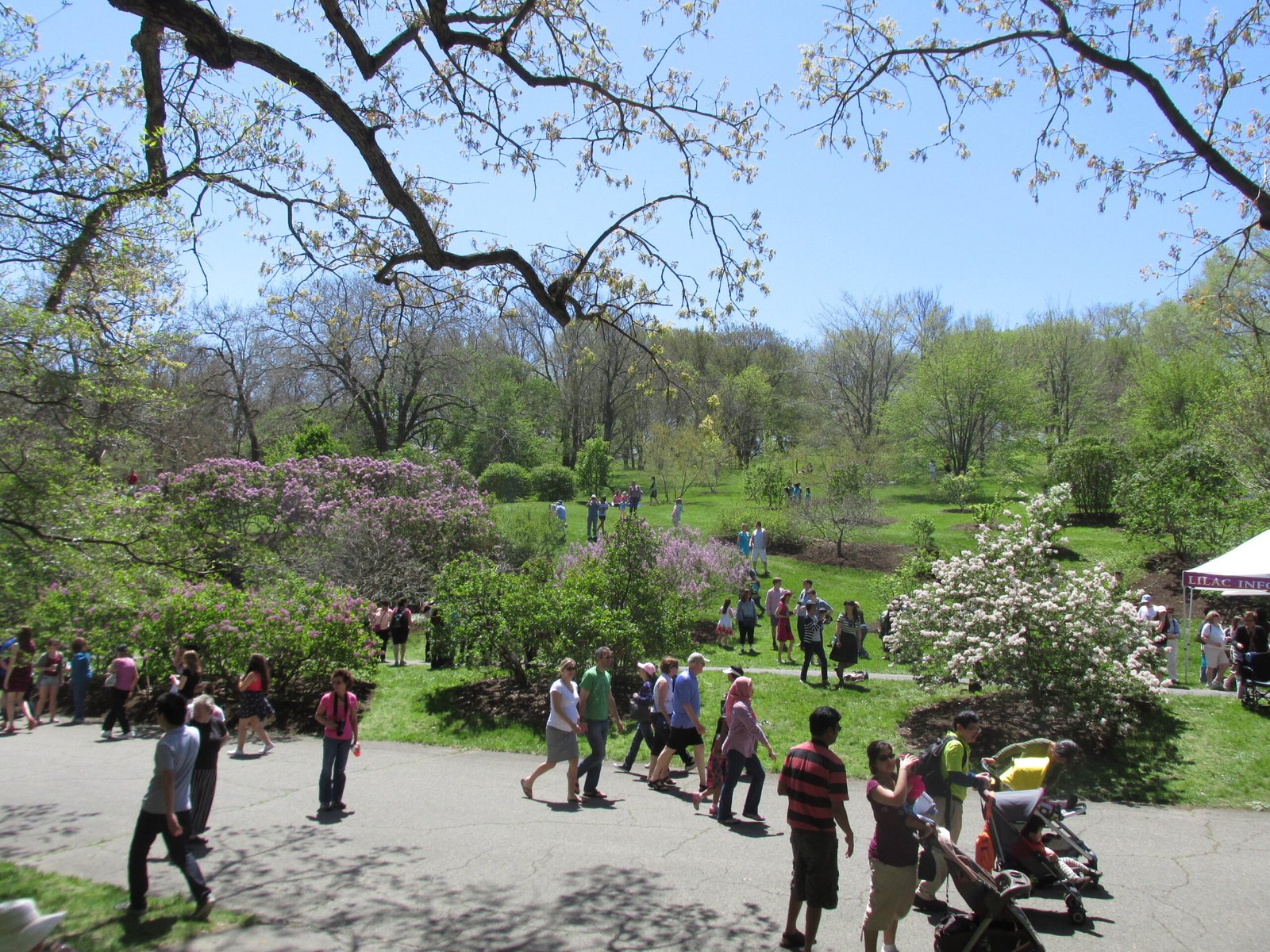
The Mysterious Kettle Ponds and Lakes
Have you ever strolled around Jamaica Pond or the ponds of the Emerald Necklace? These sparkling bodies of water are actually kettle ponds, formed when chunks of glacial ice broke off, became buried in sediment, and slowly melted, leaving behind deep, water-filled depressions. These ponds are like nature’s footprints, perfectly preserved from the last glacial retreat about 12,000 years ago. Their cool, quiet waters offer a living memory of a time when ice ruled the land and wildlife adapted to a changing world.
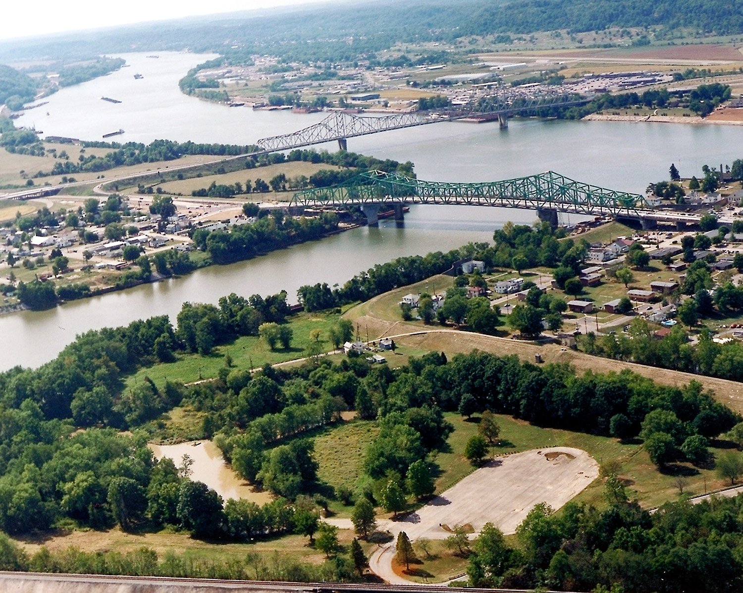
The Harbor’s Curious Shape: Glaciers at Work
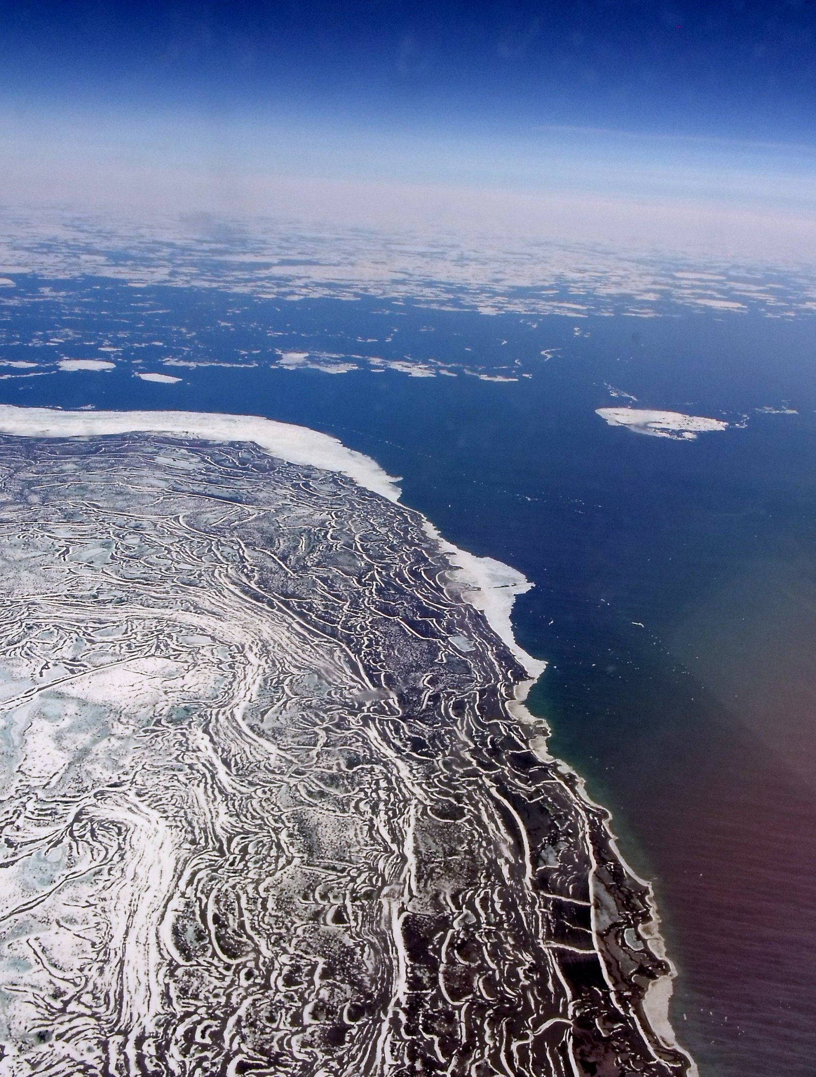
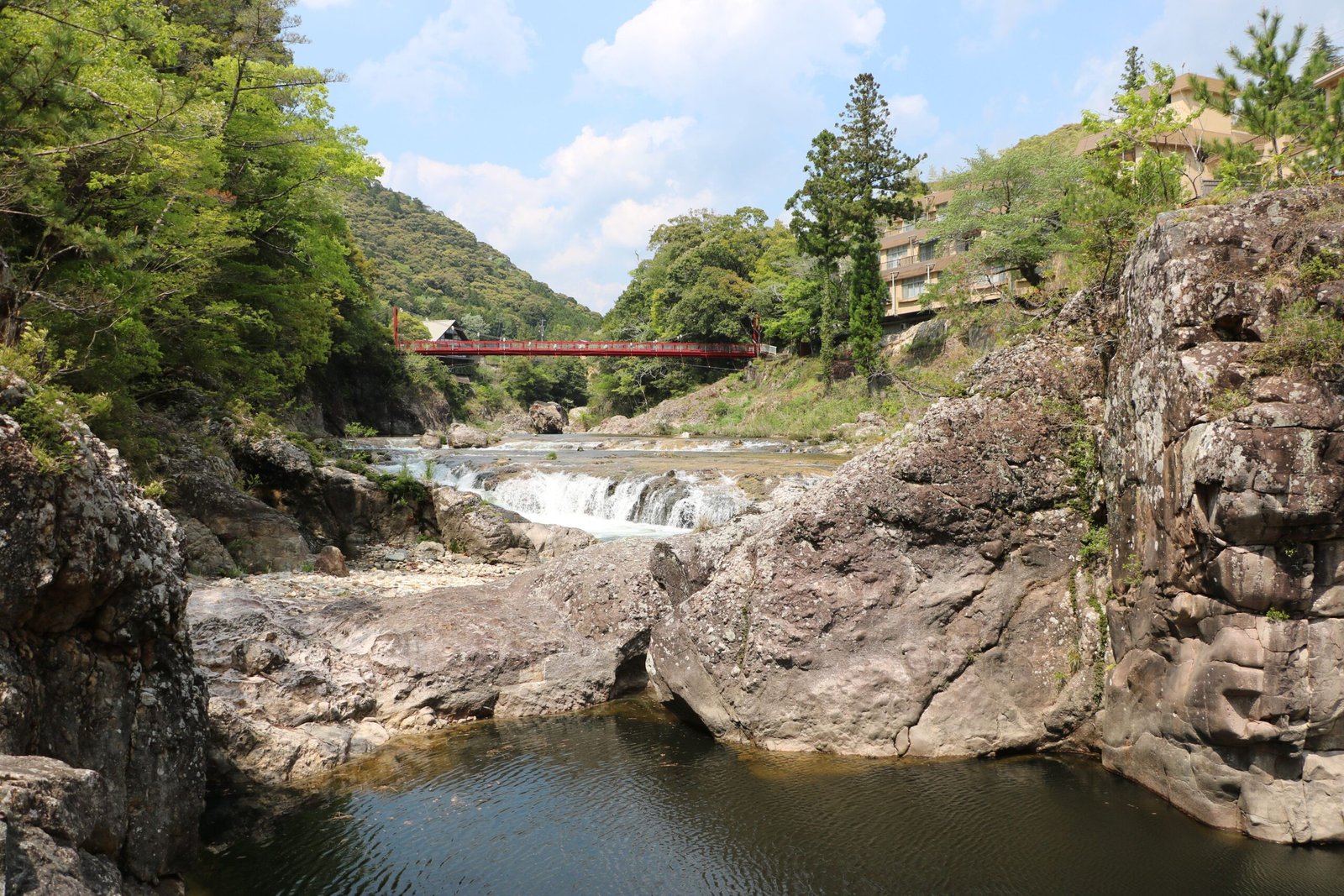
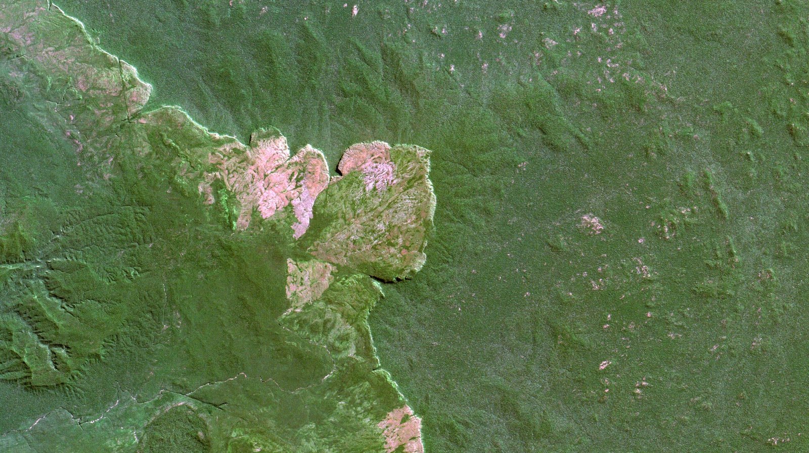
Boston’s iconic harbor, with its winding inlets and sheltering islands, owes its very existence to the glaciers. As the ice sheet receded, it left behind a jumble of rocky debris called moraines and carved out deep valleys that filled with seawater as the climate warmed. The harbor’s islands, including Spectacle and Long Island, are remnants of these glacial deposits. Even the harbor’s jagged edges and natural protection from storms are a direct result of this ancient ice sculpting. It’s a coastline built not by people, but by the slow hand of a vanished glacier.
The Legacy of Glacial Erratics
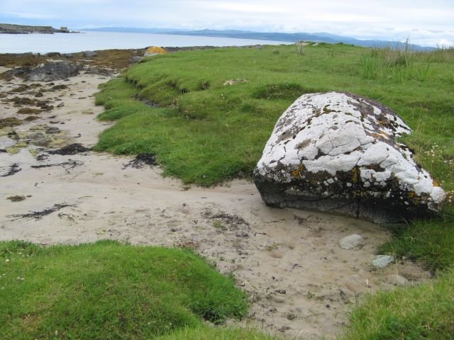
Scattered across Boston’s parks and neighborhoods, you’ll find boulders that seem oddly out of place — these are glacial erratics. The glaciers picked up rocks from as far away as Canada and dropped them haphazardly when the ice melted. Some, like the famous Roxbury Puddingstone, have become local landmarks. These erratics are more than just geological oddities; they are time capsules, silently reminding us of the immense journeys they took atop a river of ice. Next time you see a lone boulder perched on a hill, imagine its epic ride across the continent.
Glacial Till: The Ground Beneath Our Feet
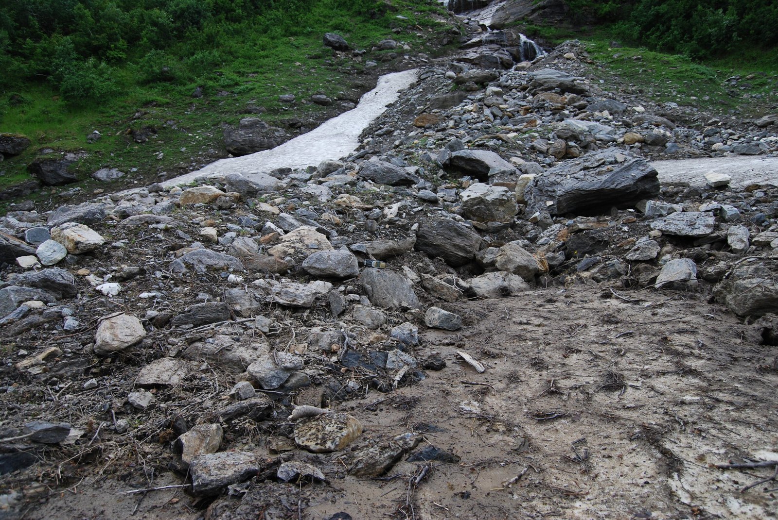
Every step you take in Boston is on ground shaped by glacial till — a mix of clay, sand, gravel, and rocks left behind by retreating ice. This jumbled mixture can make digging foundations in Boston a challenge, but it also provides fertile soil for gardens and parks. If you’ve ever wondered why some backyards are rockier than others, it’s probably because of the uneven spread of this ancient debris. Glacial till is like the city’s natural patchwork quilt, stitched together over millennia by the restless glacier above.
Shaping the Charles River’s Meandering Path
The Charles River’s gentle curves and broad marshes are another legacy of the Ice Age. As the glaciers melted, torrents of meltwater carved out new channels and deposited vast amounts of sediment. The river’s current route was set by these glacial fingerprints. Even today, the river floods and shifts, echoing the dynamic changes set in motion thousands of years ago. The next time you row along the Charles, remember you’re gliding through a landscape born of both ice and fire.
Boston’s Muddy Flats: A Glacial Inheritance
Before Back Bay became one of Boston’s most elegant neighborhoods, it was a vast stretch of tidal mudflats. These flats were created as the glacier retreated and sea levels rose, flooding low-lying land. The resulting marshes were rich with life but also difficult to build on — which is why, in the nineteenth century, the city embarked on a massive project to fill them in. Today’s Back Bay’s grand townhouses and tree-lined streets sit atop layers of sand and gravel, a testament to both glacial forces and human ingenuity.
How Glacial Forces Shaped Local Climate
The Ice Age didn’t just change Boston’s topography; it also influenced its weather. When the glaciers melted, they left behind lakes and wetlands that continue to affect humidity and local temperature. The city’s proximity to cold Atlantic currents is another indirect result of glacial shifts. Even now, microclimates in different neighborhoods can be traced back to how glaciers deposited soil and shaped the land. On a hot summer day, the cool breeze off a kettle pond is a subtle reminder of Boston’s icy history.
Wildlife Adaptation in a Post-Glacial City
When the last glaciers retreated, Boston’s landscape was barren and raw, but plants and animals quickly returned. Hardy species like birch and spruce took root first, followed by larger forests and a parade of wildlife. Some, like the woolly mammoth and mastodon, vanished when the climate warmed. Others adapted and thrived, shaping the city’s early ecosystems. Even today, the patterns of parks and green spaces echo these ancient migrations, offering a living link to the city’s wild beginnings.
Indigenous Peoples and the Glacial Landscape
Long before Boston was a city, Indigenous peoples like the Massachusett and Wampanoag lived on this land, adapting to the landscape shaped by ice. They fished in kettle ponds, hunted along glacial ridges, and used glacial boulders as landmarks. Their deep knowledge of the land’s quirks and contours was built on centuries of observation and adaptation. Even today, Indigenous place names and stories preserve a connection to the city’s glacial roots, reminding us that Boston’s history stretches far beyond colonial times.
The Science of Glacial Geology in Boston
Modern geologists use a range of tools — from ground-penetrating radar to sediment cores — to piece together Boston’s glacial story. Each new discovery paints a clearer picture of how the ice shaped the city. For example, layers of sand and gravel found beneath downtown Boston bear the unmistakable fingerprints of glacial rivers. This ongoing research not only answers age-old questions but also helps city planners understand the ground they’re building on. In a way, every construction project in Boston is a chance to uncover another chapter of its icy past.
Glacial Clues Hidden in Plain Sight
You don’t need to be a scientist to spot glacial features around Boston. From the rounded shapes of the hills to the out-of-place boulders and curiously shaped ponds, clues are everywhere. Even the layout of some neighborhoods follows the contours left by the glacier’s retreat. Next time you’re out for a walk, look for drumlins, erratics, and kettle ponds — you might be surprised at how much of Boston’s glacial story is hiding in plain sight.
The Role of Water: Glacial Melt and Urban Development
The melting of the glaciers unleashed torrents of water that reshaped the land and laid the groundwork for Boston’s future growth. Flooded valleys became rivers, and the land’s natural drainage patterns were set. Early settlers took advantage of these features for transportation and industry. Today, the city’s storm drains, sewers, and water management systems still contend with the legacy of glacial meltwater paths. It’s a hidden influence, but a powerful one, woven into the city’s infrastructure.
Boston’s Bedrock: Stories Written in Stone
Beneath Boston’s streets lies a foundation of ancient bedrock, much of it polished and grooved by the movement of glaciers. These rocks, some over 600 million years old, have been shaped and scarred by wave after wave of ice. The city’s famous granite was quarried from these glacially altered outcrops. Every stone building and cobblestone street is, in a sense, a monument to the power of glaciers. The city’s very bones are inscribed with the marks of the Ice Age.
Changing Sea Levels: The City’s Rising and Falling Shoreline
As the glaciers melted, global sea levels rose dramatically, flooding low-lying areas and transforming the Boston shoreline. Neighborhoods like East Boston and the Seaport District were once underwater, only to emerge as sea levels stabilized. The shifting boundary between land and sea created salt marshes, mudflats, and fertile ground for future development. Even today, rising seas driven by climate change echo the ancient story of Boston’s ever-changing coast.
Glacial Features in Today’s Parks and Gardens
Some of Boston’s most beloved parks, like Franklin Park and the Arnold Arboretum, are built atop glacial landforms. The rolling hills, rocky outcrops, and hidden ponds all bear witness to the city’s frozen past. Gardeners and landscapers often find themselves working with — or against — glacial soil and rocks. The city’s natural beauty, from its tree-lined boulevards to its secret wooded trails, is a direct inheritance from the vanished glaciers.
Boston’s Glacial Past and Modern Engineering Challenges
Building a city on glacial ground isn’t easy. The varied soils and hidden boulders left by the ice can make construction tricky and expensive. Engineers must carefully study the land before laying foundations, especially for tall buildings or tunnels. The city’s famous “Big Dig” project, for instance, had to carve through layers of glacial till and bedrock. Every major project is a reminder that the city’s glacial past still shapes its future, one stone at a time.
Preserving Glacial Heritage for Future Generations
As Boston grows, there’s a renewed interest in preserving its glacial features. Parks, walking trails, and educational programs help residents and visitors connect with the city’s ancient story. Efforts to protect kettle ponds, drumlins, and erratics ensure these natural wonders aren’t lost to development. By understanding and celebrating Boston’s glacial heritage, we keep alive a sense of wonder and respect for the forces that shaped our world.
The Lasting Impact: Why Boston’s Ice Age Matters Today
Boston’s glacial past isn’t just a story for scientists or history buffs. It’s the foundation of the city itself, shaping everything from its neighborhoods to its natural beauty and even its weather. The legacy of the Ice Age is woven into daily life — in the parks we visit, the rivers we cross, and the rocks beneath our feet. By remembering the glaciers that carved this city, we gain a deeper appreciation for the land and its hidden stories. Isn’t it amazing to think that every corner of Boston carries the quiet echoes of an ancient world?