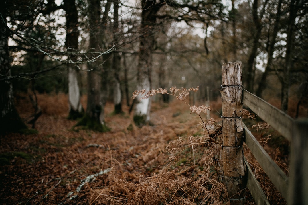
Imagine a forest shrouded in morning mist, sunlight catching on the dew, and a faint whiff of smoke suddenly interrupting the peace. Wildfires, once rare and seasonal, are now menacing communities almost year-round. But in the face of this growing threat, a new hero is emerging—not a firefighter in a yellow jacket, but artificial intelligence. Across the United States, eight pioneering states are harnessing the power of AI to predict, detect, and fight back against wildfires and natural disasters. The result? Technology is rewriting the rules of disaster response, giving hope to those who live on the front lines of nature’s fury.
California: The AI Wildfire Trailblazer
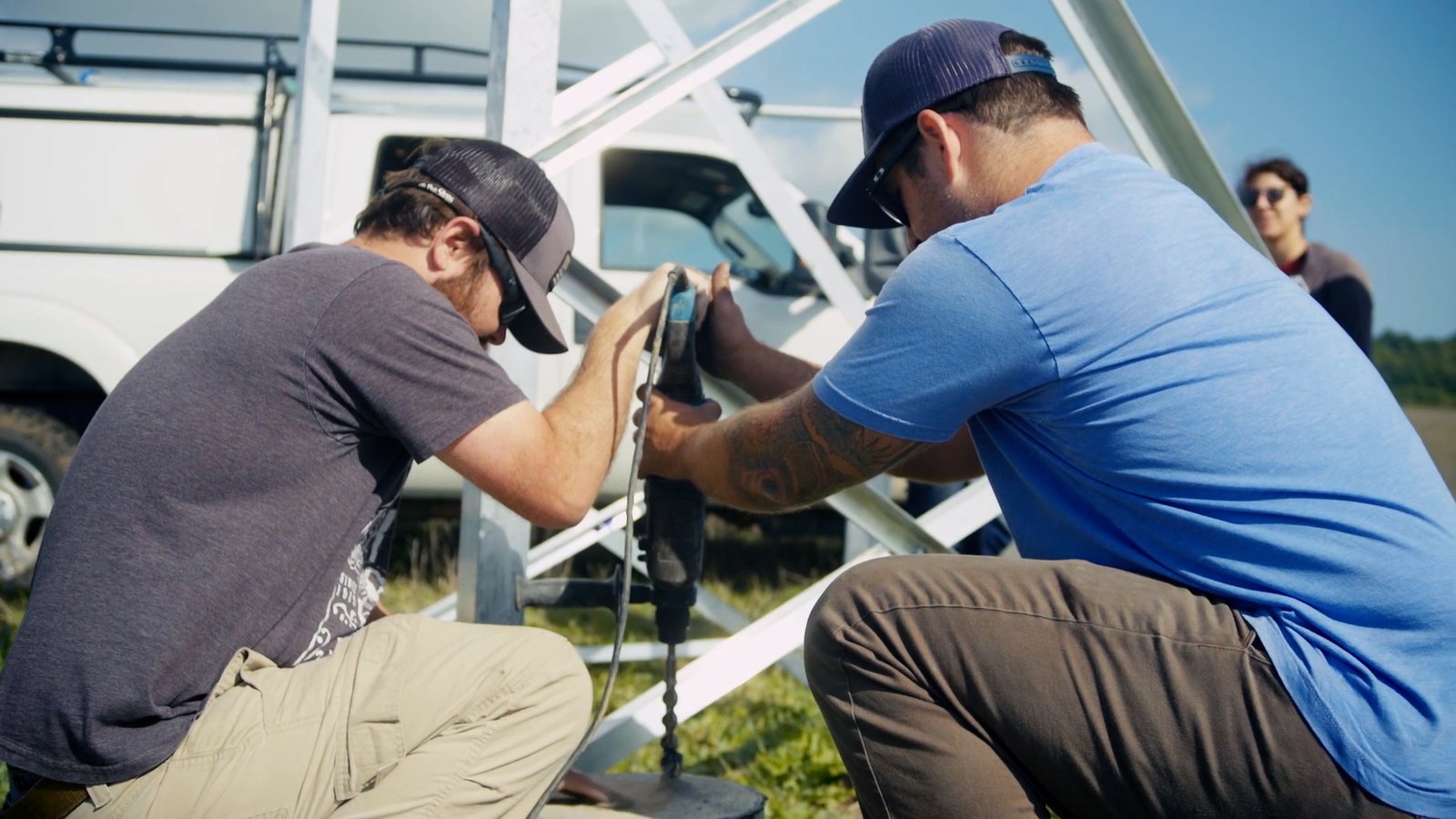
California stands as the epicenter of both wildfire devastation and technological innovation. Here, AI is not just a buzzword; it’s a lifeline. The state uses complex algorithms to analyze weather patterns, wind speeds, and satellite imagery in real time. These systems can detect the tiniest plumes of smoke before human eyes have a chance to spot trouble. Firefighters are now equipped with mobile apps that tap into this AI data, helping them deploy resources faster than ever before. In some cases, AI-powered drones are mapping the terrain ahead of the flames, giving ground crews a crucial edge. California’s investment in these tools isn’t just about saving trees—it’s about saving lives and homes in a region where every second counts.
Oregon: Predictive Modeling for Early Detection
Oregon’s forests are lush, dense, and, unfortunately, highly flammable. The state has turned to AI-driven predictive modeling to stay ahead of disaster. By feeding years of historical fire data into machine learning platforms, Oregon’s agencies can now forecast where the next big blaze might erupt. These tools consider everything from soil moisture levels to the health of local vegetation. When a high-risk area is flagged, emergency alerts go out to residents and firefighting teams, sometimes hours before smoke even appears on the horizon. This proactive stance has already proven its worth, catching smaller fires before they escalate into infernos.
Colorado: Smart Sensors and Real-Time Alerts
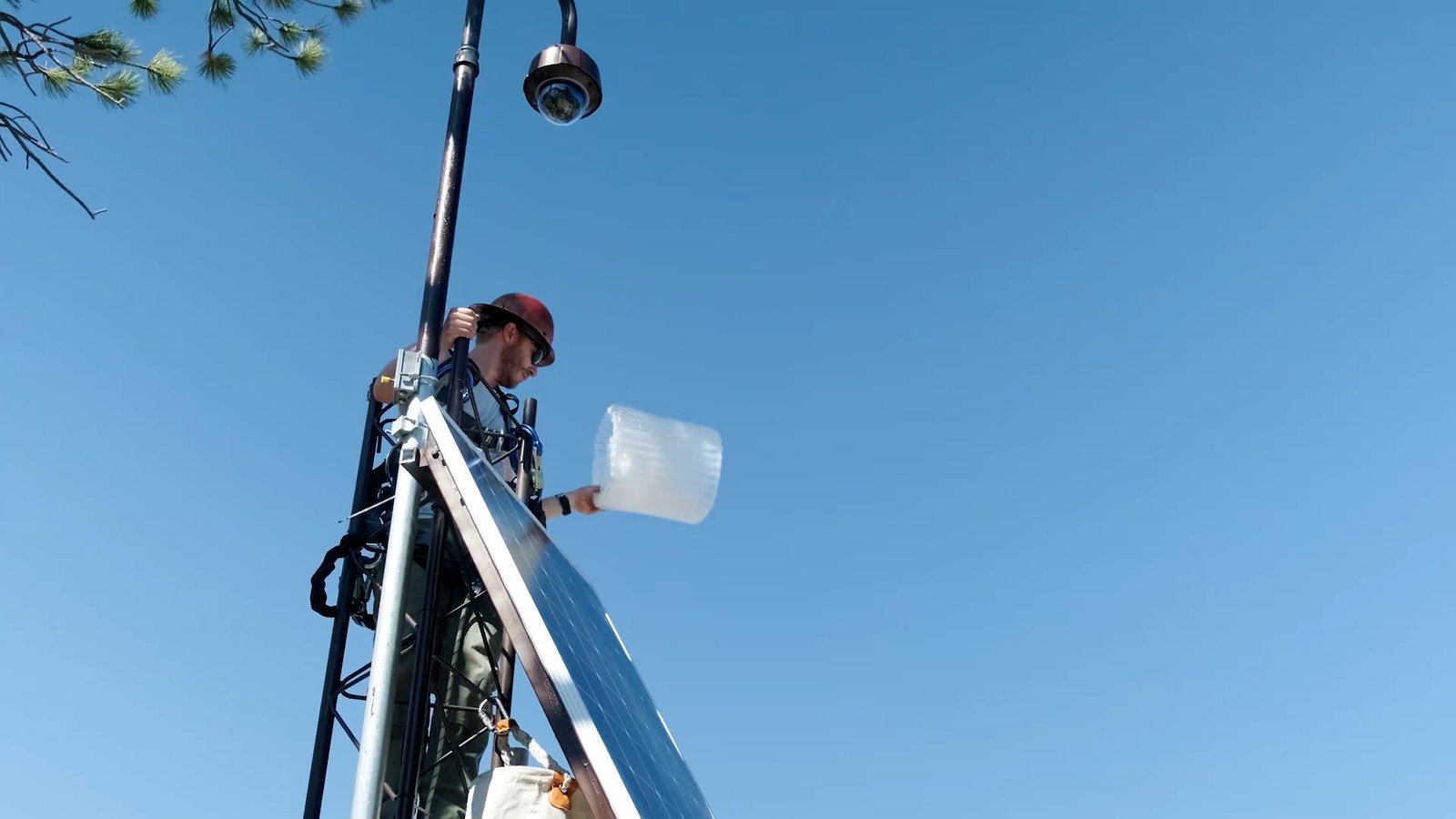
Colorado’s mountainous terrain poses unique challenges for wildfire detection and response. AI-powered sensors scattered across the forests are constantly sniffing the air for signs of smoke and abnormal temperature spikes. These sensors are connected to an intelligent network that filters out false alarms—like a campfire or barbecue—while quickly escalating true threats. When a sensor detects something suspicious, it triggers a cascade of real-time alerts to local authorities and firefighting crews. The result is a finely-tuned system that minimizes wasted effort while ensuring that no real fire goes unnoticed. Residents living near the woods now sleep a little easier knowing that AI is on guard, 24/7.
Arizona: AI-Driven Evacuation Planning
In Arizona, where dry heat and sudden winds can turn a spark into a raging wildfire in minutes, traditional evacuation plans sometimes fall short. That’s where AI steps in. Using simulations that model fire spread based on current weather and topography, AI tools can recommend the safest evacuation routes for each neighborhood. These dynamic plans update in real time as conditions change, helping authorities direct traffic away from danger and prevent deadly bottlenecks. The state has even integrated these systems with public apps, so families can see suggested escape routes right on their phones. This level of preparedness is helping to prevent tragedy before it strikes.
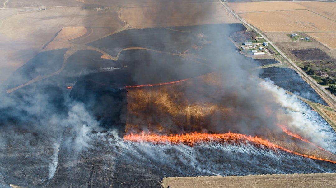
Texas: AI for Disaster Coordination and Response
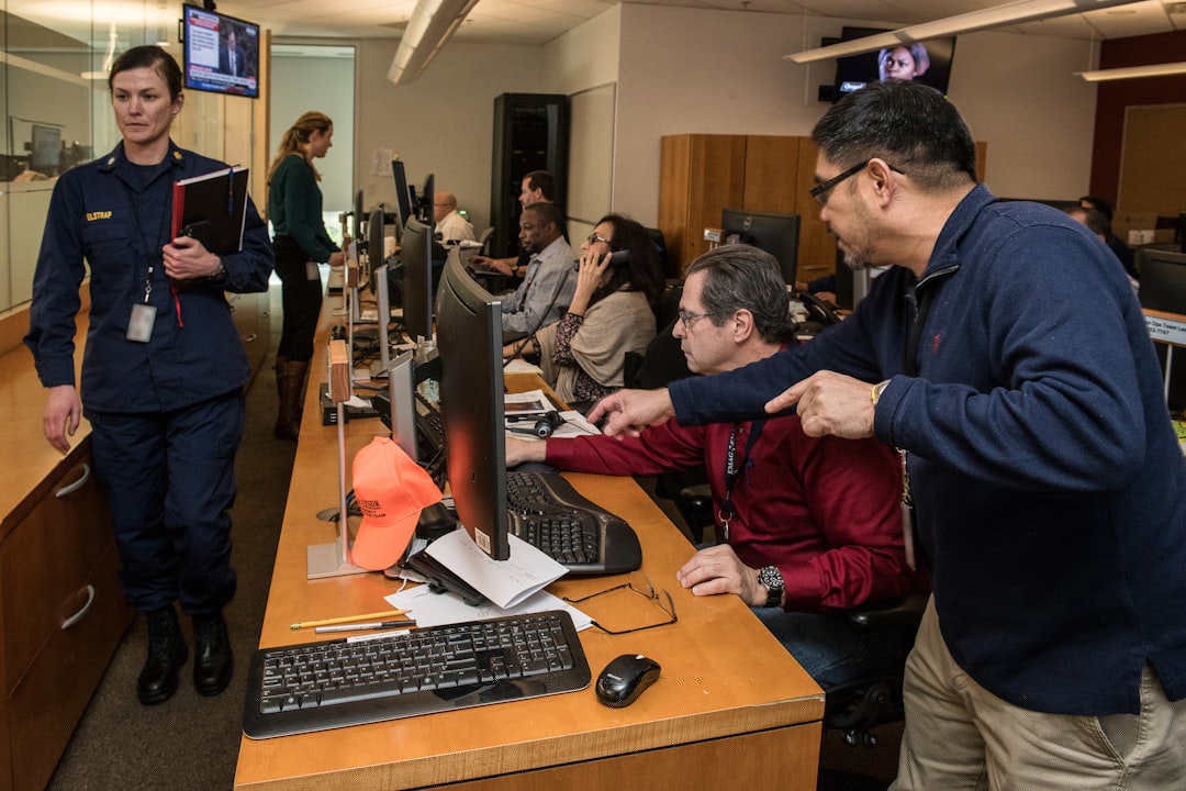
Texas is no stranger to natural disasters, from wildfires to hurricanes and floods. Here, AI is being used to coordinate massive multi-agency responses. During a wildfire, AI systems compile data from weather satellites, emergency calls, and even social media posts to build a live map of the danger zone. This map is shared instantly with fire crews, police, and medical teams, breaking down the silos that often hamper disaster response. By predicting where the fire will move next, AI helps teams position resources—like water tankers and evacuation buses—where they’re needed most. The speed and precision of these efforts have already made a tangible difference during recent emergencies.
Washington: AI and Satellite Imagery Integration
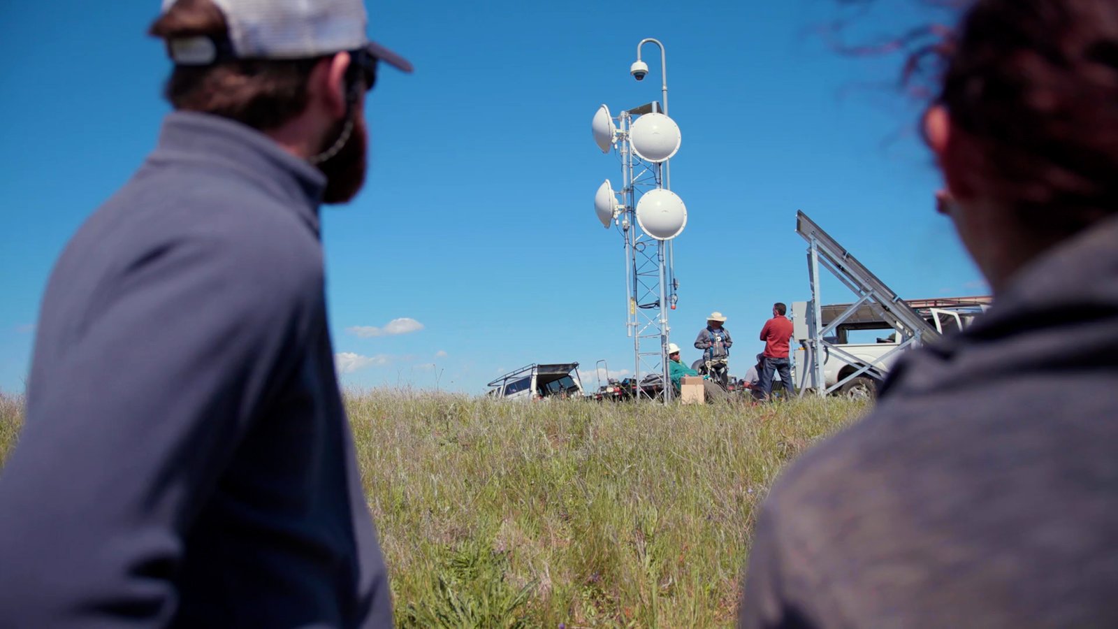
Washington’s evergreen forests are breathtaking, but they’re also vulnerable to lightning strikes and human-caused fires. The state has partnered with tech companies to integrate AI with high-definition satellite imagery. These AI systems scan the imagery for signs of smoke or scorched earth, detecting fires in remote areas that are nearly impossible to monitor otherwise. Once identified, the AI sends coordinates directly to firefighting teams, shaving precious minutes off response times. The system even tracks how the fire changes shape, helping crews anticipate and outmaneuver the flames. For Washington, this fusion of space-age technology and AI is proving to be a game changer.
Montana: Machine Learning for Forest Management
Montana’s vast wilderness makes traditional fire patrols expensive and difficult. Instead, officials are leaning on machine learning to understand and manage forest health. By analyzing satellite data over time, AI identifies patches of stressed or dying trees—prime fuel for wildfires. Forest managers use this information to prioritize controlled burns and targeted thinning, which helps prevent catastrophic fires before they start. The AI also predicts which areas are most at risk based on current climate trends, allowing Montana to focus prevention efforts where they’ll have the biggest impact. It’s a smart, cost-effective way to protect both people and the wild places they love.
Alaska: Remote Monitoring and AI-Assisted Response
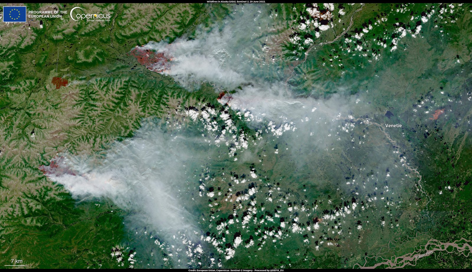
Alaska’s wilderness is wild, remote, and often beyond the reach of traditional firefighting methods. To bridge this gap, the state has deployed AI-powered monitoring stations in hard-to-access areas. These stations use a combination of thermal cameras and environmental sensors, all managed by AI systems that learn to distinguish real threats from harmless anomalies. When a wildfire is detected, the AI sends automated alerts to firefighting aircraft and ground teams stationed hundreds of miles away. This rapid notification system allows Alaska to respond quickly, even in the most isolated corners of the state. It’s a lifeline for communities and wildlife living at the edge of civilization.
AI and Drones: Eyes in the Sky
Across these eight states, one of the most exciting uses of AI is in drone technology. Drones equipped with AI-powered cameras and sensors fly over forests, scanning for smoke, heat, or unusual activity. Unlike human pilots, these drones don’t get tired or miss subtle signs of danger. When a potential fire is detected, the drone can hover, zoom in, and even drop fire retardant if needed. This airborne perspective gives firefighters a bird’s-eye view of fast-changing conditions, allowing them to make smarter decisions on the ground. The result is a rapid, coordinated response that saves time, money, and—most importantly—lives.
Data Fusion: Combining Forces for Smarter Decisions
AI doesn’t work alone; its real strength lies in pulling together data from countless sources. Weather forecasts, ground sensors, satellite images, and even citizen reports are all fed into AI systems that can spot patterns humans might miss. By synthesizing this information, AI helps disaster teams identify the most dangerous hotspots and predict where new fires might break out. This holistic approach transforms a chaotic, overwhelming flood of raw data into clear, actionable insights. As a result, firefighting teams are better equipped to plan, prioritize, and act decisively—even when the situation seems out of control.
Community Engagement Through AI Apps

States are also turning to AI-powered apps to keep residents informed and involved. These apps send notifications when a fire is detected nearby, provide real-time updates on evacuation routes, and even let users report smoke sightings from their phones. Some apps use AI chatbots to answer questions or suggest safety tips tailored to each user’s location. This two-way communication builds trust and gives people the tools they need to stay safe. In a crisis, having fast, reliable information can be just as important as having a fire truck on the way.
AI for Post-Disaster Recovery and Analysis

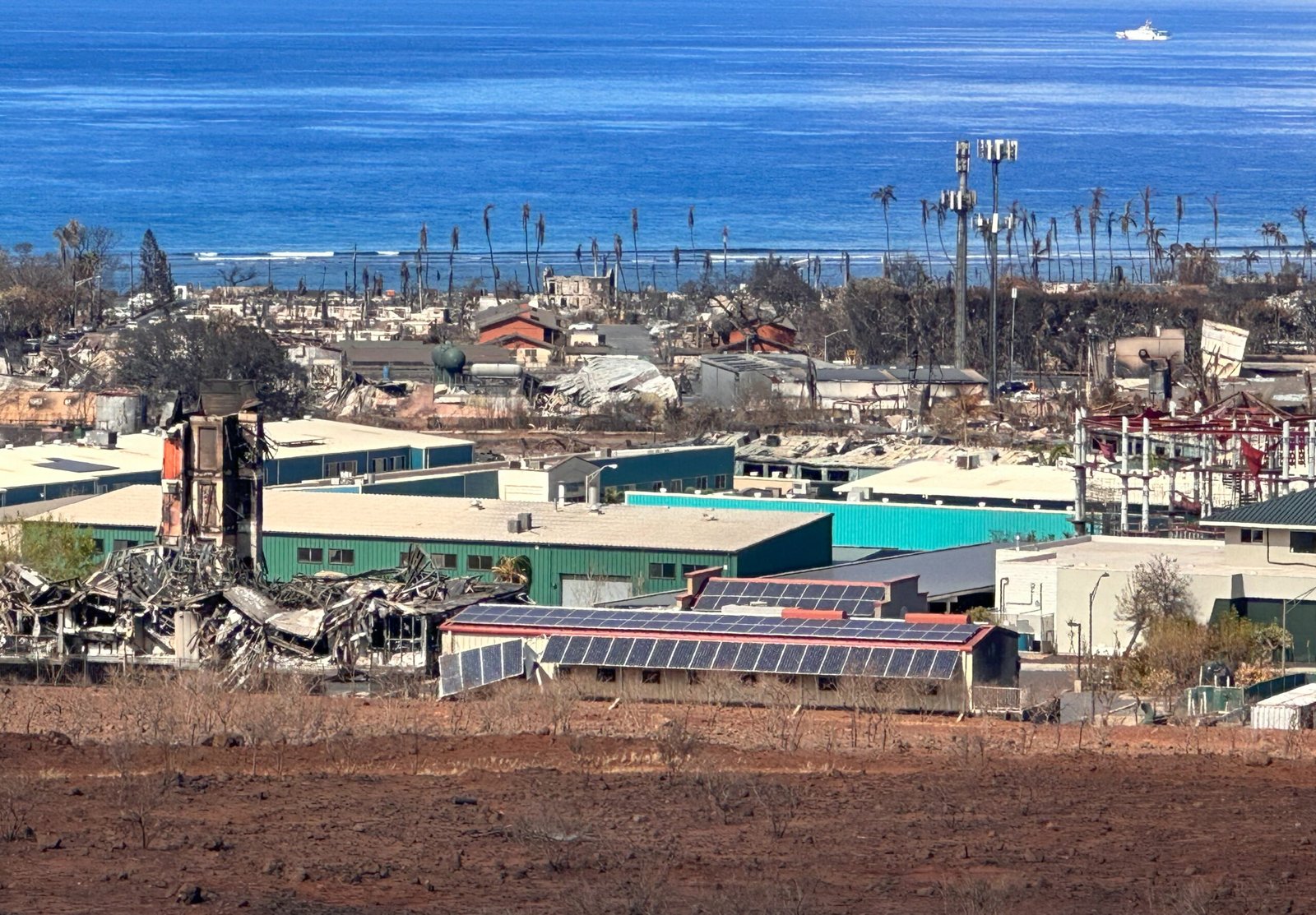
The work doesn’t end when the flames go out. AI is helping states assess damage and plan for recovery after disasters strike. By analyzing drone footage and satellite images, AI can quickly map burned areas, estimate property losses, and identify critical infrastructure that needs repair. This information speeds up insurance claims and helps officials target aid where it’s needed most. In the long run, the data collected is used to refine fire prevention strategies, making each season a little safer than the last.
Training Firefighters with AI Simulations
Fighting wildfires is dangerous, unpredictable work. To prepare their crews, states are now using AI-driven simulations that mimic real-world fire scenarios. These virtual training grounds allow firefighters to practice their skills in a safe, controlled environment. The AI can change variables like wind speed or humidity, forcing trainees to think on their feet. This hands-on experience builds confidence and sharpens decision-making, making firefighters more effective when facing the real thing. One veteran firefighter described it as “the closest you can get to a wildfire without getting burned.”
AI and Environmental Monitoring for Prevention
Prevention is always better than cure, and AI is helping states keep a watchful eye on the environment. By tracking long-term changes in temperature, soil moisture, and plant health, AI systems can flag regions that are becoming dangerously dry or overgrown. Land managers then intervene with controlled burns or tree thinning before a disaster can ignite. This proactive use of AI means fewer emergencies and healthier forests in the long run. It’s a quiet revolution in conservation that’s gaining ground every year.
Public Health and Safety: AI’s Human Touch
Wildfires aren’t just a threat to property—they’re a serious health hazard. Smoke can travel hundreds of miles, putting vulnerable people at risk. AI is now being used to track air quality in real time, issuing warnings when pollution levels spike. Hospitals and clinics use this data to prepare for an influx of patients with respiratory issues. By connecting health data with fire forecasts, states can deploy resources to the areas that need them most. For families, this means fewer surprises and more time to protect loved ones.
AI for Wildlife Protection During Disasters
When wildfires rage, it’s not just humans who suffer. Wildlife is often caught in the crossfire, with habitats destroyed in minutes. Some states are using AI to track animal movement via GPS collars and remote cameras. When a fire approaches, AI can help predict which migration routes are safest, guiding conservationists as they steer animals away from danger. After the fire, AI helps identify the best places to restore habitat. It’s a lifeline for countless species—from deer and elk to tiny songbirds—struggling to survive in a changing world.
Collaborative Networks: Sharing AI Innovations
No single state can go it alone in the fight against wildfires and disasters. That’s why these eight states are building collaborative networks to share AI tools, data, and best practices. By learning from each other’s successes and setbacks, they’re accelerating progress and avoiding costly mistakes. These partnerships stretch across state lines, involving universities, tech companies, and federal agencies. Together, they’re shaping a future where disaster response is smarter, faster, and more humane.
Challenges and the Road Ahead
Despite all the promise, using AI to fight wildfires isn’t without challenges. Training AI systems requires massive amounts of clean, reliable data—which isn’t always easy to come by in remote or underfunded regions. There’s also the risk of over-reliance on technology, with humans needing to stay vigilant and ready to override AI when things go wrong. Still, the momentum is clear: AI is becoming an indispensable tool in the ongoing battle against natural disasters. As technology evolves, so too will our ability to protect the places and people we love.
Looking Forward: A Call to Action
The story of eight U.S. states harnessing AI to fight wildfires and disasters is one of hope, resilience, and relentless innovation. Every new tool, every fresh idea, brings us closer to a world where nature’s fury is met with science’s best defenses. As wildfires become more frequent and severe, the need for bold action is greater than ever. Will we rise to the challenge and embrace technology’s promise—or wait until it’s too late?