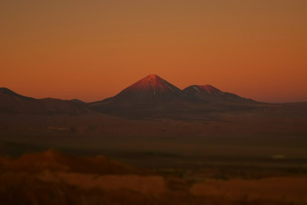
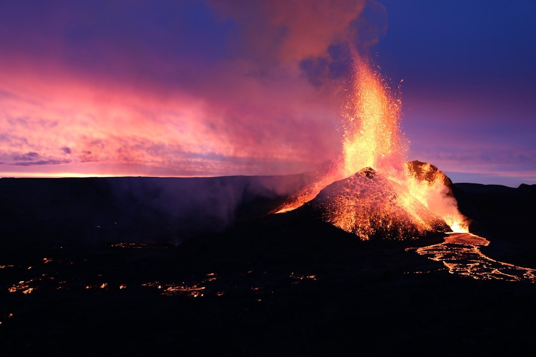
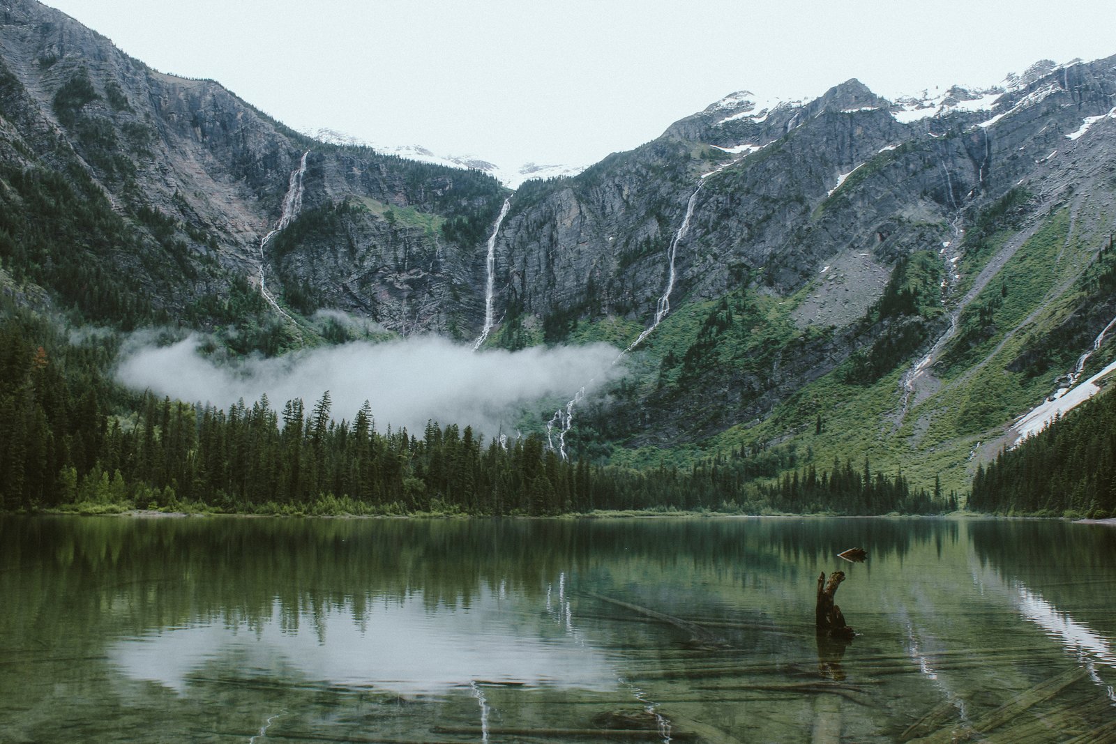
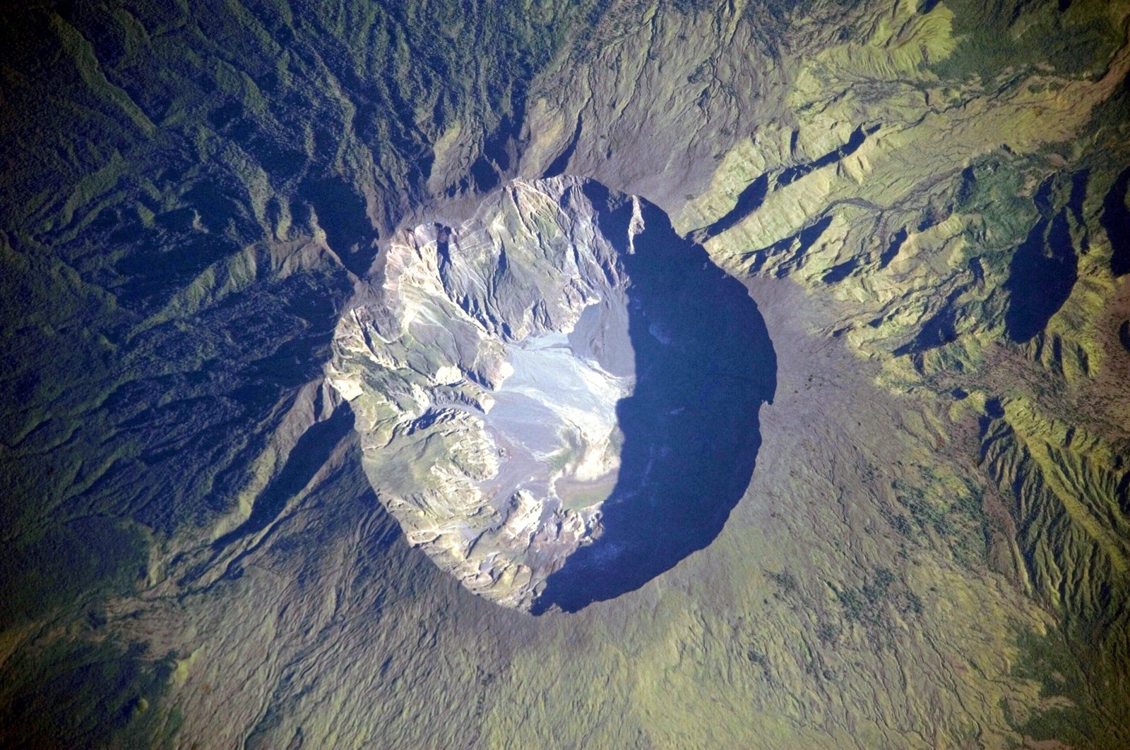
Whole cities are not supposed to disappear between dusk and dawn – yet history keeps proving otherwise. From volcanic avalanches to collapsing mountains, sudden burial has turned thriving streets into frozen time capsules and, sometimes, mass graves. Today’s scientists read those sealed layers like reporters at a crime scene, reconstructing the minutes that changed everything and the decisions that shaped survival. The mystery is never just how a city died, but how its loss now helps protect the living. This is where tragedy becomes data, and data becomes a second chance.
Pompeii: A City Stopped Mid‑Breath
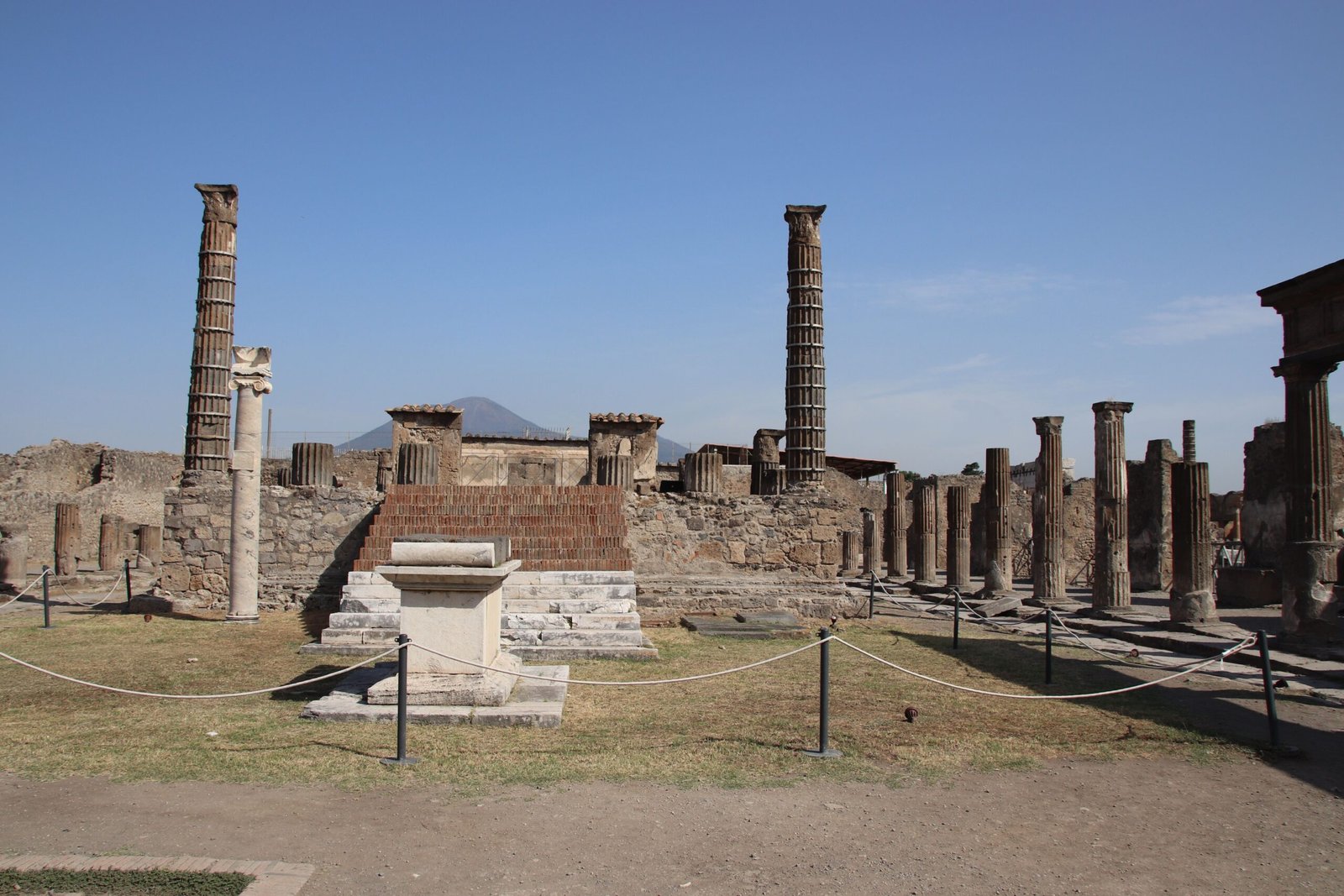
What does it look like when ordinary life ends in a single night? In Pompeii, fine ash settled first like gray snow, then pyroclastic surges rushed in and turned streets into still frames of panic and routine. Plaster casts capture final postures, but the science runs deeper – microscopic ash shards map wind shifts, and deposited layers clock the tempo of the eruption hour by hour.
Bioarchaeologists analyze bones and teeth to reconstruct diets and disease, showing a port town tied tightly to trade and seasonal harvests. Even garden soils hold pollen that sketches late-summer plantings, aligning with the eruption timeline. The lesson is clinical and human at once: hazards escalate in stages, warning signs accumulate, and indecision can be fatal.
Herculaneum: Heat, Water, and a Library in the Dark
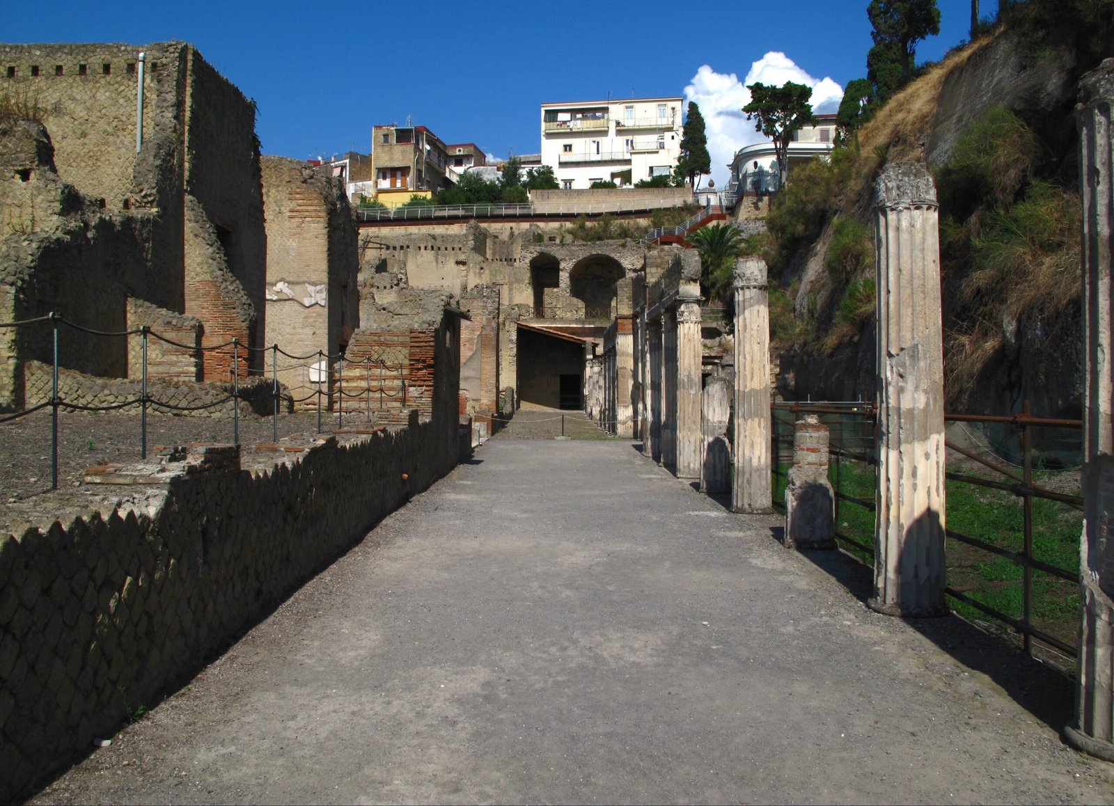
Just up the coast, Herculaneum vanished under surges so hot they carbonized wood and sealed an entire seaside neighborhood. Along the old shoreline, boat houses filled with victims tell a story of flight cut short by heat and ash. In villas uphill, a different treasure survived – the carbonized scrolls of a private library, locked into black cylinders.
Non‑destructive X‑ray imaging and machine‑learning techniques now tease legible ink patterns from those scrolls without unrolling them. That means philosophy, poetry, and private notes are returning word by word, giving voice to a city silenced in minutes. We are learning that catastrophe can protect knowledge as fiercely as it destroys people.
Akrotiri: The Evacuation That Worked
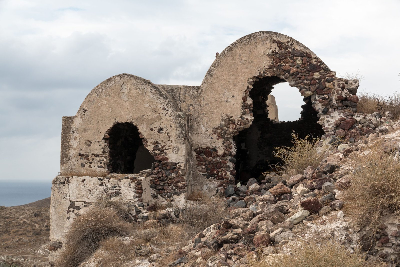
On Santorini, the Bronze Age town of Akrotiri was buried under thick tephra from a colossal eruption, yet archaeologists have found remarkably few bodies. Streets lined with multi‑story homes, frescoed walls, and plumbing show a place that planned for comfort and trade, not extinction. The absence of human remains suggests people had warning and moved out in time.
Tephrochronology – using fingerprinted volcanic ash to synchronize timelines – places Akrotiri inside a wider Aegean shock, with tsunamis and fallout rippling outward. Excavations reveal packed belongings and shuttered doorways, hints of an orderly departure. Preparedness, even in antiquity, was the difference between a disaster scene and a preserved city without its citizens.
Joya de Cerén: Daily Life Sealed in Ash
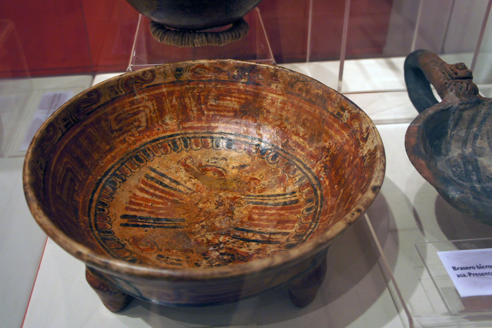
In El Salvador, the farming community of Joya de Cerén vanished beneath a sudden eruption that entombed kitchens, storage jars, and fields in astonishing detail. Thatch roofs, woven baskets, and even footprints survived, capturing an instant of ordinary life that would have otherwise rotted away. It is often called a New World counterpart to Pompeii, but its power lies in the small things.
Archaeobotanists have identified crops like manioc and maize still in situ, a rare window into Central American agriculture and cuisine. The site proves that rapid burial can be a time machine for the everyday, not just the elite. When scientists rebuild a village meal from charred seeds, they rebuild the people, too.
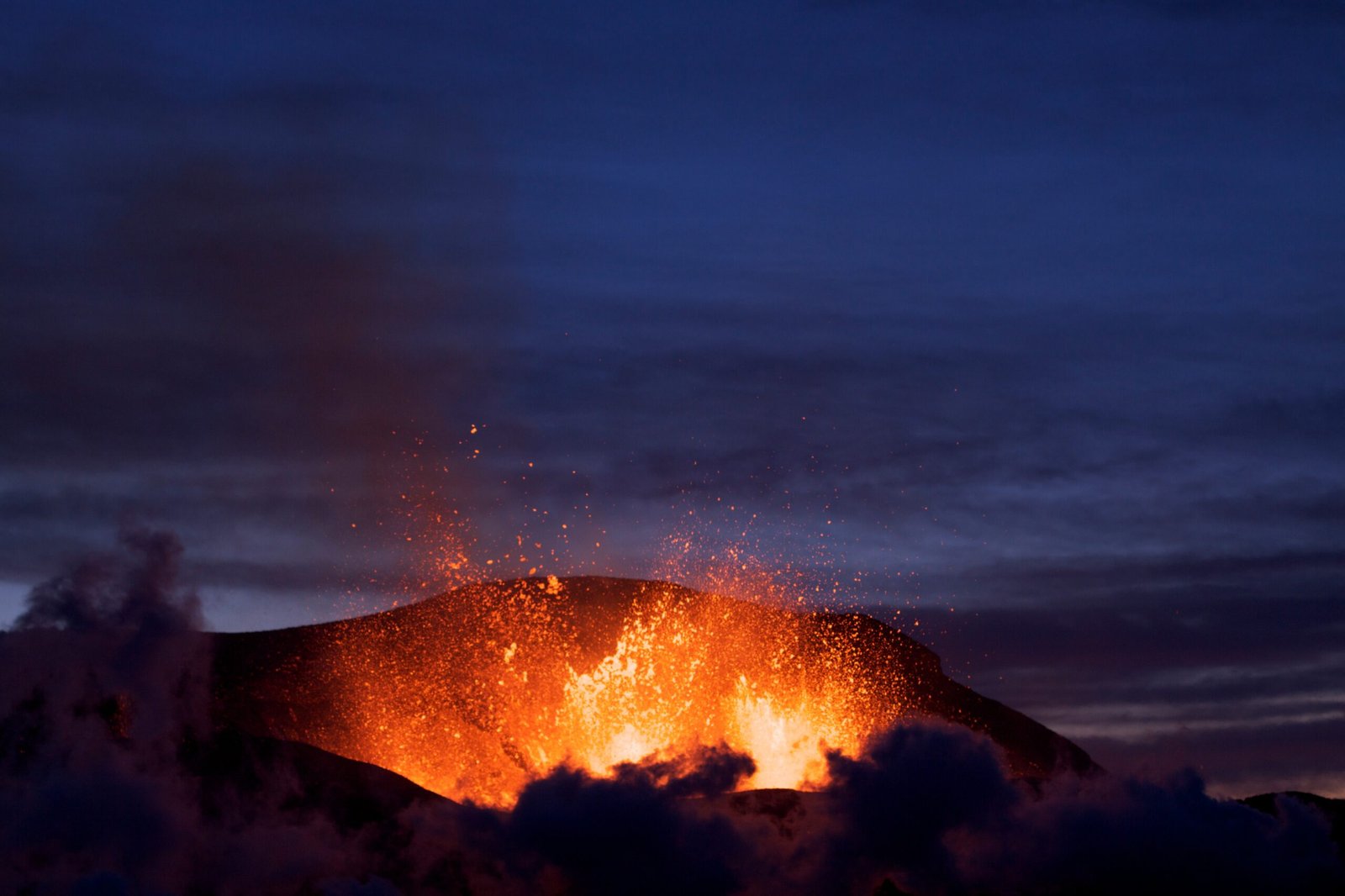
St. Pierre, Martinique: The Day the Mountain Arrived
On a morning in 1902, a superheated cloud from Mount Pelée slammed into St. Pierre and shredded the city within minutes. Masonry toppled, boats burned in the harbor, and nearly the entire population was lost before anyone could outrun the blast. The physical record – melted glass, scorched masonry, and a coarse layer of volcanic debris – reads like a pulse of heat and wind frozen in place.
Forensic volcanology uses grain sizes and deposit thickness to reconstruct speed, temperature, and direction of the deadly surge. The event reshaped modern hazard mapping, evacuation drills, and how officials interpret restless volcanoes. The clearest lesson is brutal: when a volcano wakes violently, hesitation costs lives.
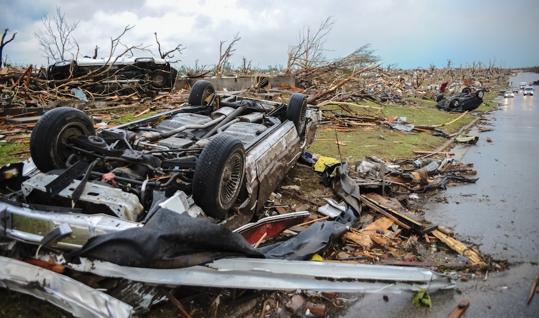
Armero, Colombia: The Map No One Heeded
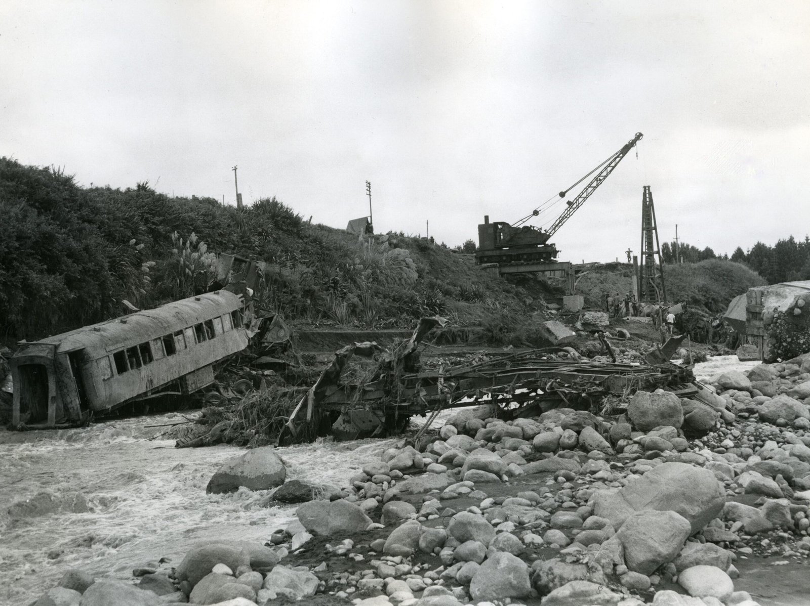
Armero disappeared overnight in 1985 when a lahar – a cement‑like torrent of melted ice, ash, and rock – raced down from Nevado del Ruiz after a nocturnal eruption. The town lay squarely in a known flood path, yet warnings were contested and evacuation came too late. By dawn, homes lay under meters of mud and tangled debris.
Post‑disaster studies transformed lahar forecasting and communication protocols across the Andes and beyond. Today’s hazard plans pair instrument networks with simple, redundant alerts, because technology alone does not move people. Armero became the case study that turned colored maps into urgent action plans.
Yungay, Peru: When a Mountain Turned to Liquid Stone
After a massive earthquake in 1970, a chunk of Huascarán broke loose and pulverized into a high‑velocity avalanche, burying Yungay in a churning wave of rock, ice, and dust. Survivors reached higher ground at a hillside cemetery; below, the town vanished beneath a new landscape. The deposit now looks like a frozen river with houses, trees, and lives mixed into its flow.
Geomorphologists track the boulder sizes and runup marks to model speed and pressure, improving maps for future rock‑ice avalanches in a warming world. The memorialized hazard zone stands as a permanent warning: mountains do not need lava to move like liquid. Cold catastrophes can be just as fast as fiery ones.
The Hidden Clues: Reading Cities Entombed in Minutes
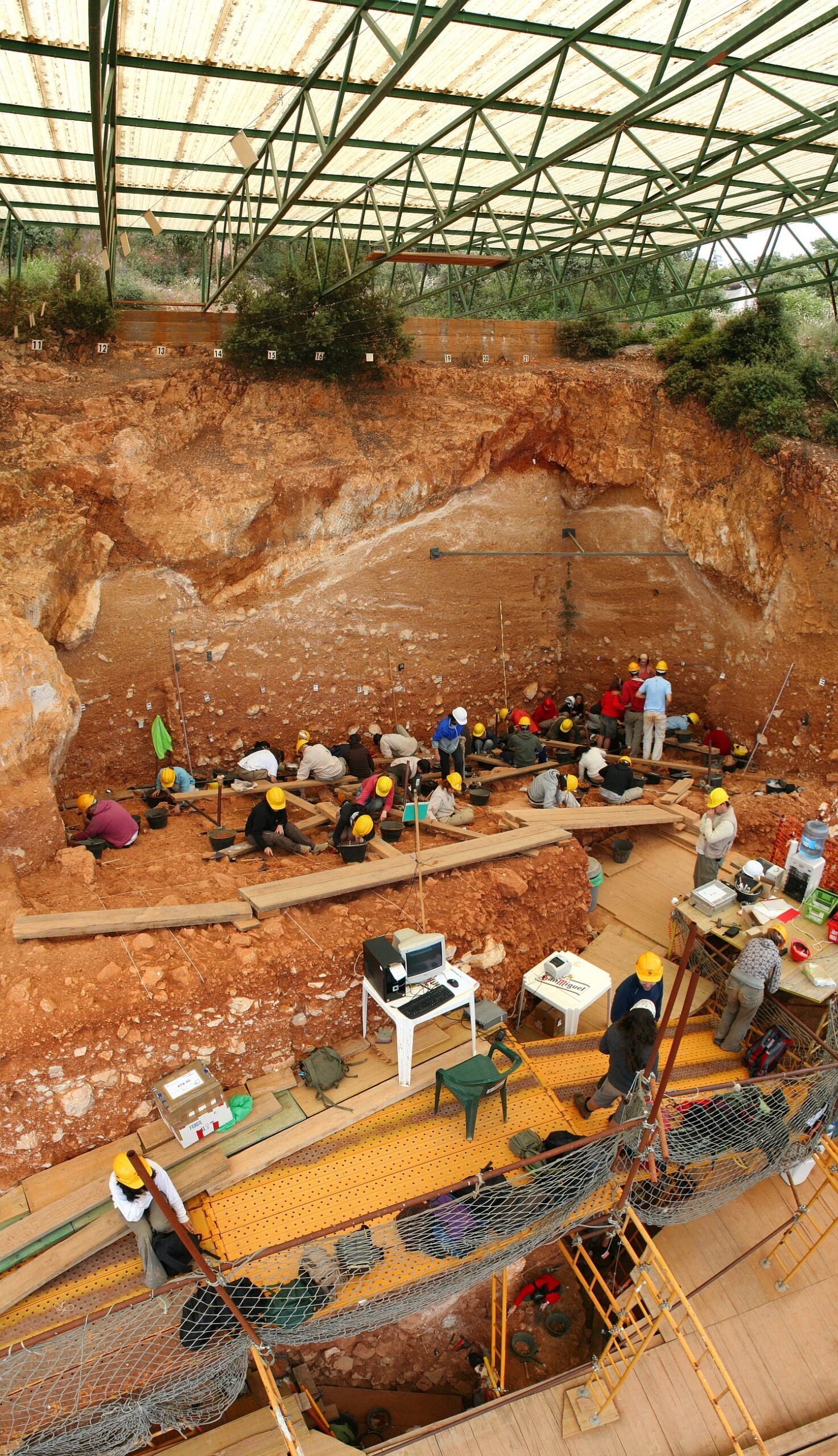
These sites are not just stories; they are datasets layered in dust, pumice, and mud. Scientists read them using methods that have matured dramatically in recent years, letting us reconstruct not just what happened, but how quickly and in what order. It’s a shift from static ruins to time‑resolved events.
Across labs and dig sites, investigators lean on tools such as:
– Tephrochronology to match ash layers across regions like a geological barcode.
– Ground‑penetrating radar and LiDAR to map buried streets and collapsed roofs.
– InSAR satellites to watch ground swell or sink before and after eruptions.
– High‑resolution CT imaging to study carbonized artifacts and scrolls without destroying them.
Each technique tightens the clock on catastrophe and expands the playbook for response.
Why It Matters: Rapid Burials, Faster Warnings
I walked the ash‑lined lanes of Pompeii once and was struck by the ordinariness of a catastrophe that still feels fresh. These places show that disasters are sequences, not single moments – fallout that muffles, surges that strike, and secondary floods that finish the job. Understanding the sequence is how you decide when to tell people to stay, to go, or to run.
Compared with traditional site reports that catalog artifacts, modern disaster archaeology asks how layers behave in time and what that means for public safety. Lessons from buried cities now feed directly into volcano observatory protocols, evacuation thresholds, and urban planning in hazard corridors. The past is not a backdrop; it’s the training ground.
The Future Landscape: Satellites, Sensors, and Tough Choices
Next‑generation satellites will stare at restless volcanoes day and night, flagging swelling domes and hot spots before they breach the surface. Low‑cost sensors and community networks will turn entire valleys into early‑warning meshes that keep working even when power fails. Machine‑learning models will fold in decades of eruption records and real‑time data to nowcast risk like a weather report.
The hardest part won’t be math; it will be trust and governance. Cities will need to decide when to pause commerce, move schools, or redraw hazard zones long before the sky darkens. Technology can point to the exit, but people still have to take it.
Conclusion: What You Can Do Today
Look up your local hazard maps if you live near mountains, coasts, or river valleys, and learn the simplest evacuation routes by heart. Support observatories, museums, and science programs that translate complex signals into plain advice for your community. When alerts come, treat them as practice for future you, not as inconveniences for present you.
Travelers can visit memorials and preserved sites respectfully, because remembrance funds research and keeps hard‑won lessons public. Teachers can fold these case studies into classrooms so the next generation recognizes the signs sooner. In the end, buried cities give us a voice from under the ash – are we listening?

Suhail Ahmed is a passionate digital professional and nature enthusiast with over 8 years of experience in content strategy, SEO, web development, and digital operations. Alongside his freelance journey, Suhail actively contributes to nature and wildlife platforms like Discover Wildlife, where he channels his curiosity for the planet into engaging, educational storytelling.
With a strong background in managing digital ecosystems — from ecommerce stores and WordPress websites to social media and automation — Suhail merges technical precision with creative insight. His content reflects a rare balance: SEO-friendly yet deeply human, data-informed yet emotionally resonant.
Driven by a love for discovery and storytelling, Suhail believes in using digital platforms to amplify causes that matter — especially those protecting Earth’s biodiversity and inspiring sustainable living. Whether he’s managing online projects or crafting wildlife content, his goal remains the same: to inform, inspire, and leave a positive digital footprint.