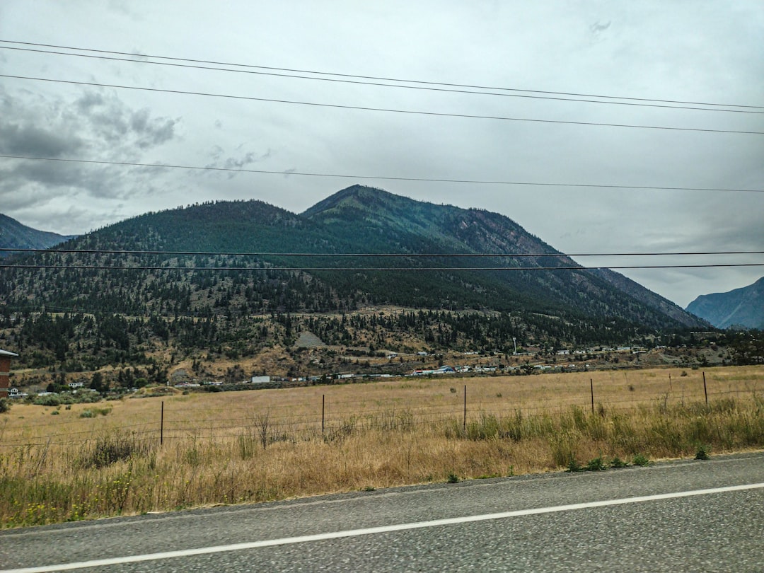
Across the American landscape, some of our most iconic summits are not finished yet – they’re inching skyward while we go about our lives. The mystery is deceptively subtle: growth measured in millimeters each year, but compounded over centuries by relentless tectonic pressure. Researchers are now reading these movements like heartbeats, mapping tiny uplifts that signal deep forces at work along faults, subduction zones, and volcanic plumbing. It’s a moving target in every sense, with peaks that breathe, buckle, and build as plates grind and glide. The puzzle isn’t whether they are rising, but how fast, how unevenly, and what that means for the places we love.
The Hidden Clues
Here’s the surprise: mountain growth often hides in plain sight, encoded in subtle tilts of highway overpasses, creeping offsets in rock walls, and radar ripples nobody sees with the naked eye. The crust flexes like a slow-motion spring, storing strain that shows up as bare millimeters of vertical change each year on high ridgelines. In the field, scientists notice offset stream terraces or fresh scarps etched into alluvial fans, the geological equivalent of footprints in wet sand showing recent passage.
Back in the lab, high-precision GPS stations capture these shifts around the clock, while satellite interferometry stitches together repeat images into shimmering contour lines of uplift. Taken together, the patterns betray living mountains, still driven by faults and magma bodies that refuse to rest. The data are small, the implications vast, and the story – still being written – turns static postcards into a time-lapse of Earth’s restless engine.
From Ancient Tools to Modern Science
Early surveyors relied on brass theodolites, star sightings, and chained baselines to sketch the nation’s topography, leaving benchmarks hammered into bedrock that we still revisit. Those relics now pair with constellations of satellites, allowing researchers to compare century-old elevations with today’s, often finding slight but persistent upward drift. The long view matters, because mountains don’t declare themselves with fanfare; they whisper in trends only visible across decades.
Modern techniques layer on detail, from airborne LiDAR stripping away forests to reveal razor-thin fault scarps, to drones that model summit blocks down to pebbles. Dense networks of continuous GPS receivers report changes in near real time, tightening the margin between suspicion and certainty. The result is a living ledger of motion, where even seasonal snow loads and magma pulses show up as distinct signatures against slow, tectonic lift.
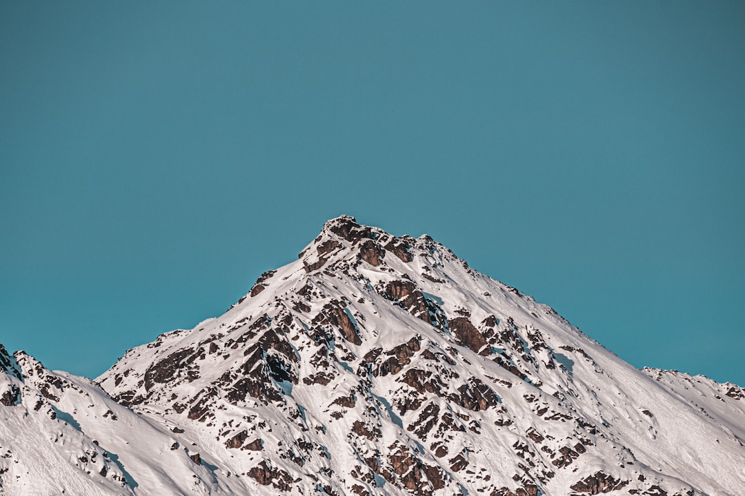
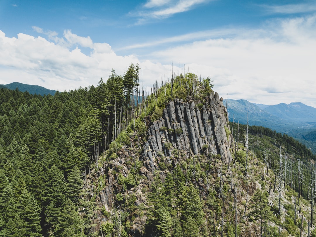
A Dozen Peaks Still on the Move
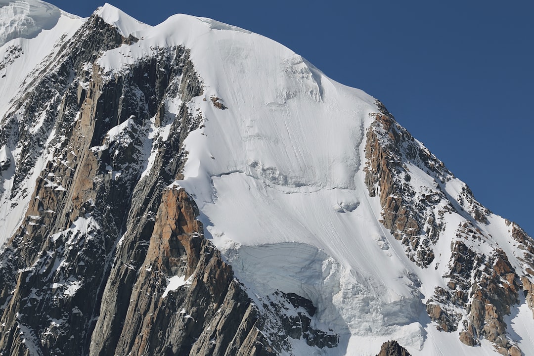
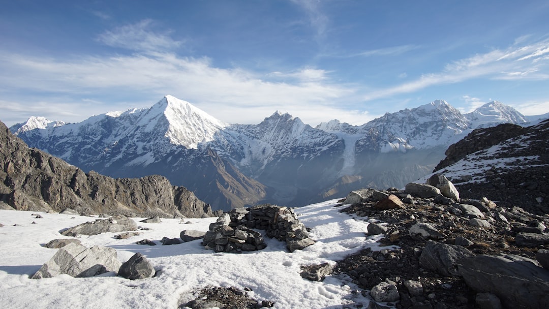
In Alaska, Denali rises above an active fault system that nudges parts of the Alaska Range upward at rates of a few millimeters each year, and nearby Mount St. Elias ranks among the fastest-lifting coastal summits on the continent. Along the accretionary wedge of the Pacific Northwest, Washington’s Mount Olympus rides an underplating conveyor that adds crust from below, a quiet push that keeps the Olympic Mountains young. Farther inland, Mount Rainier stands on a living subduction arc where volcanic construction and regional uplift continue their uneasy duet.
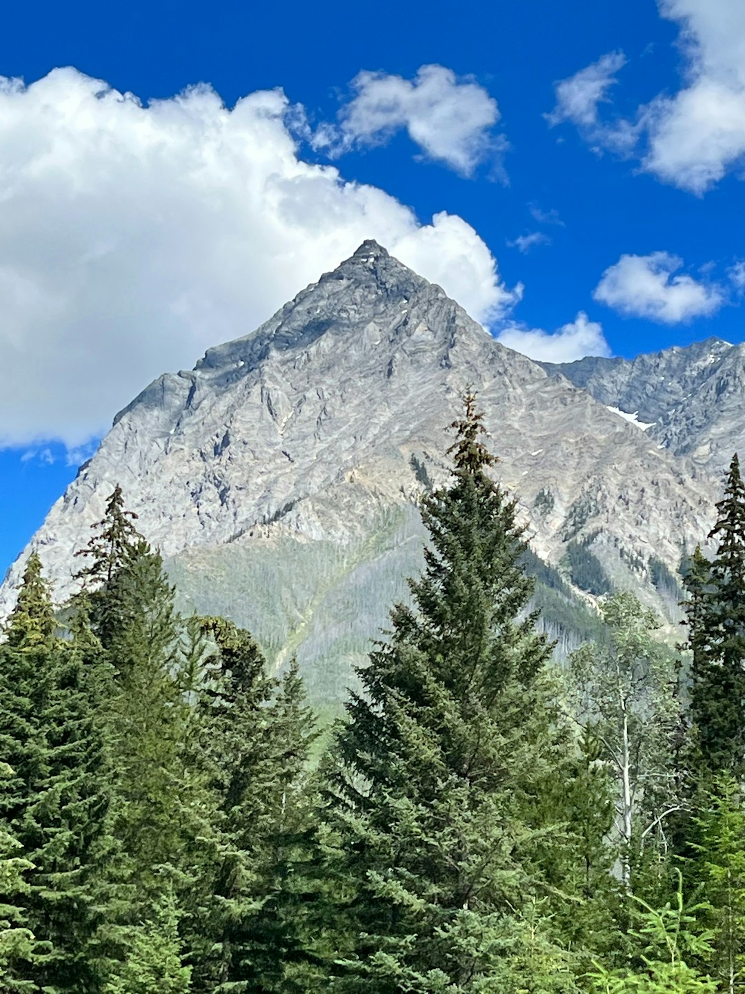
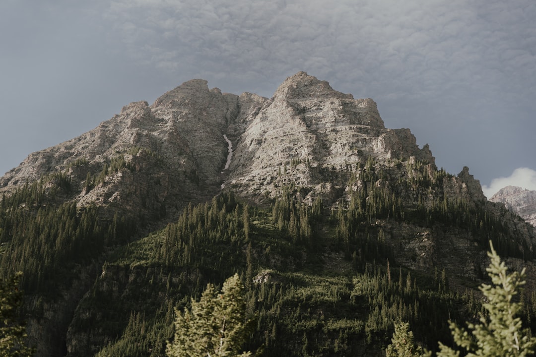
Volcanic peaks in the Cascades – Mount St. Helens, Mount Hood, Mount Shasta, and Lassen Peak – grow episodically as magma ascends, inflates, and occasionally erupts to add new rock to the edifice. California’s Mount Whitney crowns a Sierra Nevada block that, on average, is still tilting and rising due to deep crustal forces and ongoing plate-boundary shear. In the interior West, Grand Teton surges along an active normal fault while Utah’s Mount Nebo rides the Wasatch system, and Southern California’s San Gorgonio is thrust up within the compressed Transverse Ranges, all recording measurable, modern uplift.
What Pushes Them Up
Where the Pacific Plate dives beneath North America, the crust thickens and shortens, building mountains through a blend of stacking, folding, and volcanic additions. In places where plates slide past or kink, like the Big Bend of the San Andreas, blocks squeeze upward as if caught in a vice, creating steep, rapidly rising ranges beside sprawling cities. Elsewhere, normal faults hoist one side while the other drops, turning valleys into basins and front ranges like the Tetons into abrupt, rising walls.
Magmatic systems complicate the picture by inflating volcanic cones and intruding sills and dikes that add rock from within, the subterranean scaffolding of a taller mountain. Even erosion can paradoxically help, as unloading a ridge reduces weight and encourages isostatic bounce, preserving elevation gains despite losses of rock. The net result is a tug-of-war, but in these twelve locations, the upward team still has the rope.
Measuring the Millimeters
Continuous GPS stations nail bedrock to a three-dimensional grid, registering movements comparable to the thickness of a credit card over months, and a pencil’s width over years. Satellite radar interferometry, or InSAR, turns successive orbital passes into precise maps of uplift and subsidence, sensitive enough to track inflation beneath individual volcanic domes. Together, these instruments separate long-term tectonic rise from short-lived wiggles caused by seasons, storms, or magma breath.
Researchers stack the observations with repeat LiDAR surveys, legacy benchmarks, and elastic models of the crust to test whether growth is steady, pulsed, or patchy. In several of these mountain belts, the pattern is unmistakable: systematic, localized uplift that aligns with mapped faults, seismic clusters, or arc volcanism. The certainty grows as each technique agrees, and the mountains’ quiet ascent becomes a measured, reproducible fact rather than a hunch.
Why It Matters
Rising mountains reshape hazard maps, because uplifted ranges often come with active faults capable of strong earthquakes, landslides, and rockfall corridors. Communities near the Wasatch Front, Los Angeles Basin, Cascades, and Alaska’s foothills live with that trade-off: spectacular scenery paired with a need for resilient building codes and smart land use. Water security also rides on ridges that are still climbing, since uplift alters snowpack distribution, stream gradients, and the timing of runoff that fills reservoirs downstream.
There’s a broader scientific payoff too, because confirming modern growth tests long-standing models of how North America accommodates plate motion. Classic textbook views of static mountains give way to a more dynamic portrait that explains clustered earthquakes, warped basins, and the march of volcanic arcs. Upward motion, while subtle, is the connective tissue that ties deep mantle flow to daily life on the surface.
The Future Landscape
Next-generation constellations of radar satellites will shorten revisit times to days, tightening constraints on uplift pulses that once slipped through the cracks between long repeat intervals. Dense low-cost GNSS networks will place precise receivers on more summits, canyons, and valley floors, catching spatial patterns of growth that traditional stations missed. Machine-learning tools will sift the torrents of data to tease out tectonic signals from weather, snow loads, and vegetation changes.
Field campaigns will keep pace, using fiber-optic cables as kilometers-long strain meters and deploying portable gravimeters to watch mass shifts beneath restless peaks. The practical forecast is not dramatic cliffs leaping higher, but incremental, persistent rise that reshapes hazard horizons and guides smarter infrastructure. In a century, the difference may be measured in inches to feet, yet the societal dividends of tracking it will be far larger.
From Local Stories to Continental Patterns
Seen together, the twelve climbing peaks are not isolated oddities but anchors along an active margin that defines the American West and Alaska. Denali and St. Elias highlight the raw collision energy of subduction and accretion, while the Cascades show how magma and compression build mountains in tandem. The Sierra Nevada, Transverse Ranges, Tetons, and Wasatch spell out a mosaic of uplift styles stitched across a continent-wide stress field.
This pattern matters for regional planning, because corridors for highways, power lines, and aqueducts often thread the very zones that are still rising. It also reframes conservation, since protected high country is both a refuge for biodiversity and a living laboratory of ongoing Earth processes. The more clearly we see the pattern, the better we can balance access, safety, and the awe that draws people there in the first place.
Conclusion
Support the stations that make the invisible visible by advocating for sustained funding of GPS, InSAR, and seismic networks in your region. If you live near the Wasatch Front, the Tetons, Southern California ranges, Cascades, or Alaska’s mountain corridors, learn your local fault system and push for hazard-aware zoning and retrofits. When you visit high country, respect closures around unstable slopes and volcanic vents, which are often placed where uplift and erosion are actively at work.
Educators and hikers alike can amplify the story by sharing how mountains grow, turning scenic overlooks into teachable moments about living geology. Conservation groups need volunteers and donors to help protect vulnerable alpine habitats that evolve along with the rising terrain. The mountains are moving; the most powerful thing we can do is move with knowledge, humility, and purpose – what part will you take on next?

Suhail Ahmed is a passionate digital professional and nature enthusiast with over 8 years of experience in content strategy, SEO, web development, and digital operations. Alongside his freelance journey, Suhail actively contributes to nature and wildlife platforms like Discover Wildlife, where he channels his curiosity for the planet into engaging, educational storytelling.
With a strong background in managing digital ecosystems — from ecommerce stores and WordPress websites to social media and automation — Suhail merges technical precision with creative insight. His content reflects a rare balance: SEO-friendly yet deeply human, data-informed yet emotionally resonant.
Driven by a love for discovery and storytelling, Suhail believes in using digital platforms to amplify causes that matter — especially those protecting Earth’s biodiversity and inspiring sustainable living. Whether he’s managing online projects or crafting wildlife content, his goal remains the same: to inform, inspire, and leave a positive digital footprint.