
You probably think of old manuscripts as dusty, half-wrong stories that modern research has moved past. Yet again and again, explorers and archaeologists have walked into deserts, jungles, and remote coastlines with nothing more than a battered text in hand – and found exactly what the writer said would be there. At the same time, those same manuscripts often contain passages that nobody has ever seriously followed up on, hints of places and discoveries still sitting there in ink, waiting for you to notice them. In this article, you’ll walk through eleven real cases where manuscripts described locations later confirmed by expeditions or excavation – and you’ll also see the lines that were skimmed over, dismissed, or quietly ignored. You’re not just reading history here; you’re looking at a kind of to‑do list humanity never finished. By the end, you may find yourself wondering which forgotten paragraph could still rewrite a map.
The Periplus of the Erythraean Sea: Ports You Can Still Stand In, Ports That Vanished
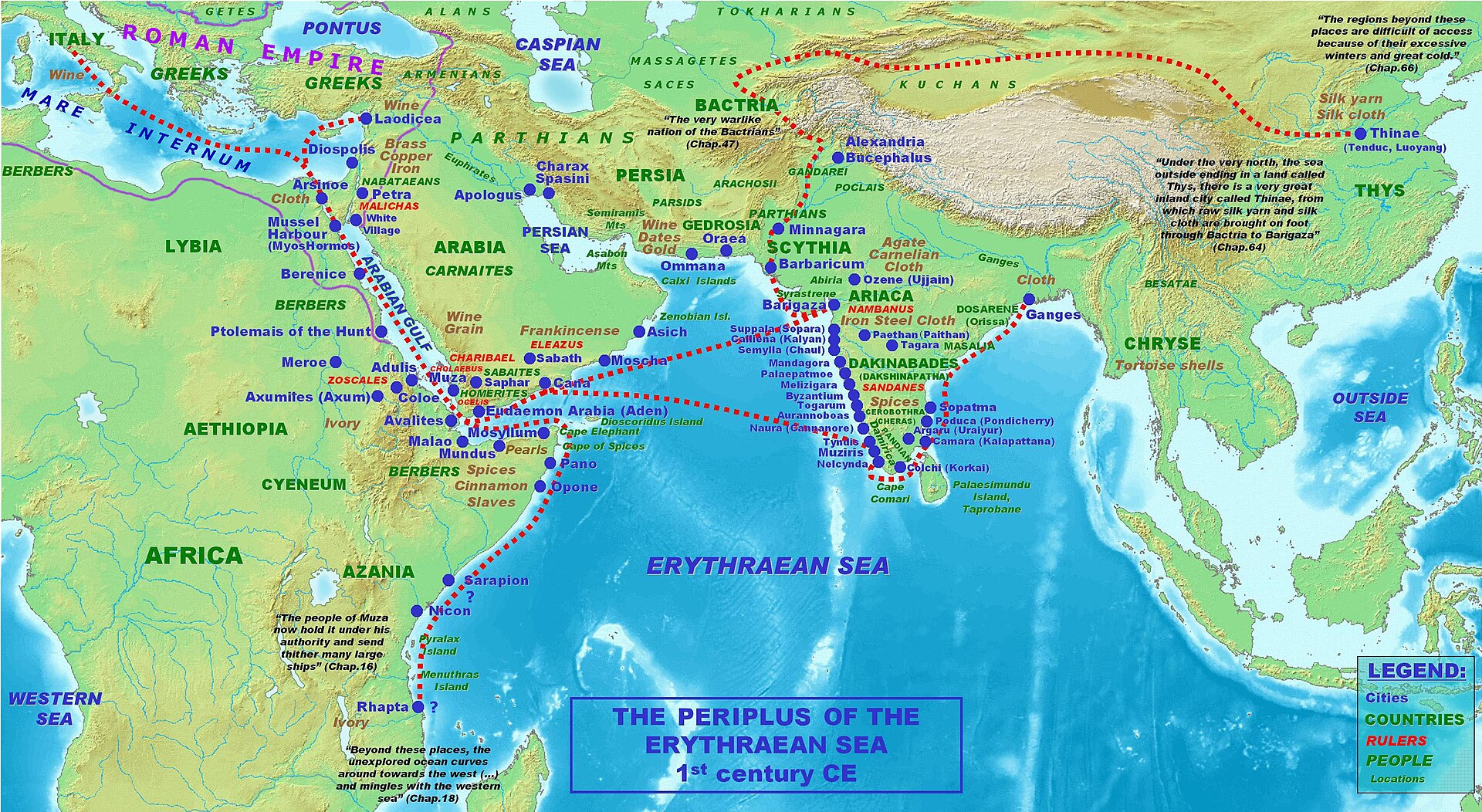
If you’ve ever followed a GPS, you’ve basically done what merchants along the Red Sea and Indian Ocean did with the Periplus of the Erythraean Sea. This first‑century Greek guidebook lays out sailing directions, distances, and detailed notes on ports from Roman Egypt down the East African coast and across to India. Many of the harbors it lists – like Myos Hormos and Berenice in Egypt or Adulis on the African side – line up strikingly well with sites that archaeology has since surveyed and, in some cases, excavated, confirming the text’s practical reliability as a mariner’s handbook rather than a fantasy travelogue. ([depts.washington.edu](https://depts.washington.edu/silkroad/texts/periplus/periplus.html?utm_source=openai)) But then the same manuscript mentions places like Rhapta, “the last port of Azania,” in such vivid yet ambiguous detail that modern scholars still argue about where exactly it was. You’re told about ivory, tortoiseshell, and a particular kind of sewn boats, but the coordinates are essentially narrative rather than numerical, and fieldwork along stretches of the Tanzanian coast has not nailed it down. ([periplus.arch.uoa.gr](https://periplus.arch.uoa.gr/texts/peripl_erythr/intro_en.html?utm_source=openai)) In other words, you have a text that has already guided real discovery in some locations, while other passages describing just‑as‑specific places remain untested leads, almost like pins on a map nobody has bothered to walk to.
Manuscript 512 and Brazil’s “Lost City” in the Chapada Diamantina
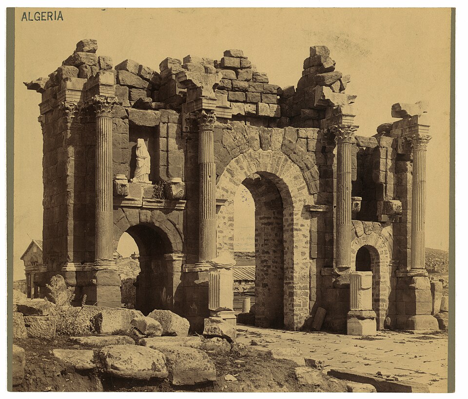
If you’re drawn to lost‑city stories, Manuscript 512 is the one that keeps archaeologists and treasure hunters awake at night. Written in eighteenth‑century Portuguese, it describes an expedition into the interior of Bahia that supposedly found an abandoned stone settlement with arches, inscriptions, and streets – completely unknown to colonial authorities. The document surfaced in the nineteenth century in the National Library of Brazil and inspired multiple expeditions into the Chapada Diamantina region, because its route description, rivers, and general landscape do match real Brazilian geography. ([en.wikipedia.org](https://en.wikipedia.org/wiki/Manuscript_512?utm_source=openai)) Here’s the catch: none of those expeditions ever found a city that looks like what the manuscript describes. Some scholars have argued that the writer exaggerated natural rock formations into “ruins,” and others suspect that the author combined local tales of runaway slave communities hiding among cliffs with bits of classical fantasy. ([en.wikipedia.org](https://en.wikipedia.org/wiki/Manuscript_512?utm_source=openai)) Yet the text is oddly precise about distances, directions, and features like a particular waterfall and plateau sequence. You’re left with this uncomfortable possibility: earlier expeditions went in with specific expectations of Roman‑style ruins and, when they did not see them, they assumed the whole text was fiction – leaving its more modest but testable geographic details effectively unacted on.
Egyptian Inscriptions and the Real Trade Route to the Land of Punt
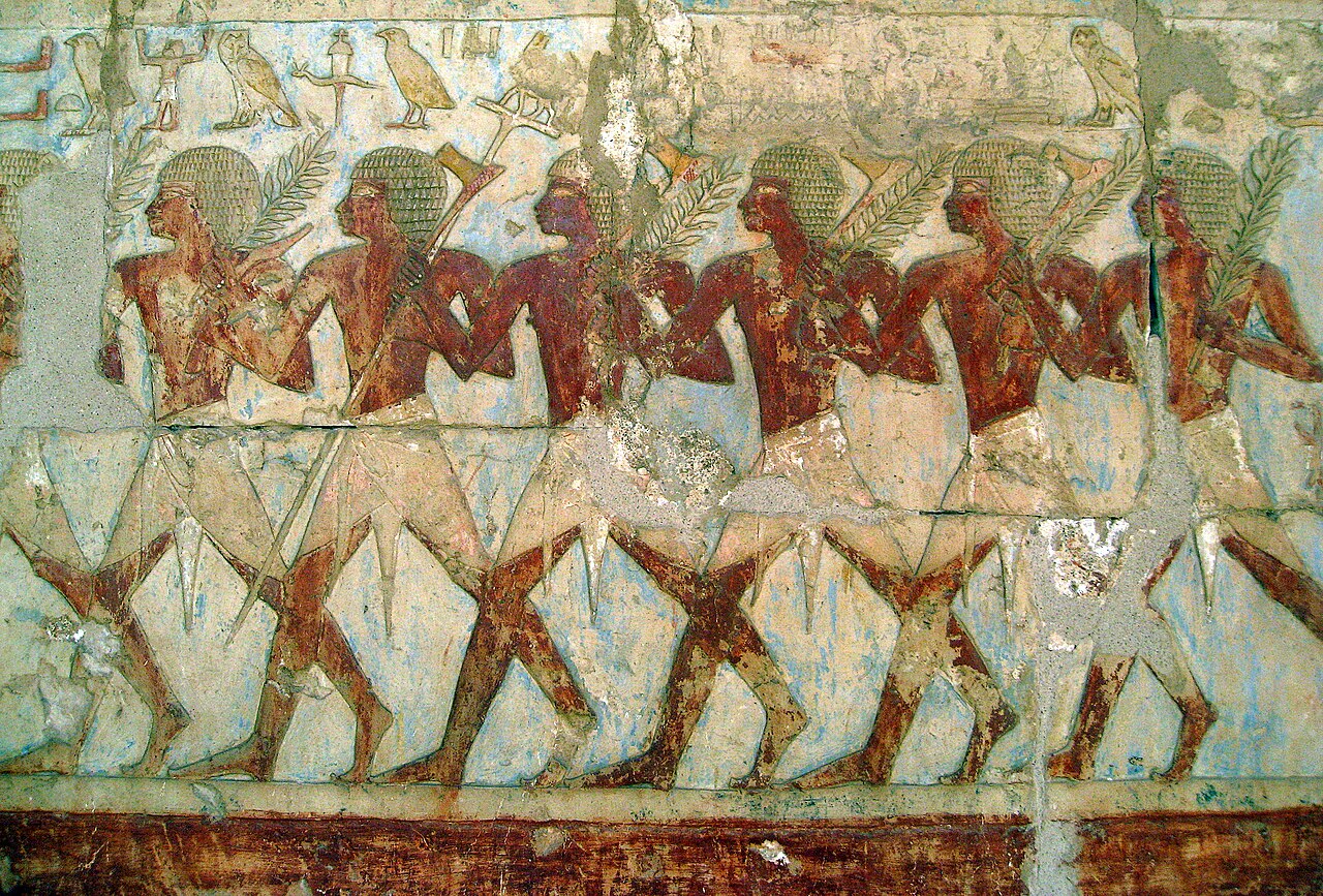
If you visit museums, you’ve probably walked past reliefs from ancient Egypt that describe journeys to a place called Punt, a land of incense trees, exotic animals, and gold. For a long time, many people treated Punt as semi‑mythical, like a Bronze Age Atlantis. Then excavations in areas along the Red Sea and in the Horn of Africa began to uncover harbor structures, pottery, and goods that fit shockingly well with what those temple inscriptions claimed about seaborne trade routes. The basic idea – that Egyptians really did sail south along the Red Sea to foreign ports for incense and luxury goods – has moved from speculation to hard archaeological fact. ([ancientportsantiques.com](https://www.ancientportsantiques.com/wp-content/uploads/Documents/PLACES/RedSea/RedSea-Power2010.pdf?utm_source=openai)) But if you read the inscriptions closely, you’ll notice how casually they mention staging posts, inland journeys, and local rulers. Those lines rarely get the same attention as the famous scenes of ships or the parade of incense trees. Even now, the exact locations of many stopover ports and overland tracks hinted at in the texts remain uncertain. Researchers have focused, understandably, on big questions like “Where was Punt?” while you still have a trail of smaller geographic clues – valley routes, mountain passes, and minor anchorages – described in stone but only lightly surveyed on the ground.
Classical Geographers and the Harbors of the Eastern Mediterranean
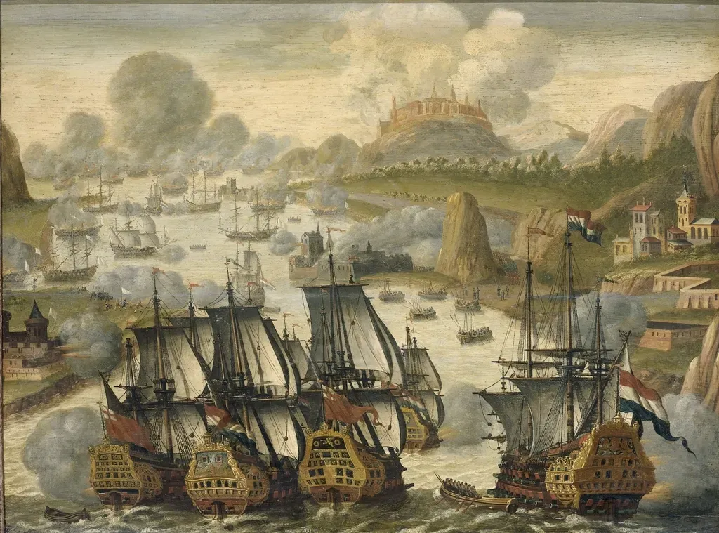
Ancient geographers like Strabo and Ptolemy may sound abstract on the page, but if you’ve ever visited a Mediterranean port that dates back to antiquity, you’ve been walking around inside their notes. Many old harbors, breakwaters, and anchorages around the Levant, Cyprus, and the Aegean were first tentatively identified because their location and layout matched passages in these writers’ works. Underwater and coastal archaeology has since confirmed quite a few of these matches by revealing stone quays, submerged piers, and layers of imported amphorae exactly where the texts suggested they would be. ([marea.soton.ac.uk](https://marea.soton.ac.uk/wp-content/uploads/sites/341/2025/06/Lecture-2.1-Maritime-Archaeology-in-the-Eastern-Mediterranean.pdf?utm_source=openai)) Yet these same manuscripts also describe minor inlets, secondary anchorages, and alternate routes with far less fanfare. Because funding and attention often chase famous names – big cities, big battles – you still have lesser‑known coves and small roadstead harbors that are mentioned once or twice in classical sources and then largely ignored in modern fieldwork. That means when you read a throwaway line about a “harbor sheltered by a small island” or a “backup anchorage used when winds shift,” you might be looking at a real place nobody has thoroughly dived on or surveyed, simply because it is not glamorous enough to make grant proposals sparkle.
John Smith’s Chesapeake Manuscripts and the Towns That Vanished into Fields
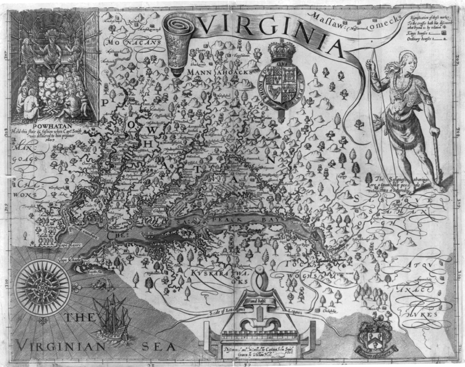
If you picture early English Virginia, odds are the mental map in your head comes from Captain John Smith’s writings, whether you realize it or not. In 1612 he published a map and a detailed description of the Chesapeake Bay region that laid out rivers, capes, and Native towns, many of which have since been confirmed by other documents and by archaeology. Excavations along the James and York rivers, for instance, have matched his reports of settlements, fort locations, and even certain travel times between sites. ([home.nps.gov](https://home.nps.gov/articles/000/john-smith-writings.htm?utm_source=openai)) But Smith also sprinkled his manuscripts with mentions of smaller Native communities, seasonal camps, and short‑lived English outposts that were never mapped with the same care. Some of those spots likely correspond to sites that have now been plowed under, built over, or simply overgrown – places where you could still pick up pieces of pottery or traces of postholes if anyone looked. Because his narrative was later mined mainly for big stories and dramatic episodes, it’s easy for you to miss that it still contains unchased leads to lesser‑known locations all around the modern Chesapeake landscape.
Medieval Pilgrim Guides to the Holy Land and Overlooked Side Routes
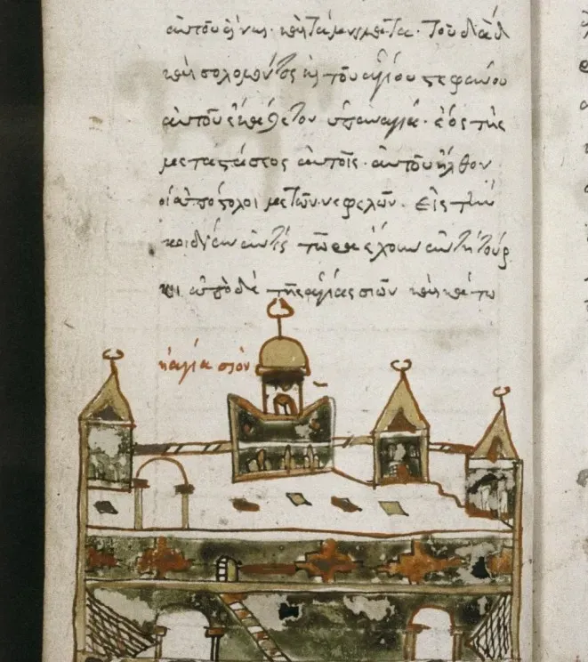
When you think about medieval travel writing, you might imagine flowery religious prose, but a lot of it is surprisingly practical. Pilgrim manuals to Jerusalem, for example, gave you step‑by‑step instructions on roads, distances, villages, hostels, and holy sites along the way. Modern historians and archaeologists have used those texts to relocate and confirm everything from forgotten monasteries to specific riverside crossing points described centuries ago. In many cases, you can stand today on a hill or at a spring and know a traveler from eight hundred years ago described that exact view. At the same time, those same guides often mention alternative side routes, secondary shrines, and tiny chapels off the main road. Because the modern focus tends to be on the big, well‑known pilgrimage destinations, you still have minor valleys, caves, and hermitages recorded in those manuscripts that have never really been given the same systematic archaeological attention. If you read them closely, you can almost feel the authors nudging you toward detours that medieval travelers sometimes took – and that modern expeditions, staying on the main historical highway, still mostly skip.
Indian Ocean Sailing Manuals and the Ghost Ports of Arabia and East Africa
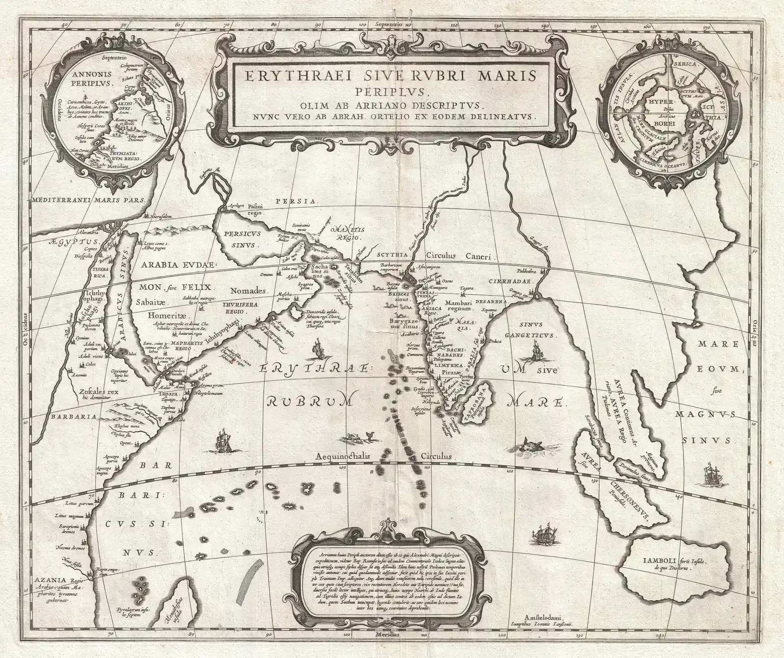
If you’ve ever navigated by a set of local tips – “follow that ridge until you see the white house, then turn” – you’ll recognize the tone of medieval Arabic and Persian sailing manuals for the Indian Ocean. These texts break down monsoon timing, currents, reefs, and coastal landmarks from the Arabian Gulf all the way to India and East Africa. Many of the ports and headlands they casually mention have been matched with real sites, where you find old wharves, warehouses, and local traditions of overseas trade that dovetail neatly with the manuscripts. ([academic.oup.com](https://academic.oup.com/edited-volume/43506/chapter/364132532?searchresult=1&utm_source=openai)) But those same manuals also talk about minor anchorages, seasonal markets, and back‑up harbors that barely show up in modern archaeology. When you read a line about a “small harbor used only when the winds are contrary” or a “market that opens for a few weeks when ships arrive,” you’re being handed a description of a place that probably had some kind of physical footprint – yet many of these locations remain uncertain or only tentatively suggested on maps. Because they fall outside the main, year‑round trade centers, you still have a constellation of ghost ports that exist more solidly in ink than in excavation trenches.
Spanish and Portuguese Exploration Letters: Coasts Mapped, Interiors Ignored
Early Spanish and Portuguese letters from the Age of Discovery read, at times, like breathless status updates sent back to nervous bosses. Take the report written by Pêro Vaz de Caminha on Pedro Álvares Cabral’s landfall on the Brazilian coast in 1500: his description of the shoreline, anchorages, and immediate surroundings is so precise that modern historians have little trouble tying it to real stretches of coast. That pattern repeats all over the world, where you can match surviving letters and logs to specific bays, reefs, and river mouths now plotted on maps and photographed by tourists. ([unesco.org](https://www.unesco.org/en/memory-world/letter-pero-vaz-de-caminha?utm_source=openai)) Yet in between those precise coastal notes, you often get hints of inland paths, distant mountains, and local claims about big rivers or settlements upriver. Because the initial priority was seafaring routes and safe harbors, later expeditions tended to replicate that bias, hugging coasts and only slowly probing inland. When you read these manuscripts today, you notice just how many offhand comments – “they say there is a great river three days inland,” or “we saw smoke rising far beyond the hills” – never triggered the same careful follow‑up. It’s as if you have a meticulously drawn coastline with a half‑sketched interior that was left for “later” and, in some cases, never truly filled in.
Missionary Journals in Africa and Asia: Villages on Paper, Not on Maps
You might not instinctively think of missionary journals as geographic goldmines, but they often are. Nineteenth‑century missionaries in Africa and Asia carefully recorded the villages, rivers, and paths they visited, partly for logistical reasons and partly to prove their efforts to supporters back home. In some regions, archaeologists and historical geographers have used those journals to relocate mission stations, early schools, and even specific village compounds that had changed names or disappeared entirely from modern maps. The match between manuscript description and real terrain can be eerie when it lines up exactly with an old footpath or crossroads. However, those same journals are full of short visits, passing mentions, and secondhand reports of communities the writers never spent much time in. Because research interest often gravitates toward the mission bases themselves, you’re left with clusters of neighboring settlements the texts clearly list and describe that still have not been surveyed with equivalent care. In practical terms, that means you could pick up a hundred‑and‑fifty‑year‑old journal, trace a three‑day loop a missionary made through the countryside, and still find gaps where no one has systematically checked whether the archaeological record matches the manuscript’s quick sketches of those “other” villages.
Early Modern Travelogues of Central Asia and the Forgotten Caravan Stops
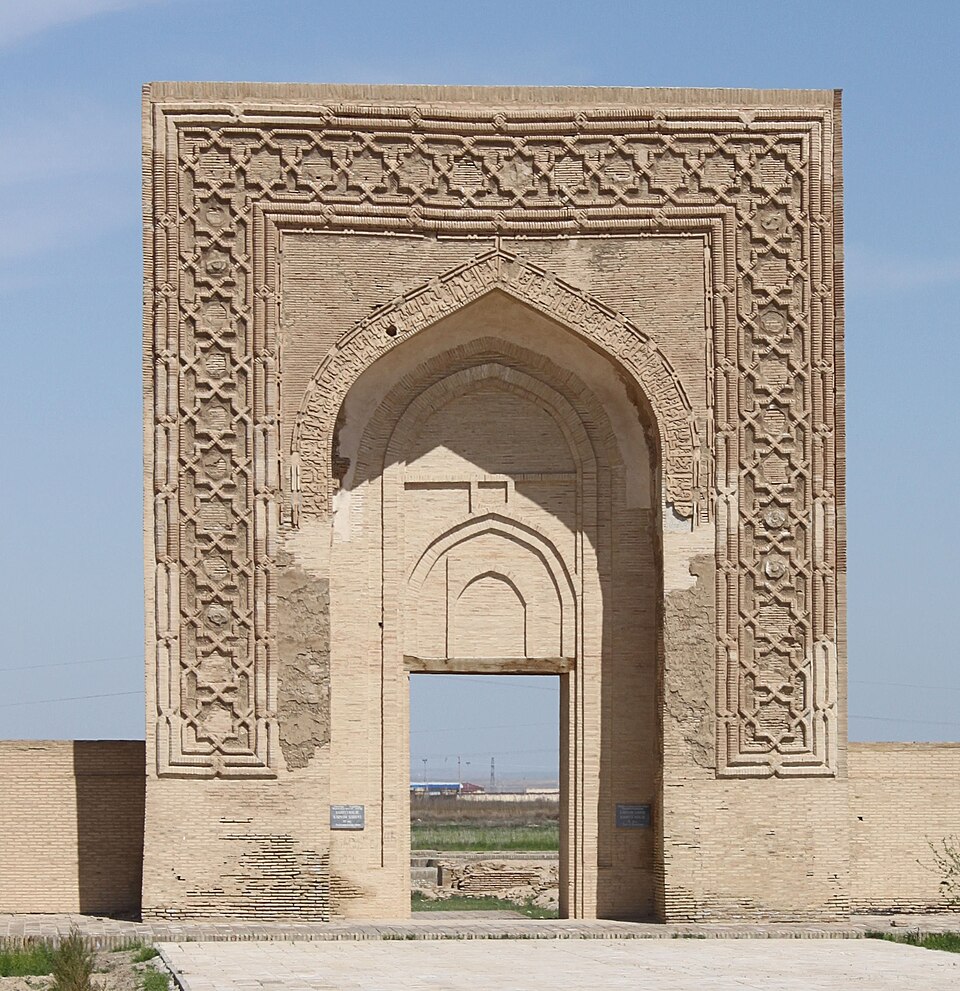
If the Silk Road fascinates you, you owe a lot of your mental picture to early modern travelers and diplomats who wrote about their journeys through Central Asia. Their accounts of walled towns, river crossings, and caravanserais have helped modern explorers and archaeologists relocate many key sites along major trade routes. Time and again, you see a pattern: a manuscript mentions a specific day’s ride between two landmarks, and when teams finally get permission to work in that region, they uncover ruins where the traveler said they should be. But those same texts also talk about temporary caravan stops, seasonal grazing encampments, and alternate tracks used to avoid bandits or bad weather. Because these places were smaller, less permanent, and often built of more fragile materials, they tend to leave lighter traces – and they’ve attracted much less attention in field research. When you read those travelogues closely, what jumps out is how aware the writers were of multiple possible routes, while modern reconstructions often sketch just one line across the map. The parts of the manuscripts that describe the “other way round” remain some of the least acted‑on, even though they might hold clues about how trade, migration, and conflict really shifted across the landscape over time.
Local Chronicles and Place‑Names: Villages Confirmed, Legends Left Hanging
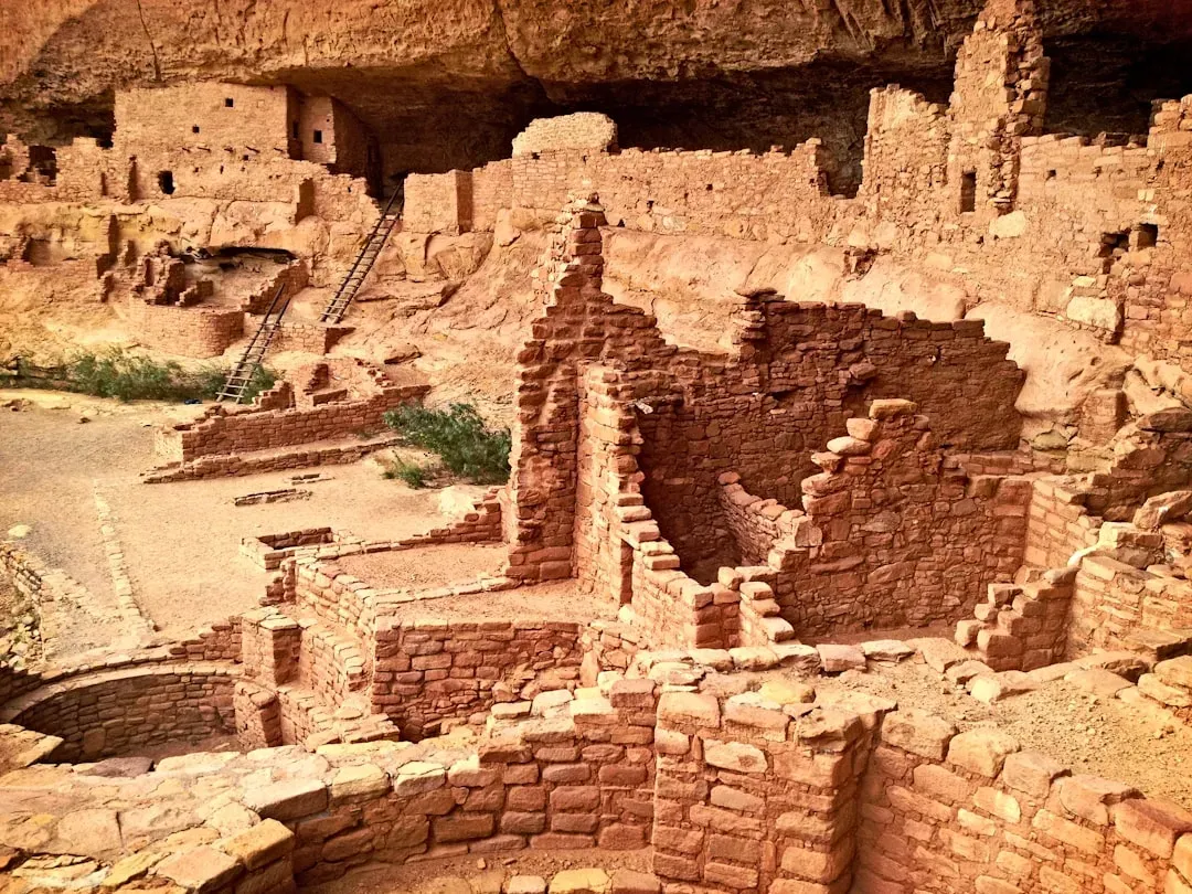
If you’ve ever heard an older relative tell stories about “the old road” or “the village that used to be there,” you already know how local memory can be a powerful guide to real places. In many parts of the world, regional chronicles and genealogical manuscripts list villages, shrines, and landmarks that, when checked carefully, line up with ruins, terrace systems, or field boundaries you can still walk through today. Archaeologists have learned to take these texts seriously, and when they do, they often confirm that an apparently minor name in a manuscript corresponds to a very real, very old site on the ground. ([en.wikipedia.org](https://en.wikipedia.org/wiki/Archaeological_record?utm_source=openai)) Yet the same manuscripts often mix in tales of vanished settlements, cursed hills, or sacred groves that “no one goes to anymore.” Because those elements sound legendary, they frequently get pushed aside when research designs are drawn up. You’re left with an intriguing situation: parts of the chronicle have already led to verifiable discoveries, proving that the text has real geographic value, while other, stranger parts stay untested. That does not mean the legends are literally true, but it does mean they may encode hints about abandoned fields, displaced communities, or older routes that still exist in the landscape if someone is willing to look.
What These Manuscripts Teach You About Unfinished Maps
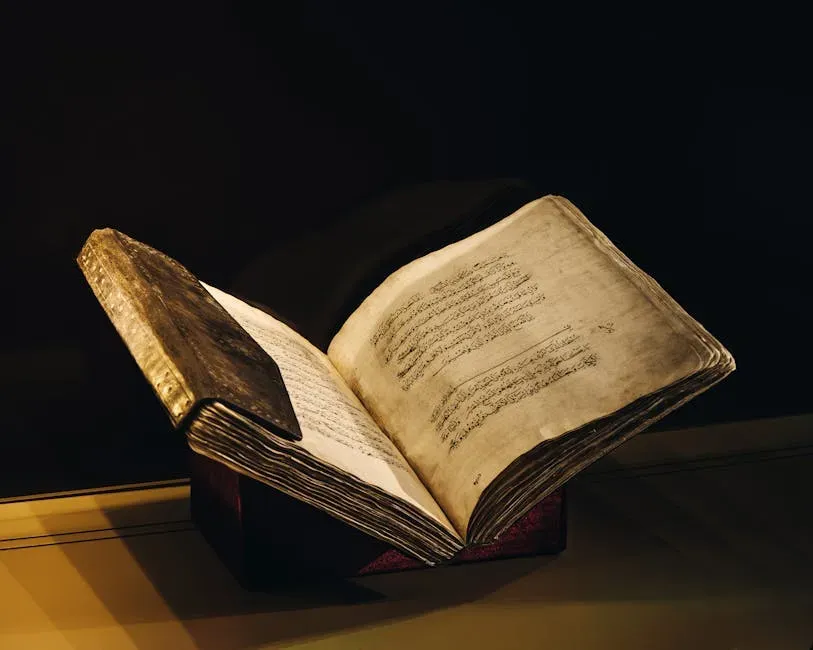
When you step back from these eleven examples, a pattern hits you hard. Time after time, manuscripts that skeptics once dismissed as unreliable ended up guiding explorers to real harbors, real cities, real roads, and real ruins. The lesson for you is simple but uncomfortable: written sources are often more accurate than modern readers expect, but we tend to mine them selectively, chasing the obvious or glamorous clues while skimming right past quieter lines that might be equally real. Every expedition that “proves” part of a text was right is also, in a way, highlighting the parts that no one has even tried to test yet. So when you read an old manuscript today – whether it is a Greek periplus, a colonial letter, a missionary journal, or a local chronicle – you are not just reading history, you are looking at an unfinished project plan. The confirmed locations show you that the author was often a careful observer; the unacted‑on passages show you where curiosity ran out, funding dried up, or priorities shifted. The most provocative question is not whether the text is true or false, but which specific two or three lines you would follow on foot if you had the chance. If you had to pick one neglected paragraph from the past to walk into tomorrow, which one would you choose?