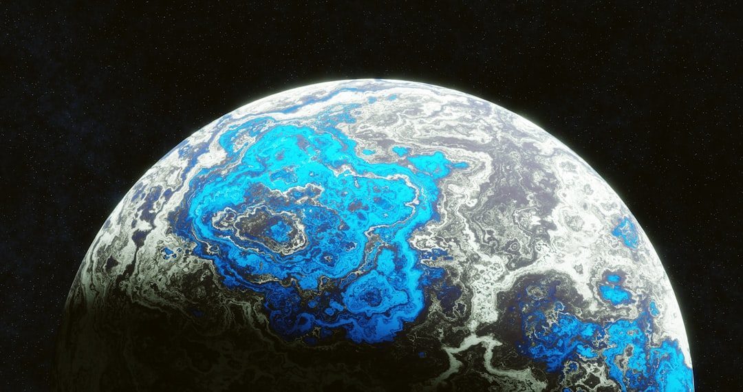
Every so often, the solid ground under our feet behaves in ways that defy our expectations, and even our best scientific models struggle to keep up. From stones that seem to glide across desert flats to perfectly circular craters that refuse to reveal their origins, Earth is littered with mysteries that feel more like science fiction than geology. Yet behind each strange phenomenon lies a trail of clues that geologists are painstakingly piecing together, rock by rock and data set by data set. In a world where we like to believe everything has already been mapped, measured, and modeled, these unexplained geological wonders are a humbling reminder: the planet is still ahead of us. As researchers deploy new tools – from orbiting satellites to quantum-level sensors – the puzzles are slowly coming into focus, but the most tantalizing cases remain stubbornly unsolved.
The Hidden Clues: The Sailing Stones of Death Valley

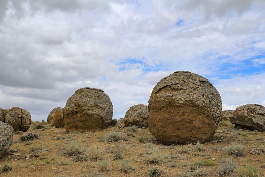
Imagine walking across a dry lake bed and finding heavy rocks that have carved graceful tracks across the mud as if they decided to go for a midnight stroll. That is the unsettling reality of Racetrack Playa in Death Valley, where the so‑called sailing stones have puzzled visitors and scientists for nearly a century. For decades, theories ranged from strong winds and ice sheets to more imaginative explanations that belonged in campfire stories, not journals. Only in the last decade did time‑lapse cameras and GPS trackers capture the stones inching along atop thin sheets of ice under just the right combination of freezing temperatures, meltwater, and light winds. Yet even with video evidence, questions linger about how often these conditions occur today in a warming climate, and whether the process has shifted over time.
What fascinates geologists is that the stones represent a natural experiment in slow motion, where forces that are usually invisible become visible as long, looping tracks in the mud. Each trail preserves a complex interplay of wind, water, and temperature patterns that would otherwise leave no trace. That means the playa is not just a curiosity; it is an accidental archive of micro‑climate behavior in one of the harshest deserts on Earth. Researchers now treat the site like a living lab, using it to refine models of ice formation, surface friction, and even how sediment may move on other icy worlds. In a sense, those wandering rocks are writing out equations in the mud, and we are only just learning how to read them.
From Ancient Tools to Modern Science: The Devil’s Kettle Puzzle
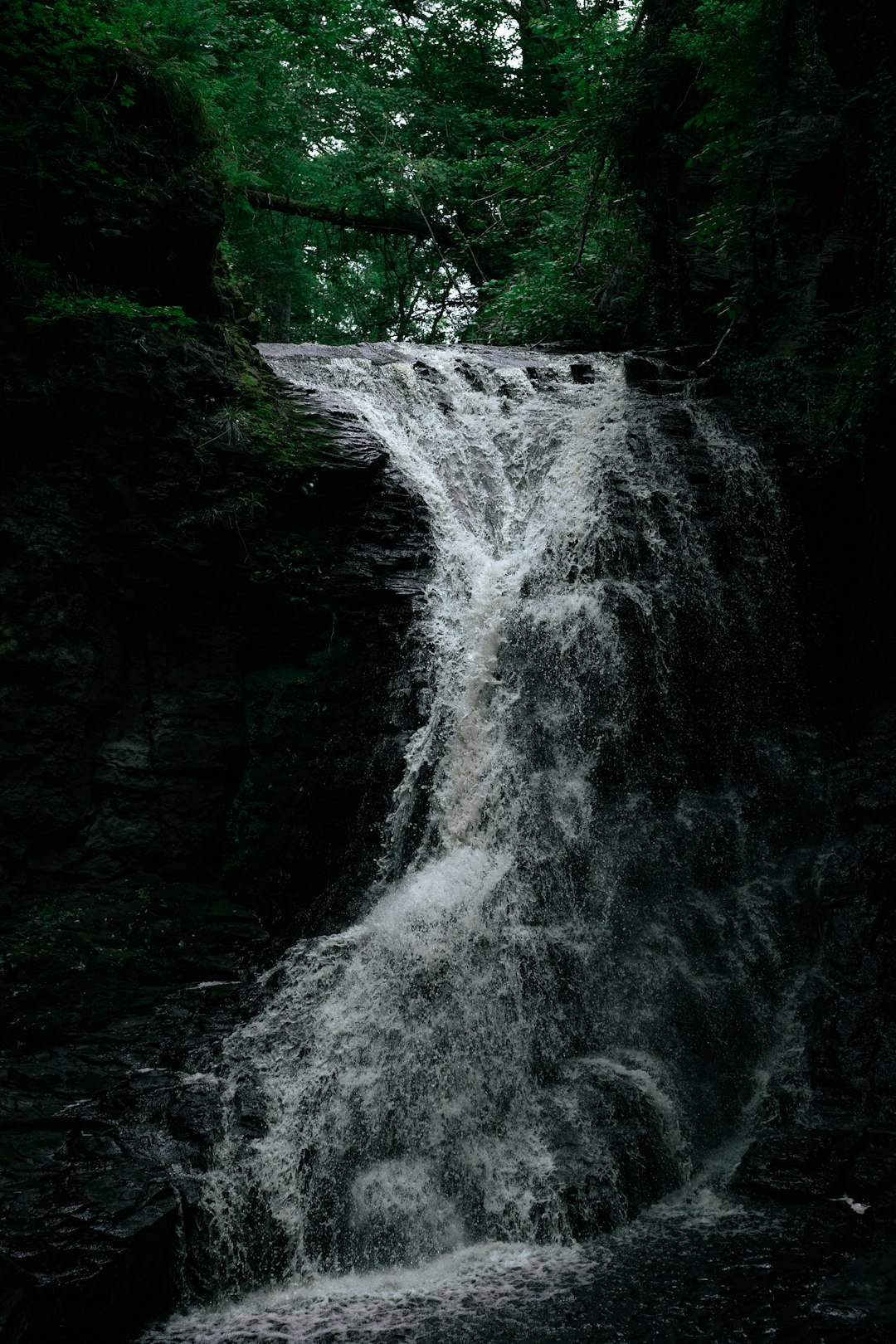
In northern Minnesota, a river seems to simply vanish into a hole in the rock, and for decades almost nothing thrown into that churning cauldron appeared downstream. This strange feature, known as the Devil’s Kettle on the Brule River, looked like a geological magic trick that even local scientists struggled to explain. People experimented with everything from brightly colored dyes to ping‑pong balls in an effort to trace where the water went, with no satisfying answers for years. The absence of obvious outlets fueled ideas about hidden caves, underground lakes, or even some unknown conduit deep into fractured bedrock. For a long time, the most honest answer from geologists was a shrug, followed by a list of possibilities that sounded more speculative than solid.
In the last several years, more systematic flow measurements have shown that the volume of water above and below the falls is nearly the same, implying that the “missing” water re‑emerges in the main river channel rather than feeding some secret reservoir. That finding supports the idea of short, tortuous underground pathways rather than vast caverns, but it still does not fully resolve the fine‑scale plumbing of the system. Modern tools like high‑resolution ground‑penetrating radar and 3D seismic imaging could, in theory, map those hidden channels, yet the steep terrain and dense forest make such surveys difficult and expensive. The Devil’s Kettle sits in a kind of technological blind spot where our instruments are powerful on paper but awkward to deploy in the field. Until a new round of surveys happens, the Kettle remains a rare reminder that even a modest waterfall in a state park can outwit twenty‑first‑century science.
Circles in the Sand: Namibia’s Enigmatic Fairy Circles

Seen from the air, stretches of the Namib Desert look like a giant board game, patterned with neat, bare circles surrounded by rings of grass. These so‑called fairy circles extend for hundreds of miles and have sparked an unusually heated debate among ecologists, geologists, and soil scientists. Two main explanations compete: one argues that termite colonies engineer the circles by altering soil moisture, while another claims that self‑organizing vegetation patterns emerge purely from plant competition for scarce water. The twist is that both mechanisms have some support from field data and computer models, and different patches of desert may be governed by different processes. No single theory has won over the entire scientific community, which is rare in an era obsessed with definitive answers.
Geologically, the fairy circles raise deeper questions about how life and landscape shape each other at large scales. The circles influence how rainwater infiltrates the soil and how nutrients move, potentially altering erosion patterns over centuries. Some satellite analyses suggest that similar, though subtler, patterns exist in Australia and other arid regions, hinting that this may be a global phenomenon, not a local oddity. Researchers now use the circles as natural test beds for models of pattern formation that could apply to everything from dune fields to planetary surfaces. In a way, each circle is both a symptom and a cause – a feedback loop etched into the sand that challenges our assumptions about what “random” desert really looks like.
When the Ground Breathes: Mysterious Booms and Earthquake Lights
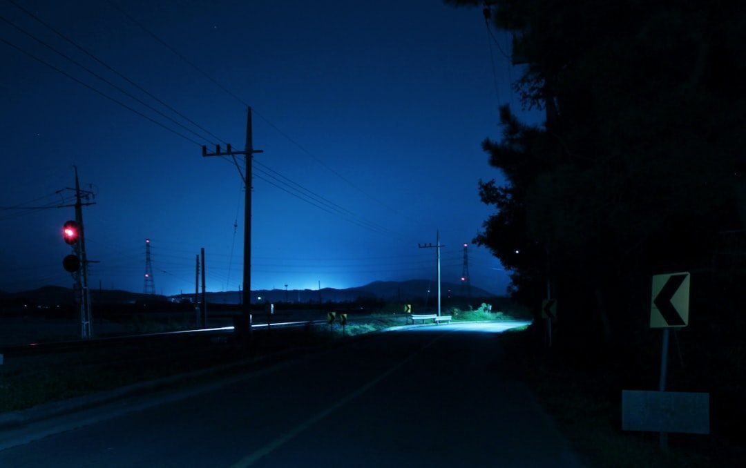
Every year, scattered reports emerge of strange thunder‑like booms and ghostly flashes of light in the sky that appear just before or during earthquakes. These so‑called earthquake lights and skyquakes have been documented for centuries, yet they sit awkwardly at the fringes of mainstream geology because they are rare, unpredictable, and hard to verify. Modern seismology has nailed down the mechanics of fault rupture and wave propagation, but transient electrical and acoustic phenomena linked to quakes are still poorly understood. Some laboratory experiments show that stressed rocks can generate electrical charges and even faint glows, while others point to piezoelectric effects or ionized gas emissions from fracturing crust. The upshot is that there may be multiple mechanisms at play, each activated under a narrow set of conditions.
From a human perspective, these phenomena can feel almost supernatural, especially to communities that experience a bright flash or booming noise seconds before a damaging tremor. They also raise an uncomfortable possibility: if these lights and sounds are real, could they someday be used as ultra‑short‑term earthquake warnings? Most seismologists are cautious, noting that anecdotal accounts far outnumber clearly documented cases, and that false alarms could be dangerous. But new sensor networks, including all‑sky cameras and distributed acoustic sensing on fiber‑optic cables, are starting to capture more data than ever before. As those data sets grow, the line between folklore and physics may finally sharpen, forcing us to revise what we think an earthquake really is.
Impact or Something Stranger? The Lonar and Carolina Bays Enigmas

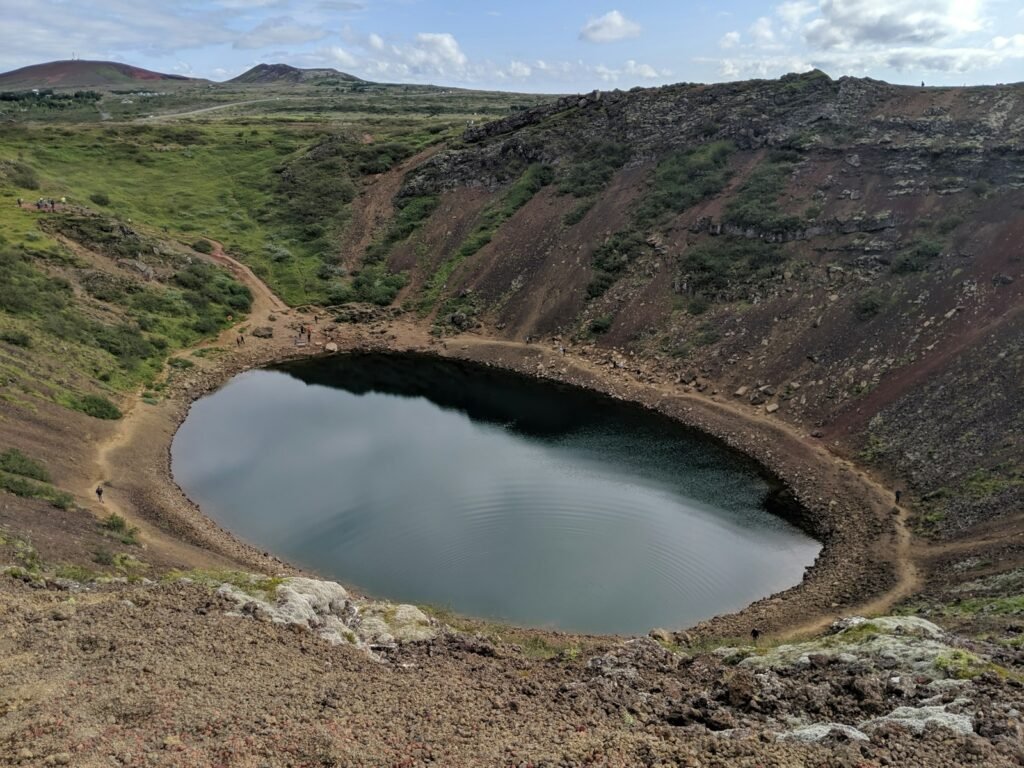
At first glance, Maharashtra’s Lonar Crater in India looks like a textbook impact site: a nearly circular basin, raised rim, and a lake at its center. For years, that was the assumed story – an ancient meteorite slammed into basaltic rock, leaving a scar that slowly filled with water. Yet the details have never lined up quite as cleanly as the diagrams in geology textbooks, especially when it comes to dating the event and matching it to known impact signatures. The crater’s age estimates vary widely, and some of the melt features and magnetic anomalies have been surprisingly hard to interpret. To complicate things further, the lake itself has undergone sudden, unexplained color changes in recent years, likely tied to microbial blooms but not fully understood.
Across the world in the eastern United States, the mysterious Carolina Bays add another layer of confusion. These shallow, oval depressions – tens of thousands of them – are aligned in similar directions and scattered across coastal plains from New Jersey to Florida. For decades, a popular idea was that they formed from a swarm of secondary impacts from a larger cosmic event, but sediment studies and radiocarbon dates have weakened that hypothesis. Alternative explanations range from wind‑driven water erosion on ancient shorelines to complex interactions of groundwater and permafrost that no longer exists in the region. In both Lonar and the Carolina Bays, scientists face a similar challenge: teasing apart multiple overlapping processes in landscapes that have been reshaped by time, climate, and life itself.
Oceans of Fire: Deep Mantle Plumes and the Supervolcano Question
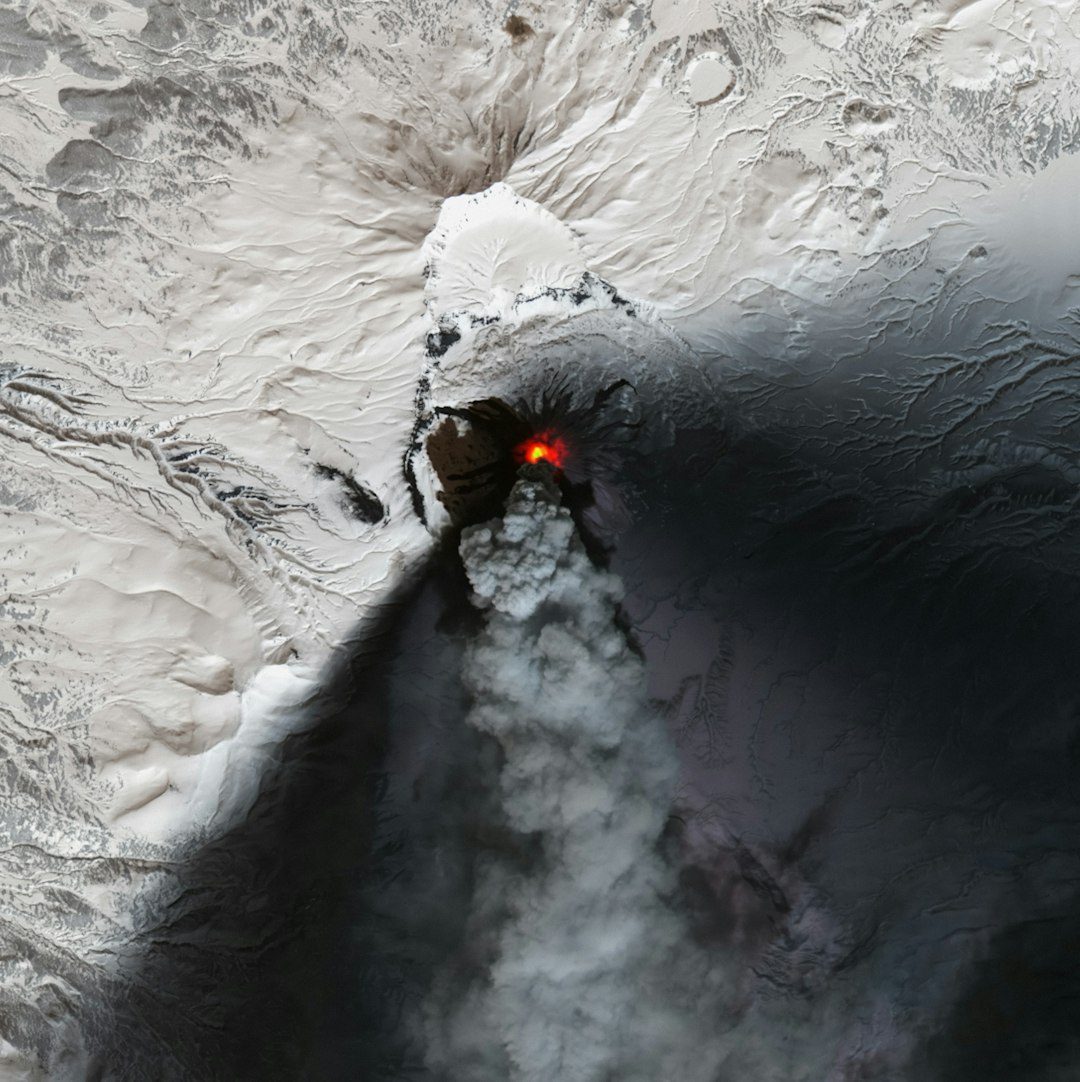
Far beneath our feet, columns of unusually hot rock are thought to rise slowly from the deep mantle like giant lava lamps, feeding hotspots such as Hawaii and Yellowstone. These mantle plumes are central to many models of how Earth loses heat and why volcanoes pop up far from plate boundaries, yet they remain maddeningly hard to image directly. Seismic tomography – using earthquake waves like a planetary CT scan – has revealed blobs and streaks that might be plumes, but the resolution is fuzzy and interpretations vary. Some geophysicists argue that we have over‑simplified Earth’s interior into tidy upwelling columns, while others say new data actually support enormous, continent‑spanning plume structures. The debate is not just academic; it affects how we estimate the long‑term behavior of so‑called supervolcanoes and their global hazards.
Take Yellowstone, where a history of massive eruptions looms over modern discussions of risk. Models of the magma reservoir, the heat flux, and the underlying plume all feed into estimates of how that system might evolve over tens of thousands of years. Yet even with dense seismic networks and satellite measurements of ground deformation, big uncertainties remain about the shape and connectivity of deep magma bodies. The same is true for other large igneous provinces and hotspots, where we see the surface evidence of vast eruptions but only blurry silhouettes of the engines below. Until imaging methods sharpen dramatically, deep mantle plumes will sit in that uncomfortable space between robust theory and elusive observation.
Frozen Mysteries: Siberian Craters and Exploding Permafrost
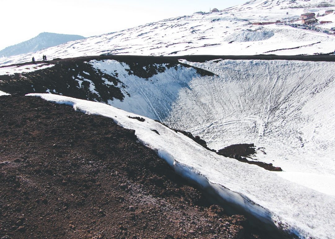
Over the past decade, giant craters have appeared suddenly in the Yamal and Gydan peninsulas of Siberia, startling local communities and scientists alike. These gaping holes, some more than a dozen stories deep, seem to form when pockets of gas trapped in thawing permafrost build up pressure and erupt explosively. The working hypothesis is that warming temperatures destabilize ice‑rich mounds called pingos, allowing methane and other gases to accumulate until the overlying material fails. But the exact triggers – how pressure, temperature, and groundwater interact right before an explosion – remain poorly constrained. There is also the unnerving possibility that many more such sites exist, hidden beneath remote tundra until they abruptly give way.
From a geological perspective, these craters are a violent expression of slow climate change, a stark reminder that frozen ground is not static. They alter drainage patterns, release buried carbon, and create new thermokarst landscapes that continue to subside for years. From a human standpoint, they raise serious concerns for infrastructure across the Arctic, from gas pipelines to remote villages built on what once seemed like stable permafrost. As satellite monitoring improves, scientists are racing to catalog suspicious bulges and subtle ground deformations that might signal future blowouts. The mystery is no longer whether the process is happening, but how often, how big, and how deeply it will reshape high‑latitude terrain.
Why It Matters: Unexplained Rocks in an Age of High‑Resolution Data
It is tempting to treat these geological oddities as mere curiosities, the sort of content you scroll past in a social feed and forget five minutes later. Yet each unexplained phenomenon exposes gaps in our understanding of how Earth behaves, especially at the margins where slow processes suddenly turn fast, or stable landscapes flip into unstable ones. Traditional geology excelled at mapping bedrock, dating layers, and reconstructing ancient environments, but many of these mysteries live in the dynamic present – where ice melts, gas builds, and faults slip in real time. That puts them squarely in the domain of modern, high‑frequency monitoring and complex, coupled models that link atmosphere, biosphere, and lithosphere. When those models fail to predict what we see on the ground, the mystery is a diagnostic tool, telling us exactly where the theory breaks.
There is also a practical dimension that goes well beyond academic curiosity. Understanding permafrost craters informs climate risk and Arctic infrastructure planning; decoding earthquake lights might refine seismic hazard forecasts; and resolving the behavior of mantle plumes shapes long‑term volcanic risk assessments for entire regions. Compared with the classic approach of waiting for rare events and then piecing together the aftermath, unexplained phenomena push scientists to be proactive, creative, and sometimes uncomfortably humble. They show that even in an age of satellites and supercomputers, small, stubborn facts on the ground can derail beautiful theories. In that sense, the world’s strangest rocks are not footnotes to geology – they are stress tests for our entire picture of how the planet works.
The Future Landscape: New Eyes, New Data, New Mysteries
What changes the game for these mysteries is not one single breakthrough but a swarm of new tools coming online at once. Fleets of small satellites are now watching Earth’s surface with unprecedented frequency, catching subtle ground motions, temperature shifts, and color changes in lakes that older missions would have missed. Fiber‑optic cables, originally laid for internet traffic, are being repurposed as dense seismic arrays that can feel tiny vibrations over hundreds of miles. Machine‑learning systems are combing through noisy data sets to flag anomalies – unusual booms, strange light flashes, odd deformation patterns – that might once have been dismissed as artifacts. Together, these technologies offer a kind of continuous, planetary‑scale surveillance that finally matches the fleeting nature of many unexplained events.
At the same time, these tools come with their own challenges, from data overload to the risk of seeing patterns where none exist. Geological mysteries live in a messy world where multiple processes overlap, and no algorithm can substitute for careful fieldwork and skeptical interpretation. There is a strong chance that solving some of today’s puzzles will simply reveal finer‑grained mysteries hidden beneath them, much as better telescopes keep finding more questions in the cosmos. Still, there is an optimism among many Earth scientists that the next decade will turn a handful of long‑standing enigmas into well‑understood case studies. When that happens, the landscapes we thought we knew may look very different, not because the rocks have changed, but because our mental maps finally catch up.
How You Can Engage: Curiosity, Reporting, and Conservation
Most of us will never rappel into a fresh permafrost crater or install sensors on a desert playa, but that does not mean we are locked out of the story. Citizen observations have quietly played a role in many geological discoveries, from photographs of unusual lights in quake‑prone regions to hikers’ GPS tracks that help map landslides and sinkholes. If you live in or travel through unusual landscapes – deserts, volcanic fields, rugged coasts – paying close attention and documenting what you see can genuinely matter. Simple steps like geotagging photos, noting dates and times, and sharing observations with local geological surveys or research groups help convert personal awe into useful data. In a world awash with images, the difference often comes down to whether something strange is captured with enough context to be scientifically meaningful.
There is also a quieter kind of engagement that hinges on protecting these places long enough for us to understand them. Many of the sites mentioned here sit in fragile ecosystems or regions under pressure from development, resource extraction, or climate‑driven change. Supporting conservation efforts, staying on marked paths, and respecting access rules are not just good etiquette; they are essential to preserving the very phenomena that captivate us. Even reading responsibly – seeking out nuanced reporting instead of sensational speculation – helps build public pressure for funding serious research instead of chasing easy headlines. Next time you see a photo of rocks that walk, lakes that vanish, or craters that appear overnight, the real question might be: how can your curiosity help, rather than just be amazed?

Suhail Ahmed is a passionate digital professional and nature enthusiast with over 8 years of experience in content strategy, SEO, web development, and digital operations. Alongside his freelance journey, Suhail actively contributes to nature and wildlife platforms like Discover Wildlife, where he channels his curiosity for the planet into engaging, educational storytelling.
With a strong background in managing digital ecosystems — from ecommerce stores and WordPress websites to social media and automation — Suhail merges technical precision with creative insight. His content reflects a rare balance: SEO-friendly yet deeply human, data-informed yet emotionally resonant.
Driven by a love for discovery and storytelling, Suhail believes in using digital platforms to amplify causes that matter — especially those protecting Earth’s biodiversity and inspiring sustainable living. Whether he’s managing online projects or crafting wildlife content, his goal remains the same: to inform, inspire, and leave a positive digital footprint.